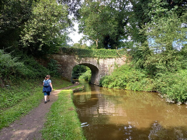
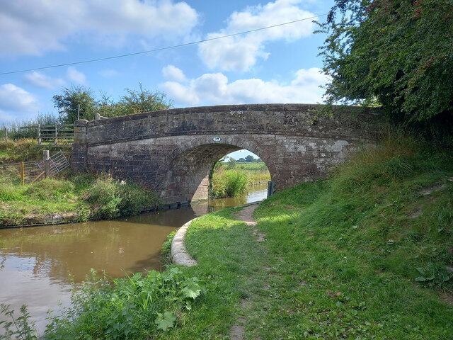
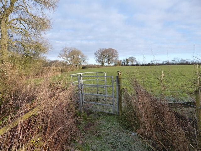
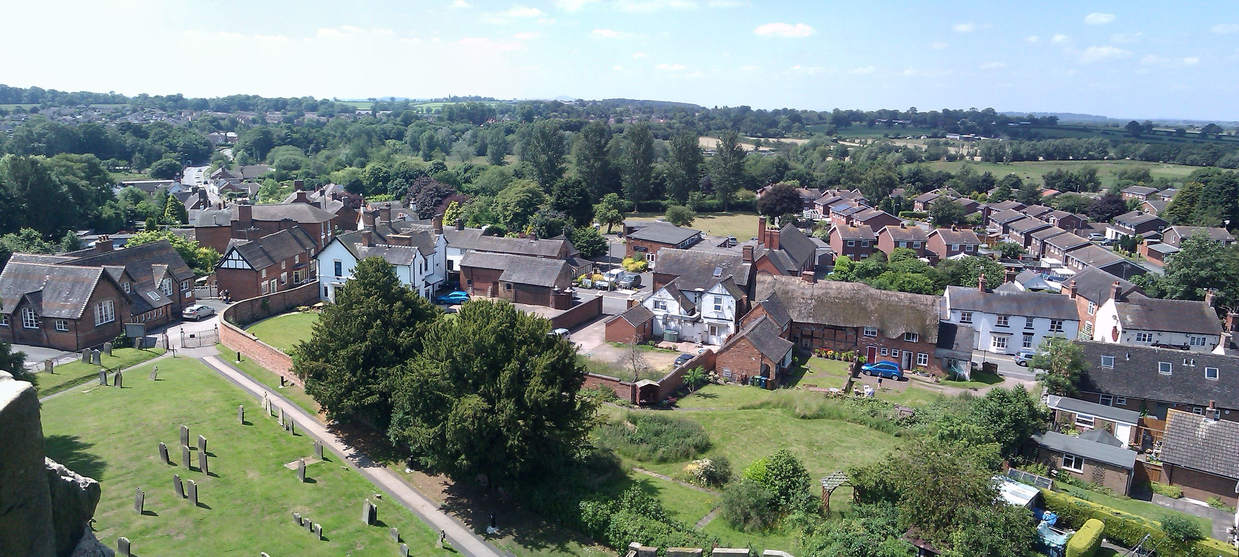
Doley Common
Downs, Moorland in Staffordshire Stafford
England
Doley Common
Doley Common is a vast open area located in Staffordshire, England. Spanning over acres of picturesque landscape, it is characterized by its unique blend of downs and moorland. The common is situated in close proximity to the village of Doley, adding to its charm and accessibility.
The downs of Doley Common offer rolling hills and expansive grasslands, providing a stunning panoramic view of the surrounding countryside. These downs are most notable for their rich biodiversity, comprising a variety of flora and fauna. The area is home to several species of wildflowers, such as heather and gorse, which bloom vibrantly throughout the year. It also provides a habitat for many bird species, including skylarks and kestrels, making it a popular spot for birdwatchers and nature enthusiasts.
In contrast, the moorland of Doley Common is characterized by its rugged and wild terrain. It features large expanses of open land, interspersed with patches of heath and bog. This unique landscape offers a glimpse into the area's geological history, with its exposed rocky outcrops and ancient peat formations. The moorland is home to various species of wildlife, including rabbits, foxes, and occasional sightings of deer.
Doley Common is a haven for outdoor activities, attracting hikers, cyclists, and horse riders. With its extensive network of trails and paths, it offers ample opportunities for exploration and adventure. The common is also a popular destination for picnickers and families, providing open spaces for recreational activities and relaxation.
Overall, Doley Common in Staffordshire is a remarkable natural landscape that seamlessly combines downs and moorland. Its diverse ecosystem and scenic beauty make it a cherished destination for nature lovers and outdoor enthusiasts alike.
If you have any feedback on the listing, please let us know in the comments section below.
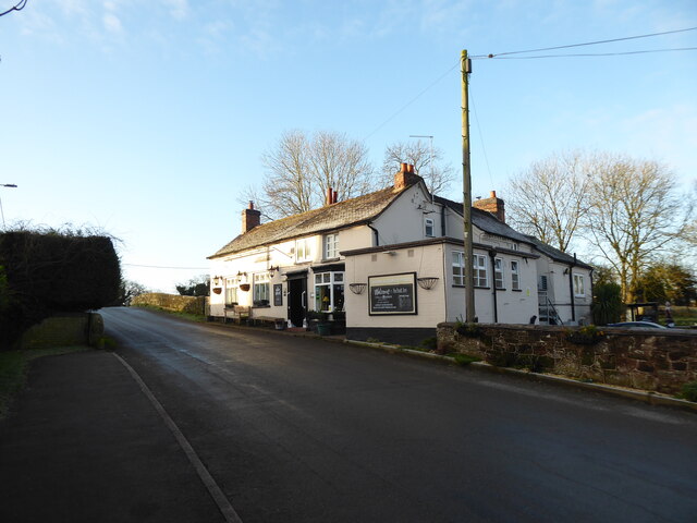
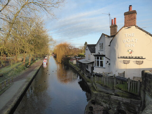
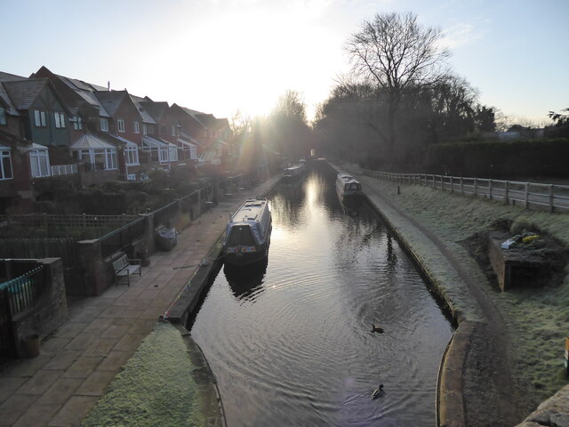
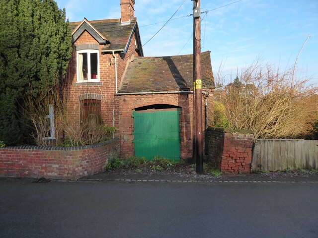
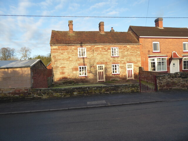
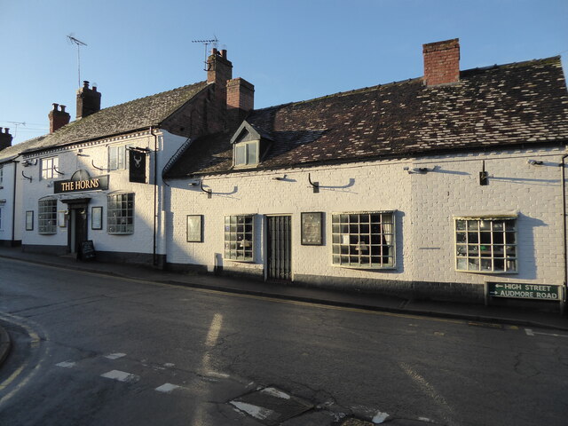
Doley Common Images
Images are sourced within 2km of 52.792778/-2.2726278 or Grid Reference SJ8121. Thanks to Geograph Open Source API. All images are credited.


Doley Common is located at Grid Ref: SJ8121 (Lat: 52.792778, Lng: -2.2726278)
Administrative County: Staffordshire
District: Stafford
Police Authority: Staffordshire
What 3 Words
///parkland.circle.rating. Near Gnosall, Staffordshire
Nearby Locations
Related Wikis

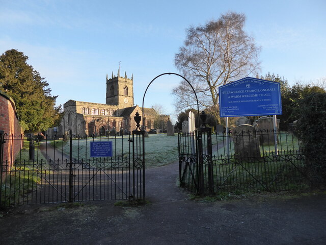
St Lawrence's Church, Gnosall
St Lawrence's Church is an Anglican church in Gnosall, Staffordshire, England. It is a Grade I listed building. The earliest parts of the church are of...
Gnosall
Gnosall () is a village and civil parish in the Borough of Stafford, Staffordshire, England, with a population of 4,736 across 2,048 households (2011 census...

Gnosall railway station
Gnosall railway station was a station in Gnosall, Staffordshire, England. The station was opened in June 1849 and closed on 7 September 1964. == References... ==

Coton, Staffordshire
Coton is a hamlet in the English county of Staffordshire.It lies on the A518 road some two miles west of Gnosall. == See also == Listed buildings in Gnosall...

Norbury Junction
Norbury Junction (grid reference SJ793228) is a hamlet and former canal junction which lies about 1 mile (1.6 km) to the south east of Norbury, in Staffordshire...
Gnosall Rural District
Gnosall was a rural district in Staffordshire, England from 1894 to 1934. It was formed under the Local Government Act 1894 from that part of the Newport...
Ranton Green
Ranton Green is a small village in Staffordshire about a mile southwest of Ranton, Staffordshire and a mile northeast of Gnosall. It consists of a few...

Abbey House, Ranton
Abbey House is an early 19th-century ruined stately home in Ranton, Staffordshire, England. == History == The red-brick Regency house was built in 1820...
Nearby Amenities
Located within 500m of 52.792778,-2.2726278Have you been to Doley Common?
Leave your review of Doley Common below (or comments, questions and feedback).