Birk Rigg Allotment
Downs, Moorland in Yorkshire Richmondshire
England
Birk Rigg Allotment
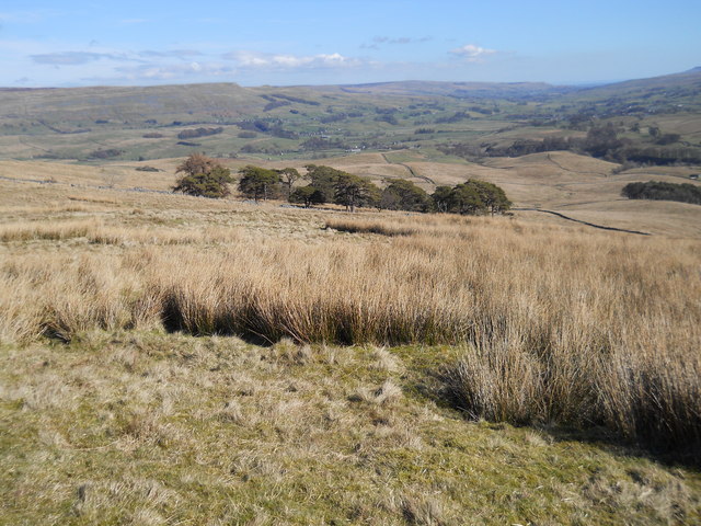
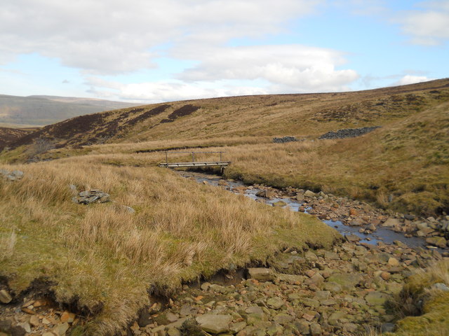
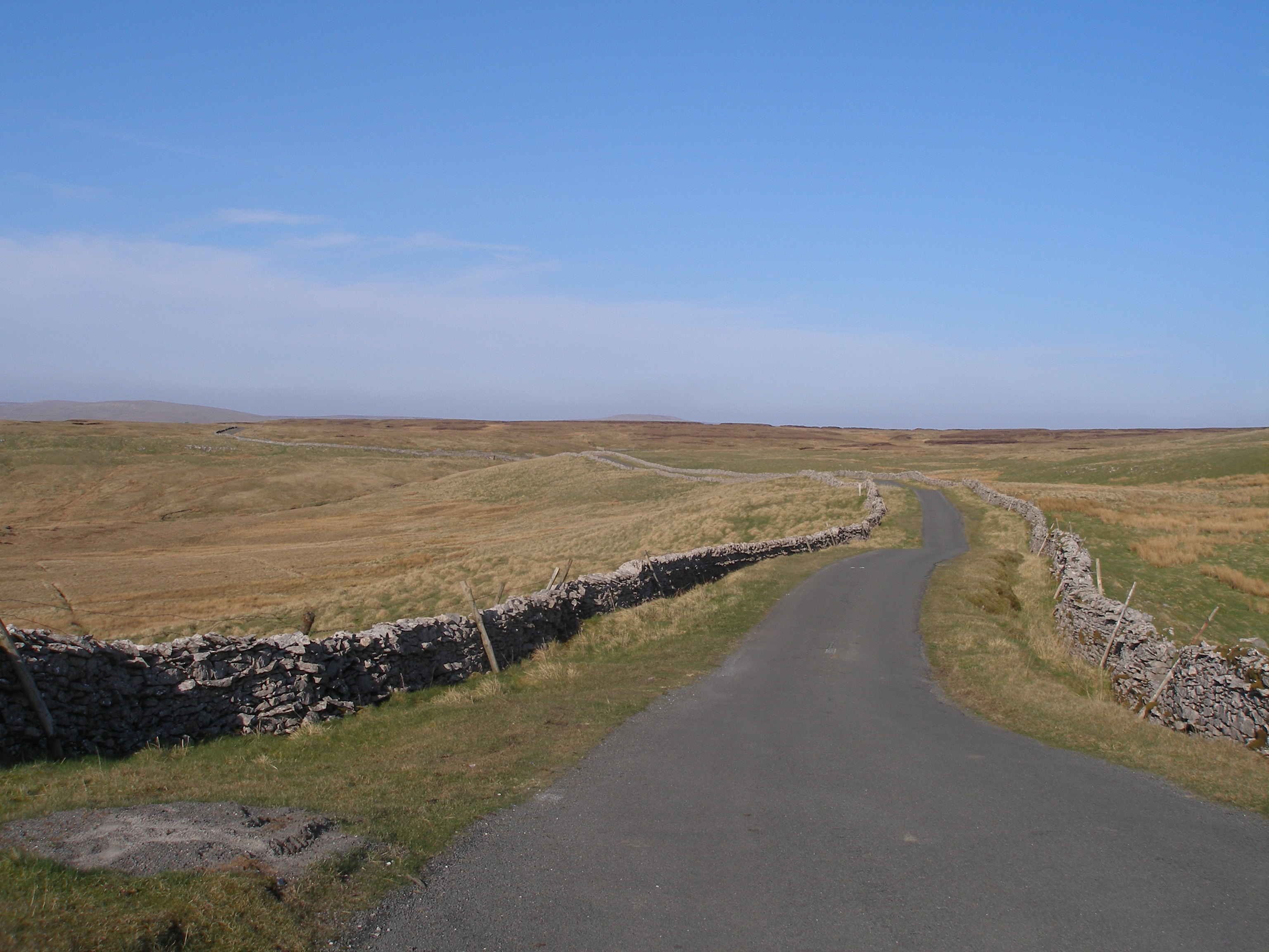
Birk Rigg Allotment is located in the picturesque county of Yorkshire, specifically in the region known for its stunning Downs and Moorland landscapes. This allotment is situated in a serene and idyllic setting, surrounded by rolling hills, lush greenery, and breathtaking views.
Covering a generous area of land, Birk Rigg Allotment offers a haven for nature enthusiasts and gardening enthusiasts alike. It provides a unique opportunity for individuals to cultivate and nurture their own plots of land, fostering a sense of community and promoting sustainable living practices.
The allotment features a variety of growing spaces, each carefully divided into individual plots that can be rented by local residents. These plots allow individuals to grow a diverse range of fruits, vegetables, flowers, and herbs, promoting self-sufficiency and a connection to the land.
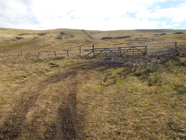
Birk Rigg Allotment is well-maintained, with neatly defined pathways and communal areas for socializing and relaxation. The surrounding natural beauty adds to the overall charm of the allotment, creating a tranquil atmosphere where individuals can escape the hustle and bustle of daily life.
The allotment is managed by a dedicated committee who ensure that the site is well-maintained and that all necessary amenities are provided. These amenities include access to water sources, basic storage facilities, and communal composting areas to encourage sustainable gardening practices.
Birk Rigg Allotment is not just a place to grow plants; it is a vibrant community where like-minded individuals can come together to share knowledge, experiences, and a passion for gardening. It offers a peaceful retreat for people to connect with nature, learn new skills, and enjoy the fruits of their labor in a stunning Yorkshire setting.
If you have any feedback on the listing, please let us know in the comments section below.
Birk Rigg Allotment Images
Images are sourced within 2km of 54.30973/-2.282642 or Grid Reference SD8190. Thanks to Geograph Open Source API. All images are credited.


Birk Rigg Allotment is located at Grid Ref: SD8190 (Lat: 54.30973, Lng: -2.282642)
Division: North Riding
Administrative County: North Yorkshire
District: Richmondshire
Police Authority: North Yorkshire
What 3 Words
///sitting.gems.collect. Near Sedbergh, Cumbria
Nearby Locations
Related Wikis
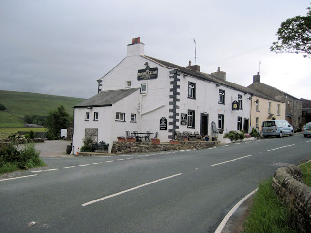
Moorcock Inn
The Moorcock Inn is a public house at the watershed of the Eden, Clough and Ure rivers, in Upper Wensleydale, North Yorkshire, England. It is adjacent...

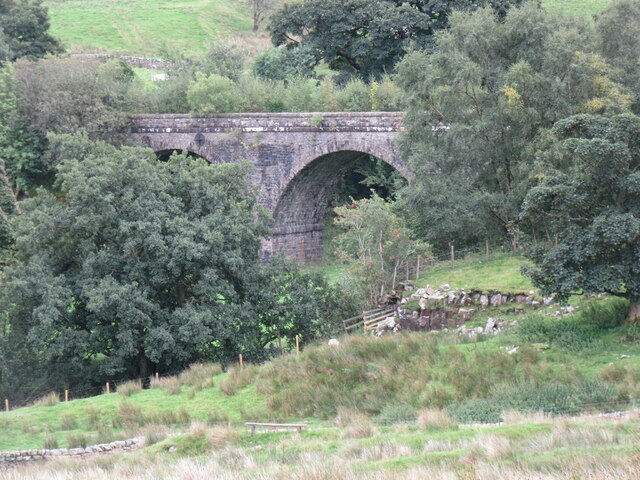
Dandry Mire Viaduct
Dandry Mire Viaduct, (or Dandrymire Viaduct), is a railway viaduct on the Settle & Carlisle line in Cumbria, England. It is just north of Garsdale station...

Garsdale railway station
Garsdale is a railway station in Cumbria, England (historically in the West Riding of Yorkshire), on the Settle and Carlisle Line, which runs between Carlisle...

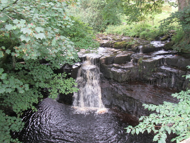
Cotter Force
Cotter Force is a small waterfall on Cotterdale Beck, a minor tributary of the River Ure, near the mouth of Cotterdale, a side dale in Wensleydale, North...
Coal Road
The Coal Road (also known as the Galloway Gate Road) is an unclassified highway which connects the railway stations at Garsdale and Dent in Cumbria, England...

Garsdale Head
Garsdale Head is a hamlet mainly within the South Lakeland district of Cumbria, England. Historically part of the West Riding of Yorkshire, the hamlet...

Cotterdale
Cotterdale is a small side dale and hamlet on the north side of Wensleydale in North Yorkshire, England. The dale lies to the west of Great Shunner Fell...

Appersett
Appersett is a hamlet in the Yorkshire Dales in the Richmondshire district of North Yorkshire, England one mile (1.6 km) west of Hawes. It lies on the...
Have you been to Birk Rigg Allotment?
Leave your review of Birk Rigg Allotment below (or comments, questions and feedback).