Harborough, Market

Settlement in Leicestershire / Northants Harborough

England

Harborough, Market

Welland Park Welland Park is the largest park in Market Harborough, and was laid out in the 1930s. It includes most of the facilities that might be expected in a municipal park including a children's playground, skate park and tennis courts. It was awarded green flag status in 2007. In this view houses on Welland Park Road can be seen ahead.
Welland Park Credit: Stephen McKay

Harborough Market is a historic market town located on the border of Leicestershire and Northamptonshire, in the East Midlands region of England. It is situated on the River Welland, approximately 20 miles southeast of Leicester and 15 miles west of Kettering. The town is part of the Harborough district and is often referred to as Market Harborough.

Market Harborough has a rich history dating back to Roman times when it was an important trading center. The town's name is derived from the Old English words "mearth" meaning market and "beorh" meaning hill, referring to its location on a hilltop.

Today, Market Harborough is a vibrant and bustling market town with a thriving community. Its charming town center is known for its independent shops, boutiques, and traditional markets that take place every Tuesday, Friday, and Saturday. The market offers a wide range of goods, including fresh produce, clothing, antiques, and crafts.

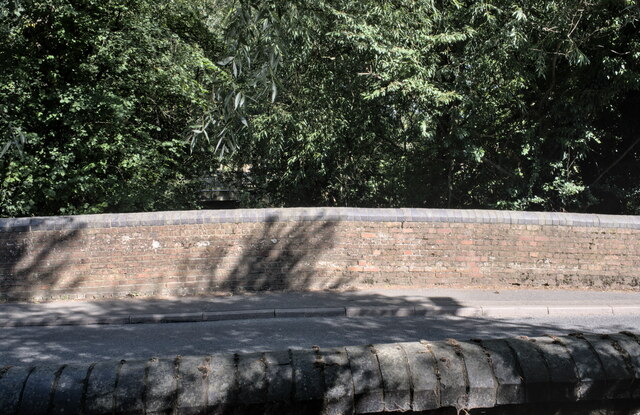
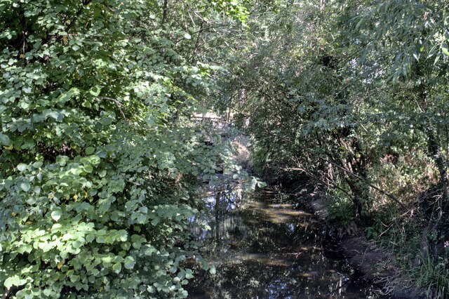
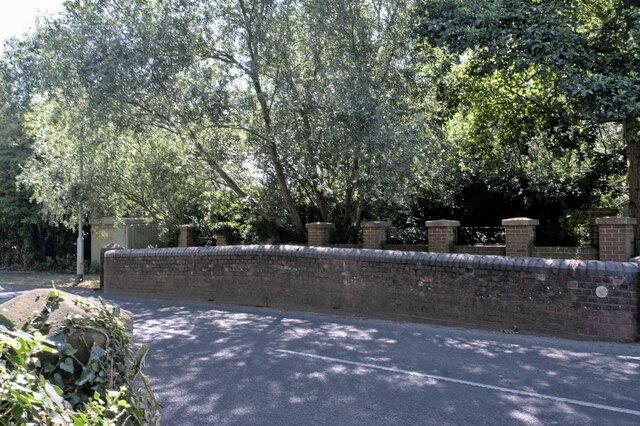
The town also boasts several historic landmarks, including the Old Grammar School, the 13th-century St. Dionysius Church, and the iconic Welland Viaduct, which is a railway landmark. The picturesque countryside surrounding Market Harborough provides ample opportunities for outdoor activities, such as walking, cycling, and boating along the Grand Union Canal.

Market Harborough benefits from excellent transport links, with direct train services to London and Leicester, making it an attractive place for commuters. The town has a strong sense of community, with various events and festivals held throughout the year, including the annual Harborough Carnival and Christmas lights switch-on.

Overall, Market Harborough is a charming and historic market town, offering a mix of traditional charm and modern amenities, making it a desirable place to live and visit.

If you have any feedback on the listing, please let us know in the comments section below.

Harborough, Market Images

Images are sourced within 2km of 52.458081/-0.9270863 or Grid Reference SP7385. Thanks to Geograph Open Source API. All images are credited.

Welland Park Welland Park is the largest park in Market Harborough, and was laid out in the 1930s. It includes most of the facilities that might be expected in a municipal park including a children's playground, skate park and tennis courts. It was awarded green flag status in 2007. In this view houses on Welland Park Road can be seen ahead.
Welland Park
Welland Park is the largest park in Market Harborough, and was laid out in the 1930s. It includes most of the facilities that might be expected in a municipal park including a children's playground, skate park and tennis courts. It was awarded green flag status in 2007. In this view houses on Welland Park Road can be seen ahead.
Viewing platform, Prince Rupert's Viewpoint
Autumn sown crop alongside Clipston Road
Oxenden Road
Oxenden Road
Highest bridging point There may be higher bridging points across the Welland between here and the source, but if so they are on private land and inaccessible to a Geographists.  This rustic composition of telegraph poles and railway sleepers appears solid, apart from the gap.  A nearby homeowner told me the missing boarding had been removed by caravan dwelling itinerant scrap metal enthusiasts, probably (she said) to sell to landscape enthusiasts.
Highest bridging point
There may be higher bridging points across the Welland between here and the source, but if so they are on private land and inaccessible to a Geographists. This rustic composition of telegraph poles and railway sleepers appears solid, apart from the gap. A nearby homeowner told me the missing boarding had been removed by caravan dwelling itinerant scrap metal enthusiasts, probably (she said) to sell to landscape enthusiasts.
Bridge with added footbridge A small 19th century bridge over the Welland, with an added footway dating from the building of the nearby houses in the early 20th century.  There are therefore two parapets on the western, upstream, side.
Bridge with added footbridge
A small 19th century bridge over the Welland, with an added footway dating from the building of the nearby houses in the early 20th century. There are therefore two parapets on the western, upstream, side.
The river Welland Looking upstream from <a href="https://www.geograph.org.uk/photo/7267037">SP7286 : Bridge with added footbridge</a>, the bridge over the river at Farndon Road.  Although it has been a dry summer, and much of the river is close to dry, there is a pool formed here by a weir in the adjacent park.
The river Welland
Looking upstream from SP7286 : Bridge with added footbridge, the bridge over the river at Farndon Road. Although it has been a dry summer, and much of the river is close to dry, there is a pool formed here by a weir in the adjacent park.
Bridge parapets From the footpath on the Western side, two parapets of the bridge over the Welland.
Bridge parapets
From the footpath on the Western side, two parapets of the bridge over the Welland.
The River Welland Looking downstream from <a href="https://www.geograph.org.uk/photo/7267046">SP7286 : Bridge parapets</a> into the pool at the head of the cascade in Welland Park
The River Welland
Looking downstream from SP7286 : Bridge parapets into the pool at the head of the cascade in Welland Park
Two parapets The two upstream parapets of <a href="https://www.geograph.org.uk/photo/7267037">SP7286 : Bridge with added footbridge</a>, over the River Welland.
Two parapets
The two upstream parapets of SP7286 : Bridge with added footbridge, over the River Welland.
Bridge in Farndon Road The bridge seen in <a href="https://www.geograph.org.uk/photo/7267037">SP7286 : Bridge with added footbridge</a> viewed from the Welland Park.  Oh, and a pipe bridge.

Notice the difference in brick materials between the arch and the parapet, leads me to suppose that the bridge is older than it appears.
Bridge in Farndon Road
The bridge seen in SP7286 : Bridge with added footbridge viewed from the Welland Park. Oh, and a pipe bridge. Notice the difference in brick materials between the arch and the parapet, leads me to suppose that the bridge is older than it appears.
Cascade Weir on the River Welland in the Welland Park.

This is actually three small weirs, arranged to permit a degree of fish movement upstream.

This is the view Upstream from <a href="https://www.geograph.org.uk/photo/7268813">SP7286 : Footbridge over the Welland</a>.
Cascade
Weir on the River Welland in the Welland Park. This is actually three small weirs, arranged to permit a degree of fish movement upstream. This is the view Upstream from SP7286 : Footbridge over the Welland.
Bonkers fingerpost One of the idiosyncratic signposts along National Cycle Route 6.  These were funded by the Royal Bank of Scotland to mark the Millennium in 2000.
Bonkers fingerpost
One of the idiosyncratic signposts along National Cycle Route 6. These were funded by the Royal Bank of Scotland to mark the Millennium in 2000.
The third parapet This footpath and the piered parapet on the right were added to the bridge seen in <a href="https://www.geograph.org.uk/photo/7267037">SP7286 : Bridge with added footbridge</a> to improve road safety.  This parapet matches that on the retaining wall seen in <a href="https://www.geograph.org.uk/photo/7267041">SP7286 : The river Welland</a> and probably dates from the construction of Riverside Court  in the 1980s.
The third parapet
This footpath and the piered parapet on the right were added to the bridge seen in SP7286 : Bridge with added footbridge to improve road safety. This parapet matches that on the retaining wall seen in SP7286 : The river Welland and probably dates from the construction of Riverside Court in the 1980s.
Footbridge over the Welland This wooden footbridge is in the Welland Park, a few tens of metres away from <a href="https://www.geograph.org.uk/photo/7267037">SP7286 : Bridge with added footbridge</a> in Farndon Road, and is another way for pedestrians to cross the river without venturing into the roadway there.

It is where National Cycle Route 6 crosses the Welland.
Footbridge over the Welland
This wooden footbridge is in the Welland Park, a few tens of metres away from SP7286 : Bridge with added footbridge in Farndon Road, and is another way for pedestrians to cross the river without venturing into the roadway there. It is where National Cycle Route 6 crosses the Welland.
Downstream from the footbridge This is the River Welland downstream of the <a href="https://www.geograph.org.uk/photo/7268813">SP7286 : Footbridge over the Welland</a>.
Downstream from the footbridge
This is the River Welland downstream of the SP7286 : Footbridge over the Welland.
Bridge over the River Welland The Welland flows through Market Harborough, and there are several bridges provided to cross it.  This one is in Welland Park Road, at one time the town's internal bypass although it reverted to a local road in the 1990s.  

The cast concrete parapet bears the date 1931.
Bridge over the River Welland
The Welland flows through Market Harborough, and there are several bridges provided to cross it. This one is in Welland Park Road, at one time the town's internal bypass although it reverted to a local road in the 1990s. The cast concrete parapet bears the date 1931.
Art Deco Parapet This is the Southern Parapet of the <a href="https://www.geograph.org.uk/photo/7268857">SP7286 : Bridge over the River Welland</a>.
Art Deco Parapet
This is the Southern Parapet of the SP7286 : Bridge over the River Welland.
Show me another place!

Harborough, Market is located at Grid Ref: SP7385 (Lat: 52.458081, Lng: -0.9270863)

Administrative County: Leicestershire

District: Harborough

Police Authority: Leicestershire

What 3 Words

///fond.richly.coached. Near Market Harborough, Leicestershire

Nearby Locations

Harborough, Market

Related Wikis

Little Oxendon

Little Oxendon is a deserted medieval village about one mile north of Great Oxendon (where any population is included) at grid reference SP730846. A number...

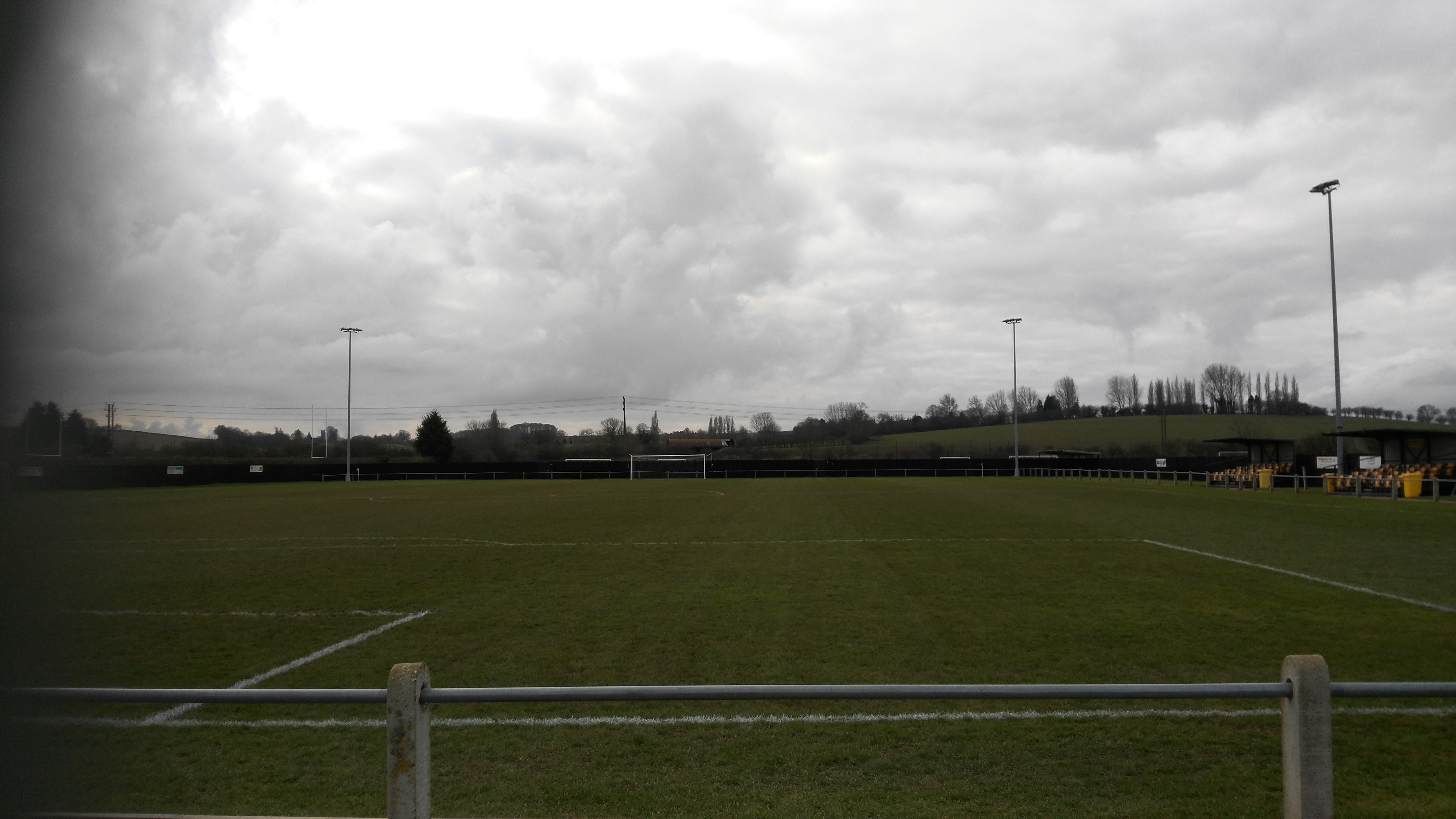
Harborough Town F.C.

Harborough Town Football Club is a football club based in Market Harborough, Leicestershire, England. They are currently members of the Northern Premier...

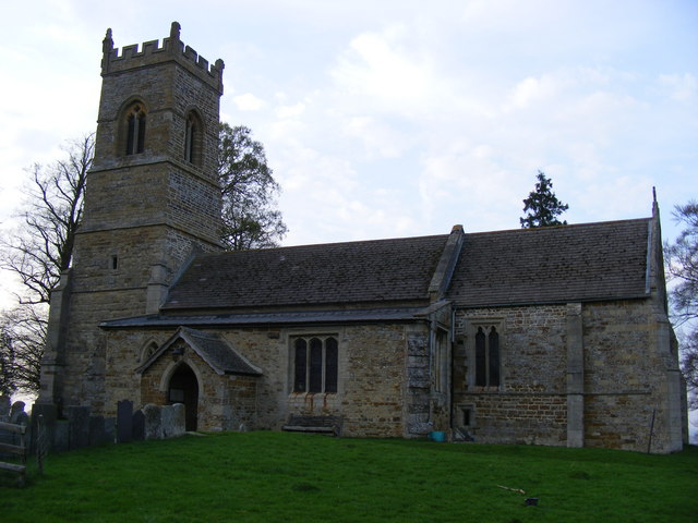
St Helen's Church, Oxendon

St Helen's Church is an Anglican Church and the parish church of Oxendon. It is a Grade II* listed building and stands on the west side of Harborough...

East Farndon

East Farndon is a small linear village and civil parish about one mile south of Market Harborough in West Northamptonshire, England. The village is close...

St John the Baptist's Church, East Farndon

St John the Baptist's Church is an Anglican church, the parish church of East Farndon, Northamptonshire. It is a Grade I listed building and stands in...

Great Oxendon

Great Oxendon is a linear village and civil parish in West Northamptonshire in England. At the time of the 2001 census, the parish's population was 307...

Welland Park Academy

Welland Park Academy is a co-educational secondary school located in Market Harborough in the English county of Leicestershire for 11-16-year-olds. It...
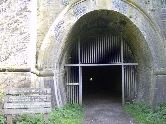
Oxendon Tunnels

The Oxendon Tunnels are disused railway tunnels in Northamptonshire, England. The Northampton to Market Harborough line opened in 1859 and had tunnels...

Nearby Amenities

Located within 500m of 52.458081,-0.9270863
Little Oxendon
Historic: ruins
Historic Civilization: medieval
Ruins: village
Lat/Long: 52.4548985/-0.926866
The data included in this document is from www.openstreetmap.org. The data is made available under ODbL.

Have you been to Harborough, Market?

Leave your review of Harborough, Market below (or comments, questions and feedback).