The Forest of Pendle
Downs, Moorland in Lancashire Pendle
England
The Forest of Pendle

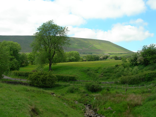
The Forest of Pendle is a picturesque area located in Lancashire, England. Covering a vast expanse of downs and moorland, it is known for its stunning natural beauty and rich history. The forest is situated in the southeastern part of the county, near the towns of Burnley and Clitheroe.
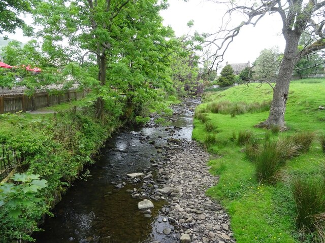
The landscape of the Forest of Pendle is characterized by rolling hills, vast open spaces, and dense woodland. The area boasts a diverse range of flora and fauna, making it a haven for nature lovers and wildlife enthusiasts. Visitors can expect to encounter a variety of bird species, mammals, and plant life as they explore the forest.
The forest is also famous for its association with the Pendle Witch Trials of 1612. The trials were a series of witchcraft prosecutions that took place in the area, resulting in the execution of ten individuals. Today, visitors can learn about this dark chapter in history by visiting the Pendle Heritage Centre, which offers exhibits and information about the trials.
The Forest of Pendle offers a range of activities for outdoor enthusiasts. There are numerous walking and hiking trails that allow visitors to explore the stunning scenery and take in panoramic views of the surrounding countryside. Additionally, the forest is a popular destination for mountain biking and horseback riding.
Overall, the Forest of Pendle is a captivating destination that combines natural beauty with a fascinating history. Whether it's exploring the enchanting woodland or delving into its dark past, visitors are sure to be captivated by the unique charm of this Lancashire gem.
If you have any feedback on the listing, please let us know in the comments section below.
The Forest of Pendle Images
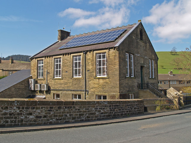
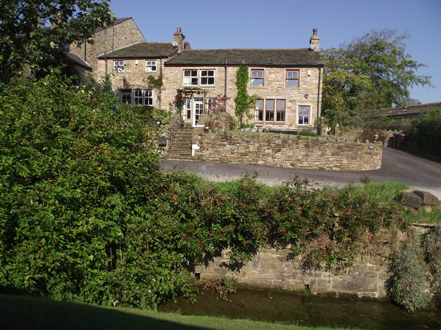
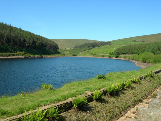
Images are sourced within 2km of 53.844374/-2.2855141 or Grid Reference SD8138. Thanks to Geograph Open Source API. All images are credited.


The Forest of Pendle is located at Grid Ref: SD8138 (Lat: 53.844374, Lng: -2.2855141)
Administrative County: Lancashire
District: Pendle
Police Authority: Lancashire
What 3 Words
///trickles.repeats.massaged. Near Sabden, Lancashire
Nearby Locations
Related Wikis

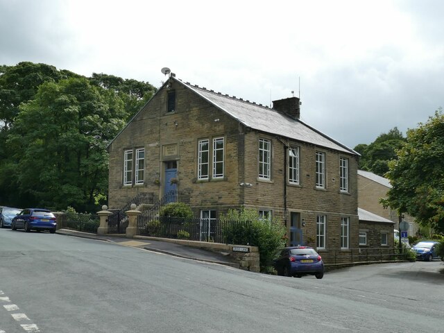
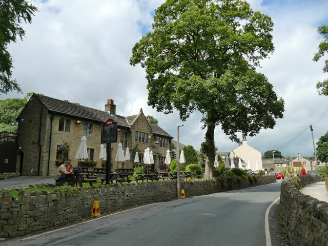
Newchurch in Pendle
Newchurch in Pendle is a village in the civil parish of Goldshaw Booth, Pendle, Lancashire, England, adjacent to Barley, to the south of Pendle Hill. It...

Goldshaw Booth
Goldshaw Booth is a civil parish in the Pendle district of Lancashire, England. It has a population of 248, and contains the village of Newchurch in Pendle...
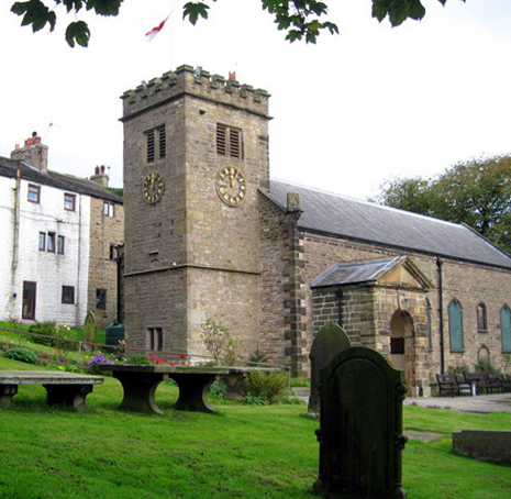
St Mary's Church, Newchurch in Pendle
St Mary's Church is in the village of Newchurch in Pendle, Lancashire, England. The church is recorded in the National Heritage List for England as a...

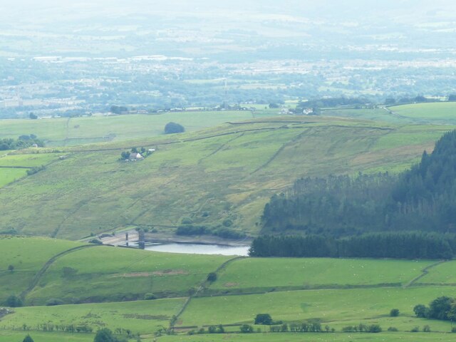
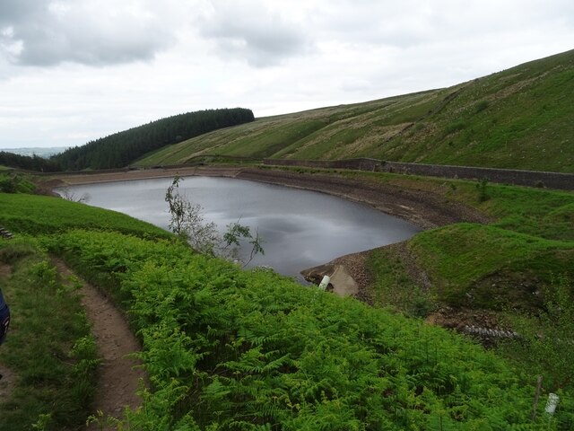
Ogden Reservoirs
Upper and Lower Ogden Reservoirs are half a mile to the west of the village of Barley, in the Borough of Pendle, England. They supply drinking water to...
Nearby Amenities
Located within 500m of 53.844374,-2.2855141Have you been to The Forest of Pendle?
Leave your review of The Forest of Pendle below (or comments, questions and feedback).