Findlay's Muir

Downs, Moorland in Aberdeenshire

Scotland

Findlay's Muir

Wet ground, Auchry Low lying ground near the Burn of Monquhitter.
Wet ground, Auchry Credit: Richard Webb

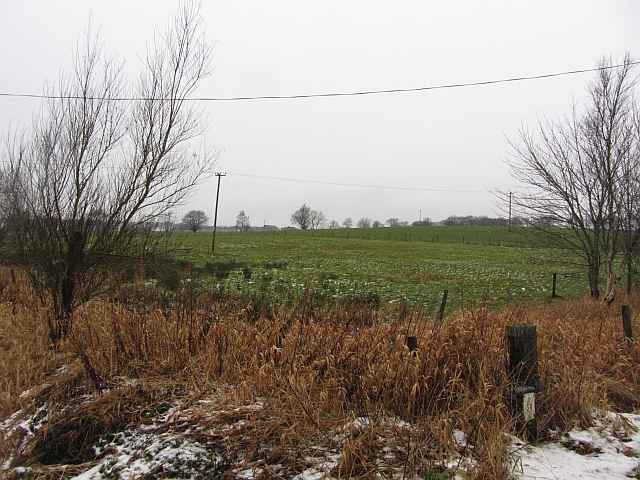
Findlay's Muir is a sprawling expanse of downs and moorland located in Aberdeenshire, Scotland. Covering an area of approximately 500 hectares, it is a haven for nature enthusiasts and outdoor adventurers alike.

The landscape of Findlay's Muir is characterized by undulating hills and open grasslands, interspersed with patches of heather and gorse. The downs offer breathtaking panoramic views of the surrounding countryside, with distant hills and rolling fields stretching as far as the eye can see. The moorland, on the other hand, is a wild and rugged terrain, dotted with peat bogs and crisscrossed by meandering streams.

The area is home to a diverse range of flora and fauna, making it a paradise for wildlife enthusiasts. Visitors can spot an array of bird species, including skylarks, meadow pipits, and red grouse, as well as the occasional raptor soaring overhead. Mammals such as red deer, mountain hares, and rabbits can also be spotted in their natural habitat.

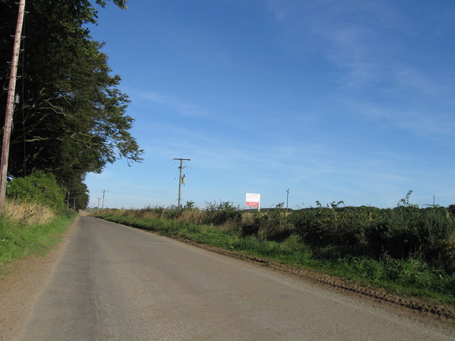
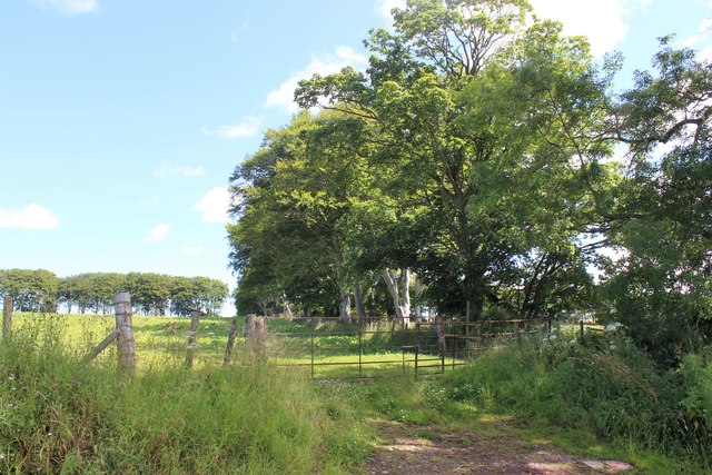
Findlay's Muir offers a network of well-maintained walking trails, allowing visitors to explore the area at their own pace. Hikers can traverse the downs, enjoying the gentle slopes and lush greenery, while more adventurous souls can venture onto the moorland, navigating its challenging terrain.

The area is also steeped in history, with remnants of ancient settlements and stone circles scattered across the landscape. These archaeological sites provide a glimpse into the rich heritage of the region and offer a fascinating insight into the lives of the people who once called this area home.

In summary, Findlay's Muir is a captivating destination, offering a mix of downs and moorland, abundant wildlife, scenic views, and historical significance. It is a place where visitors can immerse themselves in nature, experience the tranquility of the countryside, and appreciate the raw beauty of Aberdeenshire.

If you have any feedback on the listing, please let us know in the comments section below.

Findlay's Muir Images

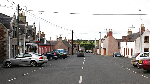
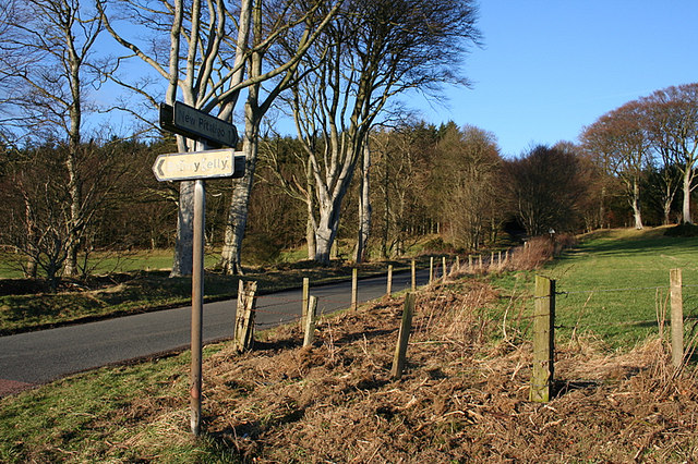
Images are sourced within 2km of 57.560822/-2.3140441 or Grid Reference NJ8152. Thanks to Geograph Open Source API. All images are credited.

Wet ground, Auchry Low lying ground near the Burn of Monquhitter.
Wet ground, Auchry
Low lying ground near the Burn of Monquhitter.
Thawing arable land Mud comes back to life after a cold spell.
Thawing arable land
Mud comes back to life after a cold spell.
Stubble, Millfield A raw morning as the frost lifts from arable land between Cuminestown and New Byth.
Stubble, Millfield
A raw morning as the frost lifts from arable land between Cuminestown and New Byth.
Burn of Monquhitter The burn has been straightened out and is used to drain the valley bottom to form good arable land.
Burn of Monquhitter
The burn has been straightened out and is used to drain the valley bottom to form good arable land.
Bridge Street, New Byth Leads down to Bridge of Byth.
Bridge Street, New Byth
Leads down to Bridge of Byth.
Road looking north
Road looking north
Tree Lined Field By Auchry A field with surrounding woodland .Everton of Auchry is to the left Auchry House to the right and beyond the photo.
Tree Lined Field By Auchry
A field with surrounding woodland .Everton of Auchry is to the left Auchry House to the right and beyond the photo.
New Byth Southern end
New Byth
Southern end
Newton of Millfield Track to farm
Newton of Millfield
Track to farm
Road leaving  New Byth to the Sou'east
Road leaving New Byth to the Sou'east
Meikle Blackhills Farm
Burn of Monquhitter by Meikle Blackhills Farm The drainage ditches and burns in this area are obviously well maintained and synonymous with the general high regard for the skill and labour of the local farming communities.
Burn of Monquhitter by Meikle Blackhills Farm
The drainage ditches and burns in this area are obviously well maintained and synonymous with the general high regard for the skill and labour of the local farming communities.
Bridge across the Monquhitter Burn That's Millfield Farm buildings to the right.
Bridge across the Monquhitter Burn
That's Millfield Farm buildings to the right.
The lane to Waulkmill Farm
Road sign south of Garmond village
Lane ahead for Home Farm of Auchry
Fish ladder below bridge over Burn of Monquhitter
The Burn of Monquhitter
Show me another place!

Findlay's Muir is located at Grid Ref: NJ8152 (Lat: 57.560822, Lng: -2.3140441)

Unitary Authority: Aberdeenshire

Police Authority: North East

What 3 Words

///tiling.bookcases.postings. Near New Pitsligo, Aberdeenshire

Nearby Locations

Findlay's Muir

Related Wikis

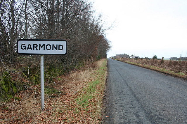
Garmond, Aberdeenshire

Garmond (Scottish Gaelic: Garbh Mhon(adh)) is a linear village in Monquhitter Parish which is located in Aberdeenshire, Scotland. It was founded c.1760...

New Byth

New Byth is a small inland planned village in the Banff and Buchan committee area of Aberdeenshire, Scotland, that lies a few miles northeast of Cuminestown...

Cuminestown

Cuminestown is a village in the Formartine area of Aberdeenshire, Scotland, and sits at the centre of the parish of Monquhitter. It is approximately 6...

Bonnykelly

Bonnykelly is a rural area to the west of the village of New Pitsligo in Aberdeenshire, Scotland. == References ==

Nearby Amenities

Located within 500m of 57.560822,-2.3140441
Power: pole
Lat/Long: 57.5610762/-2.3070806
Power: pole
Lat/Long: 57.5610877/-2.3083574
Power: pole
Lat/Long: 57.5610388/-2.3096824
Power: pole
Lat/Long: 57.5610647/-2.3109591
Power: pole
Lat/Long: 57.5610705/-2.3121661
Power: pole
Lat/Long: 57.5610618/-2.3136199
Power: pole
Lat/Long: 57.5610388/-2.3152721
Power: pole
Lat/Long: 57.561036/-2.3167688
Power: pole
Lat/Long: 57.5610475/-2.318185
Power: pole
Lat/Long: 57.5610014/-2.3197407
Power: pole
Lat/Long: 57.5609525/-2.3211139
Power: pole
Lat/Long: 57.5608518/-2.3224282
Findlay's Muir
Place: locality
Lat/Long: 57.5617585/-2.3119632
Power: pole
Lat/Long: 57.5647794/-2.3115116
Power: pole
Lat/Long: 57.5644456/-2.3128608
Power: pole
Lat/Long: 57.5641766/-2.3139873
Power: pole
Lat/Long: 57.5638594/-2.3150238
Power: pole
Lat/Long: 57.5635643/-2.3160684
Power: pole
Lat/Long: 57.5632617/-2.3171083
Power: pole
Lat/Long: 57.5629492/-2.3181529
Power: pole
Lat/Long: 57.562054/-2.3212867
Power: pole
Lat/Long: 57.5617763/-2.3222407
Power: pole
Lat/Long: 57.5626617/-2.3192176
Power: pole
Lat/Long: 57.5564634/-2.312606
Power: pole
Lat/Long: 57.5623503/-2.320256
Power: pole
Lat/Long: 57.5570399/-2.3129256
Power: pole
Lat/Long: 57.5576789/-2.3127832
Power: pole
Lat/Long: 57.5582381/-2.3125005
The data included in this document is from www.openstreetmap.org. The data is made available under ODbL.

Have you been to Findlay's Muir?

Leave your review of Findlay's Muir below (or comments, questions and feedback).