Morralee Fell

Downs, Moorland in Northumberland

England

Morralee Fell

A69 heading west below Holm Bank The view is from a lay-by on the south side of the road just west of  a bridge apparently named as Little Bridge.
A69 heading west below Holm Bank Credit: Trevor Littlewood

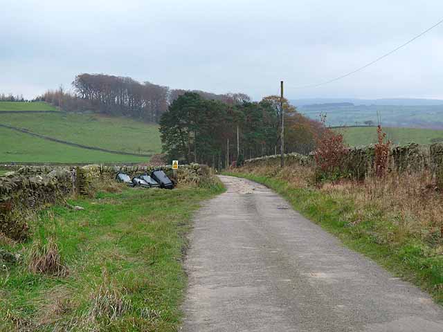
Morralee Fell is a picturesque area located in Northumberland, England. This stunning landscape is characterized by its rolling downs and expansive moorland, making it a popular destination for outdoor enthusiasts and nature lovers.

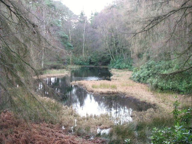
The fell is situated in the northern part of Northumberland, near the border with Scotland. It covers an extensive area, with its highest point reaching an elevation of approximately 500 meters. The terrain is predominantly hilly, covered in heather and grasses, and dotted with rocky outcrops and crags.

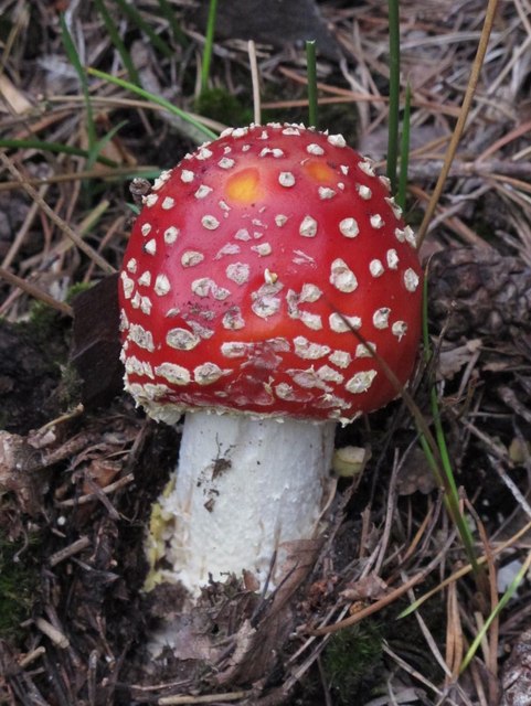
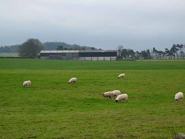
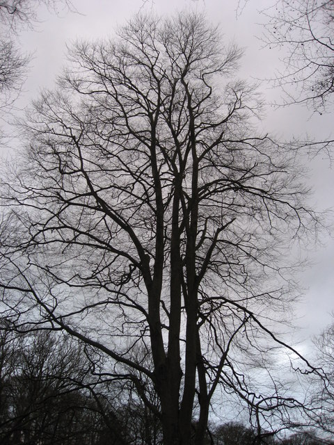
The natural beauty of Morralee Fell is enhanced by its diverse wildlife and plant species. The moorland is home to a variety of birdlife, including red grouse, curlews, and merlins, while the downs provide habitat for an array of wildflowers and insects. The area is also known for its ancient archaeological sites, such as Bronze Age burial mounds and stone circles, adding to its historical significance.

Morralee Fell offers a range of outdoor activities for visitors to enjoy. Hiking and walking trails crisscross the landscape, providing breathtaking views of the surrounding countryside. The fell is also a popular spot for birdwatching, with several designated observation points for enthusiasts to spot rare and native species.

Overall, Morralee Fell is a stunning natural area in Northumberland, offering a unique combination of downs and moorland. Its diverse flora and fauna, along with its rich history, make it a must-visit destination for those seeking to immerse themselves in the beauty of the English countryside.

If you have any feedback on the listing, please let us know in the comments section below.

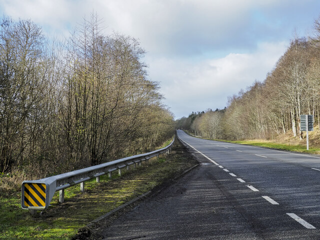
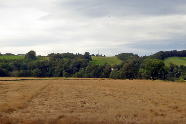
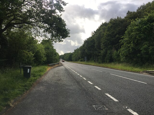
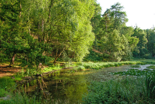
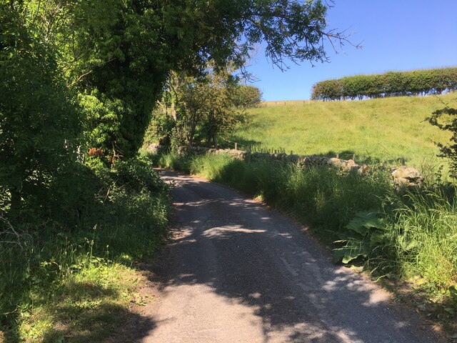
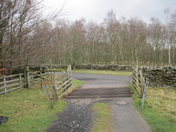
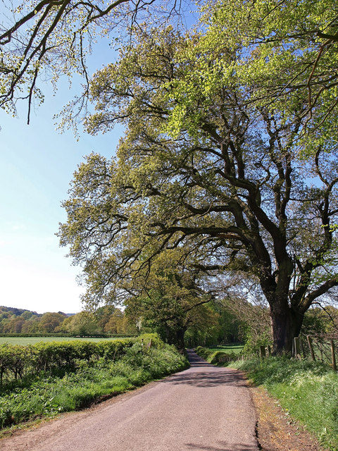
Morralee Fell Images

Images are sourced within 2km of 54.962513/-2.2992513 or Grid Reference NY8063. Thanks to Geograph Open Source API. All images are credited.

A69 heading west below Holm Bank The view is from a lay-by on the south side of the road just west of  a bridge apparently named as Little Bridge.
A69 heading west below Holm Bank
The view is from a lay-by on the south side of the road just west of a bridge apparently named as Little Bridge.
View north from railway The high ground is on the other side of the River South Tyne, the right margin of the near field is its tributary, the River Allen.
View north from railway
The high ground is on the other side of the River South Tyne, the right margin of the near field is its tributary, the River Allen.
Lay-by on the A69 near Holm Bank
Allen Banks : Moralee Tarn "The tarn itself is an historic feature in the landscape, originally dug out as a boating lake by the Victorians, it is now a real oasis and a great place to spot some wildlife, with superb views of the Tyne Valley and Hadrian’s Wall in the distance." - <span class="nowrap"><a title="https://www.nationaltrust.org.uk/allen-banks-and-staward-gorge/trails/allen-banks-woodland-walk" rel="nofollow ugc noopener" href="https://www.nationaltrust.org.uk/allen-banks-and-staward-gorge/trails/allen-banks-woodland-walk">Link</a><img style="margin-left:2px;" alt="External link" title="External link - shift click to open in new window" src="https://s1.geograph.org.uk/img/external.png" width="10" height="10"/></span>.
Allen Banks : Moralee Tarn
"The tarn itself is an historic feature in the landscape, originally dug out as a boating lake by the Victorians, it is now a real oasis and a great place to spot some wildlife, with superb views of the Tyne Valley and Hadrian’s Wall in the distance." - LinkExternal link.
Minor road near Middle Lipwood
Cattle Grid and end of Drive from Harsondale
Near West Morralee Farm Major Beech tree beside minor road.
Near West Morralee Farm
Major Beech tree beside minor road.
Fly agaric (Amanita muscaria) near Morralee Tarn
Farm road to Sillywrea Farm Sillywrea Farm lies behind the nearest shelter belt of trees
Farm road to Sillywrea Farm
Sillywrea Farm lies behind the nearest shelter belt of trees
Looking across the fields to Lough Green Farm
Installing a new electricity transmission line. Near West Deanraw Farm. Subtitled "Dance of the cherry pickers".
Installing a new electricity transmission line.
Near West Deanraw Farm. Subtitled "Dance of the cherry pickers".
Installing a new electricity transmission line. Near Black Byre Plantation.
Installing a new electricity transmission line.
Near Black Byre Plantation.
Installing a new electricity transmission line. The woods of Robbs Dene beyond.
Installing a new electricity transmission line.
The woods of Robbs Dene beyond.
Morralee Tarn in winter For a similar view in summer (2007) see <a href="https://www.geograph.org.uk/photo/527658">NY8063 : Morralee Tarn in high summer</a>.
Morralee Tarn in winter
For a similar view in summer (2007) see NY8063 : Morralee Tarn in high summer.
Morralee Wood in winter
Muddy Byway and Path  above West Land Ends
Muddy Byway and Path above West Land Ends
Sillywrea Farm And West Sillywrea to the left. Farm high above Tynedale.
Sillywrea Farm
And West Sillywrea to the left. Farm high above Tynedale.
House on the road down to Plankey Mill
Show me another place!

Morralee Fell is located at Grid Ref: NY8063 (Lat: 54.962513, Lng: -2.2992513)

Unitary Authority: Northumberland

Police Authority: Northumbria

What 3 Words

///reserving.sounding.constants. Near Bardon Mill, Northumberland

Related Wikis

Allen Banks & Staward Gorge

Allen Banks & Staward Gorge is National Trust property in the English county of Northumberland. It is a Victorian garden in a gorge of the River Allen...

Ridley Hall, Northumberland

Ridley Hall is an 18th-century country house, now a residential and conference centre, at Bardon Mill, Northumberland. It is a Grade II listed building...

River Allen, Northumberland

The River Allen is a river in the English county of Northumberland. The river has its sources in the hills of the Northern Pennines, and is formed by the...

Briarwood Banks

Briarwood Banks is the name given to a woodland Site of Special Scientific Interest (SSSI) in north Northumberland, North East England. Composed mainly...

Langley, Northumberland

Langley or Langley-on-Tyne is a small village in Northumberland, England, located to the west of Hexham. The village is on the A686 about 3 miles (5 km...

A69 road

The A69 is a major northern trunk road in England, running east–west across the Pennines, through the counties of Tyne and Wear, Northumberland and Cumbria...

Beltingham

Beltingham is a small village on the River South Tyne in Northumberland, in England. It is situated 1 mile (2 km) southeast of Bardon Mill and 10 miles...

Staward Peel

Staward Peel, or Staward Pele, is a peel tower located in the National Trust property of Allen Banks & Staward Gorge in Northumberland, England. ��2�...

Nearby Amenities

Located within 500m of 54.962513,-2.2992513
Barrier: stile
Lat/Long: 54.9664007/-2.2953523
Communication Mobile Phone: yes
Man Made: tower
Tower Type: communication
Lat/Long: 54.9617044/-2.2989462
The data included in this document is from www.openstreetmap.org. The data is made available under ODbL.

Have you been to Morralee Fell?

Leave your review of Morralee Fell below (or comments, questions and feedback).