The Tarn
Lake, Pool, Pond, Freshwater Marsh in Northumberland
England
The Tarn
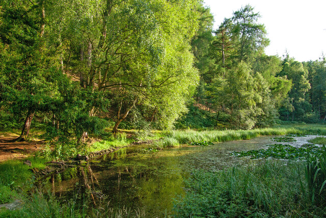
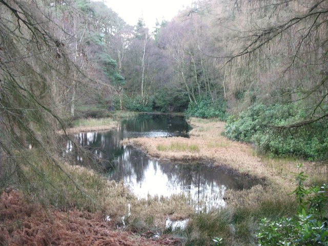
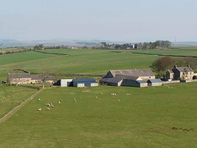
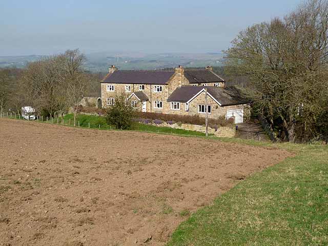
The Tarn, located in Northumberland, is a stunning freshwater marsh that serves as a vital ecological habitat. Stretching across an area of approximately 10 acres, it is surrounded by lush greenery, creating a picturesque landscape. The Tarn is characterized by its tranquil atmosphere, making it a popular destination for nature enthusiasts and visitors seeking a peaceful retreat.
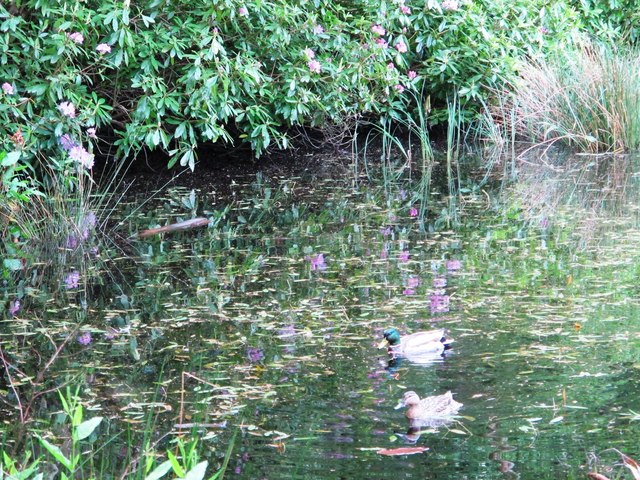
This body of water, often referred to as a lake, pool, or pond, is fed by several small streams and springs that flow into it, ensuring a constant supply of fresh water. The water is crystal clear, allowing for a glimpse into the vibrant underwater world below. The Tarn's depth varies throughout the year, with its deepest points reaching up to 15 feet.
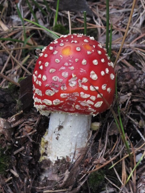
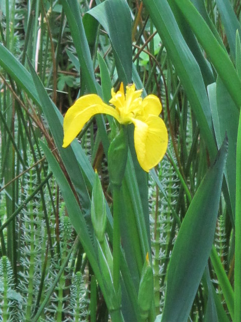
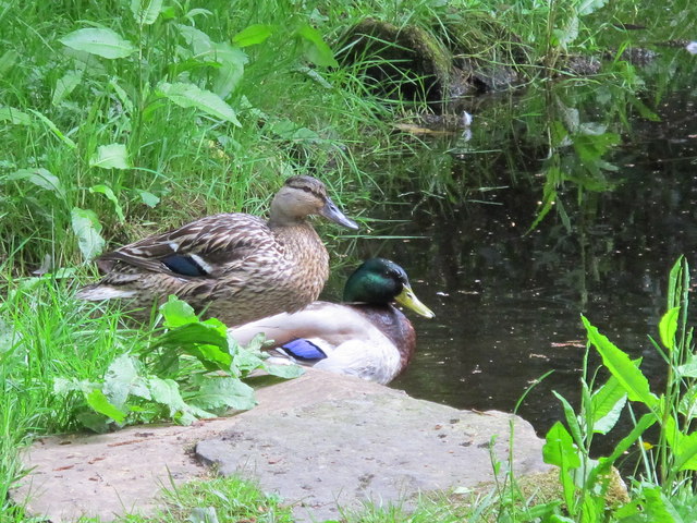
The Tarn is home to a diverse range of flora and fauna. The surrounding marshland supports a rich variety of plant life, including reeds, rushes, and water lilies. These plants provide shelter and food for numerous species of birds, insects, and small mammals that inhabit the area. Birdwatchers are often rewarded with sightings of herons, kingfishers, and various waterfowl.
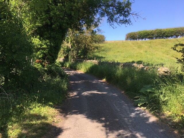
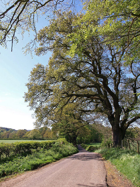
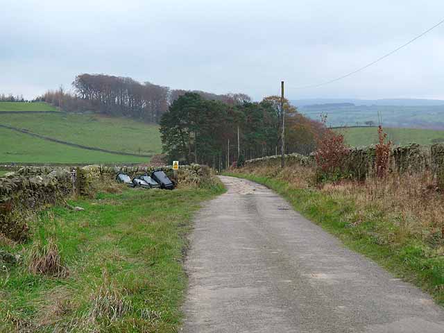
Visitors can explore The Tarn by following the well-maintained walking trails that meander through the marshland. These trails offer breathtaking views of the surrounding countryside and provide opportunities for wildlife spotting. The Tarn is also a popular spot for fishing, with anglers often trying their luck at catching trout and perch.
In conclusion, The Tarn in Northumberland is a natural gem, boasting a diverse ecosystem and offering visitors a serene and scenic environment to appreciate and enjoy the wonders of nature.
If you have any feedback on the listing, please let us know in the comments section below.
The Tarn Images
Images are sourced within 2km of 54.965269/-2.3112045 or Grid Reference NY8063. Thanks to Geograph Open Source API. All images are credited.
The Tarn is located at Grid Ref: NY8063 (Lat: 54.965269, Lng: -2.3112045)
Unitary Authority: Northumberland
Police Authority: Northumbria
What 3 Words
///staple.retraced.suppose. Near Bardon Mill, Northumberland
Nearby Locations
Related Wikis

Allen Banks & Staward Gorge
Allen Banks & Staward Gorge is National Trust property in the English county of Northumberland. It is a Victorian garden in a gorge of the River Allen...

Ridley Hall, Northumberland
Ridley Hall is an 18th-century country house, now a residential and conference centre, at Bardon Mill, Northumberland. It is a Grade II listed building...

River Allen, Northumberland
The River Allen is a river in the English county of Northumberland. The river has its sources in the hills of the Northern Pennines, and is formed by the...

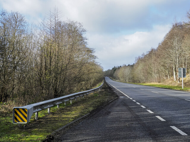
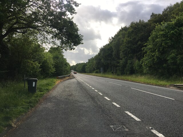
A69 road
The A69 is a major northern trunk road in England, running east–west across the Pennines, through the counties of Tyne and Wear, Northumberland and Cumbria...

Beltingham
Beltingham is a small village on the River South Tyne in Northumberland, in England. It is situated 1 mile (2 km) southeast of Bardon Mill and 10 miles...
Briarwood Banks
Briarwood Banks is the name given to a woodland Site of Special Scientific Interest (SSSI) in north Northumberland, North East England. Composed mainly...
Beltingham River Shingle
Beltingham River Shingle is the name given to a Site of Special Scientific Interest (SSSI) in Northumberland in the north-east of England, notable for...

Bardon Mill
Bardon Mill is a small village in Northumberland, within the vicinity of the ancient Hadrian's Wall. It is located around 10+1⁄2 miles (17 kilometres)...
Nearby Amenities
Located within 500m of 54.965269,-2.3112045Have you been to The Tarn?
Leave your review of The Tarn below (or comments, questions and feedback).