Widdale Fell

Downs, Moorland in Yorkshire Richmondshire

England

Widdale Fell

Ford at Mid Widdale This ford is found at Mid Widdale on the Widdale Beck
Ford at Mid Widdale Credit: John Walton

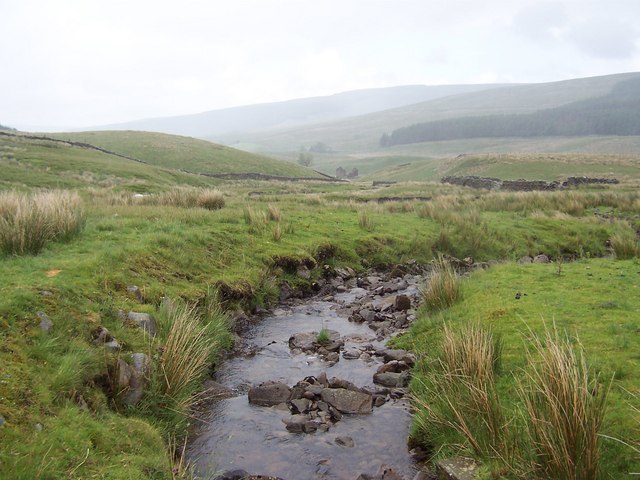
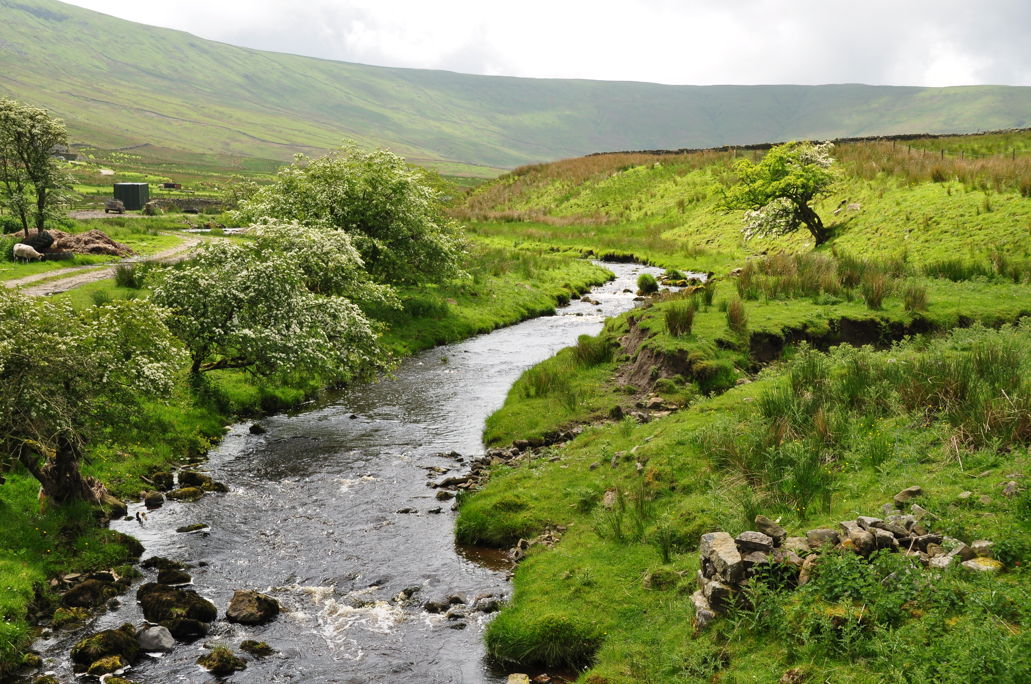
Widdale Fell is a picturesque area located in the Yorkshire Dales, in North Yorkshire, England. With its stunning landscape and diverse terrain, it encompasses both downs and moorland, providing visitors with a unique and captivating experience.

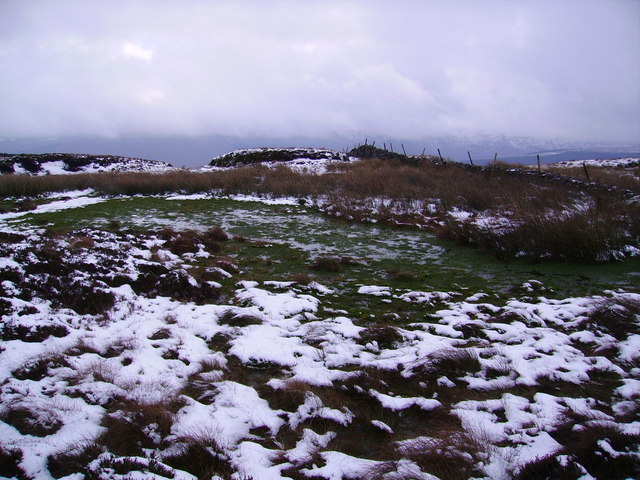
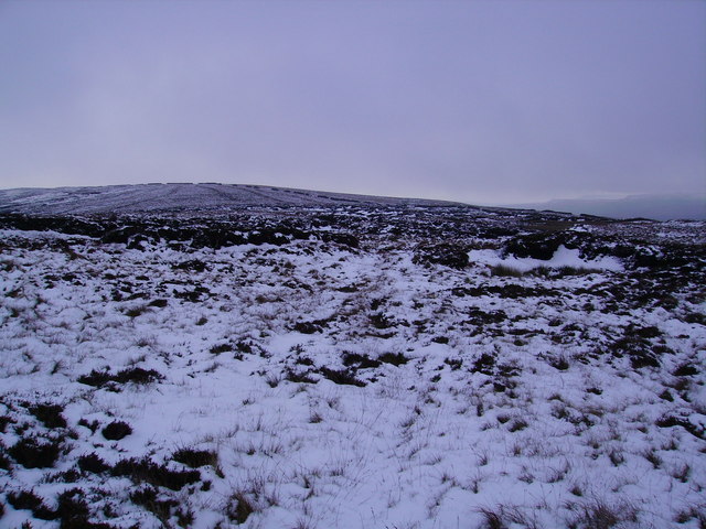
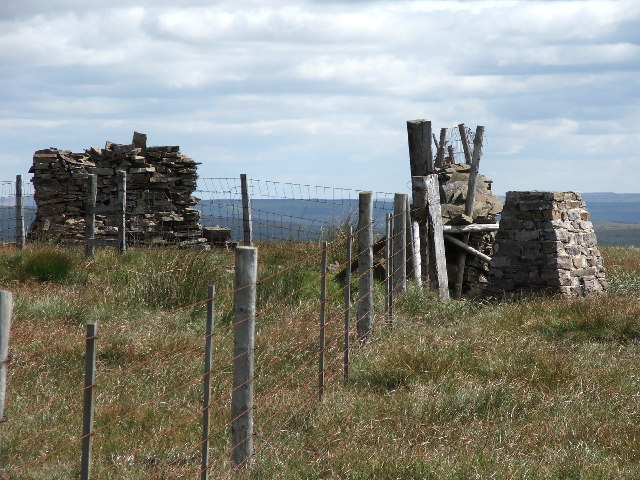
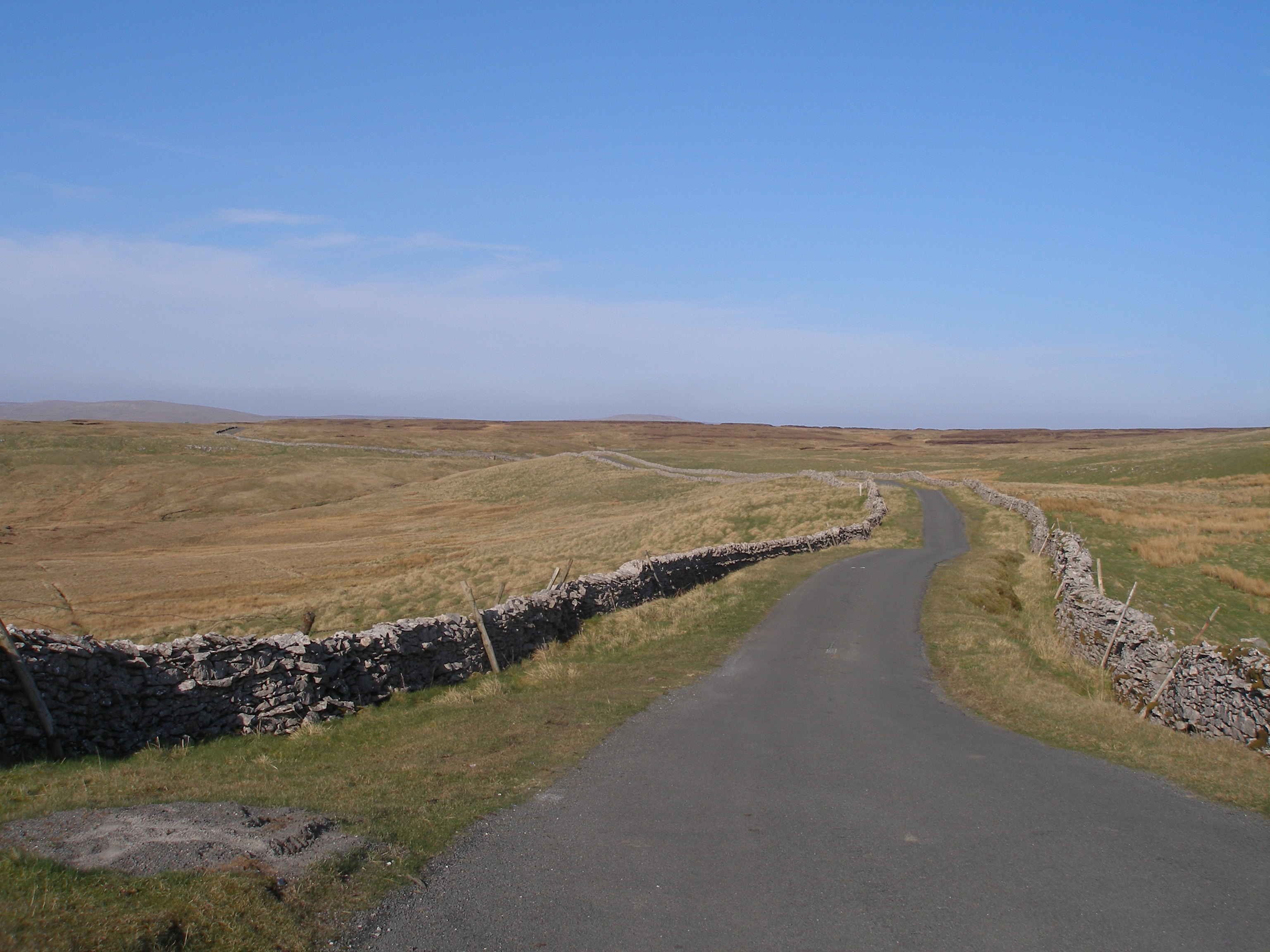
The fell is characterized by its rolling hills and expansive grassy uplands, offering breathtaking panoramic views of the surrounding countryside. These downs are scattered with limestone outcrops, adding a touch of rugged beauty to the area. The moorland, on the other hand, consists of vast open spaces covered in heather, creating a vibrant purple carpet during the summer months.

Widdale Fell is home to an array of wildlife, including various bird species such as curlews, lapwings, and red grouse, which can often be spotted soaring through the skies. Additionally, visitors may catch a glimpse of brown hares darting across the fields or even spot the elusive mountain hare, which camouflages perfectly with its surroundings.

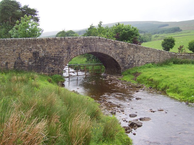
Traversing the area, visitors will discover an extensive network of footpaths and trails that allow for exploration on foot or by bike. These paths meander through the hills and valleys, leading to hidden gems such as secluded tarns and ancient stone circles.

For those seeking a peaceful retreat, Widdale Fell offers a tranquil and remote atmosphere. Away from the hustle and bustle of urban life, it is a place where one can immerse themselves in nature, relishing the solitude and serenity it provides.

Overall, Widdale Fell is a captivating destination that showcases the beauty of Yorkshire's downs and moorland. Whether it be for hiking, wildlife watching, or simply enjoying the stunning scenery, this area offers a truly unforgettable experience.

If you have any feedback on the listing, please let us know in the comments section below.

Widdale Fell Images

Images are sourced within 2km of 54.289542/-2.2950698 or Grid Reference SD8088. Thanks to Geograph Open Source API. All images are credited.

Ford at Mid Widdale This ford is found at Mid Widdale on the Widdale Beck
Ford at Mid Widdale
This ford is found at Mid Widdale on the Widdale Beck
Lings Beck Tumbles off the flanks of Great Knoutberry Fell to help fill the waters of Widdale Beck
Lings Beck
Tumbles off the flanks of Great Knoutberry Fell to help fill the waters of Widdale Beck
Beldie Gill One of the many streams, gills and becks that flow off the heights of Widdale Fell to add to the waters of Widdale Beck
Beldie Gill
One of the many streams, gills and becks that flow off the heights of Widdale Fell to add to the waters of Widdale Beck
Ranley Gill Plantation Large Plantation on the flanks of Widdale Fell. This track passing through is at the foot, running parallel to Widdale Beck
Ranley Gill Plantation
Large Plantation on the flanks of Widdale Fell. This track passing through is at the foot, running parallel to Widdale Beck
Widdale Foot Track beside small wood, running towards a bridge that spans Widdale Beck. The bridge appeared to be not in regular use
Widdale Foot
Track beside small wood, running towards a bridge that spans Widdale Beck. The bridge appeared to be not in regular use
Widdale Bridge Substantial structure that spans Widdale Beck, and gives access from the B6255 Hawes/Ingleton Road to Widdale Foot
Widdale Bridge
Substantial structure that spans Widdale Beck, and gives access from the B6255 Hawes/Ingleton Road to Widdale Foot
Widdale Beck Section of the watercourse between Widdale Foot and Widdale Side
Widdale Beck
Section of the watercourse between Widdale Foot and Widdale Side
Little Scar Moss The old wall makes route finding easy between Great and Little Knoutberry Hills but it's not exactly a stroll.
Little Scar Moss
The old wall makes route finding easy between Great and Little Knoutberry Hills but it's not exactly a stroll.
Old Wall ,Little Knoutberry Hill Looking back towards Ingleborough on the ascent of the hill.
Old Wall ,Little Knoutberry Hill
Looking back towards Ingleborough on the ascent of the hill.
Little Knoutberry Fell The old wall snakes across the top above Widdale Fell. I gave the next grid square a miss today as the soft snow and  pathless rough ground was beginning to irritate somewhat.
Little Knoutberry Fell
The old wall snakes across the top above Widdale Fell. I gave the next grid square a miss today as the soft snow and pathless rough ground was beginning to irritate somewhat.
Grouse Butt, Calf Gill The Gill was dotted with Butts either side. Death row for fleeing Grouse.
Grouse Butt, Calf Gill
The Gill was dotted with Butts either side. Death row for fleeing Grouse.
Wall, Green Scar Looking down the wall which runs down from the ridge under Great Knoutberry Hill. Shot taken from just above Green Scar. Green Scar Pasture and Beldie Gill in view. Plantation at Widdale Foot seen across the main road.
Wall, Green Scar
Looking down the wall which runs down from the ridge under Great Knoutberry Hill. Shot taken from just above Green Scar. Green Scar Pasture and Beldie Gill in view. Plantation at Widdale Foot seen across the main road.
Plantation, Green Scar The snow line was at about 2000'just on the edge of the scar.
Plantation, Green Scar
The snow line was at about 2000'just on the edge of the scar.
Near Little Scar Edge The old broken wall serves as a guide up to Little Knoutberry Hill
Near Little Scar Edge
The old broken wall serves as a guide up to Little Knoutberry Hill
On Widdale Fell Looking southwest. Ingleborough on the skyline.
On Widdale Fell
Looking southwest. Ingleborough on the skyline.
Grouse Butts, Sweet Side The window boxes fixed to the Butts are looking a bit sorry for themselves. Winter flowering Pansies would cheer them up a bit. Sweet Side probably relates to the drier ground here on the edge in contrast to the nearby Black Side which is very soggy.
Grouse Butts, Sweet Side
The window boxes fixed to the Butts are looking a bit sorry for themselves. Winter flowering Pansies would cheer them up a bit. Sweet Side probably relates to the drier ground here on the edge in contrast to the nearby Black Side which is very soggy.
George Mea Rigg Enclosure above Great Gill
George Mea Rigg
Enclosure above Great Gill
Great Gill On Mossdale Moor.
Great Gill
On Mossdale Moor.
Show me another place!

Widdale Fell is located at Grid Ref: SD8088 (Lat: 54.289542, Lng: -2.2950698)

Division: North Riding

Administrative County: North Yorkshire

District: Richmondshire

Police Authority: North Yorkshire

What 3 Words

///interacts.comforted.tweed. Near Sedbergh, Cumbria

Related Wikis

Great Knoutberry Hill

Great Knoutberry Hill, also commonly known as Widdale Fell, is a mountain located near Dent at the heads of Ribblesdale, Dentdale and Wensleydale, in the...

Coal Road

The Coal Road (also known as the Galloway Gate Road) is an unclassified highway which connects the railway stations at Garsdale and Dent in Cumbria, England...

Snaizeholme

Snaizeholme is a small side valley of Wensleydale in the Yorkshire Dales National Park (YDNP), North Yorkshire, England. The valley is noted for its red...

Arten Gill Viaduct

Arten Gill Viaduct is an eleven-arch railway bridge in Dentdale, Cumbria, England. The viaduct carries the Settle to Carlisle railway line over Artengill...

Garsdale railway station

Garsdale is a railway station in Cumbria, England (historically in the West Riding of Yorkshire), on the Settle and Carlisle Line, which runs between Carlisle...

Dandry Mire Viaduct

Dandry Mire Viaduct, (or Dandrymire Viaduct), is a railway viaduct on the Settle & Carlisle line in Cumbria, England. It is just north of Garsdale station...

Rise Hill Tunnel

Rise Hill Tunnel is a 1,213-yard (1,109 m) long tunnel that takes the Settle–Carlisle line beneath Black Moss in Cumbria, England. It is the second longest...

Garsdale Head

Garsdale Head is a hamlet mainly within the South Lakeland district of Cumbria, England. Historically part of the West Riding of Yorkshire, the hamlet...

Nearby Amenities

Located within 500m of 54.289542,-2.2950698
Widdale Fell
Is In County: North Yorkshire
Natural: fell
Source: NPE
Lat/Long: 54.2936178/-2.2942858
The data included in this document is from www.openstreetmap.org. The data is made available under ODbL.

Have you been to Widdale Fell?

Leave your review of Widdale Fell below (or comments, questions and feedback).