Little Scar Moss
Downs, Moorland in Yorkshire Richmondshire
England
Little Scar Moss

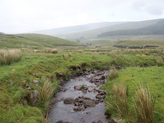
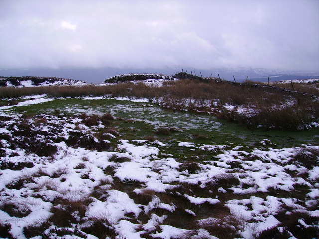
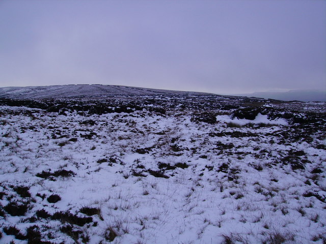
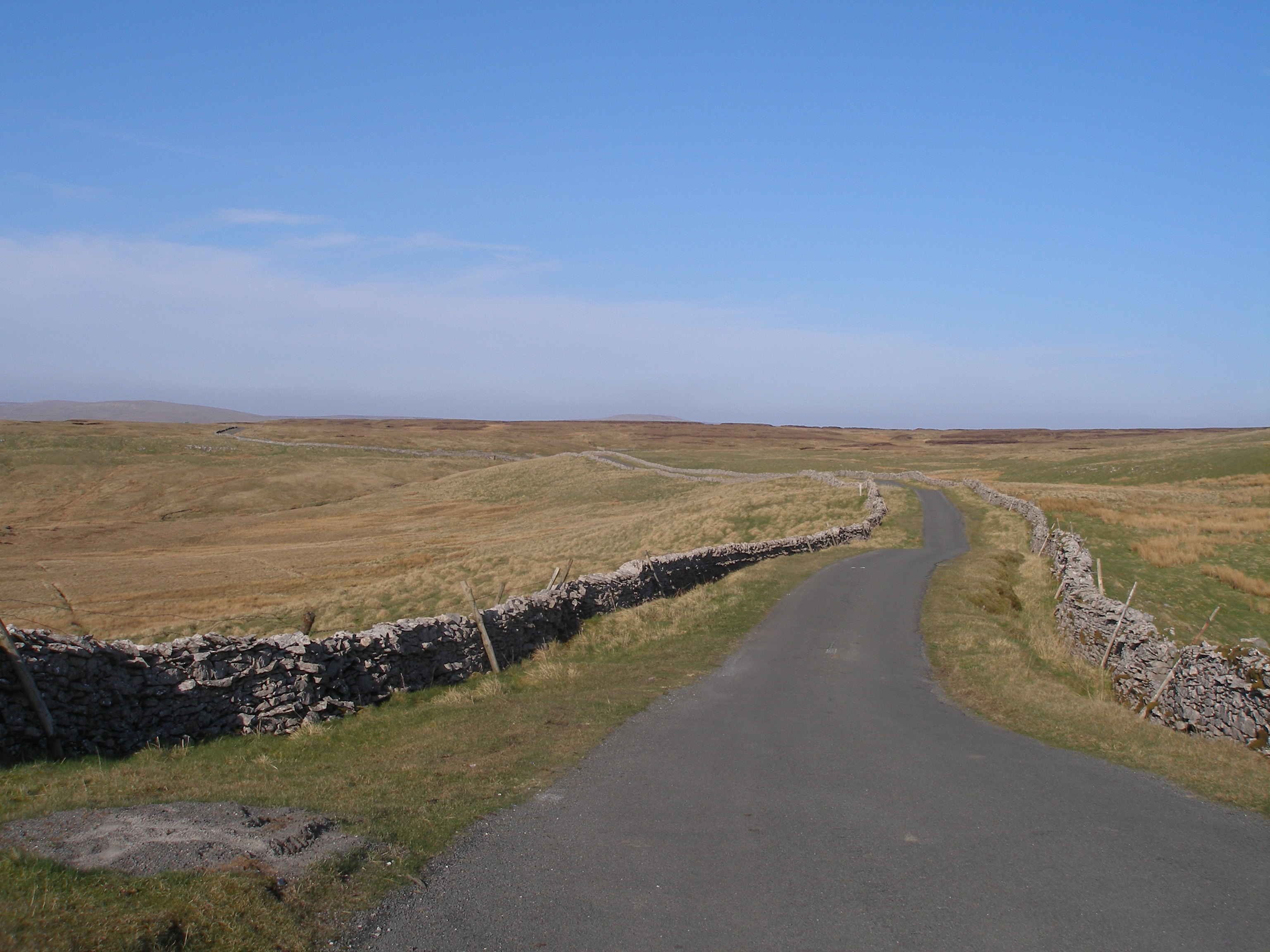
Little Scar Moss is a picturesque and unspoiled area located in the county of Yorkshire, England. Situated within the Yorkshire Downs and Moorland region, it covers an area of approximately 200 acres. This vast expanse of land is characterized by its rolling hills, heather-covered moorlands, and scattered patches of woodland.
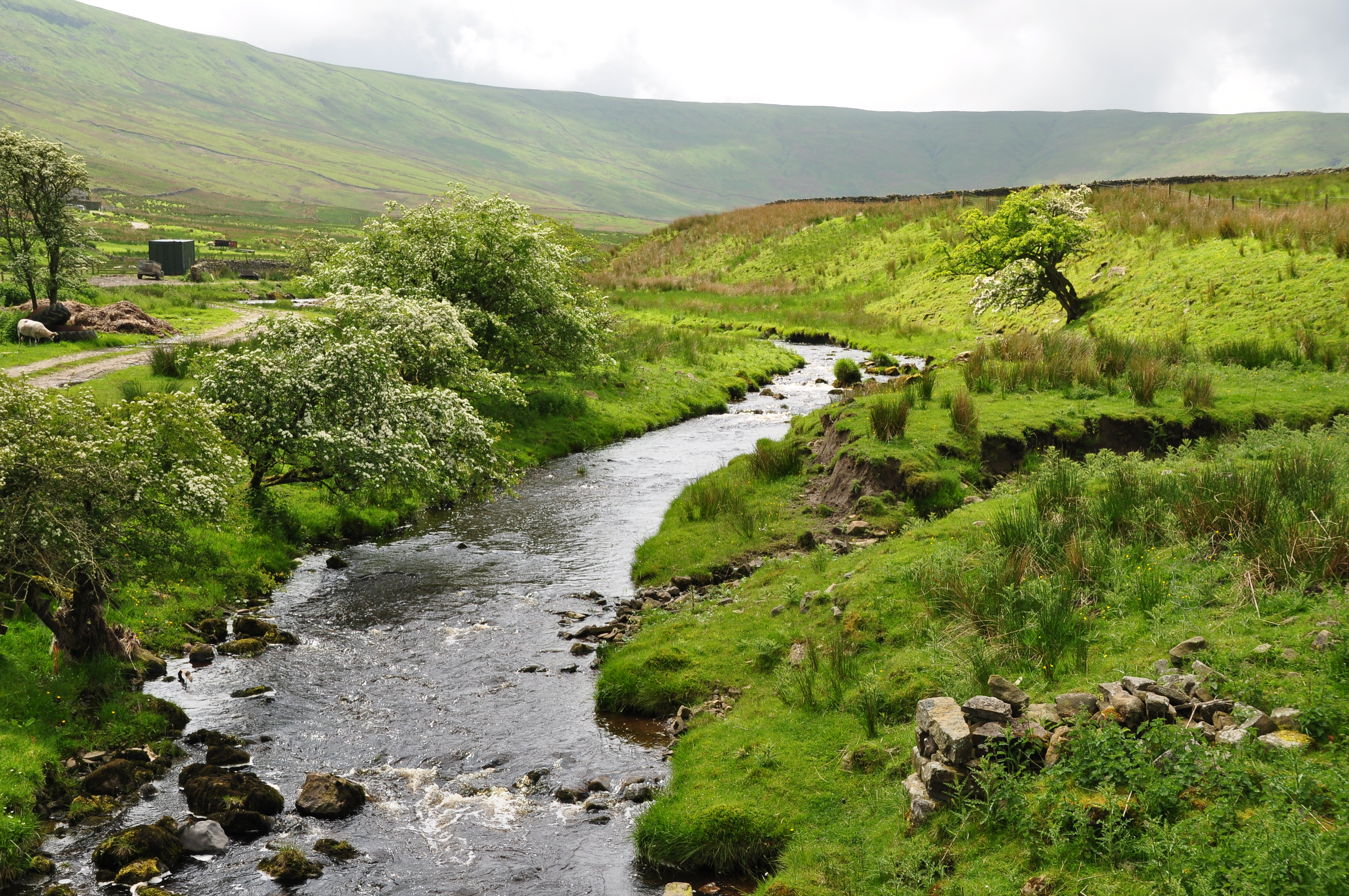
The landscape of Little Scar Moss is predominantly rural, offering a peaceful and tranquil atmosphere for visitors. The area is known for its diverse wildlife, with a variety of bird species, including grouse and curlew, making it a popular spot for birdwatching enthusiasts. The moorlands also provide a habitat for other animals, such as hares, foxes, and deer.
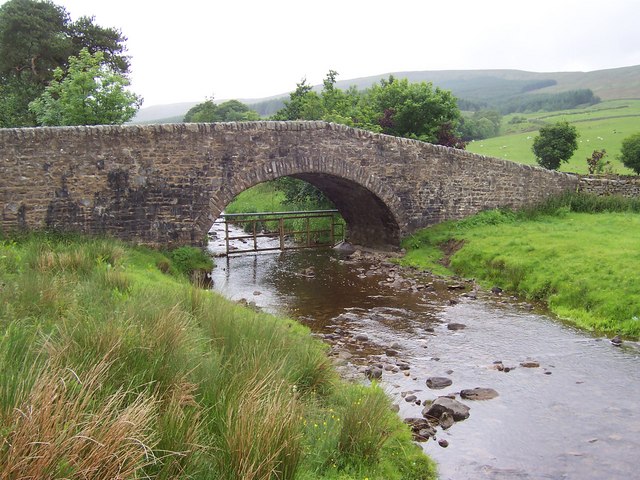
Visitors to Little Scar Moss can enjoy various outdoor activities, including hiking, cycling, and horseback riding. The extensive network of walking trails allows visitors to explore the area's natural beauty and take in breathtaking views of the surrounding countryside. In addition, the nearby streams and rivers offer opportunities for fishing and canoeing.
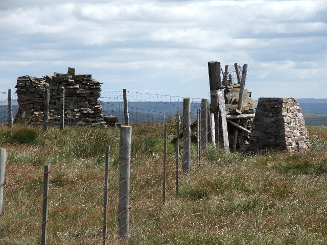
The area is also rich in history, with several ancient landmarks and archaeological sites. The remnants of Bronze Age settlements and stone circles can be found scattered throughout the moorlands, providing glimpses into the region's past.
Little Scar Moss is a hidden gem in Yorkshire, offering visitors a chance to escape the hustle and bustle of city life and immerse themselves in the beauty of nature. Whether it's exploring the moorlands, observing wildlife, or discovering the area's history, there is something for everyone to enjoy in this idyllic corner of Yorkshire.
If you have any feedback on the listing, please let us know in the comments section below.
Little Scar Moss Images
Images are sourced within 2km of 54.291355/-2.2959892 or Grid Reference SD8088. Thanks to Geograph Open Source API. All images are credited.


Little Scar Moss is located at Grid Ref: SD8088 (Lat: 54.291355, Lng: -2.2959892)
Division: North Riding
Administrative County: North Yorkshire
District: Richmondshire
Police Authority: North Yorkshire
What 3 Words
///resort.credited.shirtless. Near Sedbergh, Cumbria
Nearby Locations
Related Wikis
Coal Road
The Coal Road (also known as the Galloway Gate Road) is an unclassified highway which connects the railway stations at Garsdale and Dent in Cumbria, England...
Great Knoutberry Hill
Great Knoutberry Hill, also commonly known as Widdale Fell, is a mountain located near Dent at the heads of Ribblesdale, Dentdale and Wensleydale, in the...
Snaizeholme
Snaizeholme is a small side valley of Wensleydale in the Yorkshire Dales National Park (YDNP), North Yorkshire, England. The valley is noted for its red...

Garsdale railway station
Garsdale is a railway station in Cumbria, England (historically in the West Riding of Yorkshire), on the Settle and Carlisle Line, which runs between Carlisle...

Dandry Mire Viaduct
Dandry Mire Viaduct, (or Dandrymire Viaduct), is a railway viaduct on the Settle & Carlisle line in Cumbria, England. It is just north of Garsdale station...

Arten Gill Viaduct
Arten Gill Viaduct is an eleven-arch railway bridge in Dentdale, Cumbria, England. The viaduct carries the Settle to Carlisle railway line over Artengill...

Garsdale Head
Garsdale Head is a hamlet mainly within the South Lakeland district of Cumbria, England. Historically part of the West Riding of Yorkshire, the hamlet...

Rise Hill Tunnel
Rise Hill Tunnel is a 1,213-yard (1,109 m) long tunnel that takes the Settle–Carlisle line beneath Black Moss in Cumbria, England. It is the second longest...
Nearby Amenities
Located within 500m of 54.291355,-2.2959892Have you been to Little Scar Moss?
Leave your review of Little Scar Moss below (or comments, questions and feedback).