Kermincham Heath
Downs, Moorland in Cheshire
England
Kermincham Heath
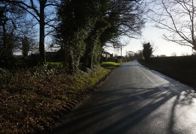
Kermincham Heath, located in Cheshire, is a sprawling expanse of downs and moorland that offers a unique blend of natural beauty and biodiversity. Covering an area of approximately 500 acres, it is a designated Site of Special Scientific Interest (SSSI) due to its rich wildlife and geological features.
The heath is characterized by its undulating terrain, with vast stretches of open grassland and heather moorland interspersed with pockets of woodland. The area is home to a plethora of plant species, including heather, gorse, bilberry, and cotton grass, which collectively create a stunning tapestry of colors throughout the year.
Additionally, Kermincham Heath boasts a diverse range of animal species. Birdwatchers can spot various species such as skylarks, meadow pipits, and stonechats, while kestrels and buzzards can be seen soaring above the heath. The area is also known for its reptiles, with common lizards and adders often spotted basking in the sunshine.
Geologically, the heath is composed of sandstone and shale, displaying unique rock formations and outcrops. Visitors can explore the fascinating geological features, including exposed sandstone ridges and cliffs.
Kermincham Heath provides an ideal habitat for a wide range of wildlife, offering opportunities for nature enthusiasts and photographers to observe and capture the beauty of the area. With its tranquil atmosphere and stunning vistas, it is a popular destination for walking, picnicking, and wildlife spotting.
If you have any feedback on the listing, please let us know in the comments section below.
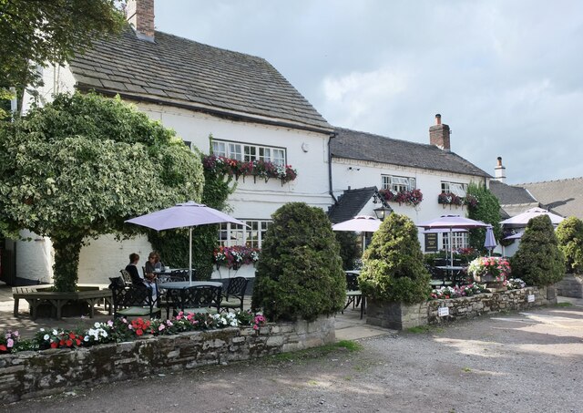
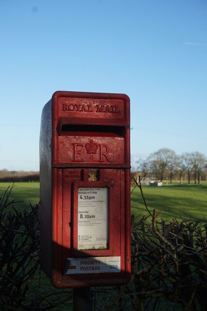
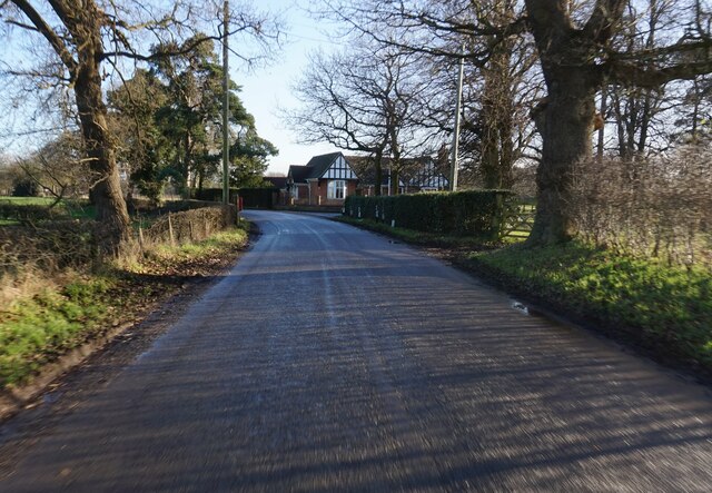
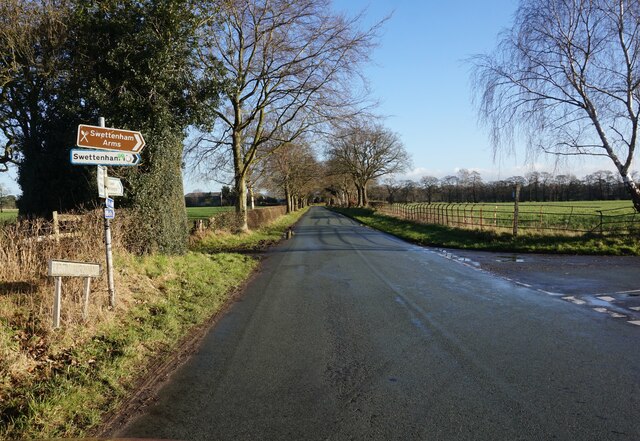
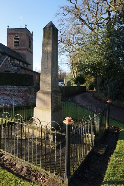
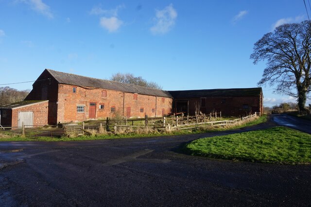
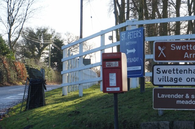
Kermincham Heath Images
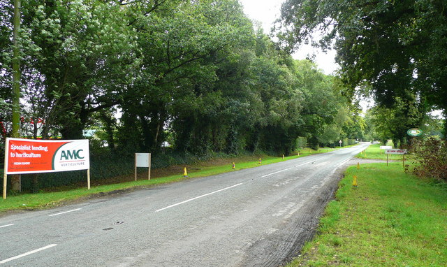
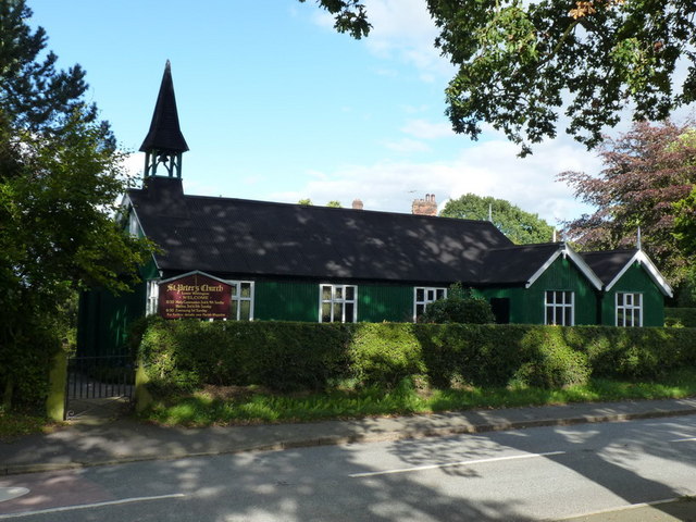
Images are sourced within 2km of 53.211361/-2.2983095 or Grid Reference SJ8068. Thanks to Geograph Open Source API. All images are credited.
Kermincham Heath is located at Grid Ref: SJ8068 (Lat: 53.211361, Lng: -2.2983095)
Unitary Authority: Cheshire East
Police Authority: Cheshire
What 3 Words
///originals.seatbelt.crabmeat. Near Goostrey, Cheshire
Nearby Locations
Related Wikis

Swettenham Meadows Nature Reserve
Swettenham Meadows is a nature reserve in Cheshire, England, on the north bank of Swettenham Brook, a short distance north east of Swettenham village and...

Swettenham
Swettenham is a village and civil parish in the unitary authority of Cheshire East and the ceremonial county of Cheshire, England. According to the 2001...
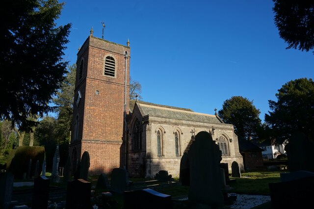
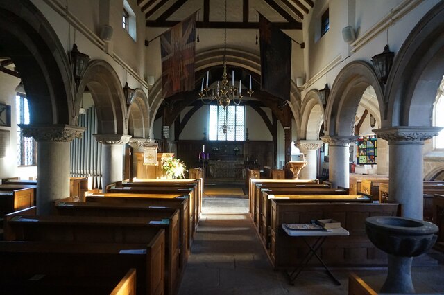
St Peter's Church, Swettenham
St Peter's Church is in the village of Swettenham, Cheshire, England. The church is recorded in the National Heritage List for England as a designated...
Jodrell Hall
Jodrell Hall is a country house near Jodrell Bank in the parish of Twemlow, in the county of Cheshire, England. Requisitioned during World War II, the...
Nearby Amenities
Located within 500m of 53.211361,-2.2983095Have you been to Kermincham Heath?
Leave your review of Kermincham Heath below (or comments, questions and feedback).