Downham Moor

Downs, Moorland in Lancashire Ribble Valley

England

Downham Moor

Erosion control below the summit of Pendle The western flank of the hill is on a much gentler gradient than the eastern escarpment, leading to boggier ground. The geotextiles, and small wooden dams across the peat grough, are aimed to reduce erosion.
Erosion control below the summit of Pendle Credit: Stephen Craven

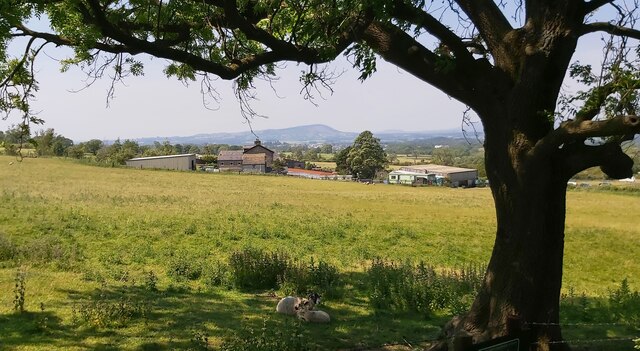
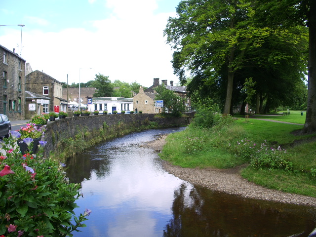
Downham Moor is a picturesque area located in Lancashire, England. It is characterized by its rolling hills, open fields, and expansive moorland. The landscape is dotted with small farms and quaint villages, creating a peaceful and rural atmosphere.

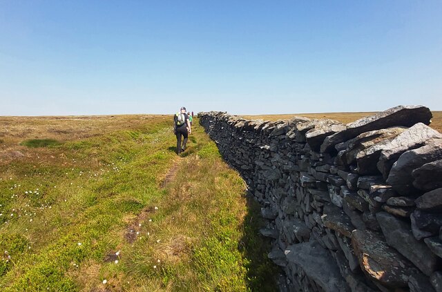
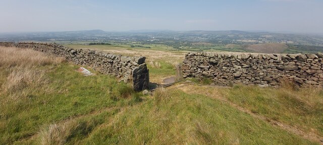
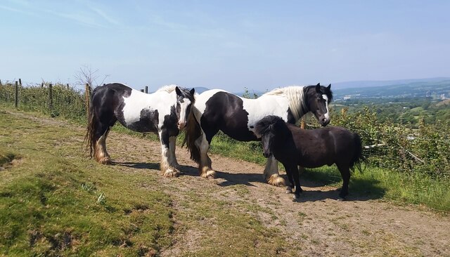
The area is popular with hikers and nature enthusiasts, offering a variety of walking trails and stunning views of the surrounding countryside. Downham Moor is also home to a diverse range of wildlife, including birds of prey, deer, and other native species.

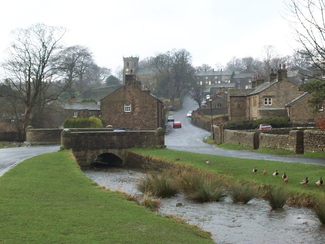
The village of Downham is a charming and historic settlement that dates back to medieval times. It is known for its well-preserved stone cottages, ancient church, and traditional pubs. Visitors can explore the village's winding streets and admire its historic architecture.

Overall, Downham Moor offers a tranquil escape from the hustle and bustle of everyday life. Whether you are looking to explore the great outdoors, soak up the local history, or simply relax in a peaceful setting, this area has something to offer everyone.

If you have any feedback on the listing, please let us know in the comments section below.
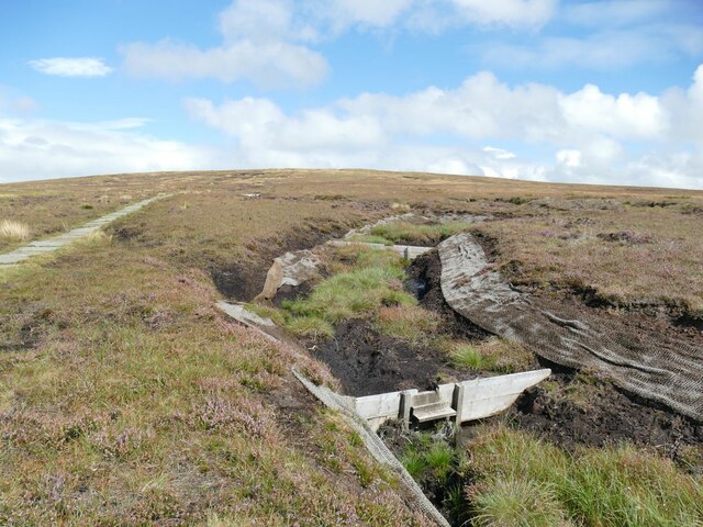
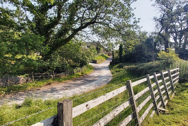
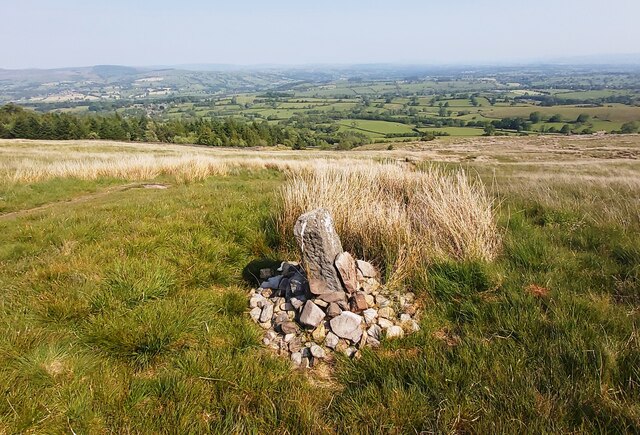
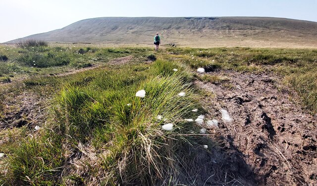
Downham Moor Images

Images are sourced within 2km of 53.879162/-2.3086897 or Grid Reference SD7942. Thanks to Geograph Open Source API. All images are credited.

Erosion control below the summit of Pendle The western flank of the hill is on a much gentler gradient than the eastern escarpment, leading to boggier ground. The geotextiles, and small wooden dams across the peat grough, are aimed to reduce erosion.
Erosion control below the summit of Pendle
The western flank of the hill is on a much gentler gradient than the eastern escarpment, leading to boggier ground. The geotextiles, and small wooden dams across the peat grough, are aimed to reduce erosion.
Direction marker in Ogden Clough A footpath follows the western side of the clough up to this point, then turns east-north-east towards the summit. In a very dry summer, crossing the stream was trivial, but it may not be so easy in wet weather. The clough also forms the borough boundary between Pendle (right) and Ribble Valley (left).
Direction marker in Ogden Clough
A footpath follows the western side of the clough up to this point, then turns east-north-east towards the summit. In a very dry summer, crossing the stream was trivial, but it may not be so easy in wet weather. The clough also forms the borough boundary between Pendle (right) and Ribble Valley (left).
Downham, Ribble Valley Bridge over the village stream, with Pendle Hill in the distance
Downham, Ribble Valley
Bridge over the village stream, with Pendle Hill in the distance
Footpath by Downham Beck
Farm Track Crosses the Beck East of Downham
The Lane to Clay House
Lane Head Barn
Lane Head Barn
Way Marker Stones on lower slopes of Pendle Hill
Footpath on Downham Moor
The Stream in Ogden Clough
Shelter on Pendle Hill Circular Enclosed Seating Area - (perfect for a sandwich stop)
Shelter on Pendle Hill
Circular Enclosed Seating Area - (perfect for a sandwich stop)
Dry Stone Wall on Pendle Hill
Scout Cairn - Pendle Hill Dedications and Memorial to Local Scouting Movement
Scout Cairn - Pendle Hill
Dedications and Memorial to Local Scouting Movement
Footpath on Pendle Hill above Little Mearley Wood
Open Gateway near a Sheepfold on Worsten Moor
Old Gatepost marked "R.B. 1756"
Horses near Angram Green Farm
Angram Green Farm
Angram Green Farm
Show me another place!

Downham Moor is located at Grid Ref: SD7942 (Lat: 53.879162, Lng: -2.3086897)

Administrative County: Lancashire

District: Ribble Valley

Police Authority: Lancashire

What 3 Words

///upward.fashion.crawler. Near Chatburn, Lancashire

Nearby Locations

Downham Moor

Related Wikis

Pendle Hill

Pendle Hill is in the east of Lancashire, England, near the towns of Burnley, Nelson, Colne, Brierfield, Clitheroe and Padiham. Its summit is 557 metres...

Pendle Water

Pendle Water is a minor river in Lancashire, England. Rising on Pendle Hill, Pendle Water cuts a deep valley between Barley Moor and Spence Hill, where...

Downham, Lancashire

Downham is a village and civil parish in Lancashire, England. It is in the Ribble Valley district and at the United Kingdom 2001 census had a population...

Twiston

Twiston is a village and a civil parish in the Ribble Valley District, in the English county of Lancashire. It is near the town of Clitheroe and the village...

Nearby Amenities

Located within 500m of 53.879162,-2.3086897
Barrier: stile
Ele: 295.7290039
Lat/Long: 53.8825713/-2.3070552
Downham Moor
Place: locality
Source: OS 1:25k
Lat/Long: 53.8755821/-2.3106469
Ford: yes
Lat/Long: 53.8823941/-2.3069829
The data included in this document is from www.openstreetmap.org. The data is made available under ODbL.

Have you been to Downham Moor?

Leave your review of Downham Moor below (or comments, questions and feedback).