Blackburn Moss
Downs, Moorland in Kincardineshire
Scotland
Blackburn Moss
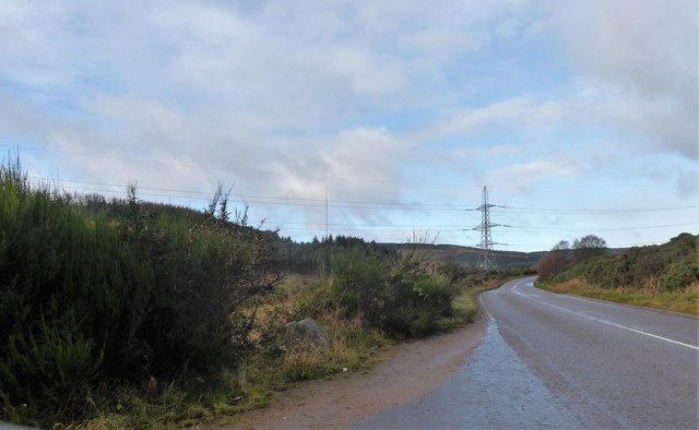
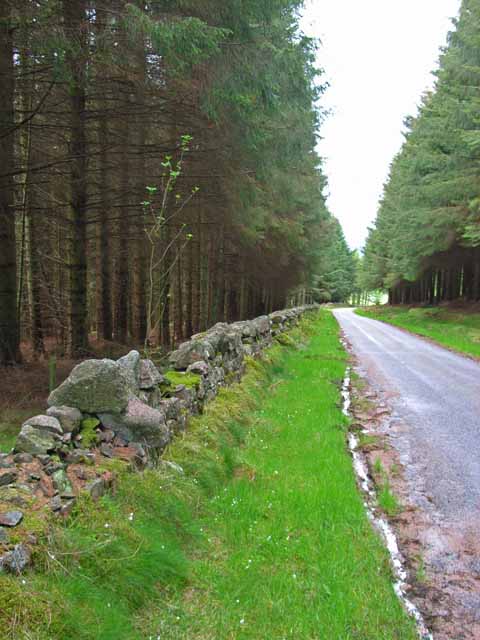
Blackburn Moss, located in Kincardineshire, Scotland, is a vast expanse of downs and moorland that offers a unique and diverse natural environment. Covering an area of approximately 200 hectares, it is a designated Site of Special Scientific Interest (SSSI) due to its exceptional ecological value.
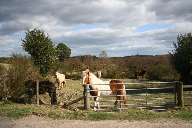
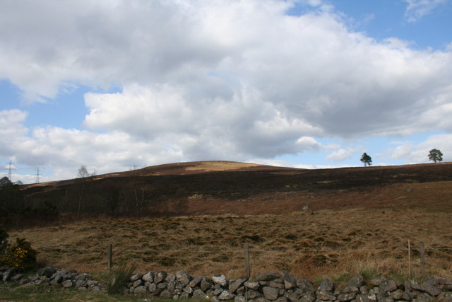
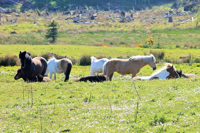
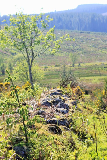
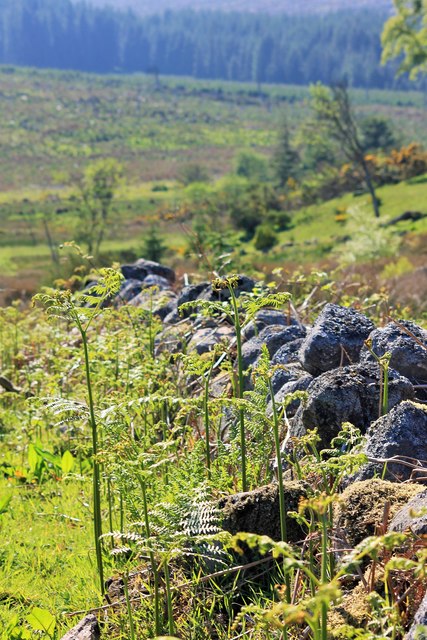
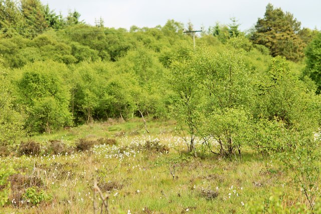
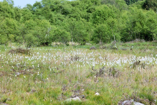
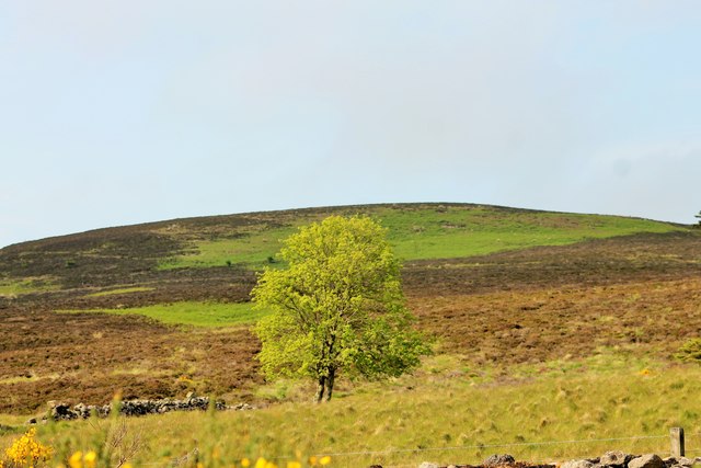
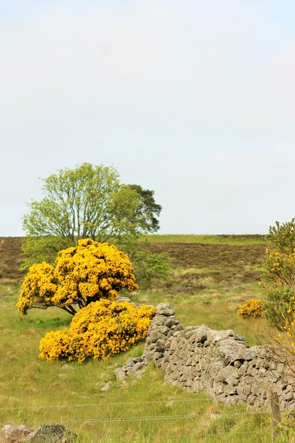
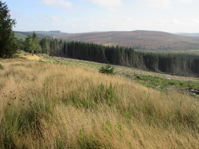
The terrain of Blackburn Moss is characterized by undulating downs and rolling moorland, adorned with patches of heather, grasses, and mosses. The area is known for its rich biodiversity, supporting a wide range of plant and animal species. Visitors to the site can expect to encounter an array of bird species, including curlews, lapwings, and skylarks, as well as mammals such as stoats, hares, and voles.
The moss itself is a significant feature of Blackburn Moss, as it provides a crucial habitat for rare and specialized plants. Sphagnum moss, in particular, thrives in this environment, contributing to the formation of peat. This peat acts as a natural carbon sink, aiding in the mitigation of climate change.
In addition to its ecological value, Blackburn Moss also holds historical significance. The area has evidence of prehistoric settlements, with archaeological remains such as stone circles and burial mounds found within its boundaries.
Blackburn Moss is a cherished natural haven for both locals and nature enthusiasts. Its unspoiled beauty and ecological importance make it a valuable landscape that warrants preservation and conservation efforts.
If you have any feedback on the listing, please let us know in the comments section below.
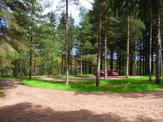
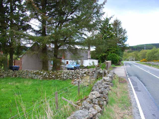
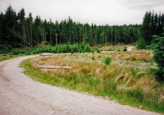
Blackburn Moss Images
Images are sourced within 2km of 57.00868/-2.3452996 or Grid Reference NO7990. Thanks to Geograph Open Source API. All images are credited.


Blackburn Moss is located at Grid Ref: NO7990 (Lat: 57.00868, Lng: -2.3452996)
Unitary Authority: Aberdeenshire
Police Authority: North East
What 3 Words
///rainwater.pioneered.handlebar. Near Stonehaven, Aberdeenshire
Nearby Locations
Related Wikis
Cairn Mon Earn
Cairn Mon Earn or Cairn-mon-earn is a hill in Aberdeenshire, Scotland. == Location == Cairn Mon Earn (OS: Cairn-mon-earn) lies within the Durris Forest...
Durris Forest
Durris Forest is a chiefly coniferous forest south of the River Dee approximately three kilometres west of Netherley in Aberdeenshire, Scotland. The A957...
Mergie
Mergie is a settlement in Aberdeenshire approximately six miles west of Stonehaven, Scotland. Situated in the former Kincardineshire slightly south of...
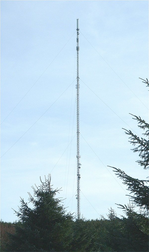
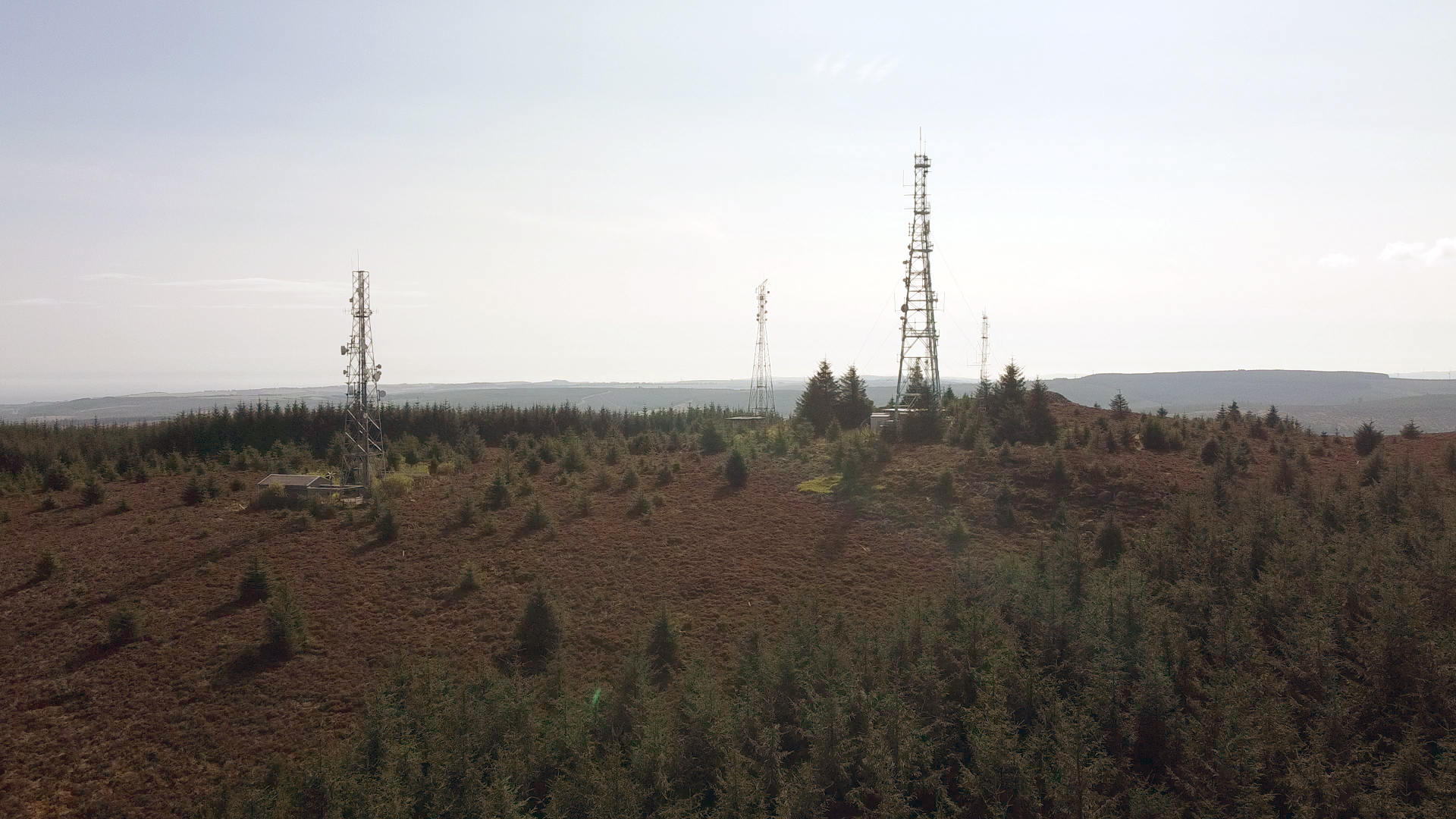
Durris transmitting station
The Durris transmitting station is a broadcasting and telecommunications facility, situated close to the town of Stonehaven, within Durris Forest, within...
Nearby Amenities
Located within 500m of 57.00868,-2.3452996Have you been to Blackburn Moss?
Leave your review of Blackburn Moss below (or comments, questions and feedback).