Cowgill Wold

Downs, Moorland in Yorkshire Richmondshire

England

Cowgill Wold

Minor road descending towards Garsdale The winding, undulating road crosses high moorland north-west of Widdale Fell. As it rises from Garsdale it also acts for over four kilometres as the route of the long distance trail, 'Pennine Bridleway'.
Minor road descending towards Garsdale Credit: Trevor Littlewood

The requested URL returned error: 429 Too Many Requests

If you have any feedback on the listing, please let us know in the comments section below.
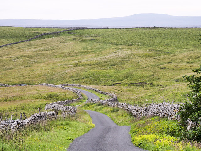
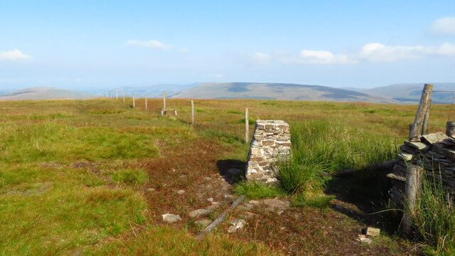
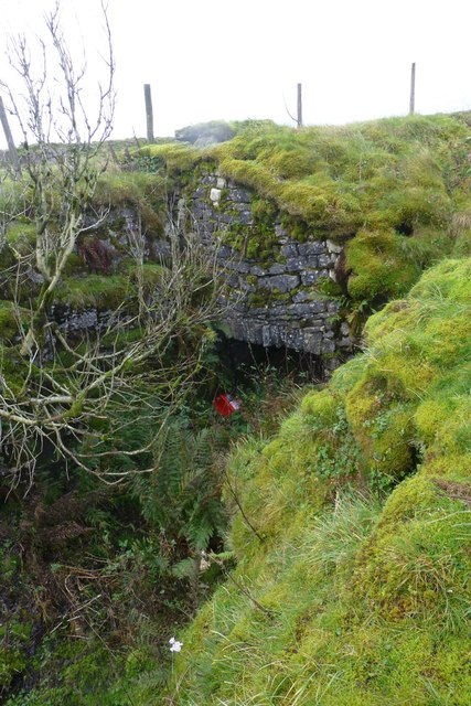
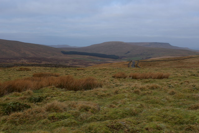
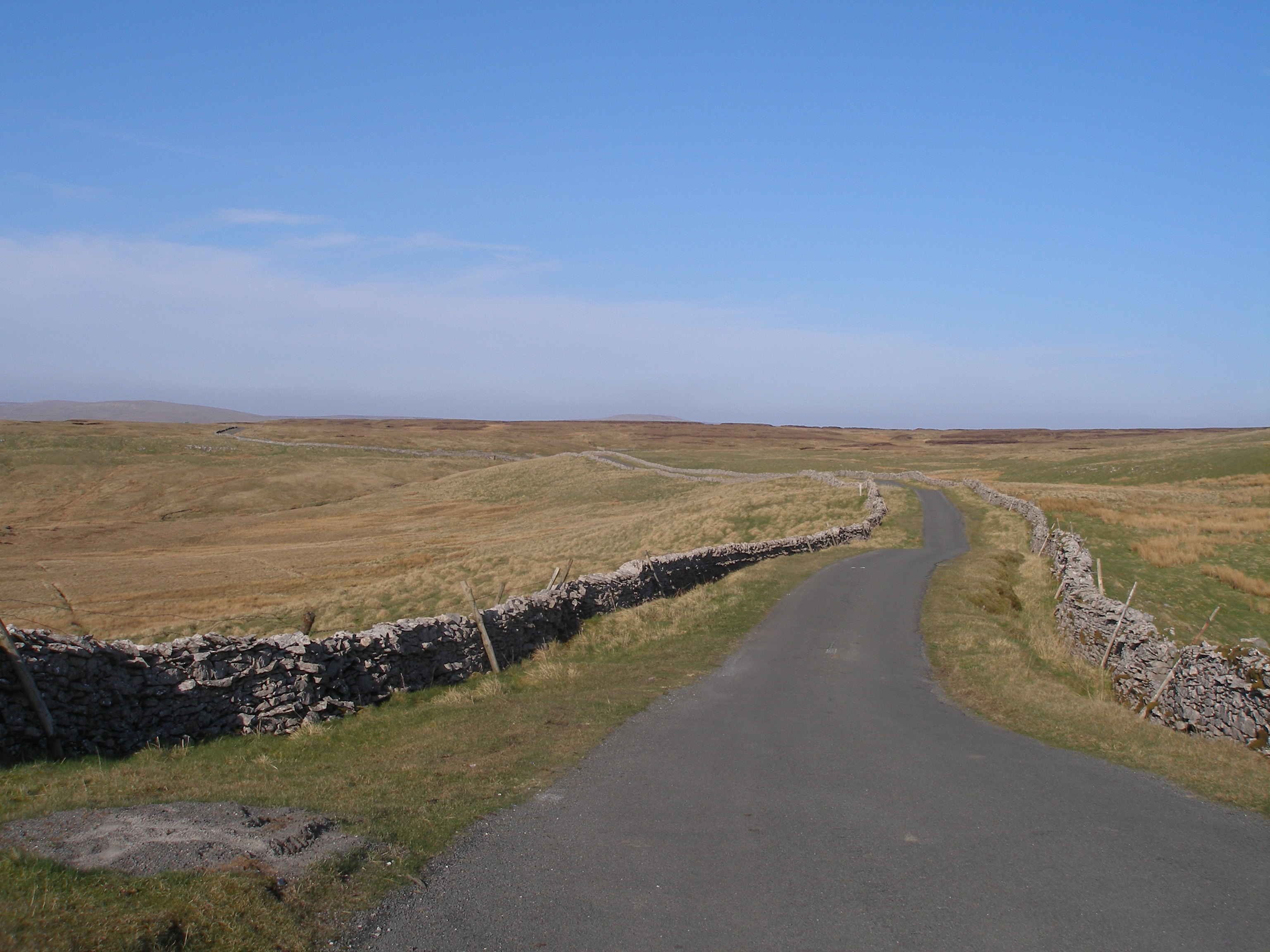
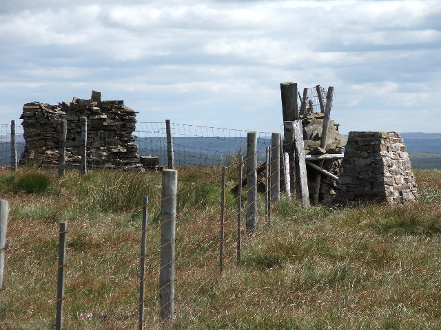
Cowgill Wold Images

Images are sourced within 2km of 54.293714/-2.3222318 or Grid Reference SD7988. Thanks to Geograph Open Source API. All images are credited.

Minor road descending towards Garsdale The winding, undulating road crosses high moorland north-west of Widdale Fell. As it rises from Garsdale it also acts for over four kilometres as the route of the long distance trail, 'Pennine Bridleway'.
Minor road descending towards Garsdale
The winding, undulating road crosses high moorland north-west of Widdale Fell. As it rises from Garsdale it also acts for over four kilometres as the route of the long distance trail, 'Pennine Bridleway'.
Trig Point on Great Knoutberry Hill
Minor road on west side of Widdale Fell The road appears to be known as Galloway Gate; it rises out of Cowgill in Dentdale and descends in the direction in view, to Garsdale.
Minor road on west side of Widdale Fell
The road appears to be known as Galloway Gate; it rises out of Cowgill in Dentdale and descends in the direction in view, to Garsdale.
Pennine Bridleway heading north The rough road in the foreground is in the vicinity of Monkeybeck Grains; it's part of the Pennine Bridleway. The route continues to meet and then join the minor public road in the distance.
Pennine Bridleway heading north
The rough road in the foreground is in the vicinity of Monkeybeck Grains; it's part of the Pennine Bridleway. The route continues to meet and then join the minor public road in the distance.
Blea Grin Gill Blea Grin Gill rises on the northern side of Great Knoutberry Hill where it forms from the merging of a number of minor tributaries. The view here is from  a minor, public road. 
Baugh Fell is the large upland in the distance.
Blea Grin Gill
Blea Grin Gill rises on the northern side of Great Knoutberry Hill where it forms from the merging of a number of minor tributaries. The view here is from a minor, public road. Baugh Fell is the large upland in the distance.
Sheep beside high moorland road The road connects Cowgill in Dent Dale with Garsdale and at this location the sheep are close to its highest point, above 530 metres.
Sheep beside high moorland road
The road connects Cowgill in Dent Dale with Garsdale and at this location the sheep are close to its highest point, above 530 metres.
Minor road on west side of Great Widdale Fell The road, known possibly as Galloway Gate connects Cowgill in Dentdale with Garsdale; here, it's heading south towards Cowgill.
Whernside is the hill in the distance.
Minor road on west side of Great Widdale Fell
The road, known possibly as Galloway Gate connects Cowgill in Dentdale with Garsdale; here, it's heading south towards Cowgill. Whernside is the hill in the distance.
The Galloway Gate road Also known as the Pennine Bridleway.
The Galloway Gate road
Also known as the Pennine Bridleway.
Boulders on Pikes Edge Dropping down off Great Knoutberry Hill.
Boulders on Pikes Edge
Dropping down off Great Knoutberry Hill.
The trig point on Great Knoutberry Hill
Dry stone wall beside the Coal Road on Garsdale Common There is an Ordnance Survey cut mark benchmark <a href="https://www.geograph.org.uk/photo/1914770">SD7890 : Benchmark on Coal Road wall</a> on a base stone in the wall
Dry stone wall beside the Coal Road on Garsdale Common
There is an Ordnance Survey cut mark benchmark SD7890 : Benchmark on Coal Road wall on a base stone in the wall
Coal Road towards Garsdale Head at Hugh's Moss There is an OS benchmark <a href="https://www.geograph.org.uk/photo/1916627">SD7890 : Benchmark at Hugh's Moss</a> on a stone at the base of the right hand side dry stone wall
Coal Road towards Garsdale Head at Hugh's Moss
There is an OS benchmark SD7890 : Benchmark at Hugh's Moss on a stone at the base of the right hand side dry stone wall
Coal Road NE of Limekiln Quarry
Dry stone wall beside Coal Road SW of Limekiln Quarry There is an inverted OS benchmark <a href="https://www.geograph.org.uk/photo/1916808">SD7890 : Inverted benchmark on Coal Road wall</a> on a stone in the left hand wall about 2ft right of the left hand fence post
Dry stone wall beside Coal Road SW of Limekiln Quarry
There is an inverted OS benchmark SD7890 : Inverted benchmark on Coal Road wall on a stone in the left hand wall about 2ft right of the left hand fence post
The Coal Road on Hugh Moss Just north of the valley leading to Cote Gill
The Coal Road on Hugh Moss
Just north of the valley leading to Cote Gill
Derelict lime kiln There are coal pits and limestone in the vicinity - convenient for a lime kiln.
Derelict lime kiln
There are coal pits and limestone in the vicinity - convenient for a lime kiln.
View over Garsdale As seen from Coal Road
View over Garsdale
As seen from Coal Road
View Northwards over Garsdale Common View looks over Coal Road descending towards Garsdale Station with Swarth and Wild Boar Fells in the distance
View Northwards over Garsdale Common
View looks over Coal Road descending towards Garsdale Station with Swarth and Wild Boar Fells in the distance
Show me another place!

Cowgill Wold is located at Grid Ref: SD7988 (Lat: 54.293714, Lng: -2.3222318)

Division: North Riding

Administrative County: North Yorkshire

District: Richmondshire

Police Authority: North Yorkshire

What 3 Words

///spans.heightens.footpath. Near Sedbergh, Cumbria

Related Wikis

Coal Road

The Coal Road (also known as the Galloway Gate Road) is an unclassified highway which connects the railway stations at Garsdale and Dent in Cumbria, England...

Great Knoutberry Hill

Great Knoutberry Hill, also commonly known as Widdale Fell, is a mountain located near Dent at the heads of Ribblesdale, Dentdale and Wensleydale, in the...

Rise Hill Tunnel

Rise Hill Tunnel is a 1,213-yard (1,109 m) long tunnel that takes the Settle–Carlisle line beneath Black Moss in Cumbria, England. It is the second longest...

Dent railway station

Dent is a railway station on the Settle and Carlisle Line, which runs between Carlisle and Leeds via Settle. The station, situated 58 miles 29 chains...

Have you been to Cowgill Wold?

Leave your review of Cowgill Wold below (or comments, questions and feedback).