Craighead Plantation
Downs, Moorland in Kincardineshire
Scotland
Craighead Plantation

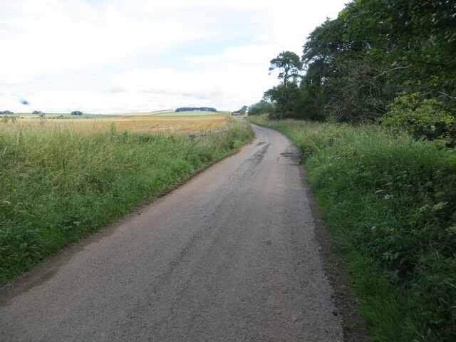
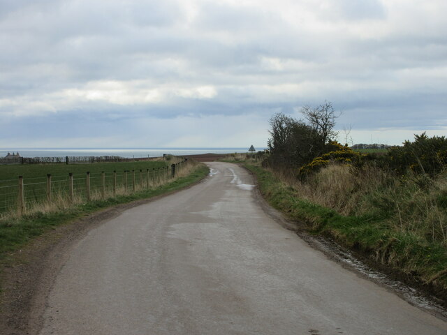
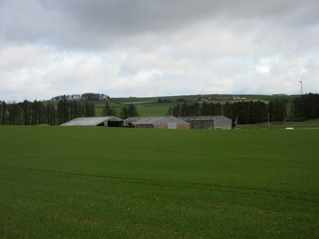
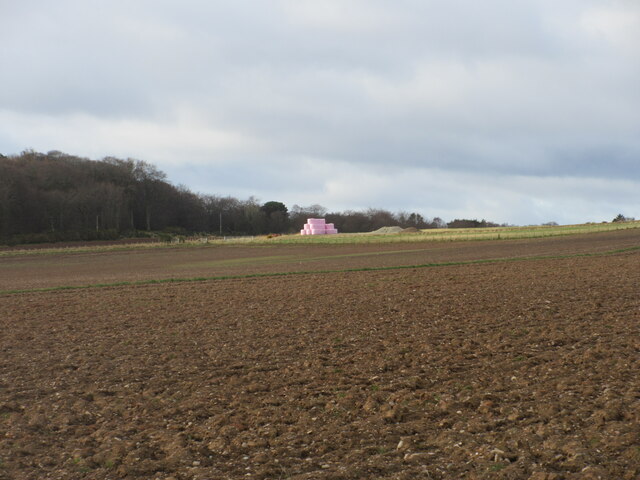
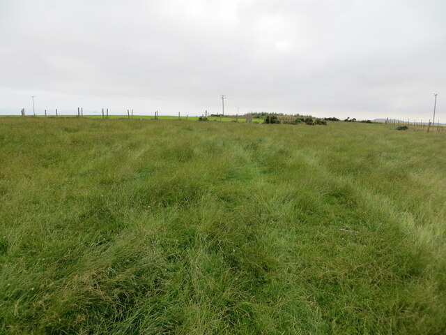
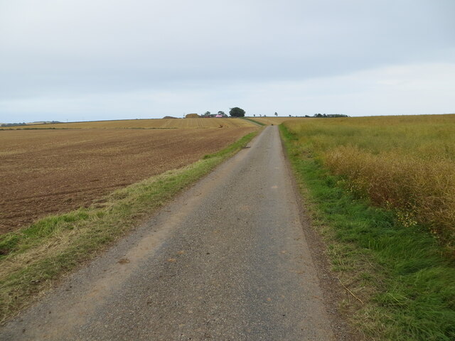
Craighead Plantation is a picturesque estate located in Kincardineshire, Scotland. Situated on the Downs and Moorland, this vast property spans over hundreds of acres and boasts breathtaking natural beauty. The plantation is characterized by rolling hills, heather-covered moorlands, and extensive woodlands, making it a haven for outdoor enthusiasts and nature lovers alike.
The estate features a diverse range of flora and fauna, with native species such as birch, rowan, and pine trees dotting the landscape. The rich biodiversity of Craighead Plantation contributes to its status as a designated conservation area and an important habitat for various wildlife, including red deer, grouse, and birds of prey.
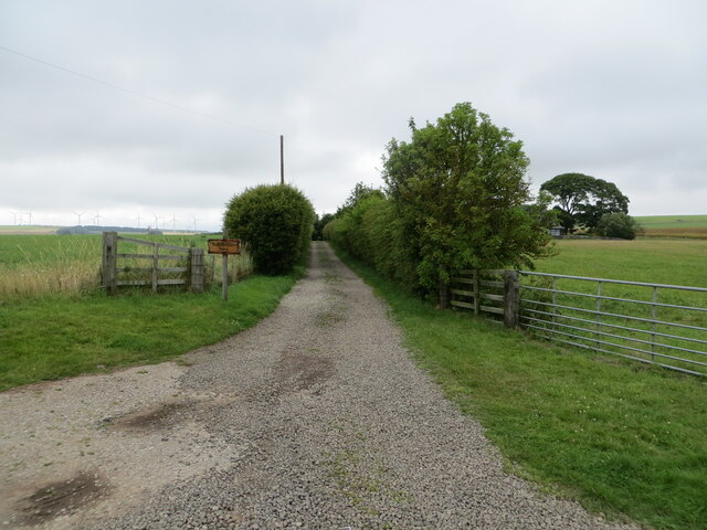
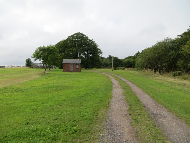
The estate offers a range of outdoor activities, making it a popular destination for visitors. Hiking and walking trails wind through the plantation, offering stunning panoramic views of the surrounding countryside. The moorlands provide ample opportunities for birdwatching and wildlife spotting, with guided tours available for those interested in learning about the local ecology.
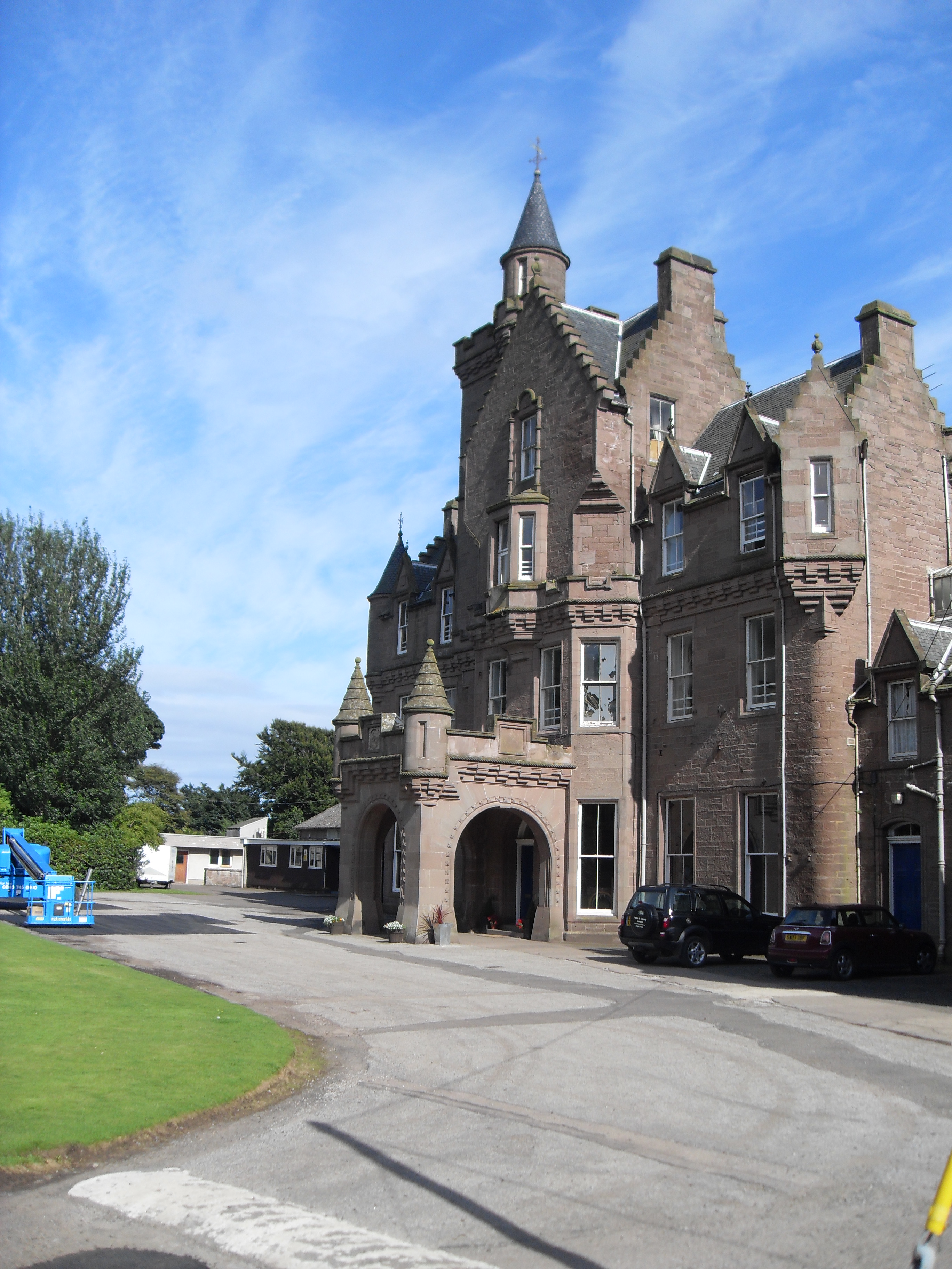
In addition to its natural beauty, Craighead Plantation also offers a glimpse into the region's rich history. The estate features a historical manor house, which has been carefully preserved and showcases traditional Scottish architecture. Visitors have the opportunity to explore the house and learn about the area's past through informative exhibits and interactive displays.
Overall, Craighead Plantation in Kincardineshire is a captivating destination that seamlessly combines stunning natural landscapes with a rich cultural heritage, offering visitors a truly immersive and memorable experience.
If you have any feedback on the listing, please let us know in the comments section below.
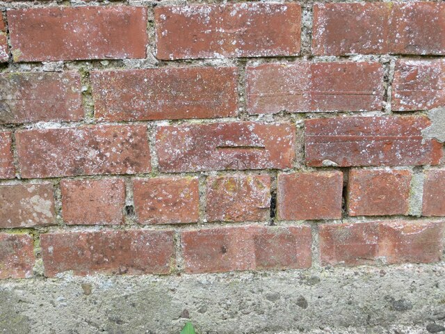
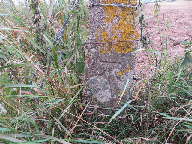
Craighead Plantation Images
Images are sourced within 2km of 56.821038/-2.3535637 or Grid Reference NO7870. Thanks to Geograph Open Source API. All images are credited.


Craighead Plantation is located at Grid Ref: NO7870 (Lat: 56.821038, Lng: -2.3535637)
Unitary Authority: Aberdeenshire
Police Authority: North East
What 3 Words
///fattening.rested.lodge. Near Inverbervie, Aberdeenshire
Nearby Locations
Related Wikis

Benholm
Benholm is a small settlement in Aberdeenshire, Scotland, UK. It is now a conservation area and is home to Benholm Mill.The A92 passes the eastern edge...

Benholm Mill
Benholm Mill in Kincardineshire, Scotland, is a restored and fully working water-powered meal mill. It is sited in ancient woodland near Johnshaven (13...
Lathallan School
Lathallan School is a co-educational all-through independent school at Brotherton Castle in Scotland, UK. It also offers outdoor learning programs on its...

Birnie Road Halt railway station
Birnie Road Halt railway station served the settlement of Benholm, Aberdeenshire, Scotland from 1865 to 1966 on the Montrose and Bervie Railway. ��2�...

Johnshaven railway station
Johnshaven railway station served the area of Johnshaven, Aberdeenshire, Scotland from 1865 to 1951 on the Montrose and Bervie Railway. == History == The...

Johnshaven
Johnshaven is a coastal village along the North Sea located in Aberdeenshire, Scotland. About 2 miles (3 km) southwest of Johnshaven lies Milton Ness,...
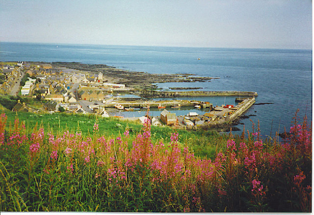
Gourdon, Aberdeenshire
Gourdon () nicknamed Gurdin by the population, is a coastal fishing village in Aberdeenshire, Scotland, south of Inverbervie and north of Johnshaven, with...

Gourdon railway station (NBR)
Gourdon railway station served the village of Gourdon, Aberdeenshire, Scotland from 1865 to 1951 on the Montrose and Bervie Railway. == History == The...
Nearby Amenities
Located within 500m of 56.821038,-2.3535637Have you been to Craighead Plantation?
Leave your review of Craighead Plantation below (or comments, questions and feedback).