Coopers Green

Downs, Moorland in Staffordshire Newcastle-under-Lyme

England

Coopers Green

Bridge over the Audley Branch Line Bridge over the North Staffordshire Railway (NSR) Audley branch line. 
The line was opened 1870 and closed in 1962.
Bridge over the Audley Branch Line Credit: Brian Deegan

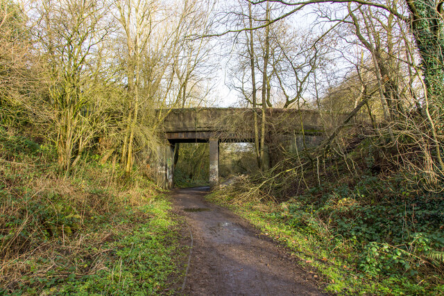
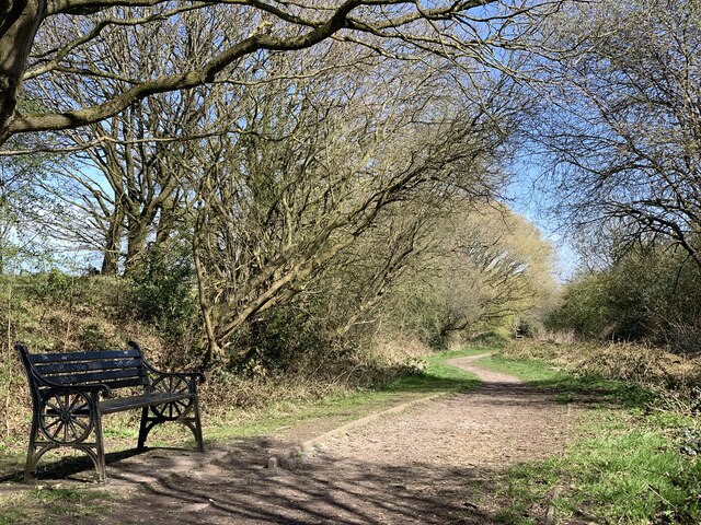
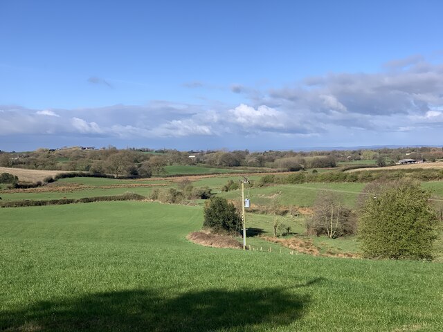
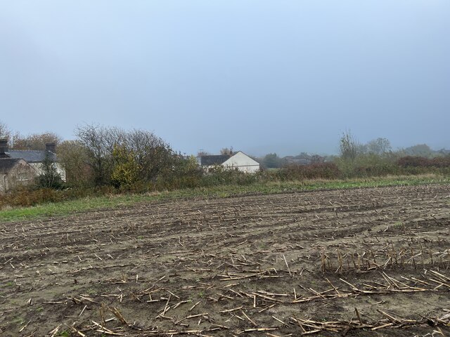
Coopers Green is a charming village located in the county of Staffordshire, England. Nestled amidst the picturesque landscape of Downs and Moorland, this idyllic settlement offers a captivating blend of natural beauty and rural charm.

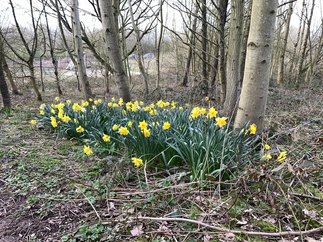
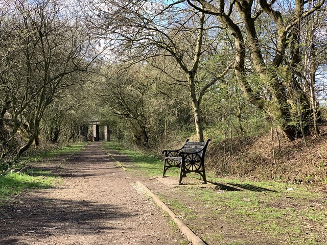
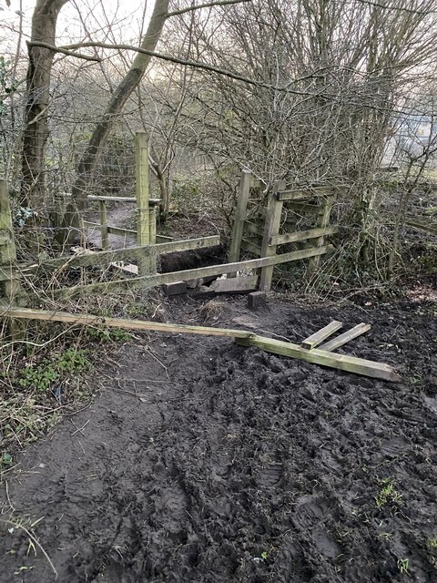
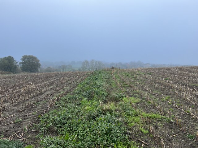
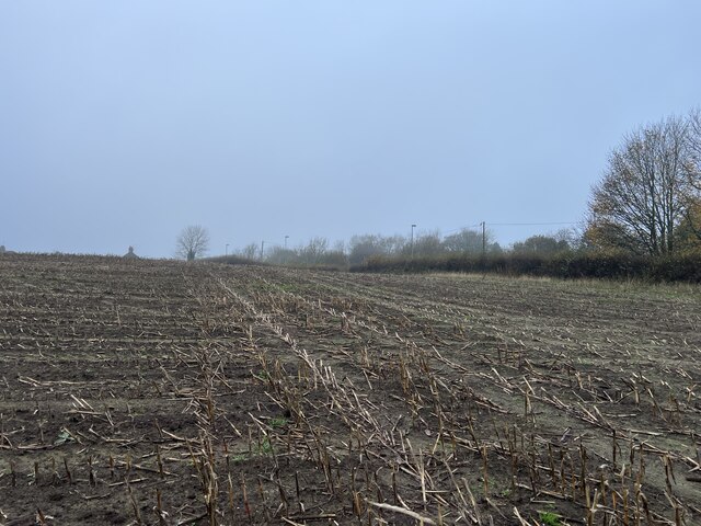
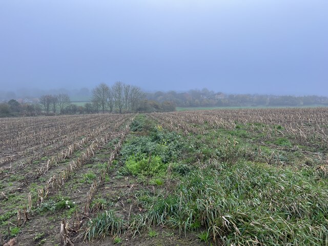
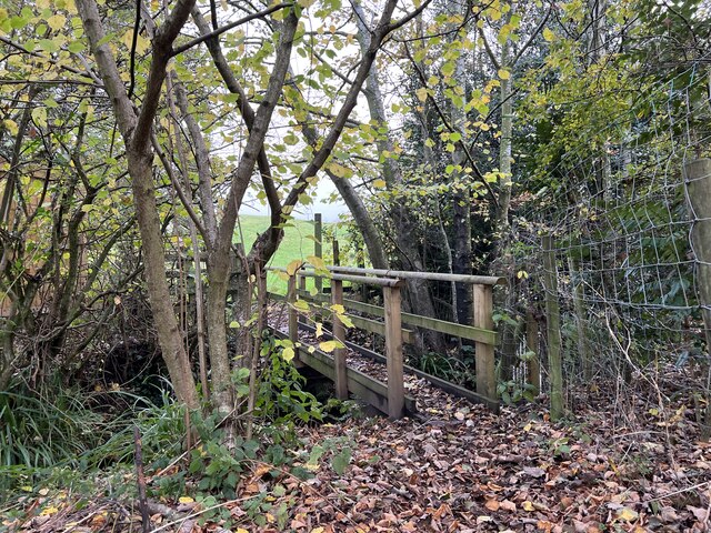
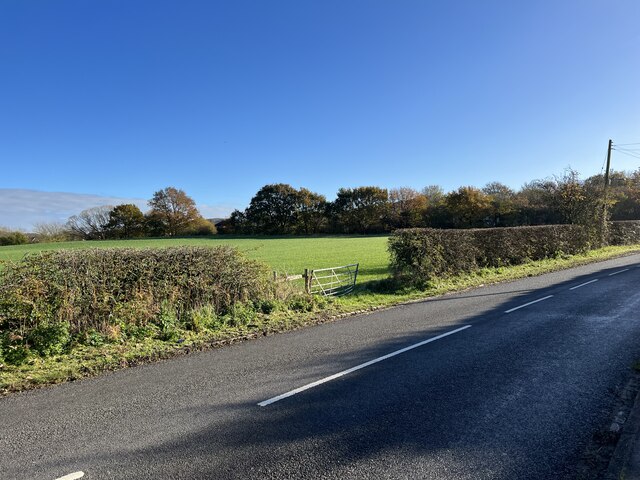
Surrounded by rolling hills and lush greenery, Coopers Green is a haven for nature enthusiasts and outdoor lovers. The village benefits from its proximity to the Staffordshire Downs, which provide ample opportunities for hiking, biking, and exploring the countryside. The rugged Moorland, with its sweeping vistas and heather-covered expanses, adds to the village's allure and offers breathtaking views.

Despite its tranquil setting, Coopers Green is well-connected to nearby towns and cities. The village is just a short drive away from Stafford, a historic market town renowned for its medieval castle and vibrant shopping district. The bustling city of Stoke-on-Trent, known for its pottery industry and cultural attractions, is also within easy reach.

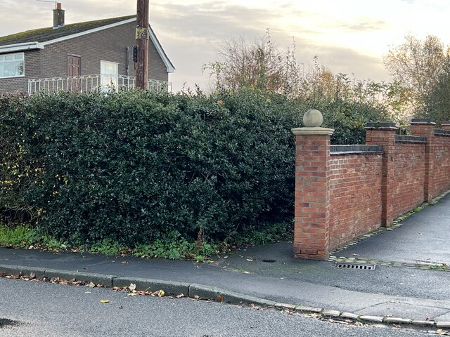
Coopers Green itself boasts a close-knit community and a range of amenities. The village features a charming local pub, where residents and visitors can enjoy traditional British cuisine and a friendly atmosphere. Additionally, the village has a primary school, village hall, and a variety of local shops, making it a self-sufficient and convenient place to live.

Overall, Coopers Green in Staffordshire is a hidden gem, offering a peaceful and picturesque retreat for those seeking a slower pace of life amidst stunning Downs and Moorland scenery.

If you have any feedback on the listing, please let us know in the comments section below.

Coopers Green Images

Images are sourced within 2km of 53.052855/-2.3236785 or Grid Reference SJ7850. Thanks to Geograph Open Source API. All images are credited.

Bridge over the Audley Branch Line Bridge over the North Staffordshire Railway (NSR) Audley branch line. 
The line was opened 1870 and closed in 1962.
Bridge over the Audley Branch Line
Bridge over the North Staffordshire Railway (NSR) Audley branch line. The line was opened 1870 and closed in 1962.
Minnie Pit Disaster (1918) Heritage site The Minnie Pit disaster was a coal mining accident that took place on 12 January 1918 in Halmer End, Staffordshire, in which 155 men and boys died. The disaster, which was caused by an explosion due to firedamp, is the worst ever recorded in the North Staffordshire Coalfield.

<span class="nowrap"><a title="https://en.wikipedia.org/wiki/Minnie_Pit_Disaster" rel="nofollow ugc noopener" href="https://en.wikipedia.org/wiki/Minnie_Pit_Disaster">Link</a><img style="margin-left:2px;" alt="External link" title="External link - shift click to open in new window" src="https://s1.geograph.org.uk/img/external.png" width="10" height="10"/></span>
Minnie Pit Disaster (1918) Heritage site
The Minnie Pit disaster was a coal mining accident that took place on 12 January 1918 in Halmer End, Staffordshire, in which 155 men and boys died. The disaster, which was caused by an explosion due to firedamp, is the worst ever recorded in the North Staffordshire Coalfield. LinkExternal link
Daffodils at Bateswood Country Park Bateswood Country Park, north-west of Newcastle-under-Lyme in Staffordshire and adjacent to the village of Halmer End, is designated as a Local Nature Reserve (LNR). It was developed after the cessation of opencast mining in the 1990s, which left the area as a barren wasteland with poor quality soil. Birch reforestation and the creation of a lake have improved the habitat for wildlife, while a network of footpaths and a bridle path create access to most parts of the site. In 2012 managed fishing by a local angling club was permitted, in an attempt to curb illicit fishing.

The site is managed by Newcastle Borough Council in partnership with Halmer End Wildlife Trust, a group of volunteers.

This site is not to be confused with Staffordshire Wildlife Trust's reserve immediately to the south, also called Bateswood (see <a title="https://www.geograph.org.uk/snippet/12701)" href="https://www.geograph.org.uk/snippet/12701)">Link</a>.
Daffodils at Bateswood Country Park
Bateswood Country Park, north-west of Newcastle-under-Lyme in Staffordshire and adjacent to the village of Halmer End, is designated as a Local Nature Reserve (LNR). It was developed after the cessation of opencast mining in the 1990s, which left the area as a barren wasteland with poor quality soil. Birch reforestation and the creation of a lake have improved the habitat for wildlife, while a network of footpaths and a bridle path create access to most parts of the site. In 2012 managed fishing by a local angling club was permitted, in an attempt to curb illicit fishing. The site is managed by Newcastle Borough Council in partnership with Halmer End Wildlife Trust, a group of volunteers. This site is not to be confused with Staffordshire Wildlife Trust's reserve immediately to the south, also called Bateswood (see Link.
Bench seat on 'the Lines' 'The Lines' is the local term for the trackbed of the former Audley branch railway (closed 1963). It is not an official footpath but is regularly used by walkers, cyclists, dog-walkers, and schoolchildren going to and from Sir Thomas Boughey school in Halmer End.
Bench seat on 'the Lines'
'The Lines' is the local term for the trackbed of the former Audley branch railway (closed 1963). It is not an official footpath but is regularly used by walkers, cyclists, dog-walkers, and schoolchildren going to and from Sir Thomas Boughey school in Halmer End.
Audley Meadows from Wereton Road
Broken stile and footbridge Staffordshire County Council were notified that the bridge and stile on this public footpath had become almost impassable, and with commendable promptness rebuilt it much more sturdily, see <a href="https://www.geograph.org.uk/photo/7339980">SJ7949 : Rebuilt footbridge over brook</a>
Broken stile and footbridge
Staffordshire County Council were notified that the bridge and stile on this public footpath had become almost impassable, and with commendable promptness rebuilt it much more sturdily, see SJ7949 : Rebuilt footbridge over brook
Footpath through maize field
Maize stubble in November
Footpath through maize field
Rebuilt footbridge over brook Staffordshire County Council rebuilt the bridge much more sturdily after it had become impassable eight months before, see <a href="https://www.geograph.org.uk/photo/7338506">SJ7949 : Broken stile and footbridge</a>
Rebuilt footbridge over brook
Staffordshire County Council rebuilt the bridge much more sturdily after it had become impassable eight months before, see SJ7949 : Broken stile and footbridge
Rebuilt footbridge over brook By early spring 2021 this double-plank footbridge had become almost impassable, with one plank gone and the other seriously unstable due to bank erosion: in addition the stile at the further (field) end was broken - see <a href="https://www.geograph.org.uk/photo/7338506">SJ7949 : Broken stile and footbridge</a>

With commendable promptness Staffordshire County Council rebuilt it much more sturdily. See also a view of the other end from the field <a href="https://www.geograph.org.uk/photo/7339980">SJ7949 : Rebuilt footbridge over brook</a>
Rebuilt footbridge over brook
By early spring 2021 this double-plank footbridge had become almost impassable, with one plank gone and the other seriously unstable due to bank erosion: in addition the stile at the further (field) end was broken - see SJ7949 : Broken stile and footbridge With commendable promptness Staffordshire County Council rebuilt it much more sturdily. See also a view of the other end from the field SJ7949 : Rebuilt footbridge over brook
Gate into field on Wereton Road
Unsigned public footpath in Miles Green The narrow gap between the wall and the holly hedge is the west end of public footpath Audley 39, which leads from Station Road to Heathcote Road.
Unsigned public footpath in Miles Green
The narrow gap between the wall and the holly hedge is the west end of public footpath Audley 39, which leads from Station Road to Heathcote Road.
Goat paddock
Goat paddock
Field corner above the Dean Brook
Cadent using what3words what3words is a geocode system originated in 2013 designed to identify any location with a resolution of about 3 metres (9.8 ft). The system encodes geographic coordinates into three permanently fixed dictionary words.
By September 2021, more than 85 per cent of British emergency services teams use what3words, including the Metropolitan Police and London Fire Brigade.
Cadent using what3words
what3words is a geocode system originated in 2013 designed to identify any location with a resolution of about 3 metres (9.8 ft). The system encodes geographic coordinates into three permanently fixed dictionary words. By September 2021, more than 85 per cent of British emergency services teams use what3words, including the Metropolitan Police and London Fire Brigade.
Show me another place!

Coopers Green is located at Grid Ref: SJ7850 (Lat: 53.052855, Lng: -2.3236785)

Administrative County: Staffordshire

District: Newcastle-under-Lyme

Police Authority: Staffordshire

What 3 Words

///spellings.skies.koala. Near Audley, Staffordshire

Nearby Locations

Coopers Green The Quarry

Related Wikis

Audley, Staffordshire

Audley is a large village and former civil parish, now in the parish of Audley Rural, in the Newcastle-under-Lyme district, in Staffordshire, England....

Audley Rural

Audley Rural is a parish of Staffordshire, England, located four miles to the north-west of the town of Newcastle-under-Lyme. It is predominantly a rural...

Audley Urban District

Audley Urban District is a former administrative unit in Staffordshire created by the Local Government Act 1894. It contained the civil parish of Audley...

Halmerend railway station

Halmerend railway station (sometimes referred to as Halmer End) is a disused railway station in Staffordshire, England. The station was situated on the...

Miles Green

Miles Green is a village in the civil parish of Audley Rural, in the Newcastle-under-Lyme district, in the county of Staffordshire, England and is about...

Sir Thomas Boughey Academy

Sir Thomas Boughey Academy (formerly Sir Thomas Boughey High School) is a co-educational secondary school located in Halmer End (near Newcastle-under-Lyme...
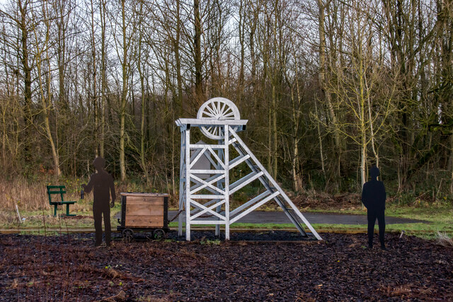
Minnie Pit Disaster

The Minnie Pit disaster was a coal mining accident that took place on 12 January 1918 in Halmer End, Staffordshire, in which 155 men and boys died. The...

Newcastle-under-Lyme (UK Parliament constituency)

Newcastle-under-Lyme is a constituency in northern Staffordshire created in 1354 and represented in the House of Commons of the UK Parliament since 2019...

Nearby Amenities

Located within 500m of 53.052855,-2.3236785
Barrier: stile
Lat/Long: 53.0559294/-2.3260692
Power: pole
Lat/Long: 53.0500903/-2.3186142
Power: pole
Lat/Long: 53.0501865/-2.3188422
The data included in this document is from www.openstreetmap.org. The data is made available under ODbL.

Have you been to Coopers Green?

Leave your review of Coopers Green below (or comments, questions and feedback).