Brawleymuir Plantation

Downs, Moorland in Kincardineshire

Scotland

Brawleymuir Plantation

Grassland on Kenshot Hill Looking south-westward to the Triangulation Pillar. Also named King's Seat Hill.
Grassland on Kenshot Hill Credit: Peter Wood

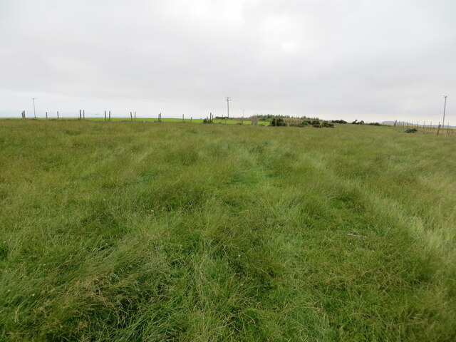
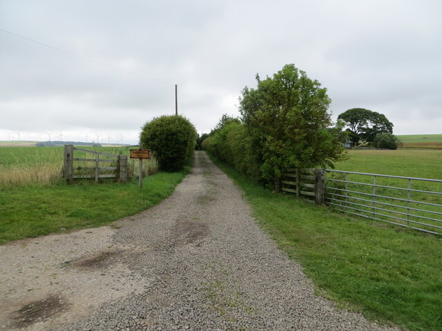
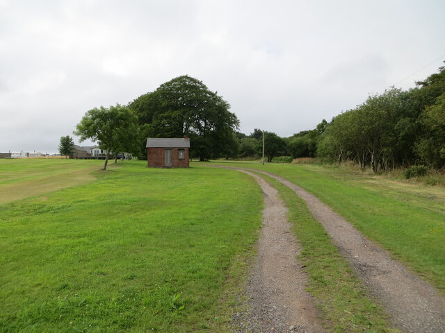
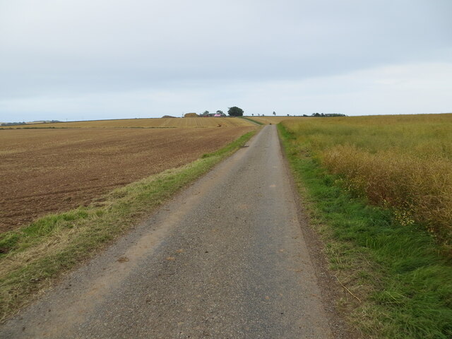
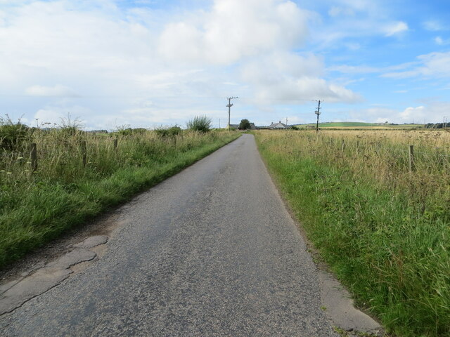
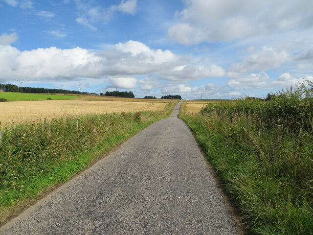
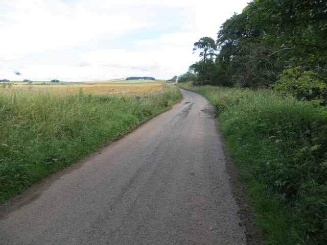
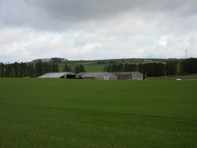
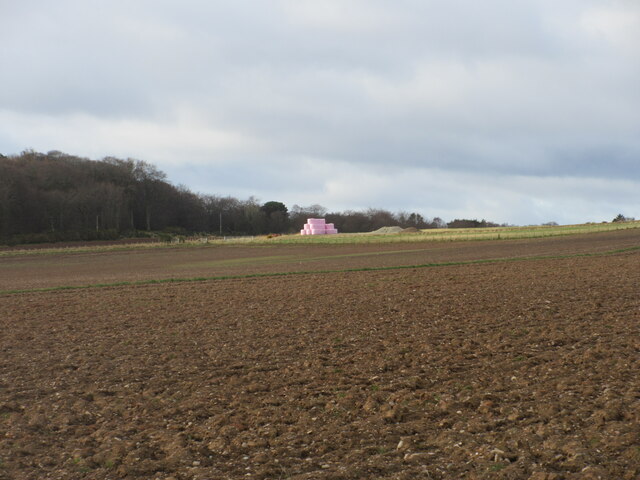
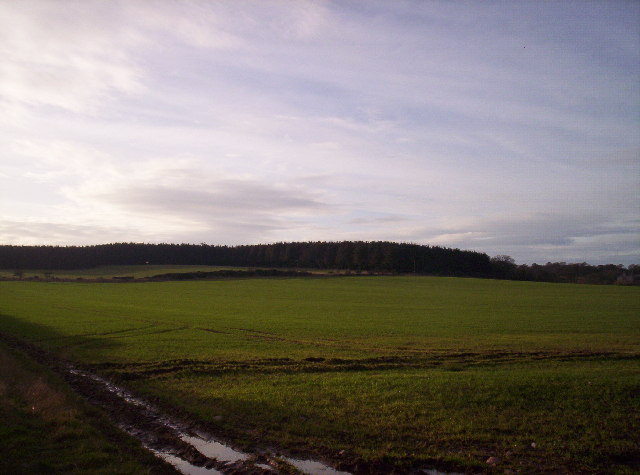
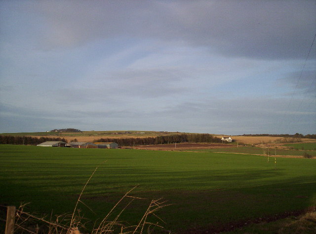
Brawleymuir Plantation is a picturesque estate located in Kincardineshire, Scotland. Situated on the Downs and Moorland, it spans across a vast area and is known for its stunning natural beauty. The plantation is surrounded by rolling hills, heather-covered moorlands, and dense forests, offering a diverse landscape for visitors to explore.

Covering an approximate area of several hundred acres, Brawleymuir Plantation is home to a wide variety of flora and fauna. The dense forest areas consist of a mix of native Scottish trees, including Scots pine, birch, and oak, providing a perfect habitat for numerous bird species, small mammals, and insects.

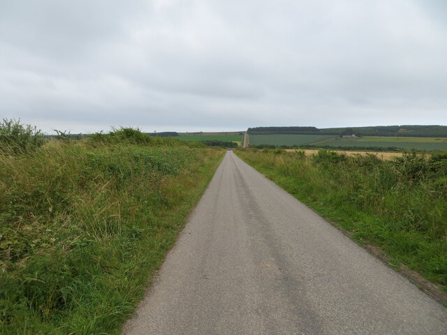
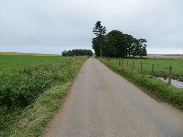
Being situated on the Downs and Moorland, the plantation offers breathtaking views of the surrounding countryside. Visitors can enjoy scenic walks along the well-maintained trails, taking in the panoramic vistas of the moors and hills. The area is also a popular spot for outdoor activities such as hiking, bird-watching, and photography.

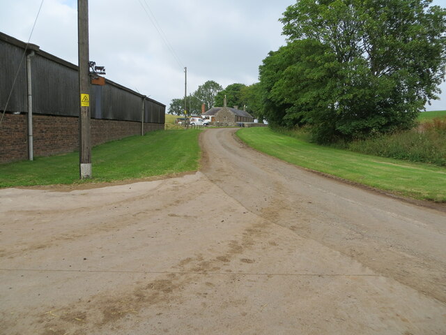
Brawleymuir Plantation is easily accessible, with designated parking areas and well-marked paths for visitors to navigate the estate. The plantation is open to the public throughout the year, allowing visitors to experience the changing seasons and witness the vibrant colors of the landscape.

With its tranquil ambiance and abundant natural beauty, Brawleymuir Plantation is a haven for nature enthusiasts and those seeking a peaceful retreat in the heart of Kincardineshire.

If you have any feedback on the listing, please let us know in the comments section below.

Brawleymuir Plantation Images

Images are sourced within 2km of 56.824133/-2.3676176 or Grid Reference NO7770. Thanks to Geograph Open Source API. All images are credited.

Grassland on Kenshot Hill Looking south-westward to the Triangulation Pillar. Also named King's Seat Hill.
Grassland on Kenshot Hill
Looking south-westward to the Triangulation Pillar. Also named King's Seat Hill.
Minor road heading towards Sheriff's Kettle and Brownieleys Looking eastward.
Minor road heading towards Sheriff's Kettle and Brownieleys
Looking eastward.
Road passing Easter Tulloch Looking north-eastward.
Road passing Easter Tulloch
Looking north-eastward.
Road between Easter and Nether Tulloch Looking south-eastward.
Road between Easter and Nether Tulloch
Looking south-eastward.
Hedge enclosed track giving access to Brawliemuir Farm Looking north-westward. Spelling as per farm sign.
Hedge enclosed track giving access to Brawliemuir Farm
Looking north-westward. Spelling as per farm sign.
Track giving access to Woodside of Benholm Looking north-westward.
Track giving access to Woodside of Benholm
Looking north-westward.
Minor road heading towards Tullo' of Benholm Looking south-eastward.
Minor road heading towards Tullo' of Benholm
Looking south-eastward.
Minor road approaching Redford Looking south-westward.
Minor road approaching Redford
Looking south-westward.
Minor road between Redford and Tullo Looking north-eastward.
Minor road between Redford and Tullo
Looking north-eastward.
Ordnance Survey Cut Mark This mark can be found on the wall of a small brick building at Woodside.
The recorded details give a height of 128.7506 metres above sea level.
For more detail see : <span class="nowrap"><a title="https://www.bench-marks.org.uk/bm162436" rel="nofollow ugc noopener" href="https://www.bench-marks.org.uk/bm162436">Link</a><img style="margin-left:2px;" alt="External link" title="External link - shift click to open in new window" src="https://s1.geograph.org.uk/img/external.png" width="10" height="10"/></span>
Ordnance Survey Cut Mark
This mark can be found on the wall of a small brick building at Woodside. The recorded details give a height of 128.7506 metres above sea level. For more detail see : LinkExternal link
Ordnance Survey Cut Mark This mark can be found on a roadside concrete fence post.
The recorded details give a height of 117.5705 metres above sea level. As the fence post has at some time been side swiped the height figure is now historical.
For more detail see : <span class="nowrap"><a title="https://www.bench-marks.org.uk/bm162445" rel="nofollow ugc noopener" href="https://www.bench-marks.org.uk/bm162445">Link</a><img style="margin-left:2px;" alt="External link" title="External link - shift click to open in new window" src="https://s1.geograph.org.uk/img/external.png" width="10" height="10"/></span>
Ordnance Survey Cut Mark
This mark can be found on a roadside concrete fence post. The recorded details give a height of 117.5705 metres above sea level. As the fence post has at some time been side swiped the height figure is now historical. For more detail see : LinkExternal link
Minor road beside Balhagarty Plantation Looking north-eastward.
Minor road beside Balhagarty Plantation
Looking north-eastward.
Farm sheds at Craighead Looking north from the roadside to three large sheds at Craighead.
Farm sheds at Craighead
Looking north from the roadside to three large sheds at Craighead.
Pink bales A distant view of pink-wrapped bales to the north of Muirton on the lower southern slope of Paul Matthew Hill.
Pink bales
A distant view of pink-wrapped bales to the north of Muirton on the lower southern slope of Paul Matthew Hill.
East Balhagarty Farm and fields
Show me another place!

Brawleymuir Plantation is located at Grid Ref: NO7770 (Lat: 56.824133, Lng: -2.3676176)

Unitary Authority: Aberdeenshire

Police Authority: North East

What 3 Words

///flinches.extension.majoring. Near Inverbervie, Aberdeenshire

Nearby Locations

Brawleymuir Plantation

Related Wikis

Benholm

Benholm is a small settlement in Aberdeenshire, Scotland, UK. It is now a conservation area and is home to Benholm Mill.The A92 passes the eastern edge...

Benholm Mill

Benholm Mill in Kincardineshire, Scotland, is a restored and fully working water-powered meal mill. It is sited in ancient woodland near Johnshaven (13...
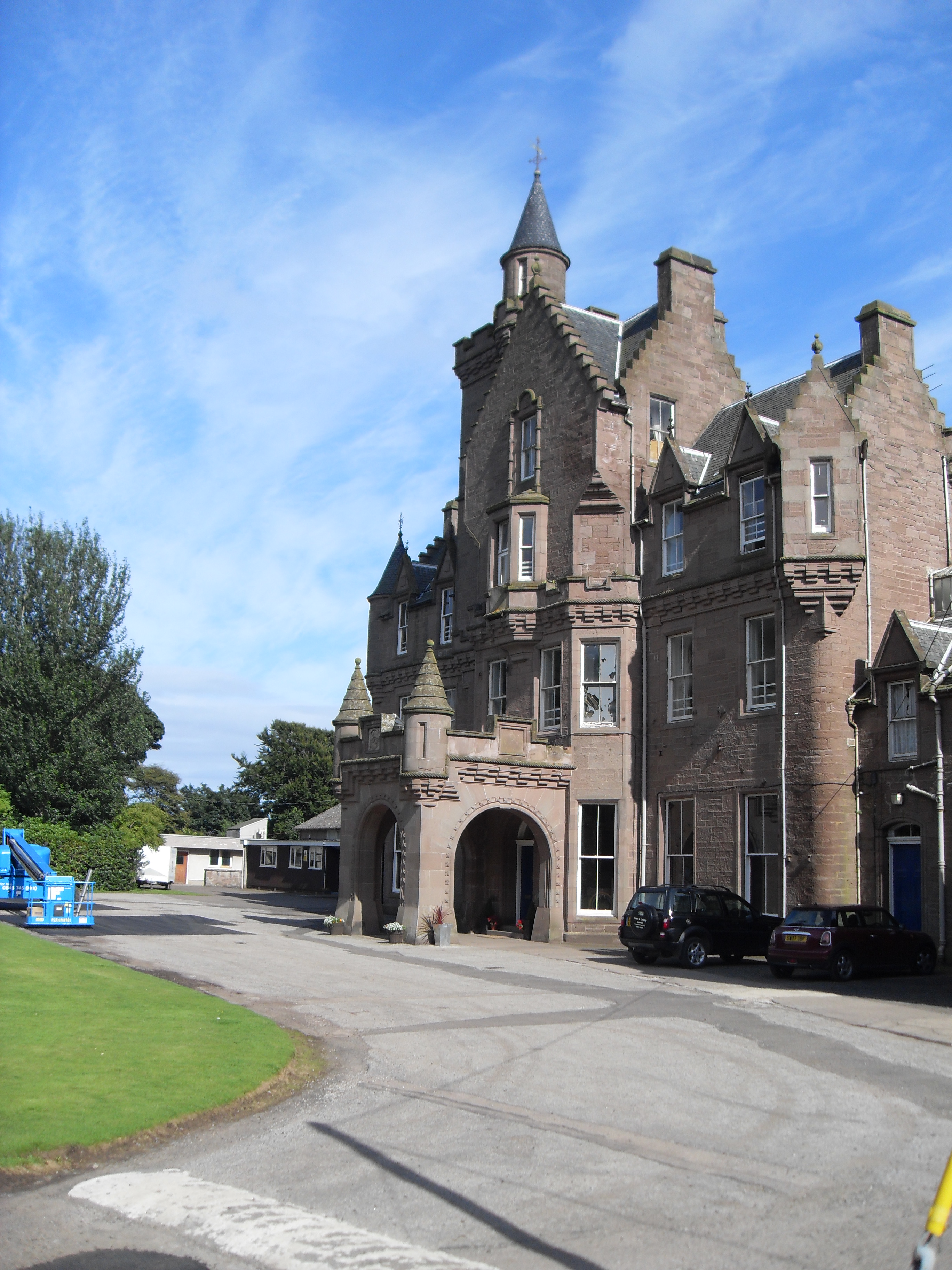
Lathallan School

Lathallan School is a co-educational all-through independent school at Brotherton Castle in Scotland, UK. It also offers outdoor learning programs on its...

Johnshaven railway station

Johnshaven railway station served the area of Johnshaven, Aberdeenshire, Scotland from 1865 to 1951 on the Montrose and Bervie Railway. == History == The...

Nearby Amenities

Located within 500m of 56.824133,-2.3676176
Power: pole
Lat/Long: 56.8255338/-2.3643776
Power: pole
Lat/Long: 56.8260556/-2.364626
Power: pole
Lat/Long: 56.8266151/-2.3649055
Power: pole
Lat/Long: 56.8272171/-2.3652116
Power: pole
Lat/Long: 56.8277996/-2.3655021
Power: pole
Lat/Long: 56.8283882/-2.3657971
Power: pole
Lat/Long: 56.8265095/-2.363659
Power: pole
Lat/Long: 56.8269671/-2.362632
Power: pole
Lat/Long: 56.8285071/-2.3671179
Power: pole
Lat/Long: 56.8280096/-2.3681648
Power: pole
Lat/Long: 56.8277547/-2.3693049
Power: pole
Lat/Long: 56.8274974/-2.3704383
Power: pole
Lat/Long: 56.8272389/-2.3715428
Power: pole
Lat/Long: 56.8269792/-2.372745
Power: pole
Lat/Long: 56.8267596/-2.3737719
The data included in this document is from www.openstreetmap.org. The data is made available under ODbL.

Have you been to Brawleymuir Plantation?

Leave your review of Brawleymuir Plantation below (or comments, questions and feedback).