Birkett Common
Downs, Moorland in Westmorland Eden
England
Birkett Common

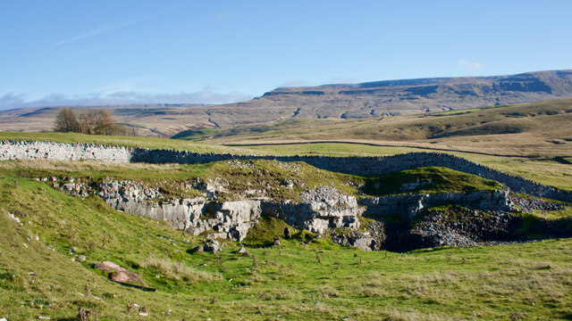
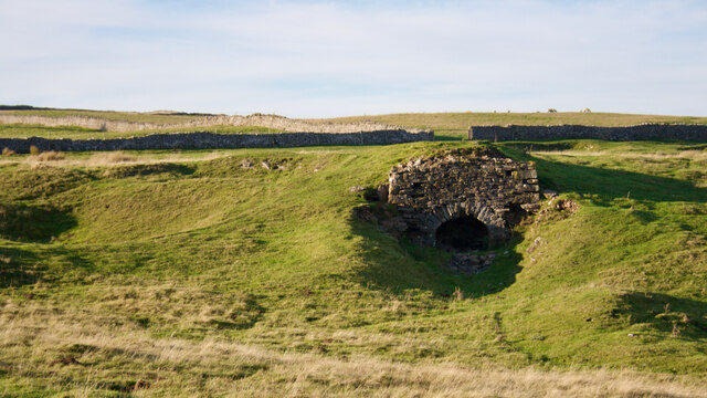
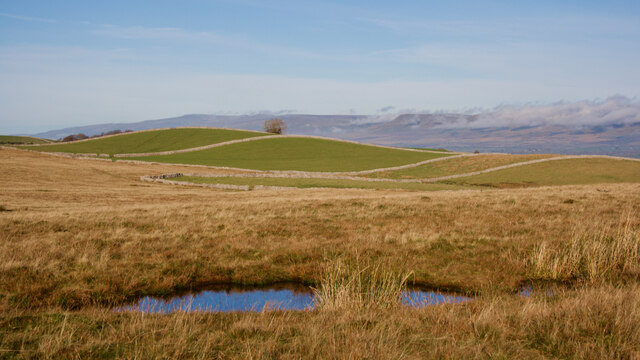
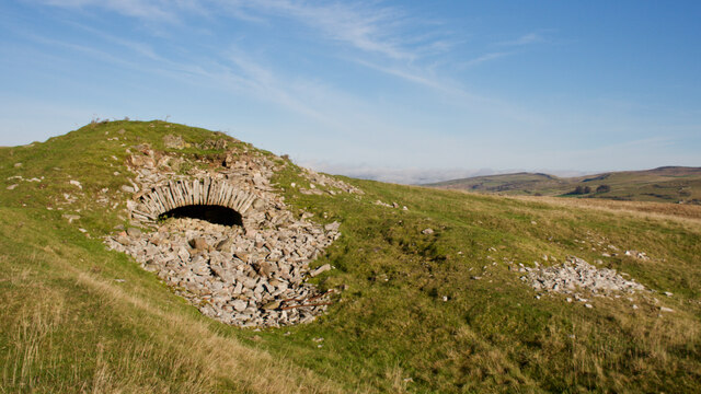
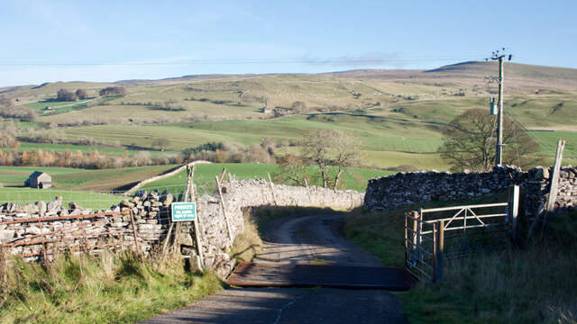
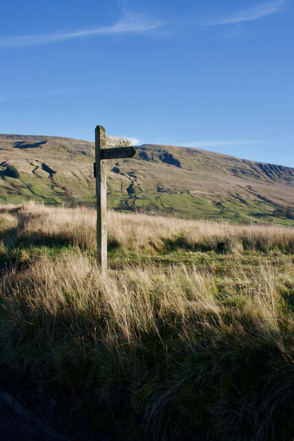
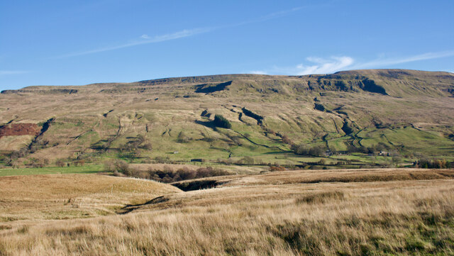
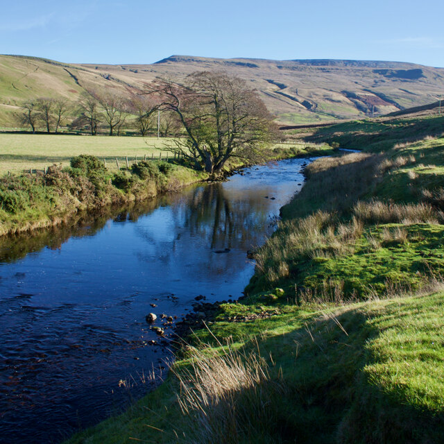
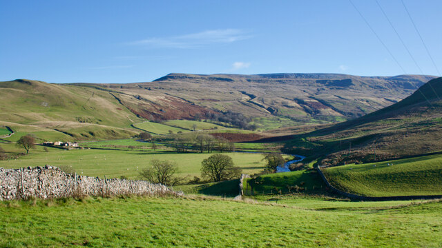
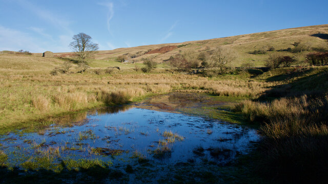
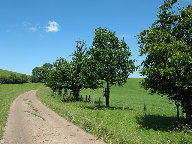
Birkett Common is a vast expanse of land located in Westmorland, a historic county in the northwest of England. Situated amidst the dramatic landscape of downs and moorland, it covers an area of approximately 1,500 acres. The common is characterized by its undulating terrain, interspersed with craggy outcrops and heather-clad hills, creating a picturesque and rugged environment.
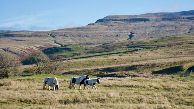
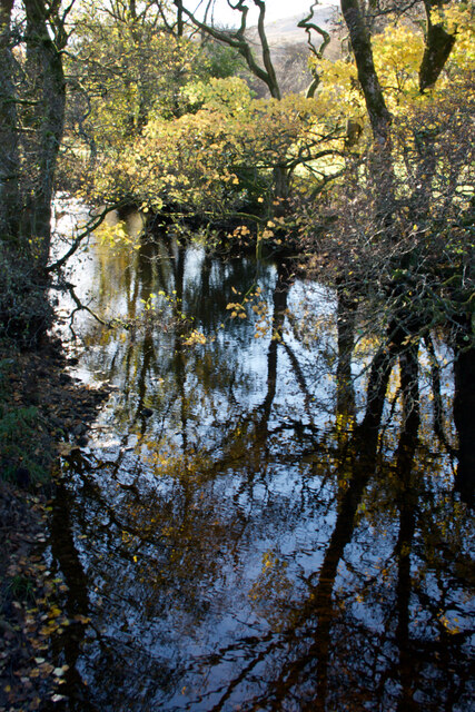
The vegetation on Birkett Common is predominantly heathland, with patches of sparse grasses and scattered trees. The heather, in particular, provides a vibrant purple hue during the summer months, creating a stunning contrast against the greenery. This unique habitat supports a variety of plant and animal species that thrive in such conditions.
The common is a popular destination for nature enthusiasts, hikers, and bird watchers. It offers numerous walking trails and footpaths, allowing visitors to explore the diverse flora and fauna. The area is home to several bird species, including merlins, curlews, and meadow pipits, making it an excellent spot for birdwatching.
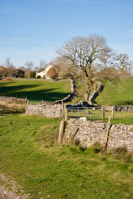
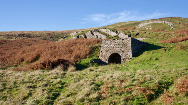
In addition to its natural beauty, Birkett Common also holds historical significance. It has been used as common grazing land for centuries, providing a vital resource for local farmers. The ancient stone walls that crisscross the landscape serve as a reminder of the area's agricultural heritage.
Overall, Birkett Common in Westmorland is a remarkable natural landscape, boasting stunning views, diverse wildlife, and a rich history. Whether you seek tranquility, adventure, or an opportunity to connect with nature, this expansive common offers a truly immersive experience.
If you have any feedback on the listing, please let us know in the comments section below.
Birkett Common Images
Images are sourced within 2km of 54.428077/-2.3462372 or Grid Reference NY7703. Thanks to Geograph Open Source API. All images are credited.


Birkett Common is located at Grid Ref: NY7703 (Lat: 54.428077, Lng: -2.3462372)
Administrative County: Cumbria
District: Eden
Police Authority: Cumbria
What 3 Words
///comic.originals.pampered. Near Kirkby Stephen, Cumbria
Nearby Locations
Related Wikis

Pendragon Castle
Pendragon Castle is a ruin located in Mallerstang Dale, Cumbria, south of Kirkby Stephen, and close to the hamlet of Outhgill (at grid reference NY781025...

Outhgill
Outhgill is a hamlet in Mallerstang, Cumbria, England. It lies about 5 miles (8 km) south of Kirkby Stephen. It is the main hamlet in the dale of Mallerstang...
Mallerstang
Mallerstang is a civil parish in the extreme east of Cumbria, and, geographically, a dale at the head of the upper Eden Valley. Originally part of Westmorland...
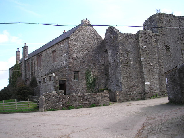
Wharton Hall
Wharton Hall in Wharton, Cumbria, England, is a medieval fortified manor house. == History == At the heart of Wharton Hall is a 15th-century hall, built...

Nateby, Cumbria
Nateby is a village and civil parish in the Eden district of Cumbria, England. The parish had a population of 110 in 2001, increasing to 120 at the 2011...
Wharton, Cumbria
Wharton is a civil parish near Kirkby Stephen in the Eden District of Cumbria, England, which, historically, was part of Westmorland. It has a population...
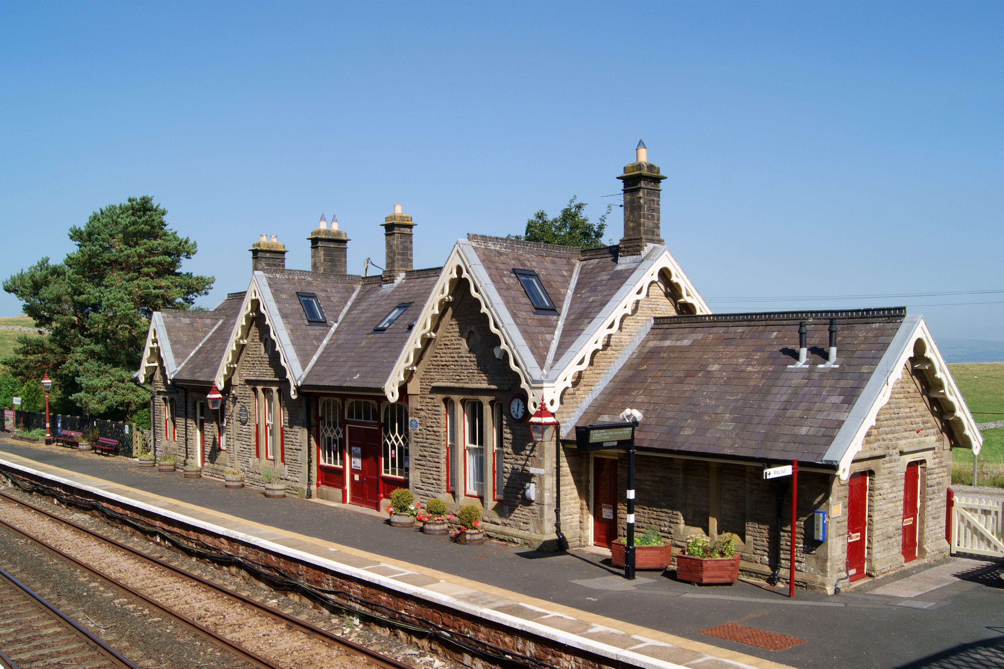
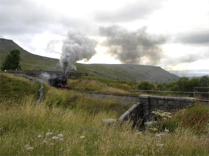
Kirkby Stephen railway station
Kirkby Stephen is a railway station in Eden in Cumbria, England, on the Settle and Carlisle Line, which runs between Carlisle and Leeds via Settle. The...
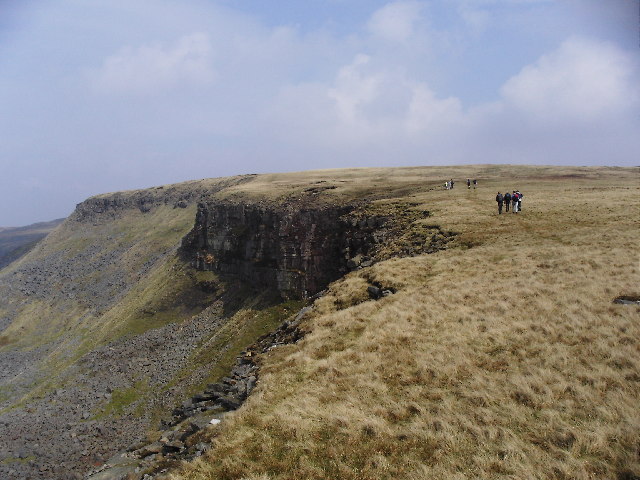
High Seat (Yorkshire Dales)
High Seat is a fell in the dale of Mallerstang, Cumbria. With a summit at 709 metres (2,326 ft), it is the fourth highest fell in the Yorkshire Dales...
Nearby Amenities
Located within 500m of 54.428077,-2.3462372Have you been to Birkett Common?
Leave your review of Birkett Common below (or comments, questions and feedback).