Intake Wood

Downs, Moorland in Westmorland Eden

England

Intake Wood

Barn in field on east side of B6259 at junction with footpath to How Beck Bridge The barn is now losing its roof: compare with 2013 photo <a href="https://www.geograph.org.uk/photo/3771178">SD7895 : Barn beside B6259 opposite White Birch Cottage</a>
Barn in field on east side of B6259 at junction with footpath to How Beck Bridge Credit: Luke Shaw

Intake Wood is a picturesque area located in the county of Westmorland, England. Situated amidst the stunning Downs and Moorland landscapes, it is a place of remarkable natural beauty and tranquility. The wood covers a significant area, with dense foliage and a diverse range of tree species, including oak, beech, and birch.

The wood is known for its abundance of wildlife, attracting nature enthusiasts and bird watchers from near and far. It is home to a variety of bird species, including woodpeckers, owls, and warblers, making it a haven for birdwatching enthusiasts. The peaceful surroundings and the gentle rustling of leaves provide a perfect setting for a leisurely stroll or a picnic amidst nature.

Intake Wood also offers opportunities for outdoor activities such as hiking and cycling. There are well-maintained trails that wind through the wood, allowing visitors to explore its hidden corners and discover its natural wonders. The wood is a popular spot for families, offering a safe and serene environment for children to play and explore.

The wood is easily accessible from nearby villages and towns, making it a popular destination for day trips and weekend getaways. Additionally, there are picnic areas and benches scattered throughout the wood, providing visitors with the opportunity to relax and soak in the stunning surroundings.

Overall, Intake Wood in Westmorland is a true gem, offering a peaceful retreat from the bustling city life. Its natural beauty, rich wildlife, and recreational opportunities make it a must-visit destination for nature lovers and outdoor enthusiasts alike.

If you have any feedback on the listing, please let us know in the comments section below.
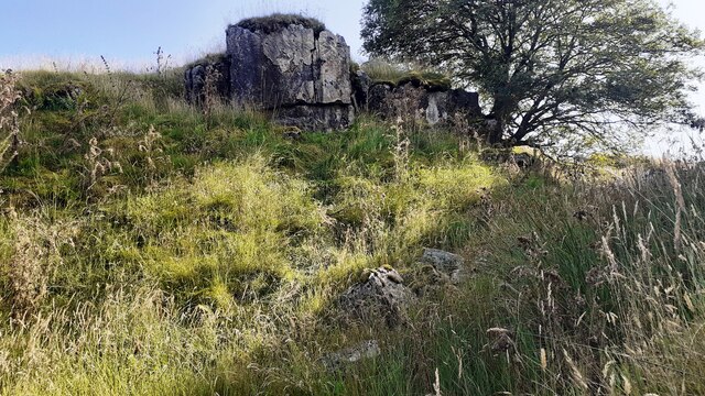
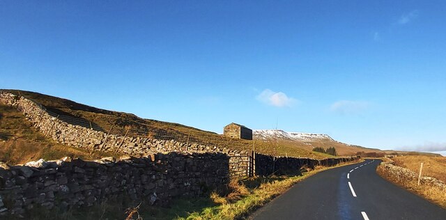
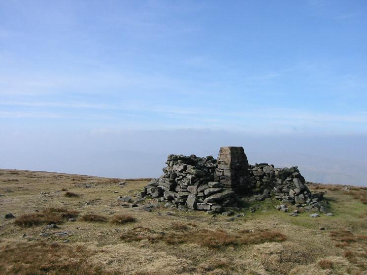
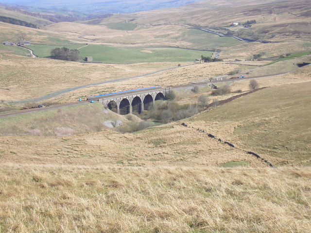
Intake Wood Images

Images are sourced within 2km of 54.366839/-2.3463371 or Grid Reference SD7796. Thanks to Geograph Open Source API. All images are credited.

Barn in field on east side of B6259 at junction with footpath to How Beck Bridge The barn is now losing its roof: compare with 2013 photo <a href="https://www.geograph.org.uk/photo/3771178">SD7895 : Barn beside B6259 opposite White Birch Cottage</a>
Barn in field on east side of B6259 at junction with footpath to How Beck Bridge
The barn is now losing its roof: compare with 2013 photo SD7895 : Barn beside B6259 opposite White Birch Cottage
Rock outcrop and rowan tree on SE bank of Far Cote Gill The 1898 1:2500 Map shows an Ordnance Survey benchmark levelled at 1277.4 feet above Liverpool Datum near here, but unable to locate it
Rock outcrop and rowan tree on SE bank of Far Cote Gill
The 1898 1:2500 Map shows an Ordnance Survey benchmark levelled at 1277.4 feet above Liverpool Datum near here, but unable to locate it
Looking down Far Cote Gill to bridge taking B6259 over Settle-Carlisle Railway
Section of Ais Gill with flat bed near White Kirk
Sheepfolds on east side of Hell Gill
Track heading down towards Shaw Paddock Old Maps from 1853 to 1957 show an Ordnance Survey benchmark levelled at 1142.5 feet above Liverpool Datum at the left hand side of the track here.
Track heading down towards Shaw Paddock
Old Maps from 1853 to 1957 show an Ordnance Survey benchmark levelled at 1142.5 feet above Liverpool Datum at the left hand side of the track here.
How Beck Bridge taking track over River Ure
Green Bridge taking bridleway over moorland stream
Lime kiln at Hell Gill Green
Waterfall on Hell Gill Beck
Hell Gill Beck north of Sour Hill
Looking SW along Hell Gill Beck north of Sour Hill
Looking NE along Hell Gill Beck
Valley with Hell Gill Beck
New forestry on west bank of Hell Gill Beck seen over wall of sheepfold Is that a meadow pipit on the wall?
New forestry on west bank of Hell Gill Beck seen over wall of sheepfold
Is that a meadow pipit on the wall?
Shaw Paddock Farm
Shaw Paddock Farm
The B6259 near White Birch Cottage
Aisgill Moor Cottage
Show me another place!

Intake Wood is located at Grid Ref: SD7796 (Lat: 54.366839, Lng: -2.3463371)

Administrative County: Cumbria

District: Eden

Police Authority: Cumbria

What 3 Words

///infants.mills.crunches. Near Kirkby Stephen, Cumbria

Related Wikis

Nearby Amenities

Located within 500m of 54.366839,-2.3463371
Aisgill
Place: hamlet
Wikidata: Q4699122
Wikipedia: en:Aisgill
Lat/Long: 54.3689985/-2.3473114
Waterway: waterfall
Lat/Long: 54.3668556/-2.3503049
Historic: mine
Man Made: mine
Mineral: lead
Source: OS OpenData StreetView
Lat/Long: 54.3658438/-2.3512145
Barrier: entrance
Lat/Long: 54.3685244/-2.3432886
Barrier: stile
Material: stone
Source: survey;gps
Stile: stepover
Lat/Long: 54.3676242/-2.3408666
Ford: yes
Lat/Long: 54.3701281/-2.3425148
Ford: yes
Lat/Long: 54.363866/-2.3421273
Hellgill Force
Image: https://www.geograph.org.uk/photo/3773095
Waterway: waterfall
Lat/Long: 54.3638573/-2.3423243
Disused Man Made: kiln
Historic: lime_kiln
Image: https://www.geograph.org.uk/photo/3440764
Product: lime
Lat/Long: 54.370493/-2.3427218
Power: pole
Lat/Long: 54.3643976/-2.341351
Power: pole
Lat/Long: 54.3651912/-2.3421155
Power: pole
Lat/Long: 54.3660491/-2.3429335
Power: pole
Lat/Long: 54.3667046/-2.3435545
Power: pole
Lat/Long: 54.3677355/-2.3438784
Power: pole
Lat/Long: 54.3686205/-2.3441688
Power: pole
Lat/Long: 54.3695074/-2.344456
Power: pole
Lat/Long: 54.370192/-2.3446696
Power: pole
Lat/Long: 54.3710439/-2.3449301
Man Made: cairn
Lat/Long: 54.3625291/-2.3449812
Waterway: waterfall
Lat/Long: 54.3668156/-2.3502861
Barrier: stile
Lat/Long: 54.3677158/-2.3494794
Ford: yes
Lat/Long: 54.3674882/-2.3479707
Coatgill Grains
Place: locality
Lat/Long: 54.3666092/-2.3526858
Near Stubbing Hole
Place: locality
Lat/Long: 54.3674596/-2.353008
Natural: sinkhole
Lat/Long: 54.3685093/-2.3392651
Natural: sinkhole
Lat/Long: 54.3688673/-2.3395208
Man Made: mast
Tower Type: communication
Lat/Long: 54.3691742/-2.3496569
Man Made: street_cabinet
Lat/Long: 54.3692119/-2.349662
Man Made: street_cabinet
Lat/Long: 54.3691227/-2.3495684
Man Made: street_cabinet
Lat/Long: 54.3691088/-2.3495633
Power: pole
Lat/Long: 54.3689647/-2.3429641
The data included in this document is from www.openstreetmap.org. The data is made available under ODbL.

Have you been to Intake Wood?

Leave your review of Intake Wood below (or comments, questions and feedback).