Pendleton Moor

Downs, Moorland in Lancashire Ribble Valley

England

Pendleton Moor

View over Pendleton Moor Looking north along the Clitheroe Road. A public right of way starts at this point and heads north west to Pendleton. Pendle Hill is away to the east, just out of shot.
View over Pendleton Moor Credit: Marika Reinholds

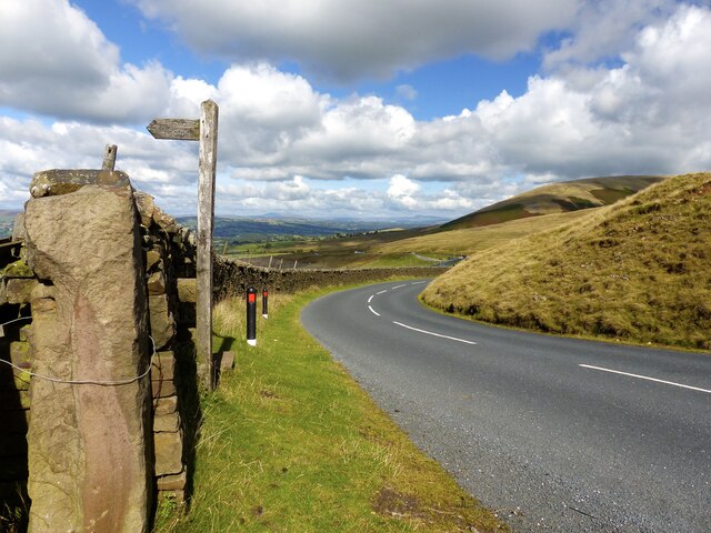
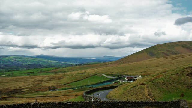
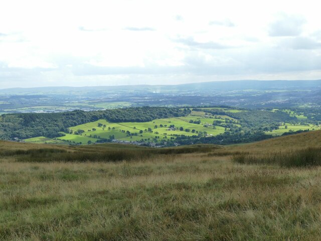
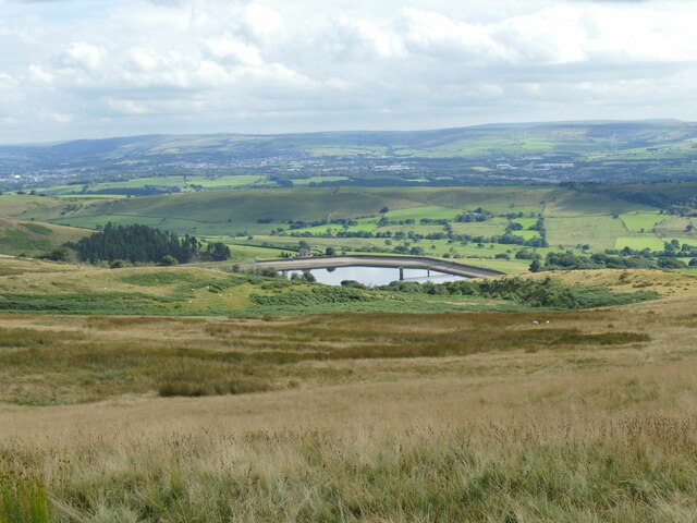
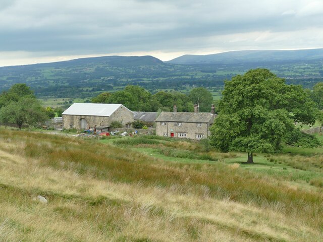
Pendleton Moor, located in Lancashire, England, is a stunning expanse of downs and moorland that stretches over approximately 2,000 acres. Situated near the village of Pendleton, this natural landscape offers visitors a diverse range of habitats and breathtaking views.

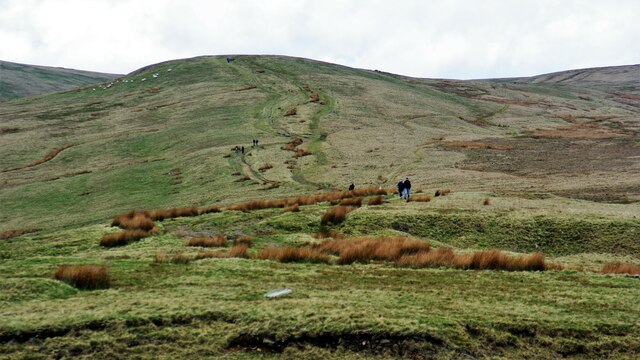
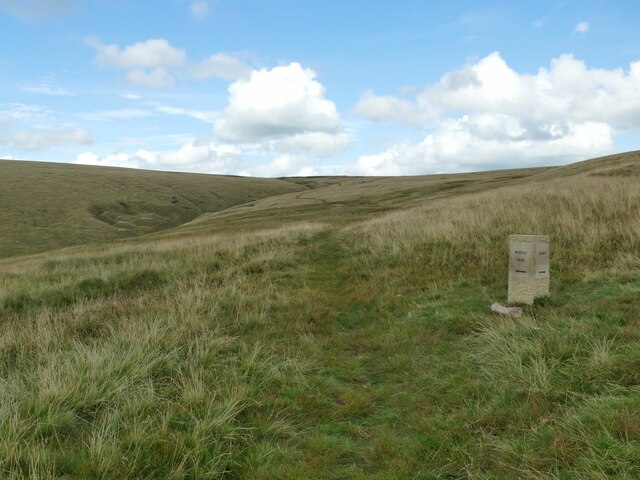
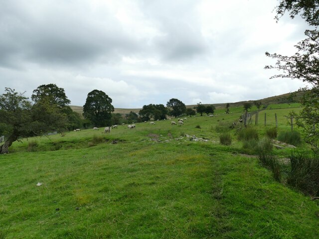
The moorland consists of wide expanses of open heather, interspersed with areas of peat bog and bog pools, creating a unique and picturesque environment. This vast expanse of heathland is home to a variety of plant species, including heather, bilberry, and cotton grass, which add vibrant colors to the landscape throughout the year.

Pendleton Moor is also home to a rich array of wildlife, making it a popular destination for nature enthusiasts. The area supports a diverse range of bird species, including the iconic red grouse, curlew, lapwing, and skylark. Visitors may also spot other wildlife such as adders, common lizards, and small mammals like voles and shrews.

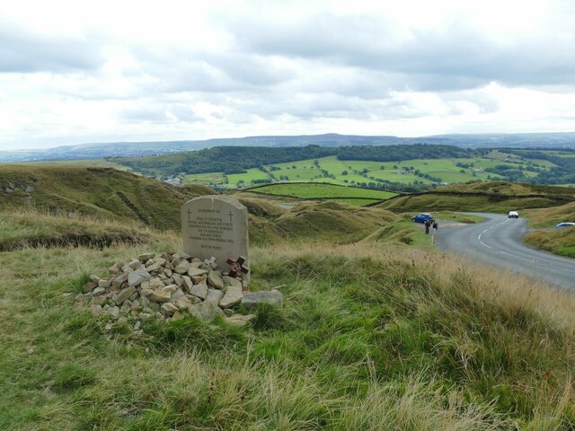
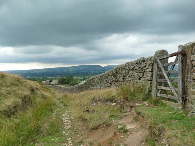
The moorland is crisscrossed with a network of footpaths and trails, allowing visitors to explore its natural beauty on foot or by bike. These paths lead visitors through the unique terrain, providing opportunities to observe the stunning views and wildlife up close.

Pendleton Moor is not only a haven for wildlife but also a place of historical significance. The area contains remnants of ancient settlements, including burial mounds and stone circles, which serve as a reminder of the area's rich past.

Overall, Pendleton Moor offers a tranquil and captivating escape into nature, with its vast downs, moorland, abundant flora and fauna, and historical features. Whether visitors seek a peaceful walk, wildlife spotting, or a journey into the past, this Lancashire gem promises an unforgettable experience.

If you have any feedback on the listing, please let us know in the comments section below.

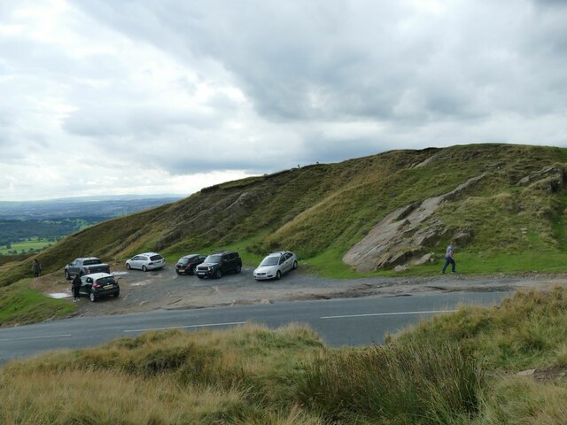
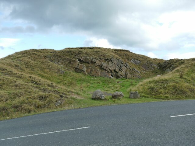
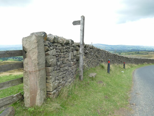
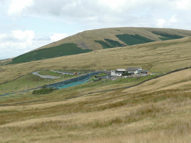
Pendleton Moor Images

Images are sourced within 2km of 53.846218/-2.3430255 or Grid Reference SD7738. Thanks to Geograph Open Source API. All images are credited.

View over Pendleton Moor Looking north along the Clitheroe Road. A public right of way starts at this point and heads north west to Pendleton. Pendle Hill is away to the east, just out of shot.
View over Pendleton Moor
Looking north along the Clitheroe Road. A public right of way starts at this point and heads north west to Pendleton. Pendle Hill is away to the east, just out of shot.
Nick o' Pendle Dry Ski Slope View from the hill top car park
Nick o' Pendle Dry Ski Slope
View from the hill top car park
Path to Pendleton Moor Summit Start of the path from Nick of Pendle car parks on the flanks of Pendle Hill
Path to Pendleton Moor Summit
Start of the path from Nick of Pendle car parks on the flanks of Pendle Hill
Outside Pendleton Pendleton Road veers sharply to the left on the approach to the village.
Outside Pendleton
Pendleton Road veers sharply to the left on the approach to the village.
View south-west from Spence Moor A bit of sunlight on a generally dull day lit up fields on the hillside above Sabden.
View south-west from Spence Moor
A bit of sunlight on a generally dull day lit up fields on the hillside above Sabden.
Direction stone on Badger Wells Hill The stone points to Mearley Moor (left) and Summit (right, i.e. the summit of Pendle).
Direction stone on Badger Wells Hill
The stone points to Mearley Moor (left) and Summit (right, i.e. the summit of Pendle).
Church Clough Reservoir from Apronfull Hill Reservoir levels were low in a very dry summer.
Church Clough Reservoir from Apronfull Hill
Reservoir levels were low in a very dry summer.
The airmen's memorial at Nick of Pendle The memorial is to Australian and American aircrew whose planes crashed in the area in World War II. It does not mark the exact site of either incident, but is conveniently located close to a public road. <a href="https://www.geograph.org.uk/photo/4470275">SD7738 : Memorial at Nick of Pendle</a> gives the full text.
The airmen's memorial at Nick of Pendle
The memorial is to Australian and American aircrew whose planes crashed in the area in World War II. It does not mark the exact site of either incident, but is conveniently located close to a public road. SD7738 : Memorial at Nick of Pendle gives the full text.
Car park at Nick of Pendle An old quarry offers limited parking at the summit of the road from Padiham to Clitheroe (295 metres).
Car park at Nick of Pendle
An old quarry offers limited parking at the summit of the road from Padiham to Clitheroe (295 metres).
Quarry at Nick of Pendle An old stone quarry, one of several around the summit of the road from Padiham to Clitheroe. The borough boundary is immediately to the right of the quarry - Ribble Valley this side, Pendle District beyond.
Quarry at Nick of Pendle
An old stone quarry, one of several around the summit of the road from Padiham to Clitheroe. The borough boundary is immediately to the right of the quarry - Ribble Valley this side, Pendle District beyond.
Gate and stile at Nick of Pendle The path beyond the stile leads down to Pendleton village. On the stone gatepost is a benchmark, shown on the 1912 map as 974.5 feet.
Gate and stile at Nick of Pendle
The path beyond the stile leads down to Pendleton village. On the stone gatepost is a benchmark, shown on the 1912 map as 974.5 feet.
Pendle Hill Ski Slope The slope is on the western flank of the hill on the road over to Padiham. <a href="https://www.geograph.org.uk/photo/774073">SD7739 : The ski run at Pendle Ski Club on the slopes of Pendle Hill</a> shows the artificial slope more clearly; it is just over the gridline into the next square, but the buildings are in this one.
Pendle Hill Ski Slope
The slope is on the western flank of the hill on the road over to Padiham. SD7739 : The ski run at Pendle Ski Club on the slopes of Pendle Hill shows the artificial slope more clearly; it is just over the gridline into the next square, but the buildings are in this one.
Gate on the track to Wymondhouses There is no signage to show it on the present gate (and I went past the gate at first) but the public footpath turns right through the gate at this point and heads north of the farm buildings. There used to be a different gate with signage <a href="https://www.geograph.org.uk/photo/2154722">SD7638 : Path junction above Wymondhouses</a>.
Gate on the track to Wymondhouses
There is no signage to show it on the present gate (and I went past the gate at first) but the public footpath turns right through the gate at this point and heads north of the farm buildings. There used to be a different gate with signage SD7638 : Path junction above Wymondhouses.
Wymondhouses Farm The main house (left of the tree) dates from 1788 and is grade II listed (list entry 1072086) as is an even older house behind the tree in this view (list entry 1165082) <a href="https://www.geograph.org.uk/photo/761719">SD7638 : Farm building at Wymondhouses</a>.
Wymondhouses Farm
The main house (left of the tree) dates from 1788 and is grade II listed (list entry 1072086) as is an even older house behind the tree in this view (list entry 1165082) SD7638 : Farm building at Wymondhouses.
Sheep below Wymondhouses
Footbridge over Pendleton Brook See also <a href="https://www.geograph.org.uk/photo/3326896">SD7639 : Footbridge over Swardean Clough</a>.
Footbridge over Pendleton Brook
Dickinson Farm, Pendleton An 18th century farm and barn at the eastern end of the village, Grade II listed (list entry 1362350).
Dickinson Farm, Pendleton
An 18th century farm and barn at the eastern end of the village, Grade II listed (list entry 1362350).
Former village school, Pendleton The stone inscription above the door says 'National School' and a date 188x (the last digit not quite readable).
Former village school, Pendleton
The stone inscription above the door says 'National School' and a date 188x (the last digit not quite readable).
Show me another place!

Pendleton Moor is located at Grid Ref: SD7738 (Lat: 53.846218, Lng: -2.3430255)

Administrative County: Lancashire

District: Ribble Valley

Police Authority: Lancashire

What 3 Words

///encodes.skimmers.importers. Near Sabden, Lancashire

Nearby Locations

Pendleton Moor

Related Wikis

Sabden

Sabden is a village and civil parish in the Ribble Valley, Lancashire, England. Sabden is located south of Pendle Hill, in a valley about three miles north...

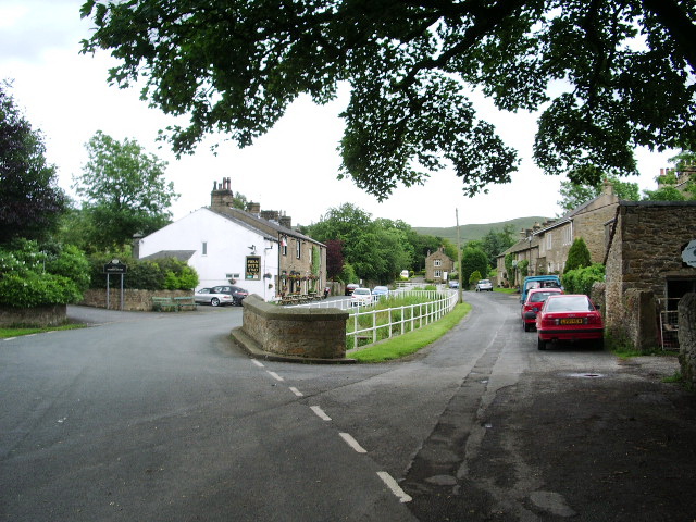
Pendleton, Lancashire

Pendleton is a small village and civil parish in Ribble Valley, within the county of Lancashire, England. It is close to the towns of Whalley and Clitheroe...

Mearley

Mearley is a civil parish in Lancashire, England. The parish is north-west of Pendle Hill, east of Clitheroe, and is in the Ribble Valley district. It...
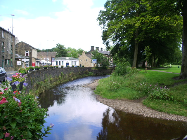
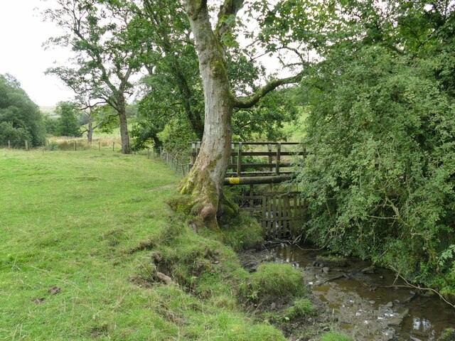
Pendle Water

Pendle Water is a minor river in Lancashire, England. Rising on Pendle Hill, Pendle Water cuts a deep valley between Barley Moor and Spence Hill, where...
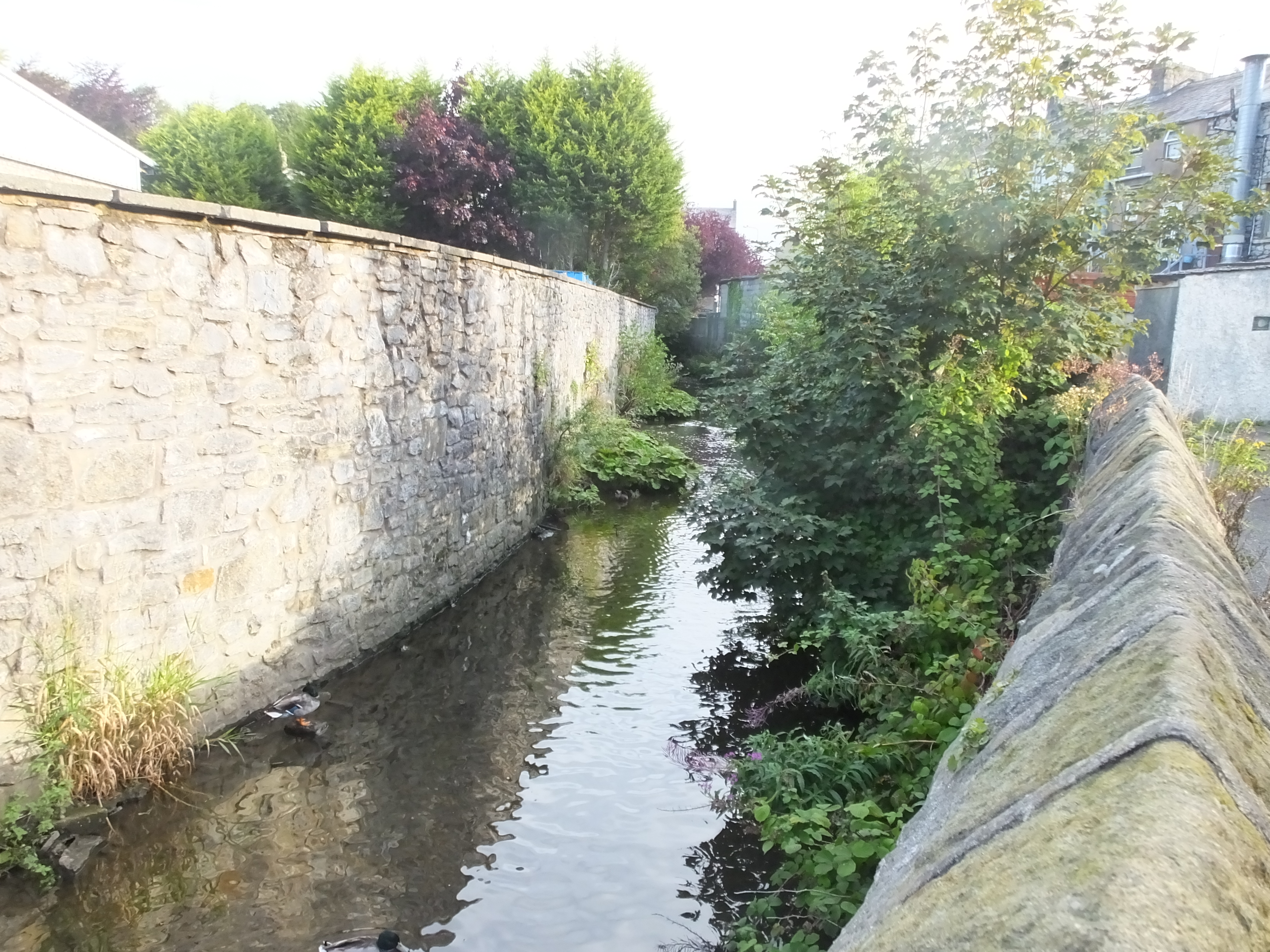
Mearley Brook

Mearley Brook is a minor river in Lancashire, England. It is approximately 4.5 miles (7.2 km) long and has a catchment area of 8.79 square miles (22.77...

Wiswell

Wiswell is a small village and civil parish in the Ribble Valley, Lancashire, England, close to Whalley and Clitheroe at the foot of Wiswell Moor. At the...

Barrow, Lancashire

Barrow is a village and civil parish in the Ribble Valley district in Lancashire, England, situated between Whalley and Clitheroe and bypassed by the A59...

Pendle Hill

Pendle Hill is in the east of Lancashire, England, near the towns of Burnley, Nelson, Colne, Brierfield, Clitheroe and Padiham. Its summit is 557 metres...

Nearby Amenities

Located within 500m of 53.846218,-2.3430255
Historic: memorial
Lat/Long: 53.8484458/-2.3486699
Ford: yes
Lat/Long: 53.8448136/-2.3374232
The data included in this document is from www.openstreetmap.org. The data is made available under ODbL.

Have you been to Pendleton Moor?

Leave your review of Pendleton Moor below (or comments, questions and feedback).