Perrys Rough
Downs, Moorland in Shropshire Wyre Forest
England
Perrys Rough
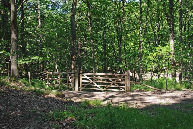
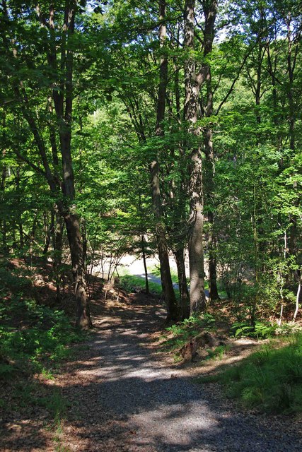
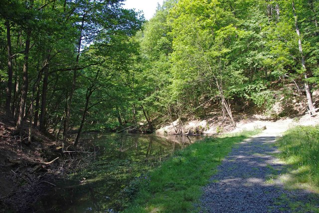
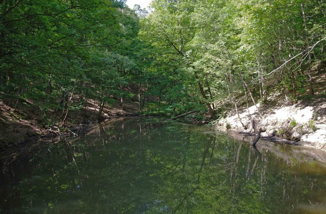
Perrys Rough is a vast natural area located in Shropshire, England, known for its picturesque downs and moorland landscape. Spread over several square kilometers, this stunning landscape offers visitors a unique experience of the region's diverse and rich wildlife.
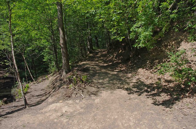
The downs of Perrys Rough are characterized by their rolling hills, covered in a patchwork of vibrant green grasslands. These hills provide breathtaking panoramic views of the surrounding countryside, making it a popular spot for hikers, nature enthusiasts, and photographers alike.
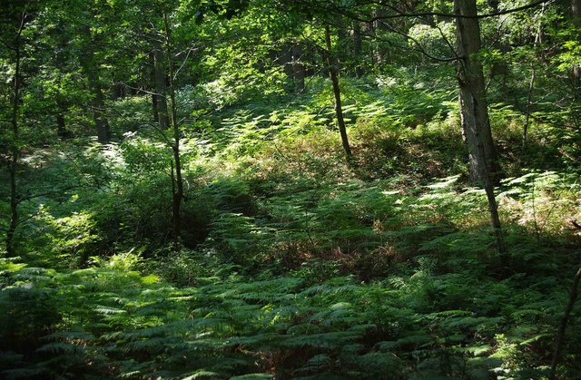
The moorland in Perrys Rough is a haven for various species of flora and fauna. Here, visitors can find an array of heather, gorse, and wildflowers, creating a colorful and picturesque environment. The moorland is also home to a variety of bird species, including the iconic red grouse, which can be spotted darting among the heather.
Perrys Rough is not only a haven for wildlife but also a place of historical significance. The area is dotted with ancient burial mounds and stone circles, dating back to the Neolithic and Bronze Age periods. These archaeological sites offer a glimpse into the region's rich history and provide an opportunity for visitors to explore the area's ancient past.
Overall, Perrys Rough in Shropshire is a captivating natural landscape that combines the beauty of downs and moorland. Whether it's for a leisurely walk, wildlife spotting, or immersing oneself in history, this pristine area offers visitors an unforgettable experience in the heart of the English countryside.
If you have any feedback on the listing, please let us know in the comments section below.
Perrys Rough Images
Images are sourced within 2km of 52.385833/-2.3334816 or Grid Reference SO7776. Thanks to Geograph Open Source API. All images are credited.


Perrys Rough is located at Grid Ref: SO7776 (Lat: 52.385833, Lng: -2.3334816)
Administrative County: Worcestershire
District: Wyre Forest
Police Authority: West Mercia
What 3 Words
///moons.tailed.mixes. Near Bewdley, Worcestershire
Nearby Locations
Related Wikis

Dowles
Dowles is a hamlet in the civil parish of Upper Arley, in the Wyre Forest district, in the county of Worcestershire, England. It is about 3 miles from...

Dowles Brook
Dowles Brook flows through the heart of the Wyre Forest, into the former civil parish of Dowles and into the River Severn. == History == In 1902, ornithologist...

Northwood Halt railway station
Northwood Halt is an unstaffed request stop on the Severn Valley Railway in Worcestershire, situated a little to the north of Bewdley on the outskirts...

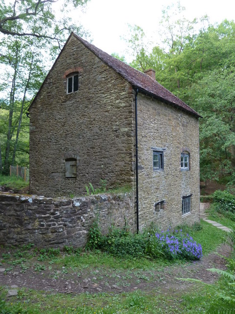
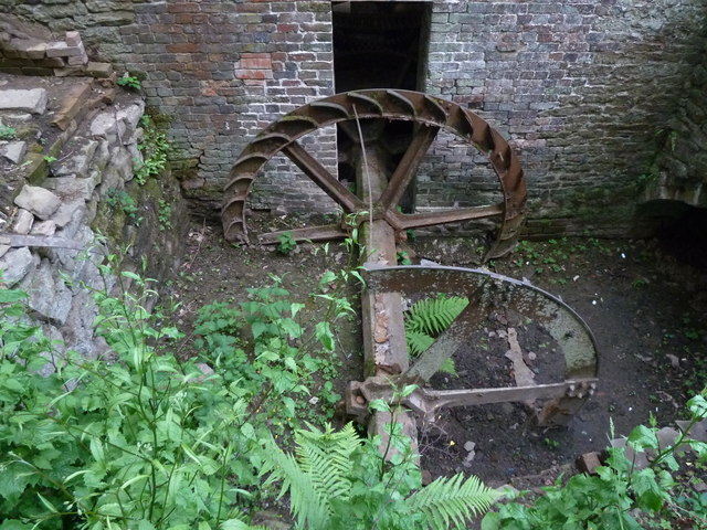
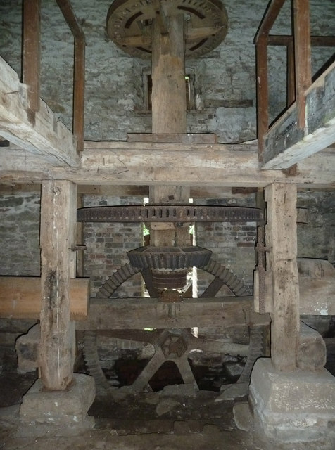
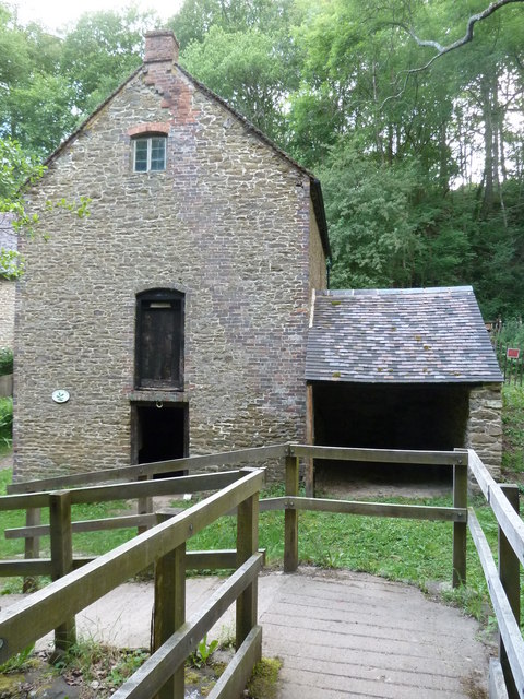
Knowles Mill
Knowles Mill is the remains of an eighteenth-century water-powered grain mill, located in the Wyre Forest in Worcestershire, England. The mill has been...
Nearby Amenities
Located within 500m of 52.385833,-2.3334816Have you been to Perrys Rough?
Leave your review of Perrys Rough below (or comments, questions and feedback).