Greatwood Heath
Downs, Moorland in Staffordshire Stafford
England
Greatwood Heath
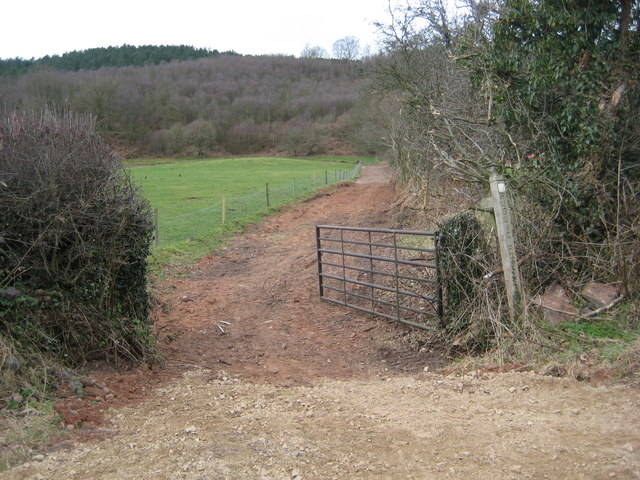
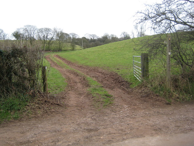
Greatwood Heath is a picturesque area located in Staffordshire, England. It is characterized by its stunning downs and moorland landscapes, offering visitors a unique and tranquil experience. Stretching across a vast area, Greatwood Heath boasts diverse flora and fauna, making it a haven for nature enthusiasts.
The downs of Greatwood Heath are known for their rolling hills and expansive grasslands. These areas provide breathtaking panoramic views of the surrounding countryside. The downs are typically covered in a carpet of vibrant wildflowers during the spring and summer months, attracting a plethora of butterflies and bees.
In contrast, the moorland of Greatwood Heath offers a rugged and untamed beauty. With its heather-clad hills and rocky outcrops, this area provides a captivating backdrop for hikers and photographers alike. Moorland birds such as curlews and lapwings can often be spotted soaring across the skies.
Greatwood Heath is also home to a variety of wildlife, including deer, foxes, and numerous bird species. The area is a designated Site of Special Scientific Interest (SSSI) due to its ecological significance. Visitors can explore the many walking trails and nature reserves within Greatwood Heath, immersing themselves in its natural wonders.
For those seeking outdoor activities, Greatwood Heath offers opportunities for horse riding, cycling, and picnicking. With its peaceful and unspoiled surroundings, it is an ideal destination for those looking to escape the hustle and bustle of city life.
Overall, Greatwood Heath in Staffordshire is a hidden gem, offering a diverse and captivating landscape for nature enthusiasts and outdoor adventurers to explore and enjoy.
If you have any feedback on the listing, please let us know in the comments section below.
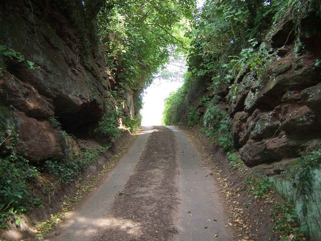
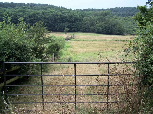
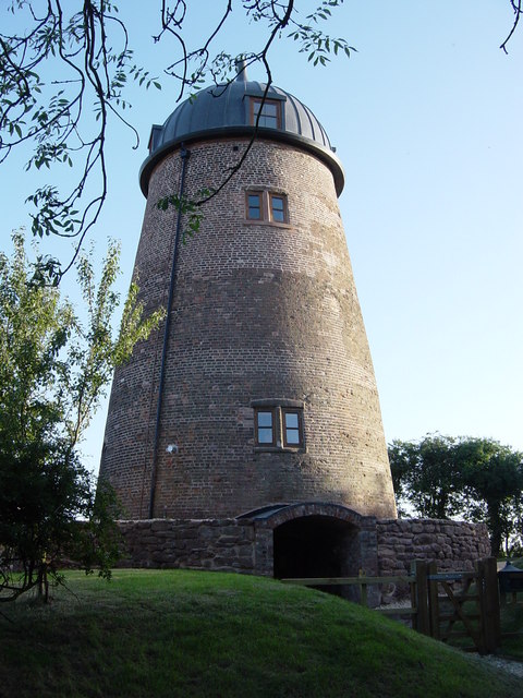
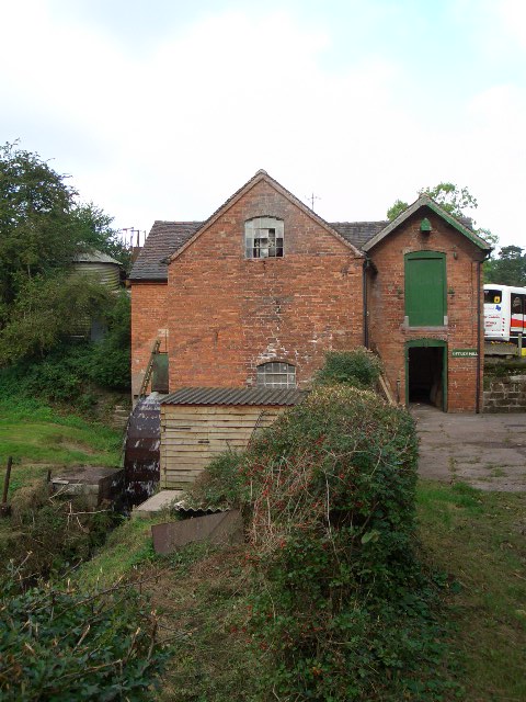
Greatwood Heath Images
Images are sourced within 2km of 52.869202/-2.3373724 or Grid Reference SJ7730. Thanks to Geograph Open Source API. All images are credited.


Greatwood Heath is located at Grid Ref: SJ7730 (Lat: 52.869202, Lng: -2.3373724)
Administrative County: Staffordshire
District: Stafford
Police Authority: Staffordshire
What 3 Words
///stews.magazine.hydration. Near Eccleshall, Staffordshire
Nearby Locations
Related Wikis

Outlands, Staffordshire
Outlands is a hamlet in the English county of Staffordshire. It lies 1 km eas of Bishop's Offley. == External links == Map sources for Outlands, Staffordshire
Armsdale
Armsdale is a village in Staffordshire, England. Population details for the 2011 census can be found under Eccleshall.
Jackson's Coppice and Marsh
Jackson's Coppice and Marsh is a nature reserve of the Staffordshire Wildlife Trust. It is along the River Sow, near the village of Bishop's Offley and...
Croxton, Staffordshire
Croxton is a village on the B5026 between Eccleshall and Loggerheads. Population details for the 2011 census can be found under Eccleshall. It is notable...

Adbaston
Adbaston is a village and a civil parish in the English county of Staffordshire. == Location == The village is 13 miles (20.9 km) north east of the town...
Offleyhay
Offleyhay is a village in Staffordshire, England. The population as taken at the 2011 census can be found under Eccleshall. == References ==

Tunstall, Stafford
Tunstall is a hamlet near Eccleshall in the borough of Stafford in Staffordshire, England. In 1870–72 it had a population of 72. Tunstall was recorded...

Cop Mere
Cop Mere is one of the largest natural bodies of water in Staffordshire, England, covering 42 acres (17 ha). It has been designated a SSSI as an oligotrophic...
Nearby Amenities
Located within 500m of 52.869202,-2.3373724Have you been to Greatwood Heath?
Leave your review of Greatwood Heath below (or comments, questions and feedback).