Jean Fields
Downs, Moorland in Yorkshire South Lakeland
England
Jean Fields

Jean Fields is a picturesque area located in the heart of Yorkshire, England. Nestled amidst the stunning landscapes of the Yorkshire Downs and Moorland, this region boasts a unique blend of natural beauty and cultural heritage. Jean Fields has gained recognition for its idyllic charm, making it a popular destination for nature lovers, hikers, and history enthusiasts alike.
The Yorkshire Downs, with their rolling hills and vast open spaces, provide a breathtaking backdrop for Jean Fields. Visitors can indulge in long walks, horseback riding, or cycling through the scenic trails that wind their way across the countryside. The moorland, on the other hand, offers a rugged and wild beauty, with expansive heather-covered hills and dramatic rock formations.
In addition to its natural wonders, Jean Fields is also home to several historical sites and landmarks. The area is dotted with charming villages and hamlets, each with its own unique character and a rich history to explore. One notable attraction is the ruins of an ancient castle, which stands as a testament to the area's medieval past.
For those seeking a taste of local culture, Jean Fields hosts various events throughout the year, including traditional festivals, craft fairs, and farmers' markets. The region is known for its agricultural heritage, and visitors can sample locally produced delicacies and fresh produce at the market stalls.
Overall, Jean Fields, Yorkshire (Downs, Moorland) offers a perfect blend of natural beauty, historical charm, and cultural experiences, making it an ideal destination for anyone looking to immerse themselves in the wonders of Yorkshire.
If you have any feedback on the listing, please let us know in the comments section below.
Jean Fields Images
Images are sourced within 2km of 54.271723/-2.3508823 or Grid Reference SD7786. Thanks to Geograph Open Source API. All images are credited.


Jean Fields is located at Grid Ref: SD7786 (Lat: 54.271723, Lng: -2.3508823)
Division: West Riding
Administrative County: Cumbria
District: South Lakeland
Police Authority: Cumbria
What 3 Words
///trash.coolest.shame. Near Sedbergh, Cumbria
Nearby Locations
Related Wikis
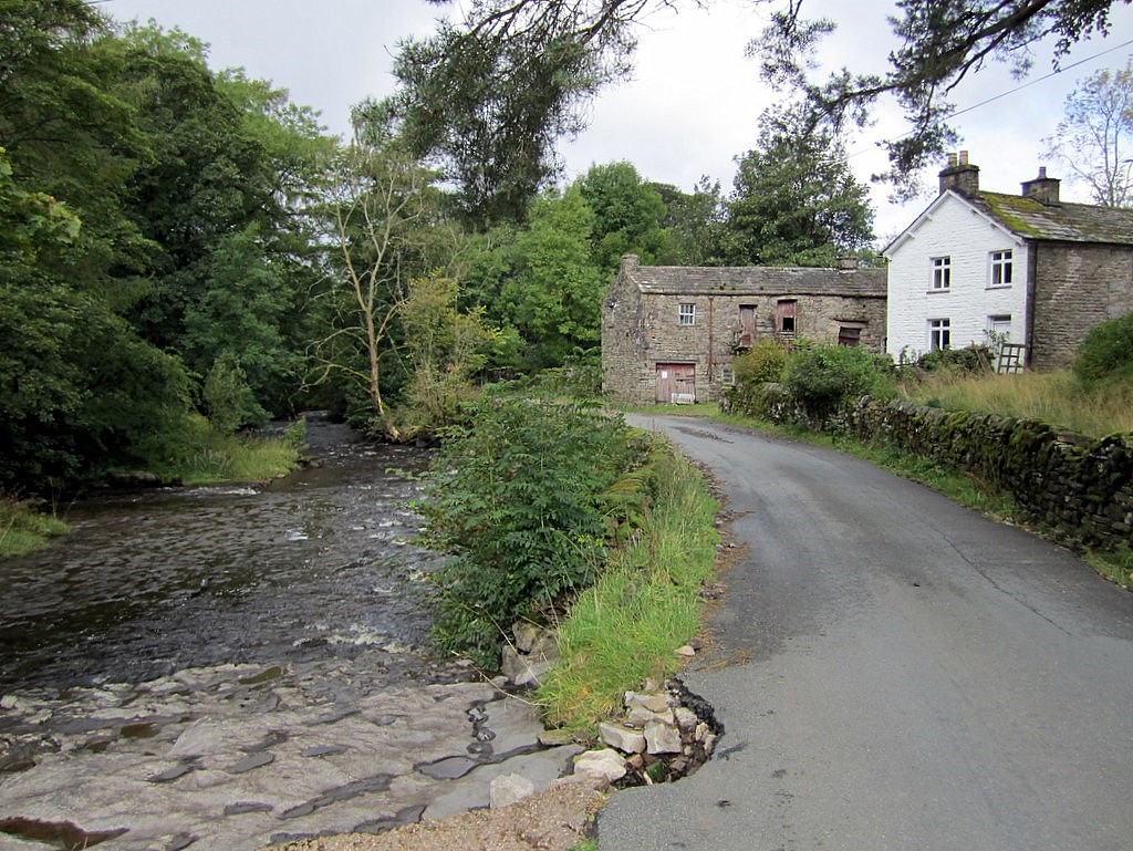
Stone House, Cumbria
Stone House is a locality at Dent Head on the River Dee, in the county of Cumbria, England, to the south-east of Cowgill and to the north-west of Newby...

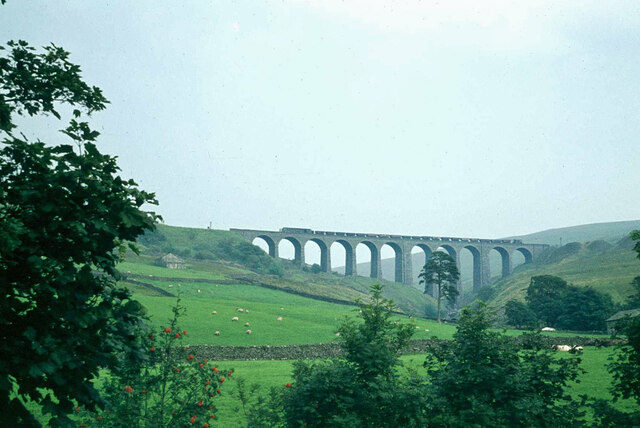
Arten Gill Viaduct
Arten Gill Viaduct is an eleven-arch railway bridge in Dentdale, Cumbria, England. The viaduct carries the Settle to Carlisle railway line over Artengill...

Cowgill, Cumbria
Cowgill is a village in Westmorland and Furness, Cumbria, England. It is within the historic boundaries of the West Riding of Yorkshire, and is located...

Dent railway station
Dent is a railway station on the Settle and Carlisle Line, which runs between Carlisle and Leeds via Settle. The station, situated 58 miles 29 chains...
Nearby Amenities
Located within 500m of 54.271723,-2.3508823Have you been to Jean Fields?
Leave your review of Jean Fields below (or comments, questions and feedback).