Gauber Limekiln Pasture
Downs, Moorland in Yorkshire Craven
England
Gauber Limekiln Pasture

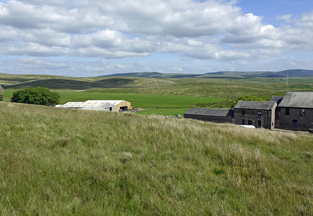
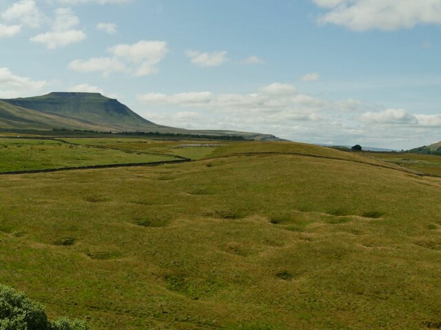
Gauber Limekiln Pasture is a picturesque and expansive area located in the heart of Yorkshire, England. Nestled amidst the stunning landscape of the Yorkshire Downs and Moorland, this vast pasture offers visitors a glimpse into the region's rich history and natural beauty.
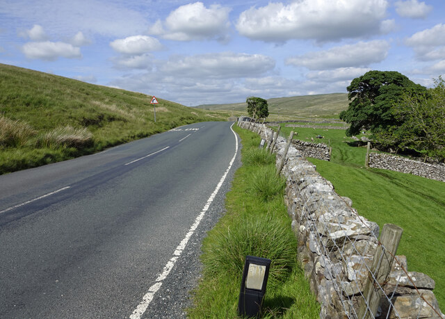
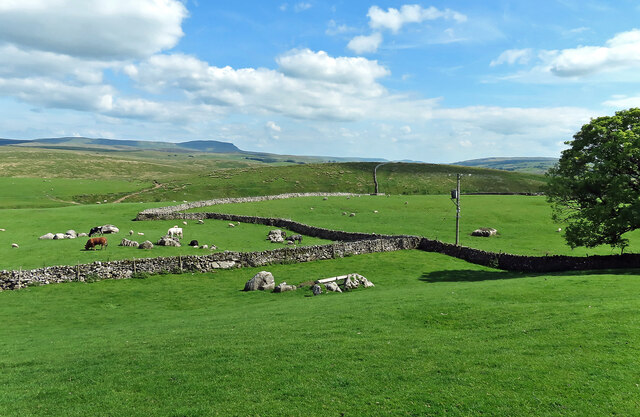
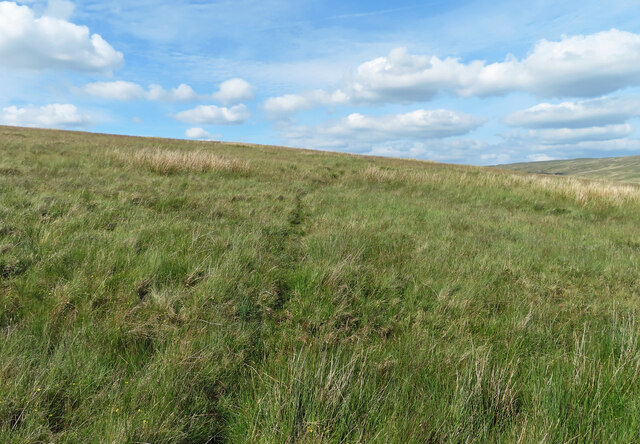
Covering an area of approximately 500 acres, Gauber Limekiln Pasture is renowned for its rolling hills, lush green meadows, and abundant wildlife. The area is dotted with traditional stone walls, which not only serve to enclose the pasture but also provide a sense of rustic charm. These walls act as a reminder of the region's agricultural heritage and are a testament to the hard work and dedication of the local farming community.
One of the highlights of Gauber Limekiln Pasture is the presence of several limekiln structures, which date back to the 19th century. These kilns were once used to burn limestone, producing quicklime that was then used as a fertilizer or in the manufacturing of mortar. Today, the kilns serve as historical landmarks, offering visitors a glimpse into the area's industrial past.
The pasture is also home to a diverse range of flora and fauna. Wildflowers, such as heather and bilberry, dot the landscape, adding bursts of color to the green expanse. Visitors may also spot various bird species, including curlews, lapwings, and red grouse, as well as mammals like hares and deer.
Overall, Gauber Limekiln Pasture is a must-visit destination for nature enthusiasts, history buffs, and those seeking a tranquil escape in the breathtaking Yorkshire countryside.
If you have any feedback on the listing, please let us know in the comments section below.
Gauber Limekiln Pasture Images
Images are sourced within 2km of 54.205471/-2.3562226 or Grid Reference SD7678. Thanks to Geograph Open Source API. All images are credited.


Gauber Limekiln Pasture is located at Grid Ref: SD7678 (Lat: 54.205471, Lng: -2.3562226)
Division: West Riding
Administrative County: North Yorkshire
District: Craven
Police Authority: North Yorkshire
What 3 Words
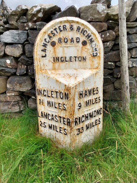
///ember.bloodshot.tall. Near Ingleton, North Yorkshire
Nearby Locations
Related Wikis

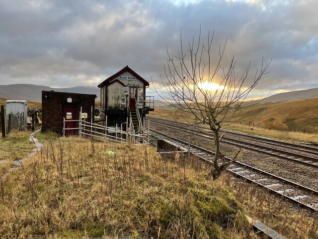
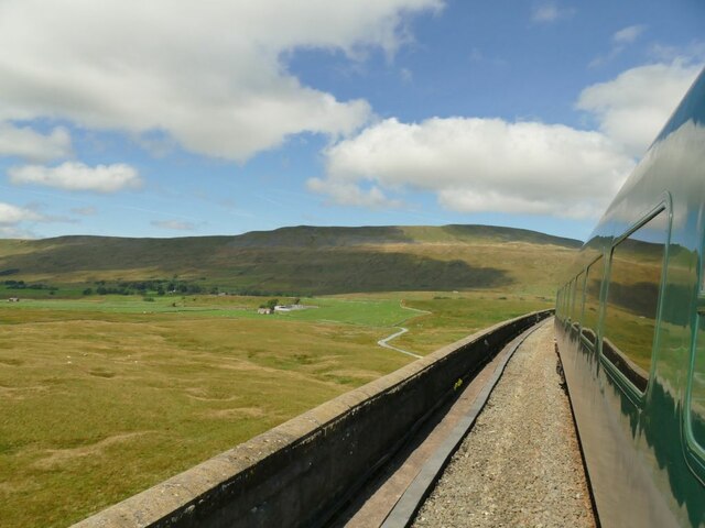
Ribblehead railway station
Ribblehead is a railway station on the Settle and Carlisle Line, which runs between Carlisle and Leeds via Settle. The station, situated 52 miles 17 chains...

Ribblehead Quarry
Ribblehead Quarry is a former limestone quarry next to Ribblehead railway station in the Yorkshire Dales National Park, North Yorkshire, England. It had...

Ribblehead Viaduct
The Ribblehead Viaduct or Batty Moss Viaduct carries the Settle–Carlisle railway across Batty Moss in the Ribble Valley at Ribblehead, in North Yorkshire...

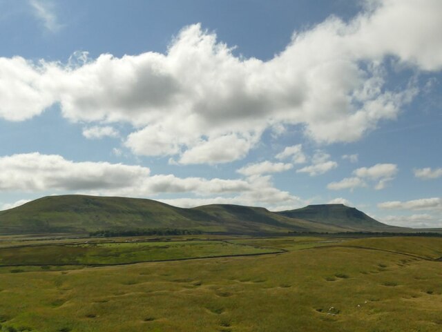
Ribblehead
Ribblehead is the area of moorland at the head of the River Ribble in the area known as Ribblesdale, in the Yorkshire Dales National Park, England. Ribblehead...
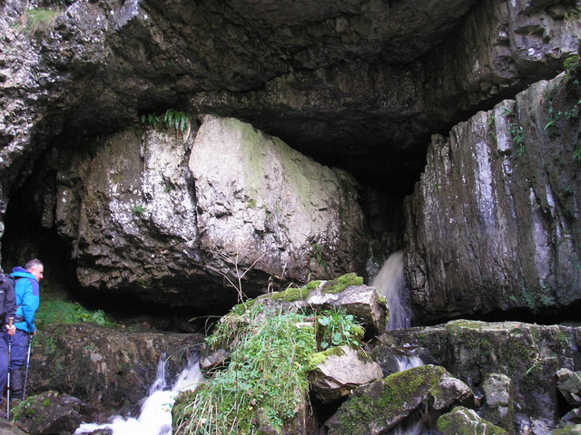
Great Douk Cave
Great Douk Cave is a shallow cave system lying beneath the limestone bench of Ingleborough in Chapel-le-Dale, North Yorkshire, England. It is popular with...

Ling Gill
Ling Gill is a gill (or narrow valley) in the Yorkshire Dales in North Yorkshire, England. Cam Beck, a tributary of the River Ribble, flows through the...
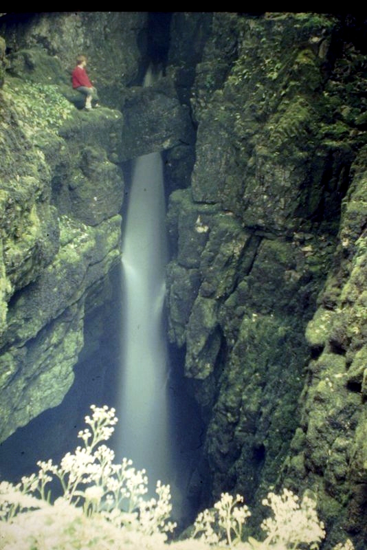
Weathercote Cave
Weathercote Cave is a natural solutional cave in Chapel-le-Dale, North Yorkshire, England. It has been renowned as a natural curiosity since the eighteenth...

Alum Pot
Alum Pot is a pothole with a large open shaft at a surface elevation of 343 metres (1,125 ft) on the eastern flanks of Simon Fell, North Yorkshire, England...
Nearby Amenities
Located within 500m of 54.205471,-2.3562226Have you been to Gauber Limekiln Pasture?
Leave your review of Gauber Limekiln Pasture below (or comments, questions and feedback).