Gauber Little Pasture
Downs, Moorland in Yorkshire Craven
England
Gauber Little Pasture

Gauber Little Pasture is a picturesque landscape located in the county of Yorkshire, England. Situated amidst the stunning Yorkshire Downs and Moorland, this area offers a diverse range of natural features and a tranquil atmosphere.
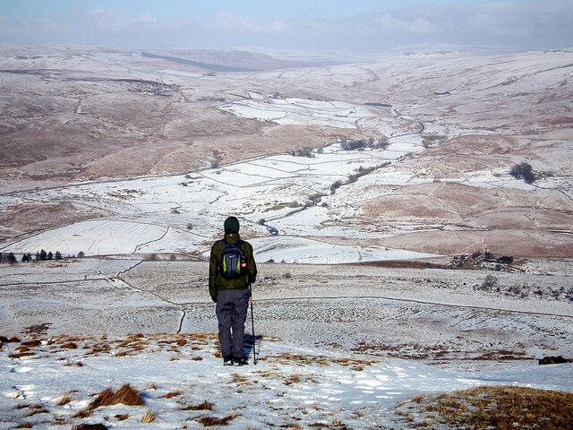
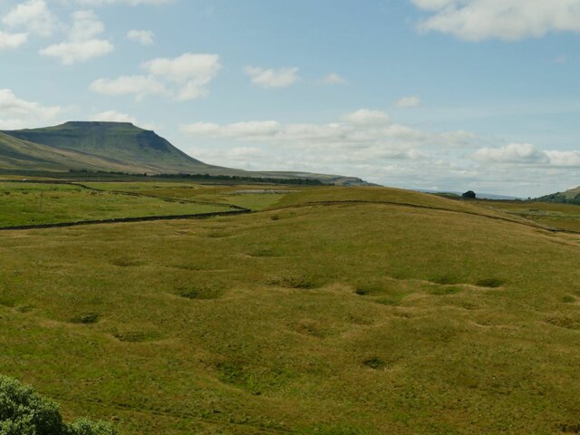
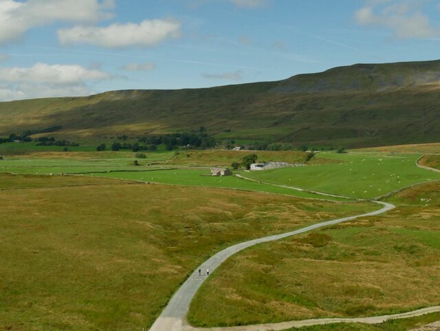
Covering an expansive area of approximately 500 acres, Gauber Little Pasture is a combination of rolling hills, open fields, and scattered woodlands. The terrain is characterized by its undulating topography, with gentle slopes and occasional steep inclines, providing breathtaking views of the surrounding countryside.
The pasture is home to a variety of flora and fauna, including indigenous species such as heather, bilberry, and cotton grass. These plants create a vibrant and colorful landscape, especially during the summer months. The rich biodiversity also supports a diverse array of wildlife, including birds, small mammals, and occasional sightings of larger animals like deer and foxes.
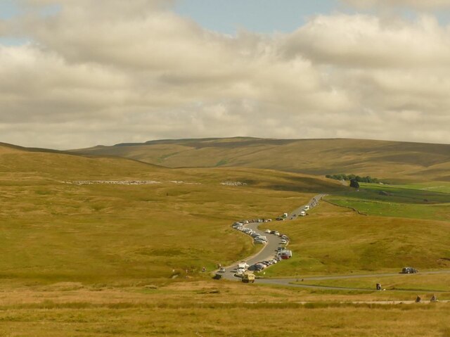
Walking and hiking enthusiasts are drawn to Gauber Little Pasture for its extensive network of footpaths and trails. Visitors can explore the area on foot, appreciating the peaceful ambiance and panoramic vistas. The well-maintained paths offer accessibility for all levels of walkers, making it an ideal destination for families and nature enthusiasts alike.
Gauber Little Pasture is also a popular spot for outdoor activities such as picnicking, birdwatching, and photography. The unspoiled nature of the landscape provides ample opportunities for capturing stunning images and immersing oneself in the beauty of the natural surroundings.
Overall, Gauber Little Pasture is a hidden gem within the Yorkshire Downs and Moorland, offering a serene and picturesque escape for those seeking to connect with nature and enjoy the tranquility of the English countryside.
If you have any feedback on the listing, please let us know in the comments section below.
Gauber Little Pasture Images
Images are sourced within 2km of 54.205738/-2.3689343 or Grid Reference SD7678. Thanks to Geograph Open Source API. All images are credited.


Gauber Little Pasture is located at Grid Ref: SD7678 (Lat: 54.205738, Lng: -2.3689343)
Division: West Riding
Administrative County: North Yorkshire
District: Craven
Police Authority: North Yorkshire
What 3 Words
///sweetened.kilts.insulated. Near Ingleton, North Yorkshire
Nearby Locations
Related Wikis

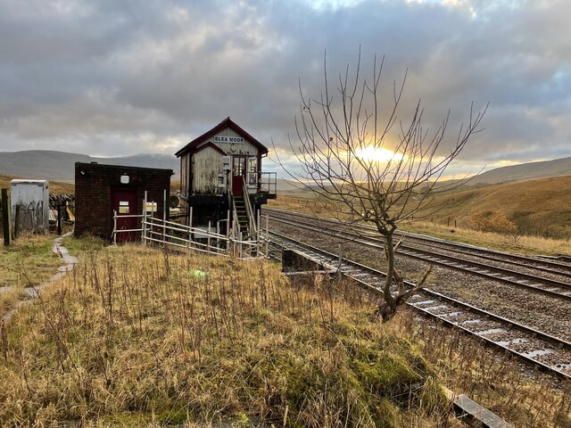
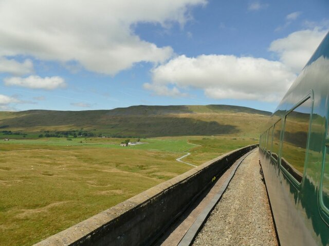
Ribblehead Viaduct
The Ribblehead Viaduct or Batty Moss Viaduct carries the Settle–Carlisle railway across Batty Moss in the Ribble Valley at Ribblehead, in North Yorkshire...

Ribblehead railway station
Ribblehead is a railway station on the Settle and Carlisle Line, which runs between Carlisle and Leeds via Settle. The station, situated 52 miles 17 chains...

Ribblehead Quarry
Ribblehead Quarry is a former limestone quarry next to Ribblehead railway station in the Yorkshire Dales National Park, North Yorkshire, England. It had...

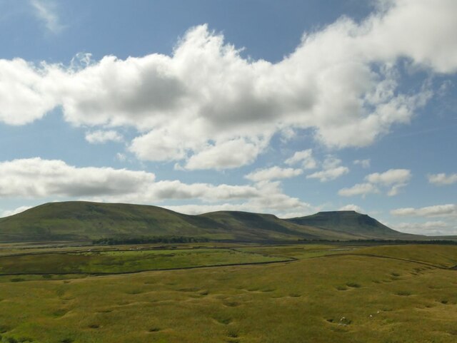
Ribblehead
Ribblehead is the area of moorland at the head of the River Ribble in the area known as Ribblesdale, in the Yorkshire Dales National Park, England. Ribblehead...
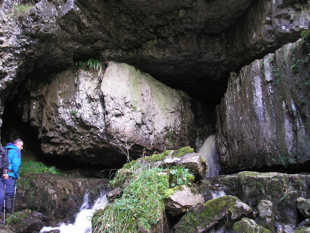
Great Douk Cave
Great Douk Cave is a shallow cave system lying beneath the limestone bench of Ingleborough in Chapel-le-Dale, North Yorkshire, England. It is popular with...
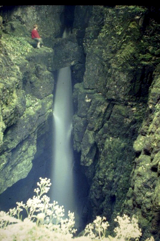
Weathercote Cave
Weathercote Cave is a natural solutional cave in Chapel-le-Dale, North Yorkshire, England. It has been renowned as a natural curiosity since the eighteenth...

Chapel-le-Dale
Chapel-le-Dale is a hamlet in the civil parish of Ingleton, North Yorkshire, England. It is in the Yorkshire Dales National Park in a valley of the same...

Chapel-le-Dale (valley)
Chapel-le-Dale is west-facing valley in the Yorkshire Dales, England. The U-shaped valley of Chapel-le-Dale is one of the few which drain westwards towards...
Nearby Amenities
Located within 500m of 54.205738,-2.3689343Have you been to Gauber Little Pasture?
Leave your review of Gauber Little Pasture below (or comments, questions and feedback).