Brae of Glenbervie

Downs, Moorland in Kincardineshire

Scotland

Brae of Glenbervie

Forestry road, Fetteresso forest
Forestry road, Fetteresso forest Credit: Steven Brown

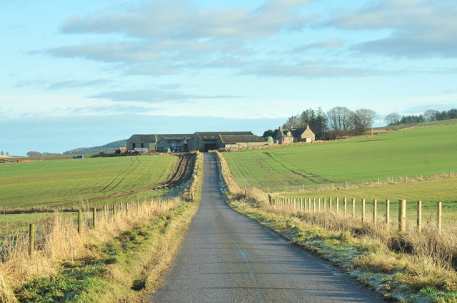
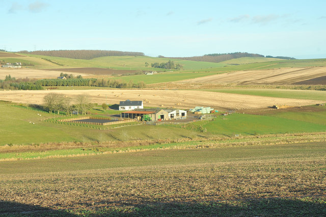
Brae of Glenbervie is a picturesque area located in Kincardineshire, Scotland. Situated amidst rolling hills and vast moorlands, it offers a serene and idyllic retreat for nature enthusiasts and those seeking tranquility.

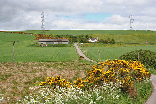
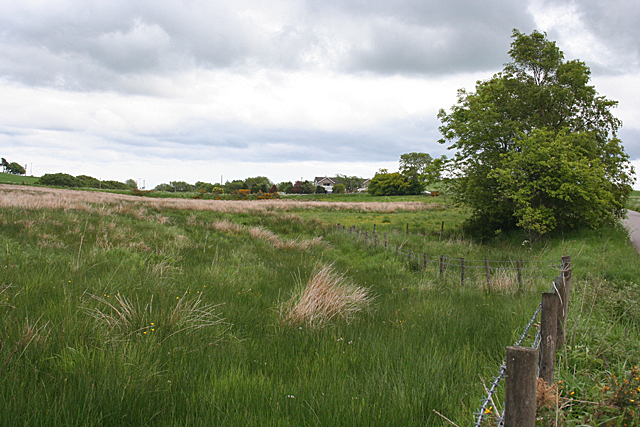
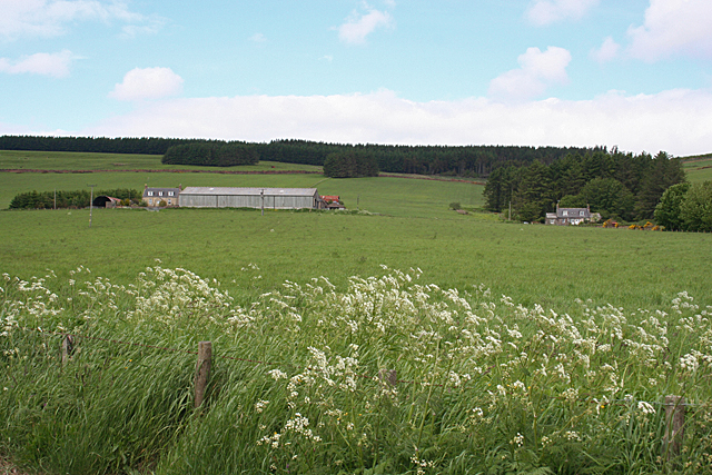
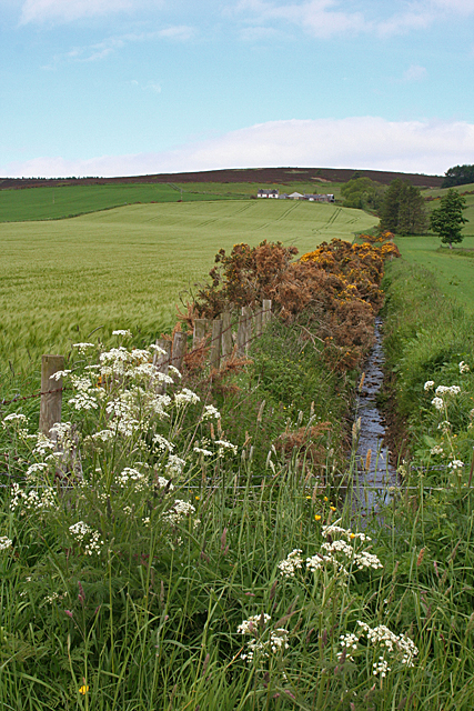
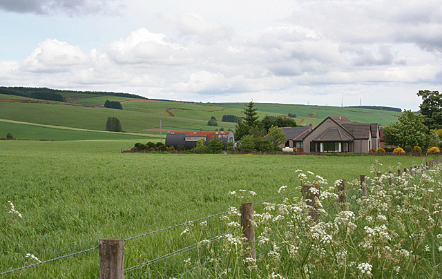
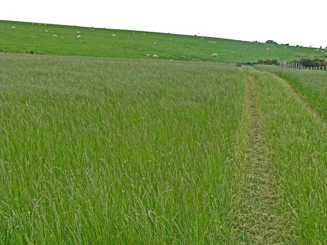
The landscape of Brae of Glenbervie is characterized by gentle slopes and undulating downs, providing breathtaking views of the surrounding countryside. The area is adorned with heather-covered moorlands, which burst into vibrant hues of purple during the summer months. The moors are home to a diverse range of flora and fauna, including rare species of birds, insects, and wildflowers.

The climate of Brae of Glenbervie is typically cool and temperate, with mild summers and relatively mild winters. The area experiences a moderate amount of rainfall throughout the year, nourishing the fertile soil and contributing to the lush vegetation.

The region is also known for its rich history and heritage. There are several ancient archaeological sites and ruins in the vicinity, dating back to prehistoric times. These sites offer a glimpse into the area's past and provide valuable insights into the lives of its early inhabitants.

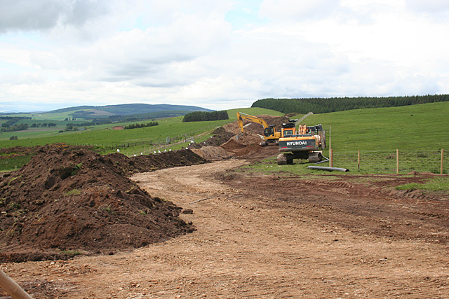
For outdoor enthusiasts, Brae of Glenbervie offers numerous opportunities for activities such as hiking, birdwatching, and photography. The area is crisscrossed by a network of well-maintained trails, allowing visitors to explore the moorland and enjoy the stunning natural beauty at their own pace.

In conclusion, Brae of Glenbervie is a captivating and unspoiled destination in Kincardineshire, boasting breathtaking downs and moorlands. Its serene atmosphere, rich biodiversity, and historical significance make it a must-visit location for nature lovers and history enthusiasts alike.

If you have any feedback on the listing, please let us know in the comments section below.

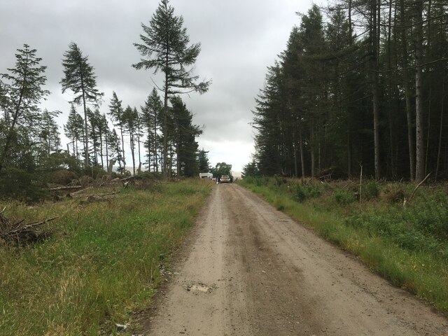
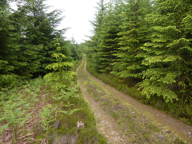
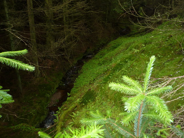
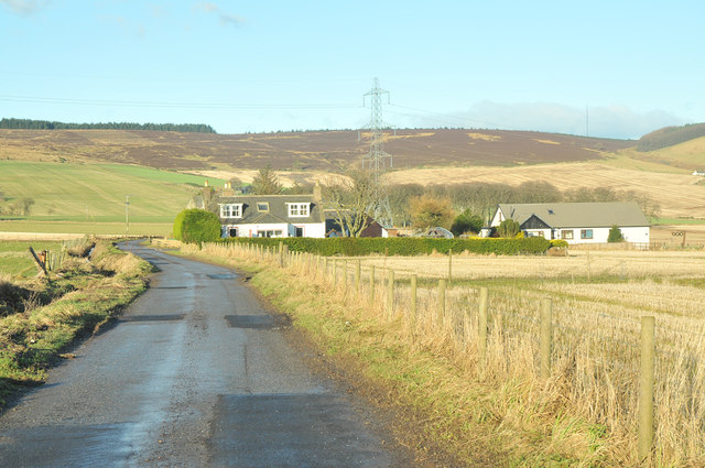
Brae of Glenbervie Images

Images are sourced within 2km of 56.95111/-2.3925238 or Grid Reference NO7684. Thanks to Geograph Open Source API. All images are credited.

Forestry road, Fetteresso forest
A track in the Fetteresso Forest
Foresters Grain A burn in the Fetteresso forest
Foresters Grain
A burn in the Fetteresso forest
An interesting sign in the Burn of Guinea at the Bridge of Bogincaber
Farm road to Cot Bank
Minor road near Goosecruives
Minor road near Jacksbank
Waters Farm
Waters Farm
Minor road near Buckie's Mill
Upper Quithel Another farm with a fine situation part-way up a south-facing slope. It might be a different description in a wild winter storm, or course.
Upper Quithel
Another farm with a fine situation part-way up a south-facing slope. It might be a different description in a wild winter storm, or course.
Construction Site It was a bit of a surprise to come across this near the top of a hill, but a nearby sign advises of construction work associated with a wind farm, so perhaps it's part of that.
Construction Site
It was a bit of a surprise to come across this near the top of a hill, but a nearby sign advises of construction work associated with a wind farm, so perhaps it's part of that.
Killer Burn This is actually more the boggy land at the foot of the Killer Burn than the burn itself.
Killer Burn
This is actually more the boggy land at the foot of the Killer Burn than the burn itself.
East Town Farm In Scots, the suffix '-ton' or '-toun' or '-town' doesn't necessarily mean an urban settlement. It is a common element in the names of farms. This is another farm with a pleasant situation in summer, if not in winter.
East Town Farm
In Scots, the suffix '-ton' or '-toun' or '-town' doesn't necessarily mean an urban settlement. It is a common element in the names of farms. This is another farm with a pleasant situation in summer, if not in winter.
Cleuchhead Cleuchhead stands well above the road on the Brae of Glenbervie, with the Hill of Bogjurgan sheltering it from the north.
Cleuchhead
Cleuchhead stands well above the road on the Brae of Glenbervie, with the Hill of Bogjurgan sheltering it from the north.
New Bungalow near Peathillock This is one of three new houses by the roadside. The Brae of Glenbervie is to the left.
New Bungalow near Peathillock
This is one of three new houses by the roadside. The Brae of Glenbervie is to the left.
Mains of Inchbreck The steadings here have all been renovated and converted to housing.
Mains of Inchbreck
The steadings here have all been renovated and converted to housing.
Bridge of Bogincaber The bridge carries the road across the Burn of Guinea. Compare with <a href="https://www.geograph.org.uk/photo/2564787">NO7483 : An interesting sign in the Burn of Guinea at the Bridge of Bogincaber</a>. Presumably the ban on ball games has been lifted.
Bridge of Bogincaber
The bridge carries the road across the Burn of Guinea. Compare with NO7483 : An interesting sign in the Burn of Guinea at the Bridge of Bogincaber. Presumably the ban on ball games has been lifted.
Quithel Junction A road junction with the farm of Quithel just visible on the right.
Quithel Junction
A road junction with the farm of Quithel just visible on the right.
Show me another place!

Brae of Glenbervie is located at Grid Ref: NO7684 (Lat: 56.95111, Lng: -2.3925238)

Unitary Authority: Aberdeenshire

Police Authority: North East

What 3 Words

///shameless.wells.awakening. Near Stonehaven, Aberdeenshire

Nearby Locations

Brae of Glenbervie

Related Wikis

Bogjurgan Hill

Bogjurgan Hill is an elevated landform at the southern verge of the Fetteresso Forest in Aberdeenshire, Scotland. Its top is at an elevation of 299 metres...

Fetteresso Forest

The Fetteresso Forest is a woodland that is principally coniferous situated in the Mounth range of the Grampian Mountains in Aberdeenshire, Scotland. The...

Craiginour

Craiginour is a hill located near Cowie Water in Stonehaven, Aberdeenshire, Scotland. Its summit is at 355 metres (1,165 ft). == References ==

Carmont railway station

Carmont railway station, on the Aberdeen Railway, served the rural area of Carmont in Aberdeenshire, Scotland from 1855 to 1964. == History == The station...

Nearby Amenities

Located within 500m of 56.95111,-2.3925238
Power: pole
Lat/Long: 56.9477389/-2.3965852
Power: pole
Lat/Long: 56.9482784/-2.3968402
Power: pole
Lat/Long: 56.9488784/-2.3971153
Power: pole
Lat/Long: 56.9494457/-2.3973725
Power: pole
Lat/Long: 56.9501195/-2.3976853
Power: pole
Lat/Long: 56.9506904/-2.3969511
Power: pole
Lat/Long: 56.9512033/-2.3962879
Power: pole
Lat/Long: 56.9517404/-2.3955693
Power: pole
Lat/Long: 56.9522605/-2.3948795
Power: pole
Lat/Long: 56.9528072/-2.3941653
Power: pole
Lat/Long: 56.9501122/-2.3986789
Power: pole
Lat/Long: 56.9501086/-2.3998079
Cleuchhead
Place: isolated_dwelling
Lat/Long: 56.9529594/-2.3943649
The data included in this document is from www.openstreetmap.org. The data is made available under ODbL.

Have you been to Brae of Glenbervie?

Leave your review of Brae of Glenbervie below (or comments, questions and feedback).