Top of South House Moor
Downs, Moorland in Yorkshire Craven
England
Top of South House Moor
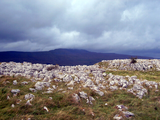
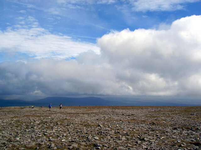
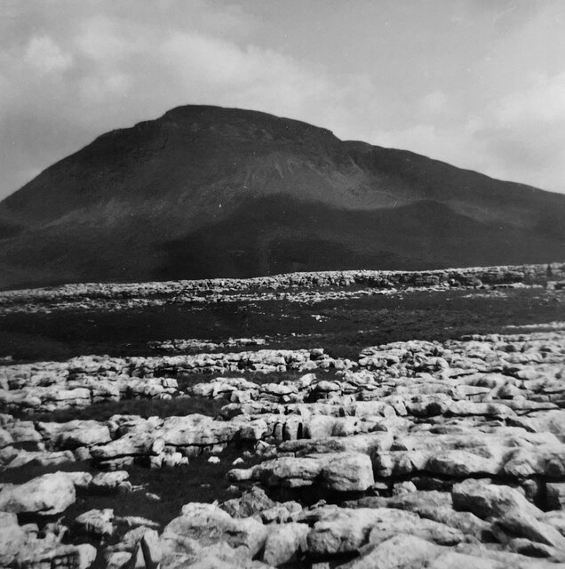
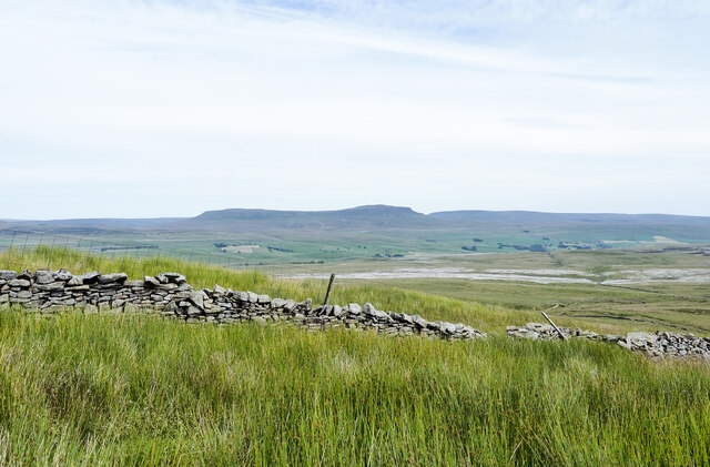
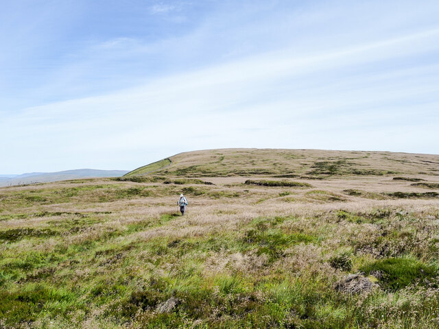
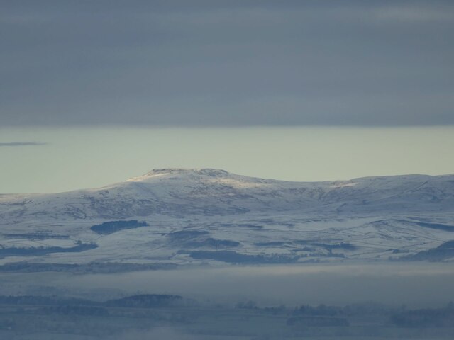
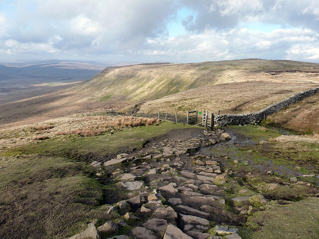
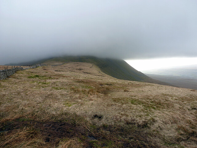
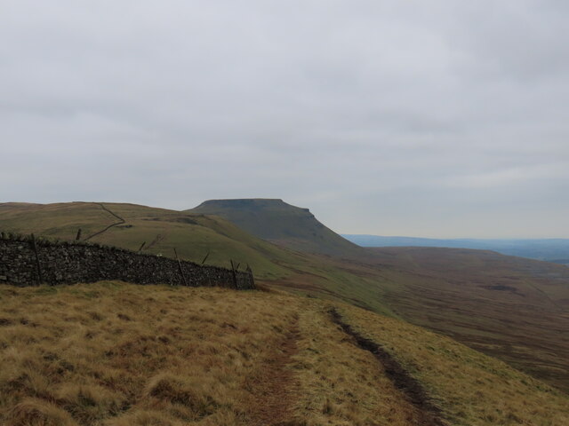
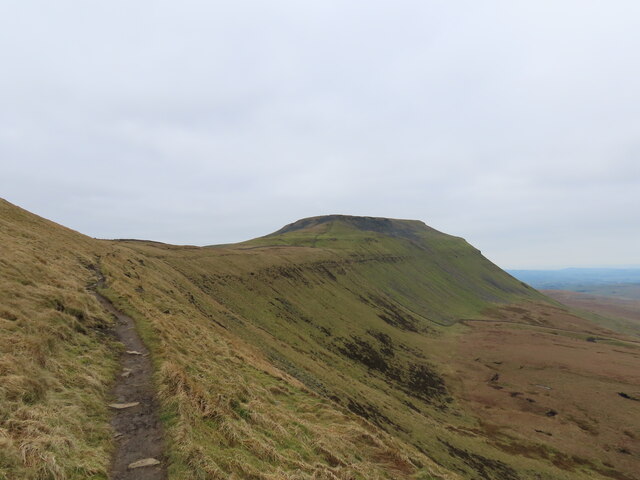
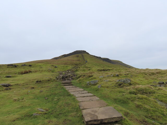
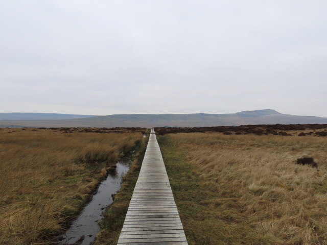
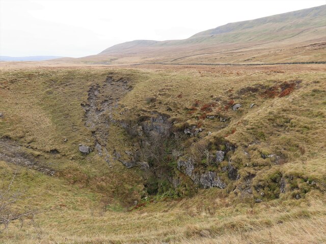
Top of South House Moor is a picturesque area located in Yorkshire, England. Situated on the downs and moorland, it offers stunning views and a tranquil atmosphere. Stretching across a vast expanse, the moorland is characterized by rolling hills, heather-covered fields, and scattered patches of woodland.
The moorland is home to a diverse range of flora and fauna, including various species of birds, mammals, and plants. Visitors can often spot birds of prey soaring through the sky, while sheep graze peacefully in the distance. The moorland is particularly captivating during the blooming season when the vibrant purple hues of the heather create a breathtaking sight.
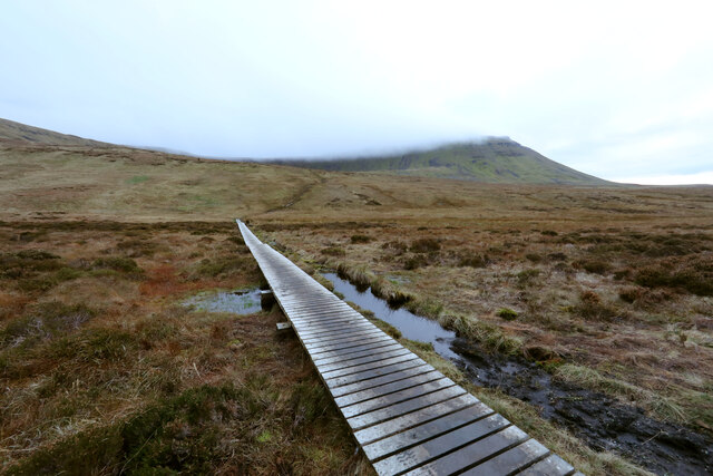
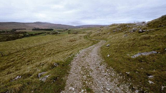
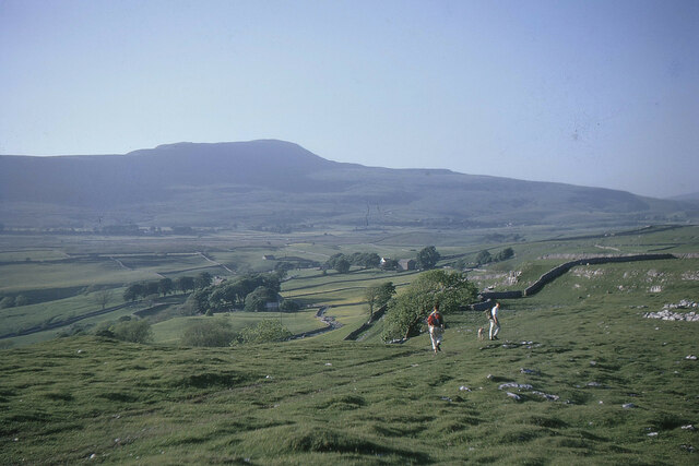
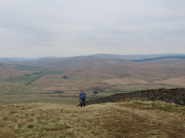
The area is a haven for outdoor enthusiasts and nature lovers. It offers numerous walking and hiking trails, allowing visitors to explore the moorland's stunning landscapes at their own pace. The trails vary in difficulty, catering to both beginners and experienced hikers. Along the way, there are several viewpoints that offer panoramic vistas of the surrounding countryside.
Top of South House Moor also holds historical significance. The remains of ancient settlements can be found scattered across the moorland, providing glimpses into the area's rich history. Additionally, there are several archaeological sites that have unearthed artifacts dating back to prehistoric times.
Overall, Top of South House Moor is a captivating destination that combines natural beauty, wildlife, and historical intrigue. Whether one seeks tranquility, adventure, or a deeper understanding of the region's past, this moorland offers a memorable experience for all who visit.
If you have any feedback on the listing, please let us know in the comments section below.
Top of South House Moor Images
Images are sourced within 2km of 54.176308/-2.3733294 or Grid Reference SD7575. Thanks to Geograph Open Source API. All images are credited.
Top of South House Moor is located at Grid Ref: SD7575 (Lat: 54.176308, Lng: -2.3733294)
Division: West Riding
Administrative County: North Yorkshire
District: Craven
Police Authority: North Yorkshire
What 3 Words
///emulating.froze.curated. Near Ingleton, North Yorkshire
Nearby Locations
Related Wikis

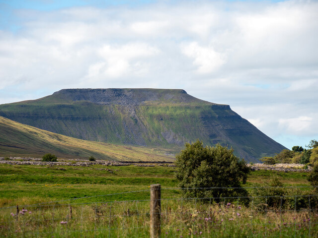
Simon Fell (Yorkshire Dales)
Simon Fell is a subsidiary summit on the north east ridge of Ingleborough, a mountain in the Yorkshire Dales in Northern England. With a height of 650...
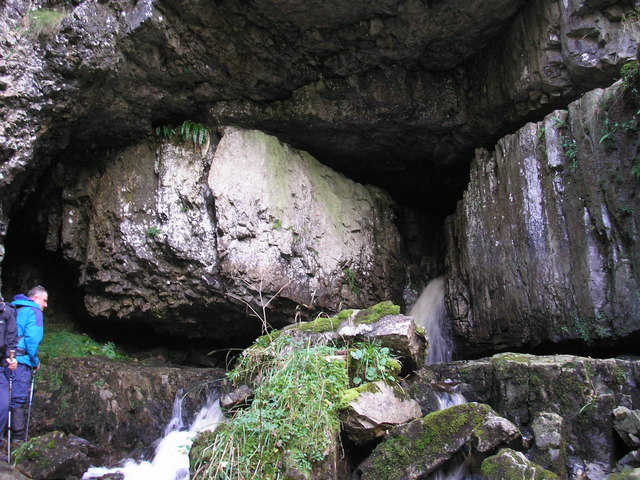
Great Douk Cave
Great Douk Cave is a shallow cave system lying beneath the limestone bench of Ingleborough in Chapel-le-Dale, North Yorkshire, England. It is popular with...

Alum Pot
Alum Pot is a pothole with a large open shaft at a surface elevation of 343 metres (1,125 ft) on the eastern flanks of Simon Fell, North Yorkshire, England...

Ingleborough
Ingleborough (723 m or 2,372 ft) is the second-highest mountain in the Yorkshire Dales, England. It is one of the Yorkshire Three Peaks (the other two...
Related Videos

Ribblehead Viaduct Easy Walking Guide | Yorkshire Dales National Park, English Countryside Walk
Our our latest Yorkshire Walking Guide we will show you how to complete the Ribblehead Viaduct circular route.

Hiking Whernside and Ribblehead Viaduct - Yorkshire Dales (4k)
After weeks of miserable weather we finally got a weekend with a reasonable forcast so I decided to head to Ribblehead viaduct ...


Hiking Whernside and Ribblehead Viaduct - Yorkshire Dales
On our recent road trip around the UK, Grant and I visited the Ribblehead Viaduct and couldn't resist returning to take in some of ...
Nearby Amenities
Located within 500m of 54.176308,-2.3733294Have you been to Top of South House Moor?
Leave your review of Top of South House Moor below (or comments, questions and feedback).