Old Park

Downs, Moorland in Lancashire Ribble Valley

England

Old Park

Old Milestone, Read Currently located in Whins Lane, Read. 

Inscription: To / Whalley / 2 Miles / To Clitheroe / 6 Miles // 
             To / Padiham / 2 Miles / to Burnley / 3½ Miles

Milestone Society National ID: LA_BUCL06
Old Milestone, Read Credit: David Phillips

Old Park is a small village located in Lancashire, England. Situated amidst picturesque Downs and Moorland, it offers a tranquil and serene atmosphere for its residents and visitors alike. With a population of approximately 500 people, Old Park is a close-knit community that prides itself on its rich history and natural beauty.

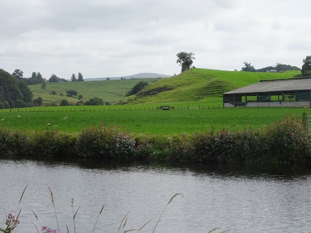
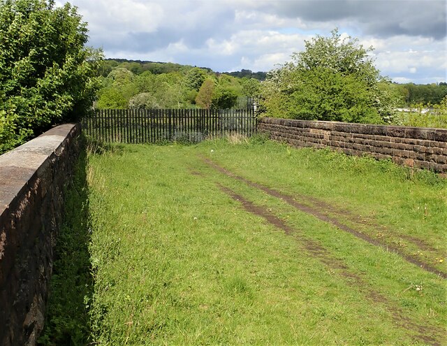
The village is known for its stunning landscape, characterized by rolling hills, vast expanses of moorland, and lush greenery. The Downs provide breathtaking views of the surrounding countryside, and are often a popular spot for nature walks, picnics, and outdoor activities. The Moorland, on the other hand, is a haven for wildlife enthusiasts, as it is home to a diverse range of flora and fauna.

Old Park boasts several historical landmarks, including a 12th-century church that stands as a testament to the village's long-standing heritage. The church is renowned for its intricate architecture and stained glass windows, attracting visitors from far and wide.

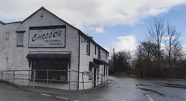
The village offers a range of amenities to cater to its residents' needs. There is a local primary school, a village hall that hosts various community events, and a handful of small businesses, including a local pub and a village shop. Although Old Park may be small in size, it exudes a strong sense of community spirit, with regular events and gatherings that bring residents together.

In summary, Old Park, Lancashire, is a charming village that combines stunning natural beauty with a rich historical heritage. Its Downs and Moorland offer a myriad of recreational opportunities, while its tight-knit community fosters a sense of belonging and togetherness.

If you have any feedback on the listing, please let us know in the comments section below.
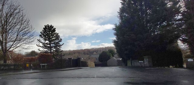
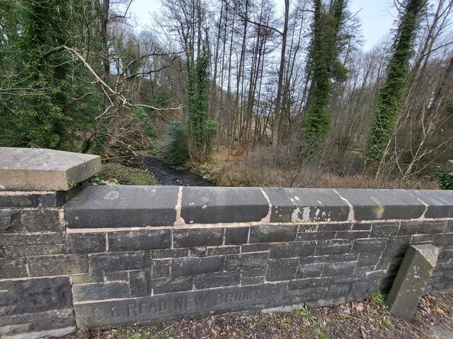
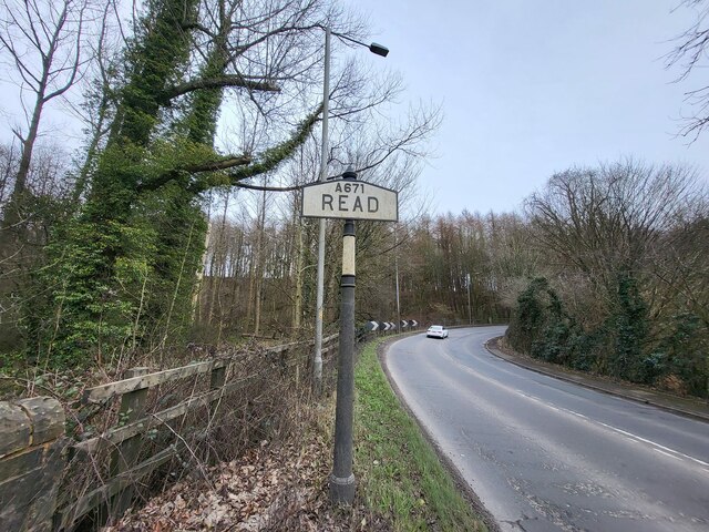
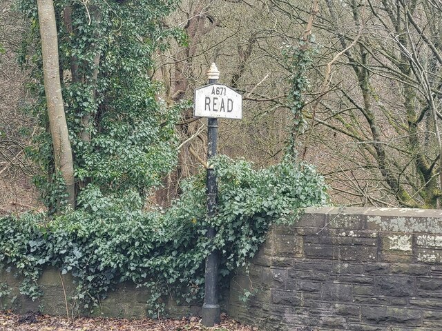
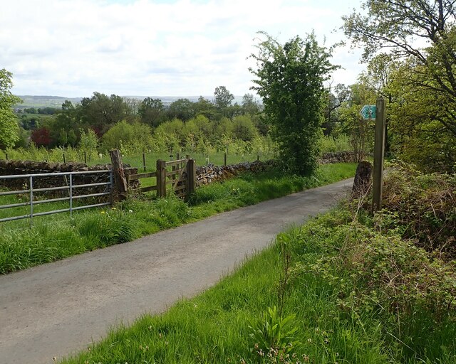
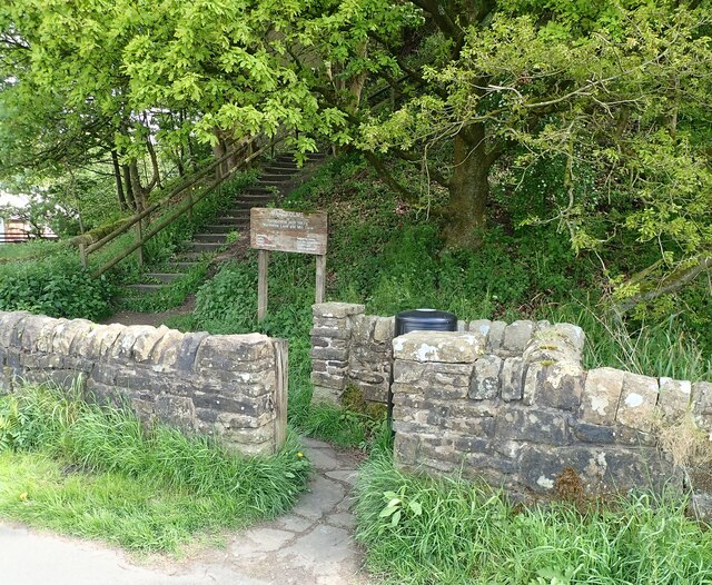
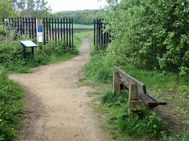
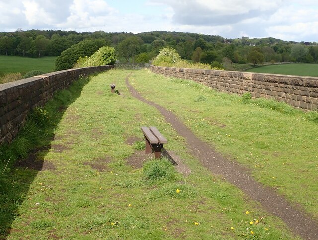
Old Park Images

Images are sourced within 2km of 53.806339/-2.3843214 or Grid Reference SD7434. Thanks to Geograph Open Source API. All images are credited.

Old Milestone, Read Currently located in Whins Lane, Read. 

Inscription: To / Whalley / 2 Miles / To Clitheroe / 6 Miles // 
             To / Padiham / 2 Miles / to Burnley / 3½ Miles

Milestone Society National ID: LA_BUCL06
Old Milestone, Read
Currently located in Whins Lane, Read. Inscription: To / Whalley / 2 Miles / To Clitheroe / 6 Miles // To / Padiham / 2 Miles / to Burnley / 3½ Miles Milestone Society National ID: LA_BUCL06
Spring Wood Information Centre
The River Calder near Whalley The view upstream, including Turn Hill on the right of the picture.
The River Calder near Whalley
The view upstream, including Turn Hill on the right of the picture.
Whalley Weir The weir at present serves as the generator for Whalley Community Hydro.
Whalley Weir
The weir at present serves as the generator for Whalley Community Hydro.
The path to Whalley Banks on Whalley Nab
Mobile Mast LAN0055 on Whalley Nab Delivering Freeview and mobile telephony services in Lancashire.
Mobile Mast LAN0055 on Whalley Nab
Delivering Freeview and mobile telephony services in Lancashire.
Whalley Community Hydro, Whalley Weir, River Calder Whalley Community Hydro Electricity plant at Whalley Weir on the River Calder
Whalley Community Hydro, Whalley Weir, River Calder
Whalley Community Hydro Electricity plant at Whalley Weir on the River Calder
Checco's Pizzeria
Checco's Pizzeria
Park Head
Park Head
Old Bridge Marker on the A671 Whalley Road Bridge Marker set in the parapet of Read New Bridge, Sabden Brook, next to boundary marker LA_BUCL06pb, on the north side of the A671 Whalley Road. On the boundary of Whalley and Read parishes.

Milestone Society National ID: LA_WHAREA01br
Old Bridge Marker on the A671 Whalley Road
Bridge Marker set in the parapet of Read New Bridge, Sabden Brook, next to boundary marker LA_BUCL06pb, on the north side of the A671 Whalley Road. On the boundary of Whalley and Read parishes. Milestone Society National ID: LA_WHAREA01br
Village Signpost on the A671 Whalley Road near Read New Bridge Located on the northeast side of the A671 Whalley Road at the east end of Read New Bridge in Read parish. 

Milestone Society National ID: LA_SD7434V
Village Signpost on the A671 Whalley Road near Read New Bridge
Located on the northeast side of the A671 Whalley Road at the east end of Read New Bridge in Read parish. Milestone Society National ID: LA_SD7434V
Village Signpost on the A671 Whalley Road on Read New Bridge Located on the southwest side of the A671 Whalley Road on Read New Bridge in Read parish. 

Milestone Society National ID: LA_SD7434W
Village Signpost on the A671 Whalley Road on Read New Bridge
Located on the southwest side of the A671 Whalley Road on Read New Bridge in Read parish. Milestone Society National ID: LA_SD7434W
Stile at Briercliffe Farm The stile situated at the Junction of Moor lane and Shawclffe Lane next to the entrance to Briercliffe Farm.
Stile at Briercliffe Farm
The stile situated at the Junction of Moor lane and Shawclffe Lane next to the entrance to Briercliffe Farm.
Gate for path off Clerk Hill Road The gate for the footpath on Clerk Hill Road leading to Lower Clerk Hill and Hollins Farm.
Gate for path off Clerk Hill Road
The gate for the footpath on Clerk Hill Road leading to Lower Clerk Hill and Hollins Farm.
Gateway for steps leading to Viaduct The gateway leading to the 74 steps providing access from Martholme Lane up to the Viaduct and Martholme Greenway.
Gateway for steps leading to Viaduct
The gateway leading to the 74 steps providing access from Martholme Lane up to the Viaduct and Martholme Greenway.
Access to Martholme Viaduct The barrier with gateway providing access to Martholme Viaduct from Martholme Greenway. The path leading off on the left leads to the 74 steps going down to Martholme Lane.
Access to Martholme Viaduct
The barrier with gateway providing access to Martholme Viaduct from Martholme Greenway. The path leading off on the left leads to the 74 steps going down to Martholme Lane.
Wooden Benches on Martholme Viaduct The benches on the path over Martholme Viaduct. Access beyond the viaduct has been closed off see closer view here - <a title="https://www.geograph.org.uk/photo/7483819" href="https://www.geograph.org.uk/photo/7483819">Link</a>
Wooden Benches on Martholme Viaduct
The benches on the path over Martholme Viaduct. Access beyond the viaduct has been closed off see closer view here - Link
End of Access from Martholme Viaduct A closer view of the barrier erected at the end of the path leading over Martholme Viaduct towards Read and Simmonstone.
End of Access from Martholme Viaduct
A closer view of the barrier erected at the end of the path leading over Martholme Viaduct towards Read and Simmonstone.
Show me another place!

Old Park is located at Grid Ref: SD7434 (Lat: 53.806339, Lng: -2.3843214)

Administrative County: Lancashire

District: Ribble Valley

Police Authority: Lancashire

What 3 Words

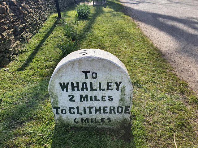
///affirming.iteration.skunks. Near Whalley, Lancashire

Related Wikis

Sabden Brook

Sabden Brook is a small river running through Lancashire in England. It is 7.59 miles (12.21 km) long and has a catchment area of 6.84 square miles (17...

Martholme Viaduct

Martholme Viaduct is a 19th-century railway viaduct in the English county of Lancashire. It lies between the town of Great Harwood and the village of Read...

Martholme

Martholme is a Grade I listed medieval manor house standing on the banks of the River Calder 1+1⁄4 miles (2 km) from Great Harwood, Lancashire, England...

Read Hall and Park

Read Hall and Park is a manor house with ornamental grounds of about 450 acres (180 ha) in Whalley Road, Read, a few miles west of Padiham, Lancashire...

Nearby Amenities

Located within 500m of 53.806339,-2.3843214
Note: boundary between Hyndburn and Ribble Valley
Lat/Long: 53.8040324/-2.3880668
Cafe
Brewschetta
Description: riverside cafe
Lat/Long: 53.802844/-2.3830693
Bus Stop
Bus: yes
Naptan AtcoCode: 2500IMG2376
Naptan NaptanCode: langatwj
Public Transport: platform
Lat/Long: 53.8086135/-2.3877193
Bus Stop
Bus: yes
Public Transport: platform
Lat/Long: 53.8089696/-2.3874633
New Marls wood
Natural: wood
Source: OS_OpenData_StreetView
Lat/Long: 53.8089887/-2.3809368
Wheatcroft Wood
Natural: wood
Source: OS_OpenData_StreetView
Lat/Long: 53.8037555/-2.3829538
Cock Wood
Natural: wood
Source: OS_OpenData_StreetView
Lat/Long: 53.804123/-2.3861939
Source: OS_OpenData_StreetView
Lat/Long: 53.8090757/-2.3872774
Portfield Bar
Place: locality
Source: OsOpenDataStreetView
Lat/Long: 53.8106173/-2.3864682
Park Head
Place: locality
Source: OsOpenDataStreetView
Lat/Long: 53.809211/-2.38517
Pipeline: valve
Lat/Long: 53.8086067/-2.3850748
Pipeline: manhole
Lat/Long: 53.806504/-2.3845546
Pipeline: valve
Lat/Long: 53.8027224/-2.383917
Generator Method: photovoltaic
Generator Output Electricity: yes
Generator Source: solar
Generator Type: solar_photovoltaic_panel
Location: roof
Power: generator
Lat/Long: 53.8085896/-2.3869286
The data included in this document is from www.openstreetmap.org. The data is made available under ODbL.

Have you been to Old Park?

Leave your review of Old Park below (or comments, questions and feedback).