Smardale Fell
Downs, Moorland in Westmorland Eden
England
Smardale Fell

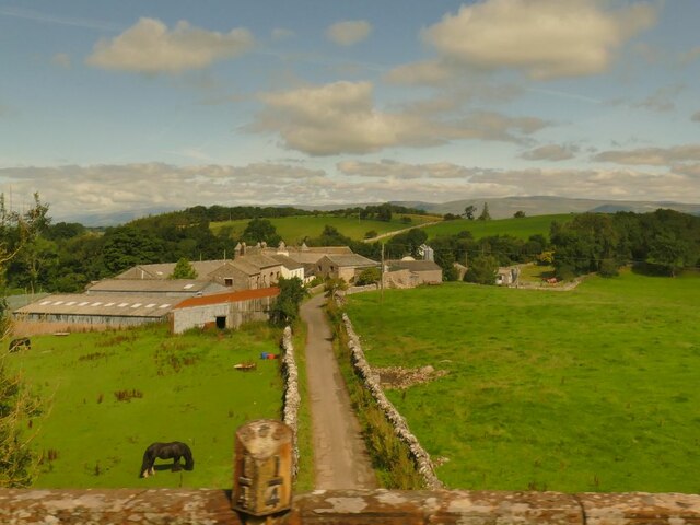
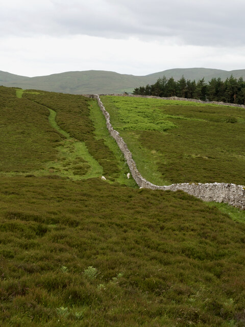
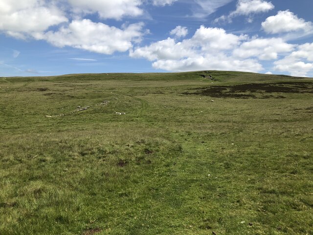
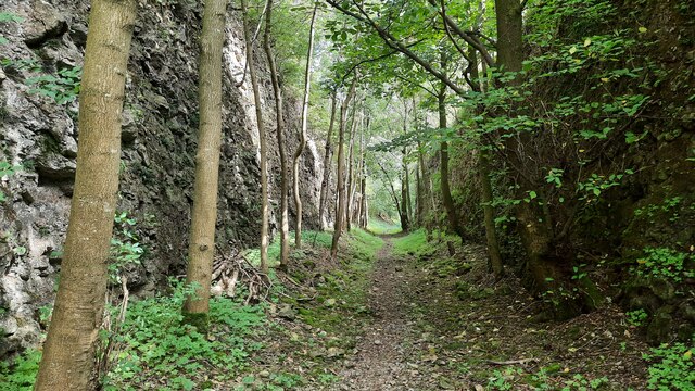
Smardale Fell is a picturesque area located in the county of Westmorland, England. Situated in the northern part of the Yorkshire Dales National Park, it encompasses a diverse landscape of rolling downs and expansive moorland. The fell covers an area of approximately 2,000 acres and is renowned for its natural beauty and tranquility.
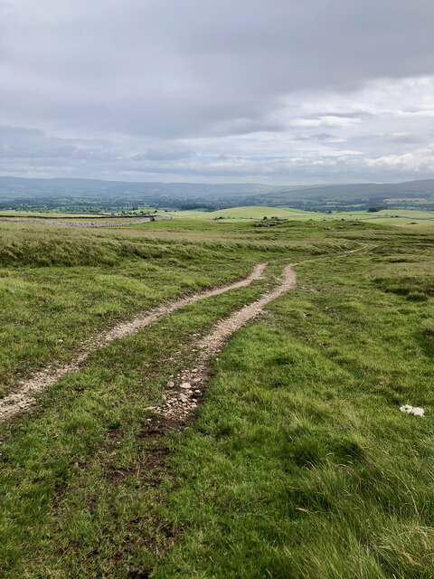
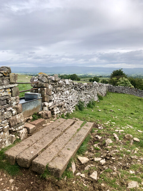
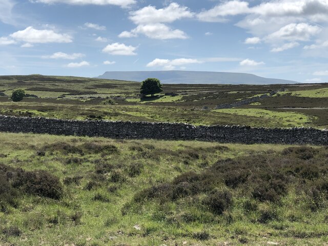
The terrain of Smardale Fell consists of undulating hills and valleys, dotted with scattered limestone outcrops. The area is characterized by its rich biodiversity, with a variety of plant and animal species thriving in its diverse habitats. Rare plants such as the bird's-eye primrose and juniper can be found here, making it a haven for botany enthusiasts.
The fell is also home to an array of wildlife, including red squirrels, roe deer, and a wide range of bird species. It provides an ideal habitat for breeding birds such as curlews, lapwings, and skylarks, attracting birdwatchers from far and wide.
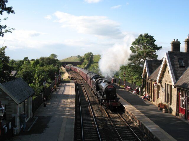
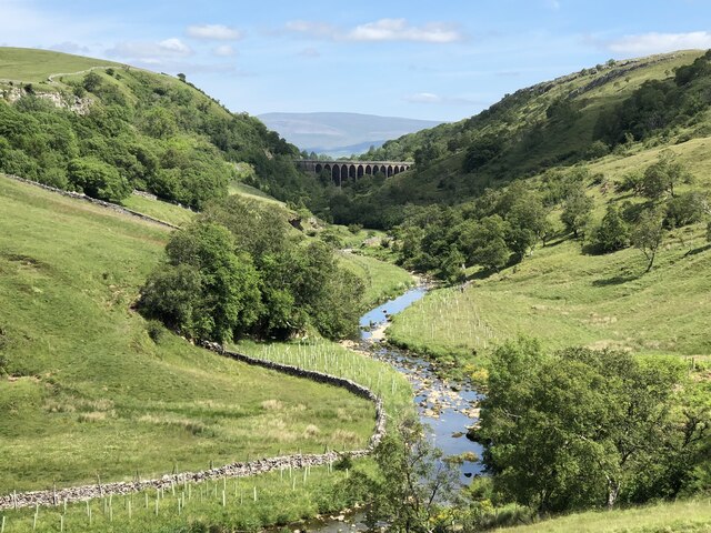
Visitors to Smardale Fell can explore its extensive network of footpaths and bridleways, which offer stunning views of the surrounding countryside. The area is intersected by the Smardalegill Viaduct, an impressive structure that was once part of the now-defunct South Durham and Lancashire Union Railway. The viaduct adds a touch of historical charm to the landscape, drawing railway enthusiasts and history buffs to the area.
Overall, Smardale Fell is a captivating destination for nature lovers, hikers, and those seeking a peaceful retreat. Its unspoiled beauty and diverse ecosystems make it a true gem within the Westmorland region.
If you have any feedback on the listing, please let us know in the comments section below.
Smardale Fell Images
Images are sourced within 2km of 54.456676/-2.4008195 or Grid Reference NY7406. Thanks to Geograph Open Source API. All images are credited.

![Romano-British settlement and associated field system at Waitby Intake For more info. see Heritagegateway.org.uk. (2018). List Entry Number: 1018064. [online] Available at: <span class="nowrap"><a title="https://www.heritagegateway.org.uk/Gateway/Results_Single.aspx?uid=1018064&amp;resourceID=5" rel="nofollow ugc noopener" href="https://www.heritagegateway.org.uk/Gateway/Results_Single.aspx?uid=1018064&amp;resourceID=5">Link</a><img style="margin-left:2px;" alt="External link" title="External link - shift click to open in new window" src="https://s1.geograph.org.uk/img/external.png" width="10" height="10"/></span> [Accessed 26 Jun. 2022].](https://s0.geograph.org.uk/geophotos/07/21/03/7210332_c411505d.jpg)
![Long Plantation The name that appears on the 1862 6&quot; O.S. map. with a wood symbol — see Maps.nls.uk. (2022). View map: Westmorland XXX (includes: Kirkby Stephen; Mallerstang; Nateby; Ravenstonedale; ...) - Ordnance Survey Six-inch England and Wales, 1842-1952. [online] Available at: <span class="nowrap"><a title="https://maps.nls.uk/view/102347880#zoom=6&amp;lat=9304&amp;lon=2399&amp;layers=BT" rel="nofollow ugc noopener" href="https://maps.nls.uk/view/102347880#zoom=6&amp;lat=9304&amp;lon=2399&amp;layers=BT">Link</a><img style="margin-left:2px;" alt="External link" title="External link - shift click to open in new window" src="https://s1.geograph.org.uk/img/external.png" width="10" height="10"/></span> [Accessed 26 Jun. 2022].](https://s3.geograph.org.uk/geophotos/07/21/03/7210371_573ad245.jpg)


Smardale Fell is located at Grid Ref: NY7406 (Lat: 54.456676, Lng: -2.4008195)
Administrative County: Cumbria
District: Eden
Police Authority: Cumbria
What 3 Words
///promising.slowness.answer. Near Kirkby Stephen, Cumbria
Nearby Locations
Related Wikis
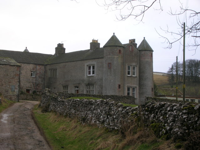
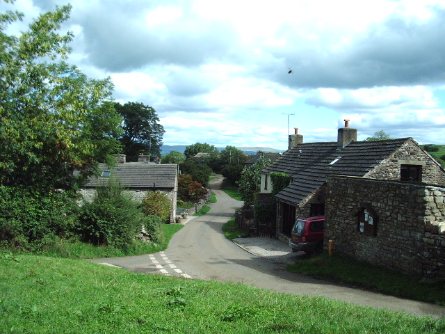
Smardale
Smardale is a small village and former civil parish, now in the parish of Waitby, in the Eden district, in Cumbria, England. In 1891 the parish had a population...

Smardale railway station
Smardale railway station was a minor station on the South Durham & Lancashire Union Railway between Tebay and Kirkby Stephen East. It served the villages...
Waitby
Waitby is a small village and civil parish in the Eden district of Cumbria, England. The parish contains two small villages, Waitby and Smardale, plus...
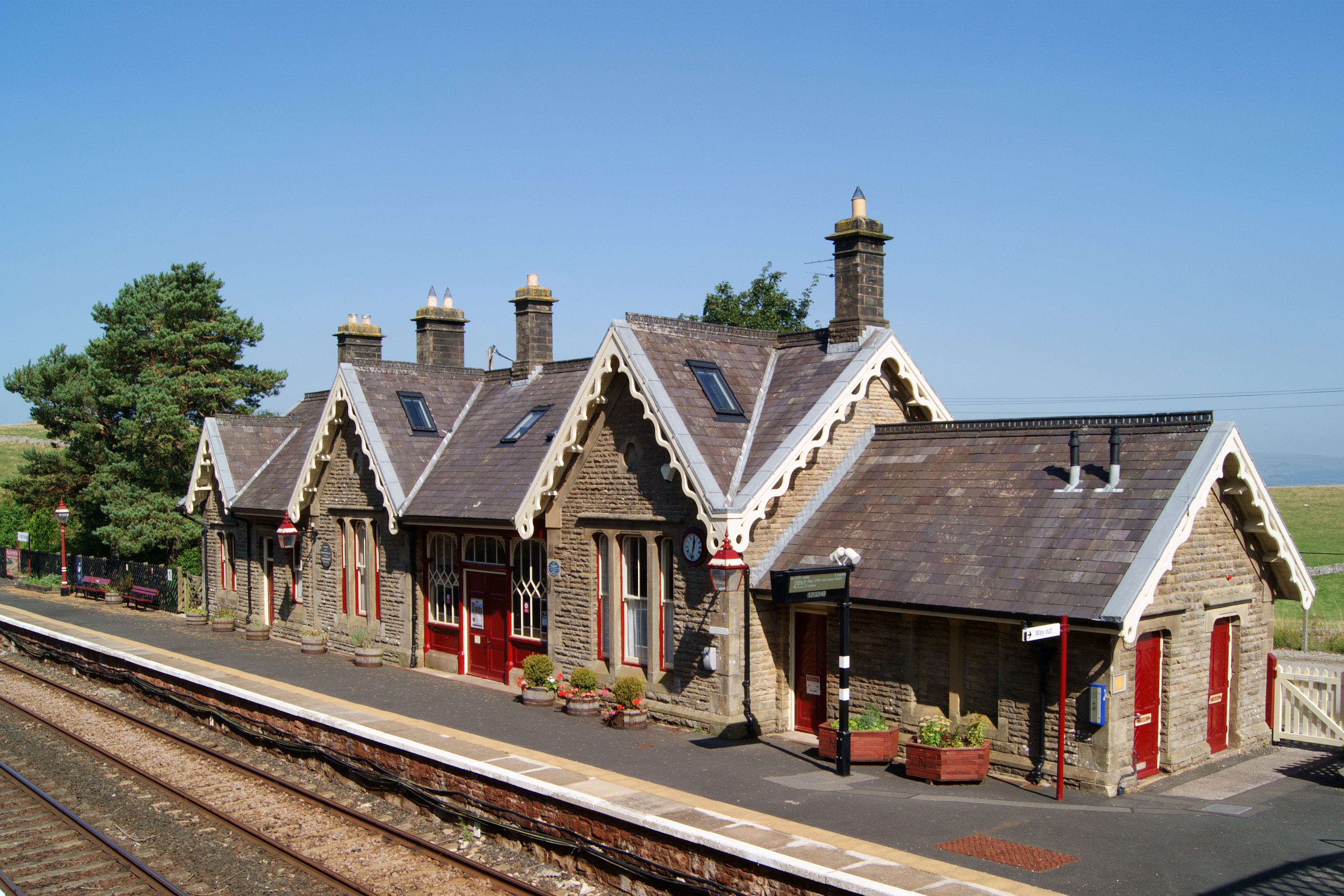
Kirkby Stephen railway station
Kirkby Stephen is a railway station in Eden in Cumbria, England, on the Settle and Carlisle Line, which runs between Carlisle and Leeds via Settle. The...
Nearby Amenities
Located within 500m of 54.456676,-2.4008195Have you been to Smardale Fell?
Leave your review of Smardale Fell below (or comments, questions and feedback).