Newshield Moss

Downs, Moorland in Cumberland Eden

England

Newshield Moss

Felled plantation west of Long Cross Looking towards Great Dun Fell, Little Dun Fell and Cross Fell on the far horizon.
Felled plantation west of Long Cross Credit: Mike Quinn

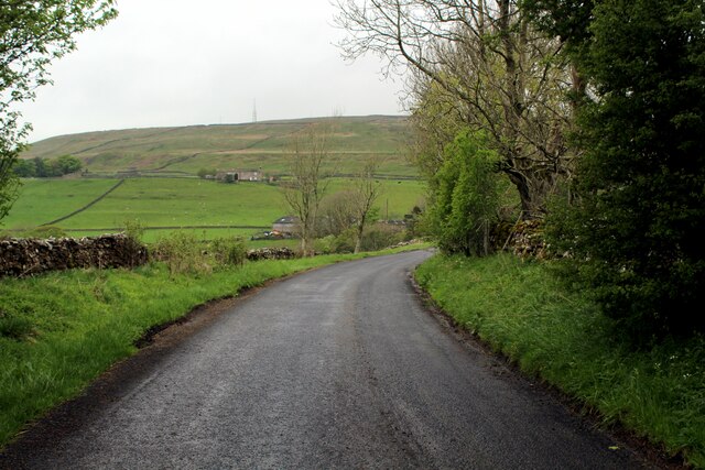
Newshield Moss is a picturesque and serene area nestled in the heart of Cumberland, located in the northern region of England. Situated amidst the breathtaking landscape of Downs and Moorland, it offers a tranquil escape from the bustling city life.

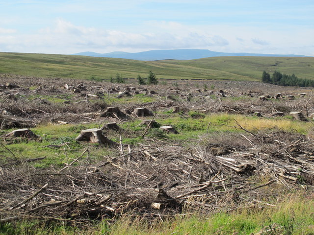
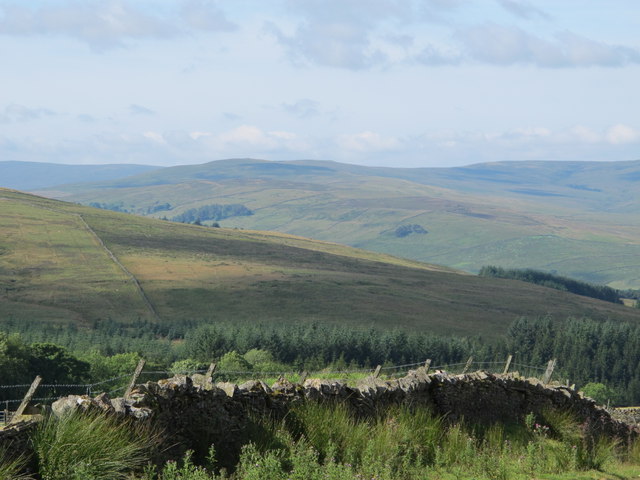
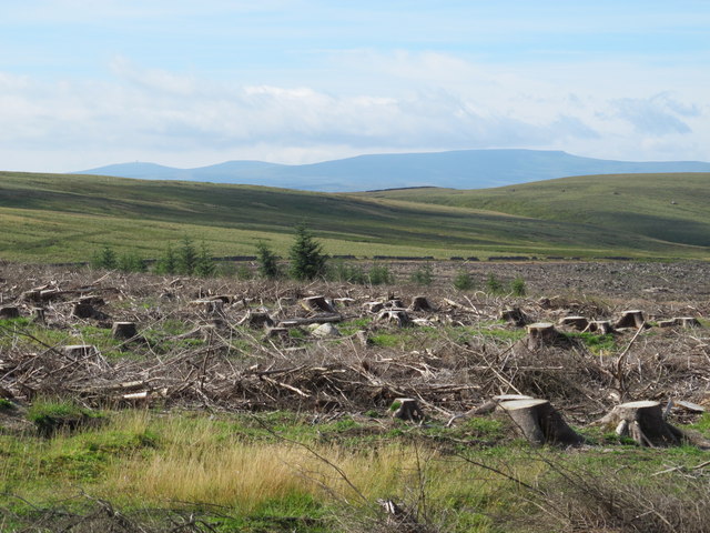
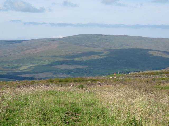
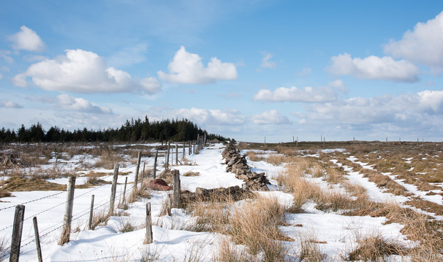
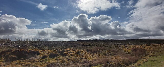
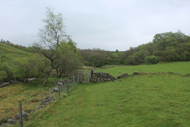
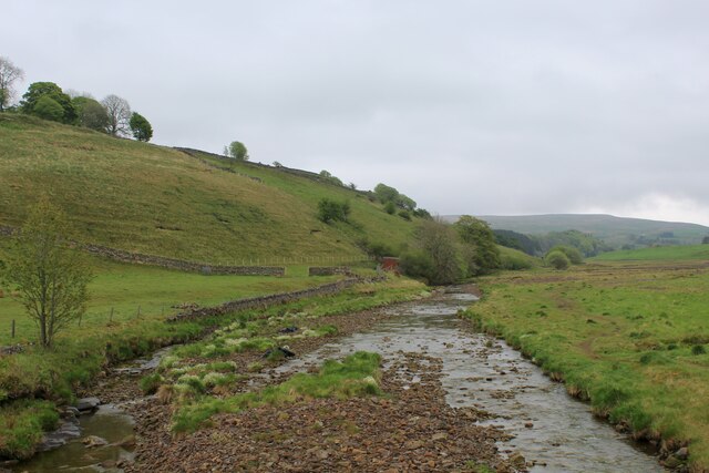
The area is renowned for its natural beauty, characterized by vast stretches of moss-covered land, rolling hills, and lush greenery. The moss, which gives the place its name, adds a unique charm to the scenery, creating a carpet-like covering that adds texture and richness to the landscape.

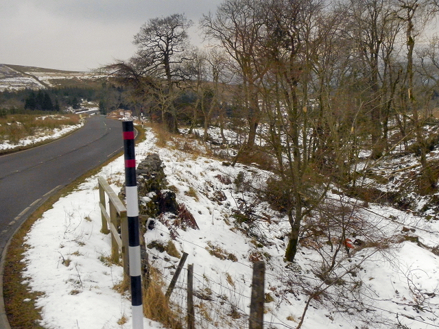
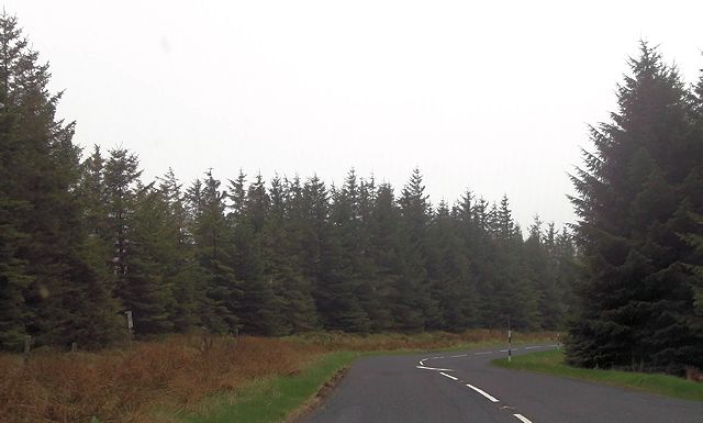
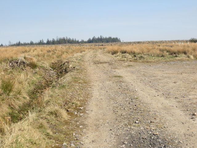
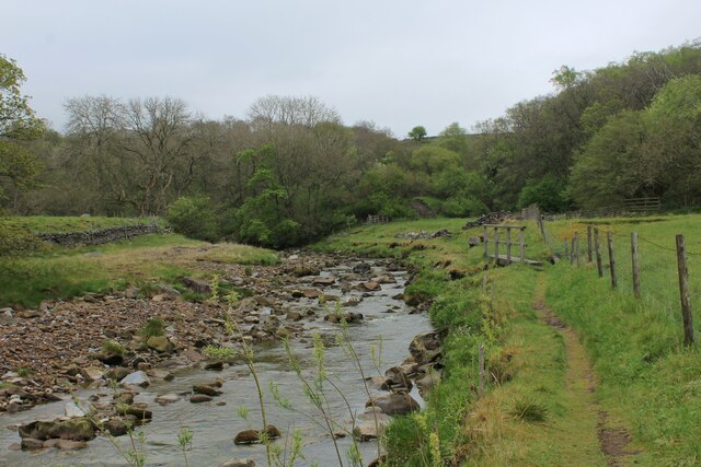
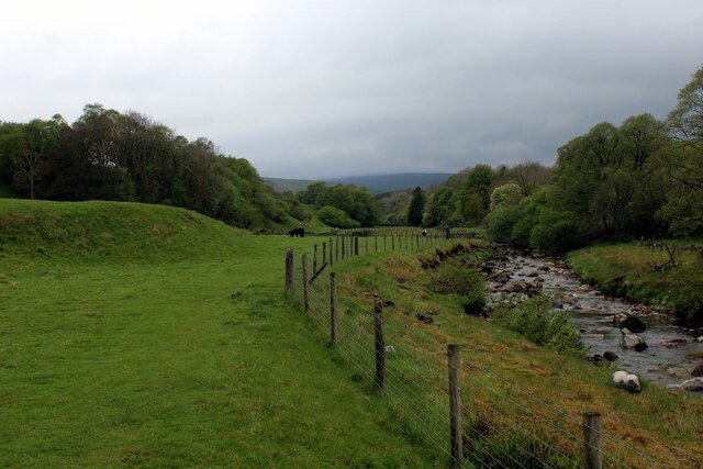
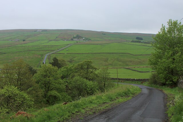
Cumberland's Newshield Moss is a haven for nature enthusiasts and outdoor adventurers alike. The moorland provides an ideal environment for hiking, walking, and cycling, offering numerous trails that wind through the undulating hills and valleys. The area is also home to a diverse range of wildlife, including various bird species, small mammals, and colorful wildflowers.

For those seeking a peaceful retreat, Newshield Moss offers a sense of tranquility and solitude. The unspoiled beauty of the surroundings, combined with the absence of urban development, provides a perfect setting for relaxation and contemplation.

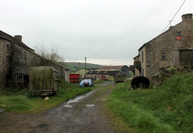
In addition to its natural attractions, Newshield Moss is also steeped in history. The area boasts ancient ruins, standing stones, and remnants of old settlements, offering glimpses into the region's rich historical past.

Overall, Newshield Moss in Cumberland is a hidden gem, offering a sanctuary of natural beauty, outdoor activities, and historical intrigue. Whether visitors are seeking a peaceful getaway or an adventure-filled escape, this remarkable destination has something to offer for everyone.

If you have any feedback on the listing, please let us know in the comments section below.

Newshield Moss Images

Images are sourced within 2km of 54.831097/-2.4150769 or Grid Reference NY7348. Thanks to Geograph Open Source API. All images are credited.

Felled plantation west of Long Cross Looking towards Great Dun Fell, Little Dun Fell and Cross Fell on the far horizon.
Felled plantation west of Long Cross
Looking towards Great Dun Fell, Little Dun Fell and Cross Fell on the far horizon.
View across Clargillhead
Long Cross (2) Looking towards Hard Rigg in <a href="https://www.geograph.org.uk/gridref/NY7448">NY7448</a>. A "reverse" view is shown in <a href="https://www.geograph.org.uk/photo/2666502">NY7448 : Hard Rigg above Long Cross</a>.
Long Cross (2)
Looking towards Hard Rigg in NY7448. A "reverse" view is shown in NY7448 : Hard Rigg above Long Cross.
Gatepost at Long Cross The path from Clargillhead to West Allendale via Long Cross is part of Isaac's Tea Trail <span class="nowrap"><a title="http://www.northumberlandlife.org/teatrail/default.asp" rel="nofollow ugc noopener" href="http://www.northumberlandlife.org/teatrail/default.asp">Link</a><img style="margin-left:2px;" alt="External link" title="External link - shift click to open in new window" src="https://s1.geograph.org.uk/img/external.png" width="10" height="10"/></span>.
Gatepost at Long Cross
The path from Clargillhead to West Allendale via Long Cross is part of Isaac's Tea Trail LinkExternal link.
Felled plantation west of Long Cross (2) Looking towards Great Dun Fell, Little Dun Fell and Cross Fell.
Felled plantation west of Long Cross (2)
Looking towards Great Dun Fell, Little Dun Fell and Cross Fell.
Moorland and felled plantation above Clargillhead Looking across the valley of the River South Tyne towards Grey Nag in <a href="https://www.geograph.org.uk/gridref/NY6647">NY6647</a>.
Moorland and felled plantation above Clargillhead
Looking across the valley of the River South Tyne towards Grey Nag in NY6647.
A686, Alston Moor
A686, Alston Moor
A686 through the plantation near Moscow
Track used by the Isaac's Tea Trail walk near Clargillhead Looking north-eastward.
Track used by the Isaac's Tea Trail walk near Clargillhead
Looking north-eastward.
Ruined wall with fence near Long Cross Long Cross is presumably the name given to the high point of a hill road crossing between West Allendale and the South Tyne valley; the line of that route is indicated by the fence post line along the right horizon.
Ruined wall with fence near Long Cross
Long Cross is presumably the name given to the high point of a hill road crossing between West Allendale and the South Tyne valley; the line of that route is indicated by the fence post line along the right horizon.
Recently deforested plantation
Beside the River Nent A tributary of the South Tyne.
Seen here approaching a patch of woodland between Alston and Blagill, on a long distance footpath which runs under the name of Isaac's Tea Trail.
Beside the River Nent
A tributary of the South Tyne. Seen here approaching a patch of woodland between Alston and Blagill, on a long distance footpath which runs under the name of Isaac's Tea Trail.
Heading West to Gossipgate beside the River Nent Heading downriver towards Gossipgate and Alston, before the Nent reaches the River South Tyne.
Heading West to Gossipgate beside the River Nent
Heading downriver towards Gossipgate and Alston, before the Nent reaches the River South Tyne.
Beside the River Nent between Gossipgate and Blagill Following the Nent, a tributary of the River South Tyne
Beside the River Nent between Gossipgate and Blagill
Following the Nent, a tributary of the River South Tyne
The River Nent near Blagill Taken from the road bridge that spans the River Nent between Blagill and Far Skelgill on the A689.
The River Nent near Blagill
Taken from the road bridge that spans the River Nent between Blagill and Far Skelgill on the A689.
On the Lane between Blagill and High Skelgill on the A689 Quiet lane that runs at right angles across the Nent Valley
On the Lane between Blagill and High Skelgill on the A689
Quiet lane that runs at right angles across the Nent Valley
Blagill Hamlet above the Nent Valley.
Blagill
Hamlet above the Nent Valley.
B6294 between Blagill and Foreshield Bridge Isaac's Tea Trail is a 36 mile circular walk in the North Pennines named after Isaac Holden (c. 1805-57), an itinerant tea seller. Isaac became a familiar figure, out in all weathers, selling tea door to door to the farms, remote hamlets and mining communities scattered over the dales between Alston and Allendale Town. A pious man of humble origin, much involved in charitable work, he gained so much public respect that over 600 people contributed to his memorial. Full details at <span class="nowrap"><a title="https://isaacs-tea-trail.co.uk/" rel="nofollow ugc noopener" href="https://isaacs-tea-trail.co.uk/">Link</a><img style="margin-left:2px;" alt="External link" title="External link - shift click to open in new window" src="https://s1.geograph.org.uk/img/external.png" width="10" height="10"/></span>
B6294 between Blagill and Foreshield Bridge
Isaac's Tea Trail is a 36 mile circular walk in the North Pennines named after Isaac Holden (c. 1805-57), an itinerant tea seller. Isaac became a familiar figure, out in all weathers, selling tea door to door to the farms, remote hamlets and mining communities scattered over the dales between Alston and Allendale Town. A pious man of humble origin, much involved in charitable work, he gained so much public respect that over 600 people contributed to his memorial. Full details at LinkExternal link
Show me another place!

Newshield Moss is located at Grid Ref: NY7348 (Lat: 54.831097, Lng: -2.4150769)

Administrative County: Cumbria

District: Eden

Police Authority: Cumbria

What 3 Words

///strategy.embellish.tops. Near Alston, Cumbria

Related Wikis

Ayle

Ayle is a village in Northumberland, England, situated to the north of Alston. There are six residences in the hamlet. == Governance == Ayle is in the...

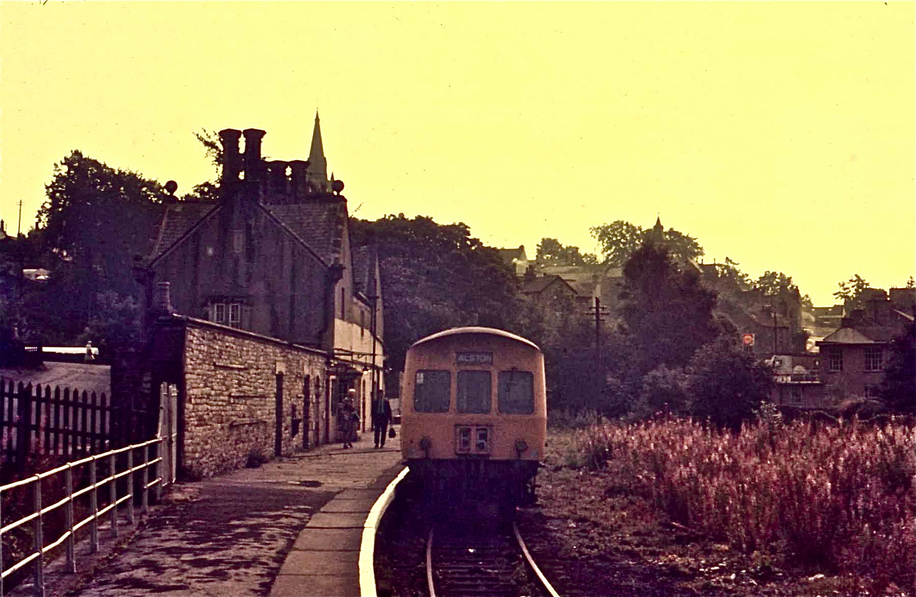
Alston railway station

Alston is a heritage railway station on the South Tynedale Railway. The station, situated 13 miles (21 km) south of Haltwhistle, is in the market town...

Alston Town Hall

Alston Town Hall is a municipal building in Front Street, Alston, Cumbria, England. The town hall, which is currently used as a public library, is a Grade...

Alston Moor

Alston Moor, formerly known as Alston with Garrigill, is a civil parish and electoral ward in the Westmorland and Furness district, in the ceremonial county...

Samuel King's School

Samuel King's School is a mixed secondary school located in Alston in the English county of Cumbria. As of 2017 it had 73 students on roll. It is a comprehensive...

Alston, Cumbria

Alston is a town in Westmorland and Furness, Cumbria, England, within the civil parish of Alston Moor on the River South Tyne. It shares the title of the...

Gilderdale Halt railway station

Gilderdale Halt railway station, also known as Gilderdale railway station, served the town of Alston, Cumbria, England, from 1986 to 1999 on the South...

South Tynedale Railway

The South Tynedale Railway is a preserved, 2 ft (610 mm) narrow gauge heritage railway in Northern England and at 875ft is England's second highest narrow...

Nearby Amenities

Located within 500m of 54.831097,-2.4150769
Newshield Moss
Place: locality
Lat/Long: 54.8298559/-2.4181811
The data included in this document is from www.openstreetmap.org. The data is made available under ODbL.

Have you been to Newshield Moss?

Leave your review of Newshield Moss below (or comments, questions and feedback).