Barton Moss
Downs, Moorland in Lancashire
England
Barton Moss

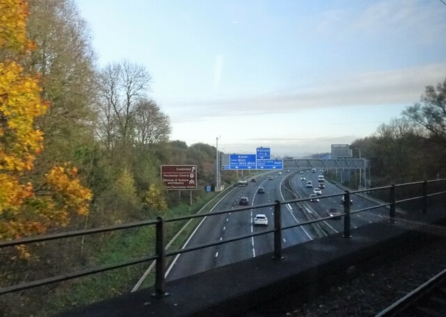
Barton Moss, located in Lancashire, is a diverse and picturesque area that encompasses both downs and moorland landscapes. Situated approximately five miles west of Manchester city center, this region covers an area of approximately 3.2 square kilometers.
Barton Moss is known for its unique mix of natural beauty and industrial heritage. The area is characterized by gently rolling hills, heathland, and peat bogs, which provide a rich and varied habitat for a wide range of plant and animal species. The moorland, in particular, is home to various bird species such as curlews, lapwings, and skylarks, making it a haven for birdwatchers.
Historically, Barton Moss has been associated with coal mining, and evidence of this industry can still be seen in the form of old mine shafts and railway lines. However, in recent years, the area has become a focal point for environmental activism due to its proximity to a potential fracking site. Activists have set up camps and protests in an effort to protect the local environment and raise awareness about the potential risks associated with fracking.
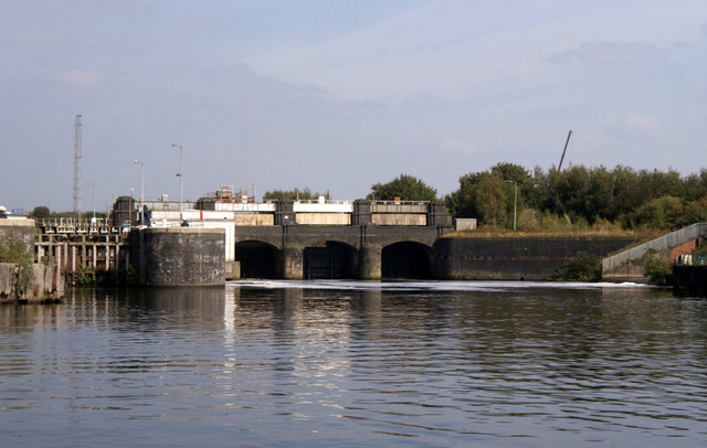
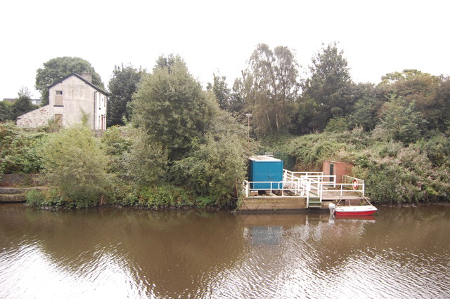
Despite this controversy, Barton Moss remains a popular destination for outdoor enthusiasts and nature lovers. The area offers numerous walking trails, allowing visitors to explore the stunning scenery and enjoy the tranquility of the countryside. Additionally, the nearby Worsley Woods and Bridgewater Canal provide further recreational opportunities.
Overall, Barton Moss is a unique and diverse area that combines natural beauty, industrial history, and environmental activism.
If you have any feedback on the listing, please let us know in the comments section below.
Barton Moss Images
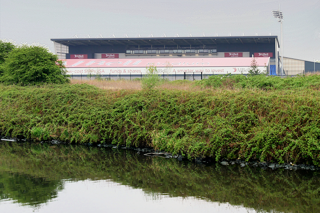
Images are sourced within 2km of 53.469599/-2.4020446 or Grid Reference SJ7397. Thanks to Geograph Open Source API. All images are credited.


Barton Moss is located at Grid Ref: SJ7397 (Lat: 53.469599, Lng: -2.4020446)
Unitary Authority: Salford
Police Authority: Greater Manchester
What 3 Words
///wires.actor.lousy. Near Irlam, Manchester
Nearby Locations
Related Wikis
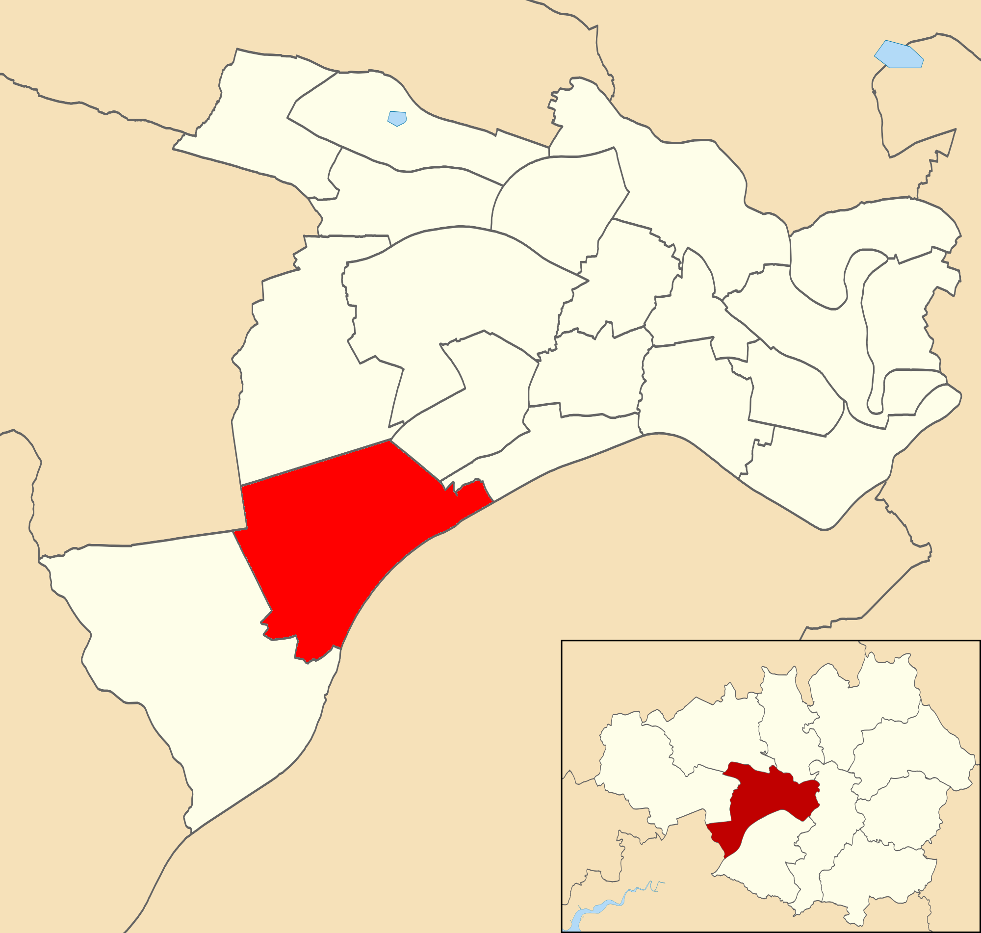
Irlam (ward)
Irlam was an electoral ward of Salford, England. It was represented in Westminster by the constituency of Worsley and Eccles South. A profile of the ward...
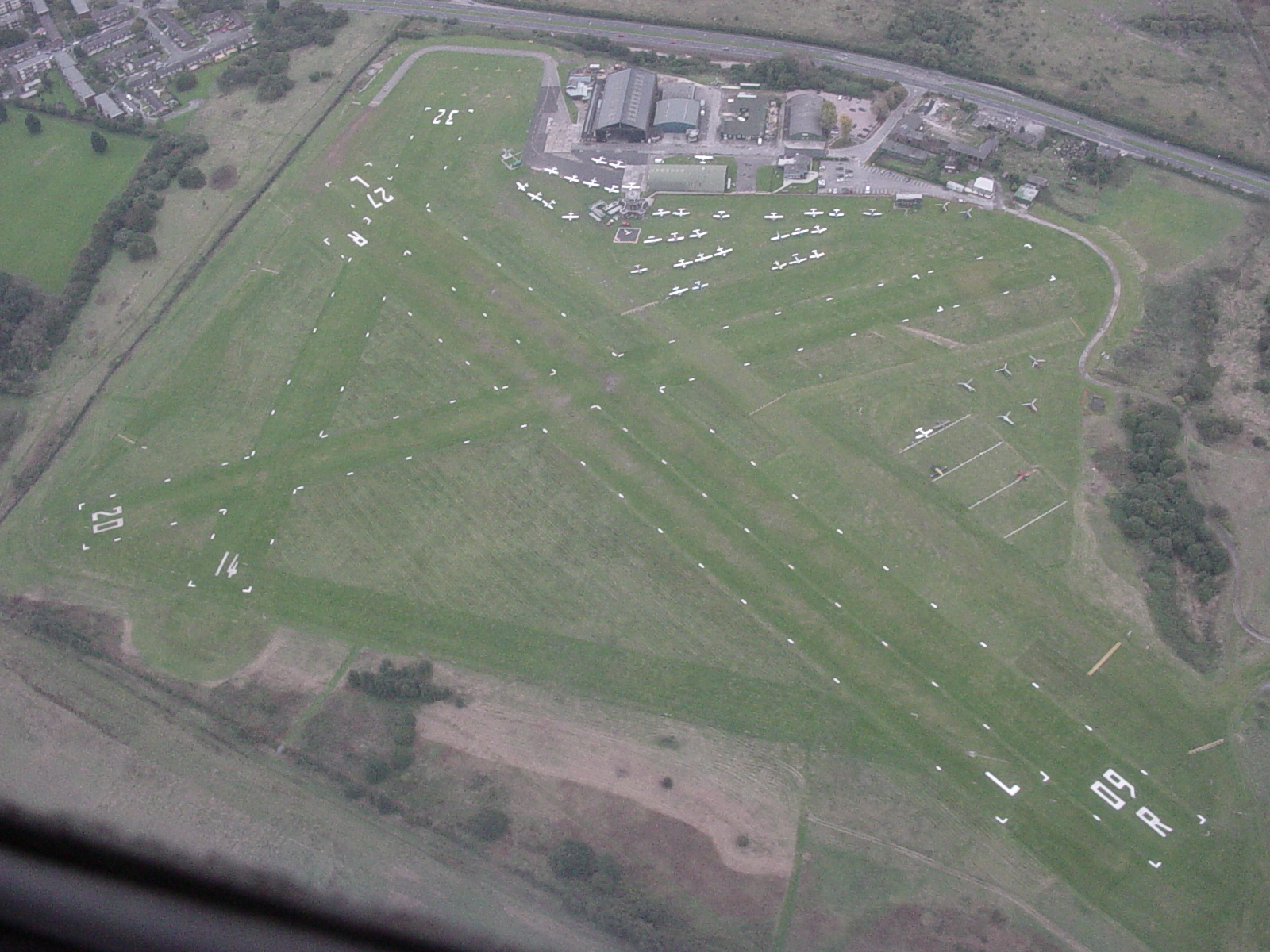
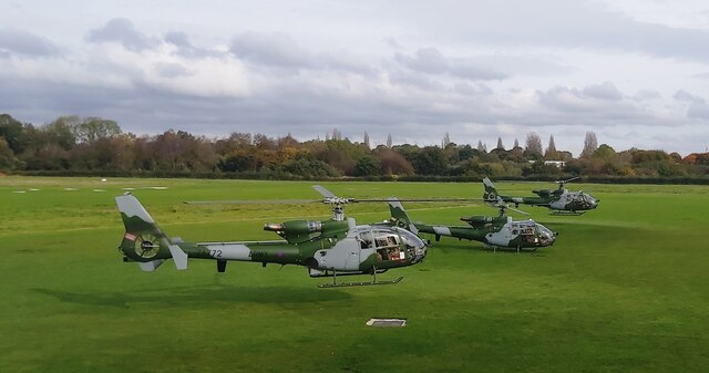
City Airport & Manchester Heliport
Barton Aerodrome (ICAO: EGCB) is an airport in Barton-upon-Irwell, Greater Manchester, England, 5 nautical miles (9.3 km; 5.8 mi) west of Manchester. Formerly...

Port Salford tram stop
Port Salford is a proposed tram stop for Greater Manchester's Metrolink light rail system, which if established will serve passengers boarding and alighting...
Barton Moss railway station
Barton Moss railway station was in Peel Green, Lancashire, England. == History == The original Liverpool and Manchester Railway station at Barton Moss...
Nearby Amenities
Located within 500m of 53.469599,-2.4020446Have you been to Barton Moss?
Leave your review of Barton Moss below (or comments, questions and feedback).