Battle Green

Downs, Moorland in Cumberland Eden

England

Battle Green

Across South Tynedale The River South Tyne is hidden below the line of trees at this point, but the valley is quite wide here as it receives the waters of the Black Burn a little further upstream. The valley of the Black Burn is visible in the distance.
Across South Tynedale Credit: Gordon Hatton

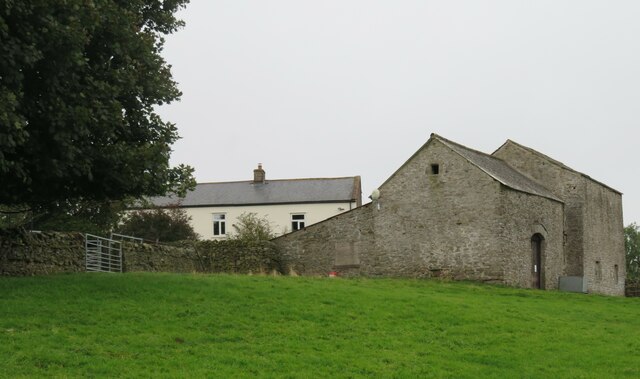
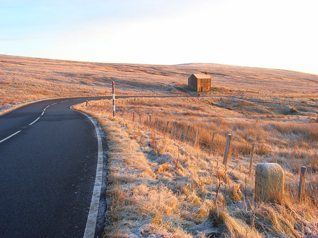
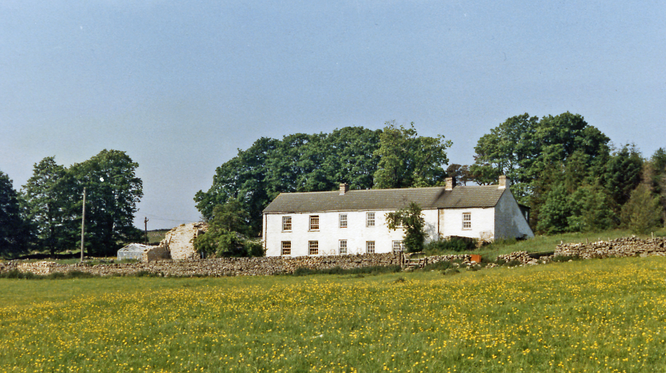
Battle Green is a picturesque area located in Cumberland, specifically in the Downs region of Moorland. This serene location is renowned for its historical significance and natural beauty, making it a popular destination for locals and tourists alike.

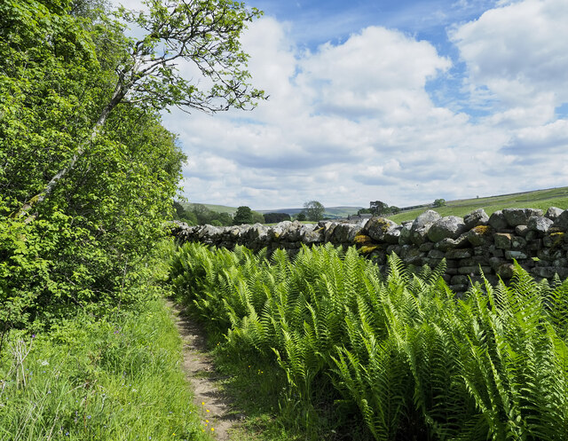
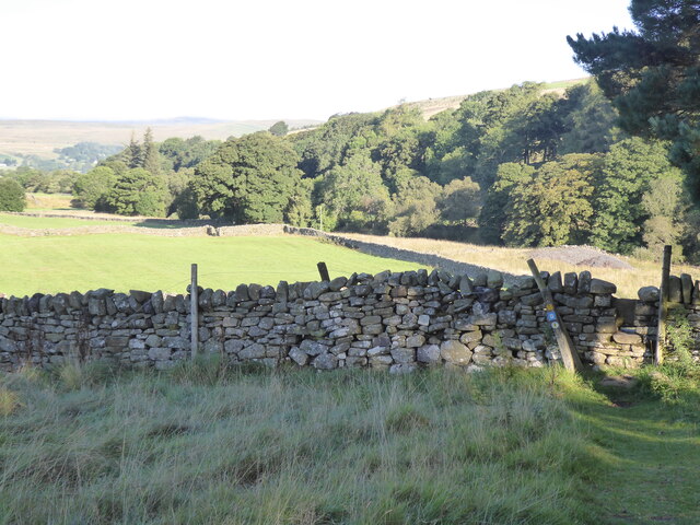
The most notable feature of Battle Green is its rich history. It was the site of a significant battle during the medieval era, hence the name. Today, visitors can still find remnants of the battle, such as ancient fortifications and earthworks, which serve as a reminder of the area's past. This historical significance has led to the site being protected and designated as a historical landmark.

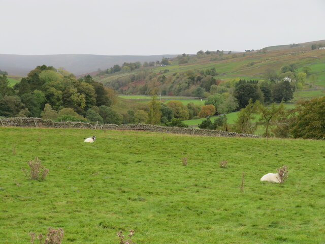
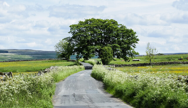
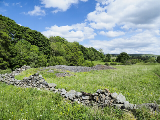
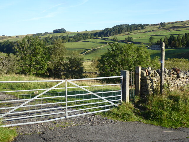
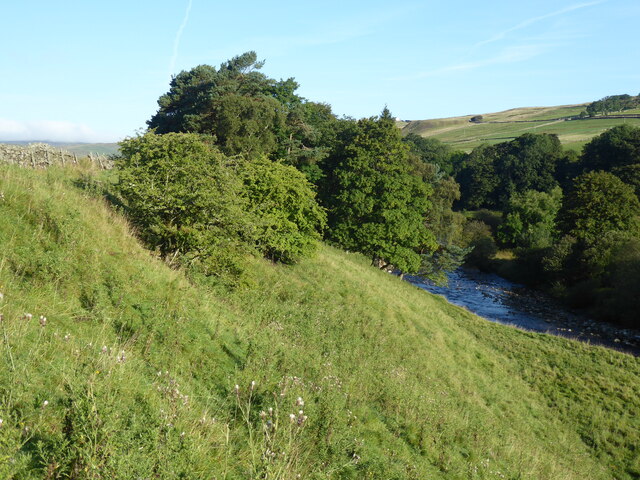
In terms of natural beauty, Battle Green boasts stunning landscapes and breathtaking views. The green fields and rolling hills provide a picturesque backdrop for visitors to enjoy and explore. The area is also home to a diverse range of flora and fauna, with various species of plants and animals thriving in this idyllic environment.

Visitors to Battle Green can engage in a variety of activities. The expansive green fields are ideal for picnics and leisurely walks, allowing visitors to immerse themselves in the tranquility of the surroundings. Additionally, the area offers opportunities for hiking and birdwatching, with several well-maintained trails that lead to vantage points offering panoramic views of the surrounding countryside.

Overall, Battle Green in Cumberland is a historically significant and visually stunning destination that offers visitors a chance to connect with nature and immerse themselves in the area's rich heritage. Whether it be exploring the remnants of the medieval battle or simply enjoying the natural beauty, Battle Green is a must-visit location for anyone seeking a peaceful and enriching experience.

If you have any feedback on the listing, please let us know in the comments section below.
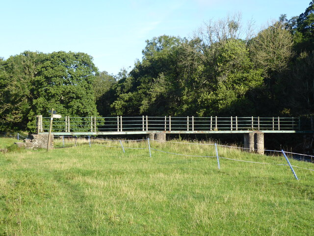
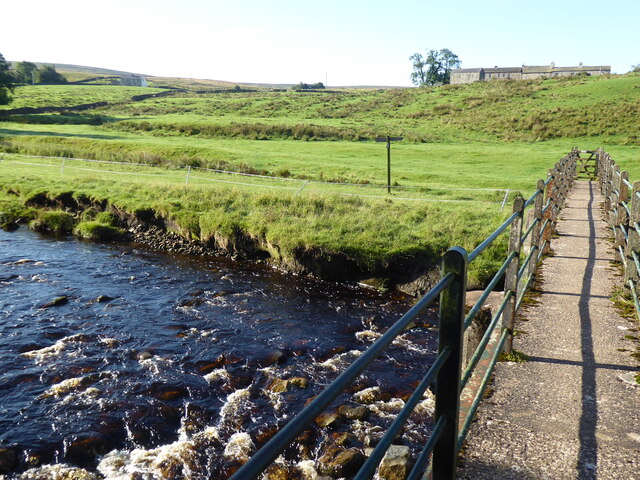
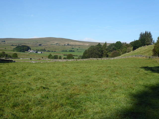
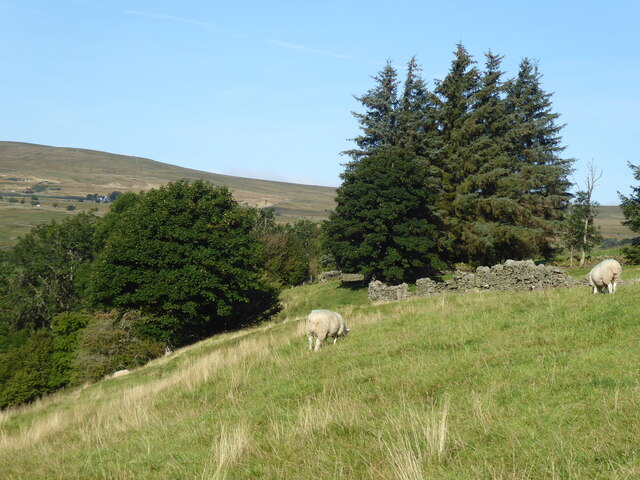
Battle Green Images

Images are sourced within 2km of 54.784734/-2.4156745 or Grid Reference NY7343. Thanks to Geograph Open Source API. All images are credited.

Across South Tynedale The River South Tyne is hidden below the line of trees at this point, but the valley is quite wide here as it receives the waters of the Black Burn a little further upstream. The valley of the Black Burn is visible in the distance.
Across South Tynedale
The River South Tyne is hidden below the line of trees at this point, but the valley is quite wide here as it receives the waters of the Black Burn a little further upstream. The valley of the Black Burn is visible in the distance.
Fields below Bleagate Across the valley of the South Tyne towards the side valley that contains Black Burn, a considerable stream and a main feeder for the South Tyne. Rain moving in from over the fells.
Fields below Bleagate
Across the valley of the South Tyne towards the side valley that contains Black Burn, a considerable stream and a main feeder for the South Tyne. Rain moving in from over the fells.
Approaching Bleagate Stone barns and white rendered house at Bleagate, where many barking dogs reside in kennels.
Approaching Bleagate
Stone barns and white rendered house at Bleagate, where many barking dogs reside in kennels.
Trees beside minor road - summer version The road is heading towards the village at Garrigill. An image made just over four years earlier from an almost identical position conveys a quite different feeling with snow remnants on the distant moorland slopes - <a title="https://www.geograph.org.uk/photo/5716864" href="https://www.geograph.org.uk/photo/5716864">Link</a> .
Trees beside minor road - summer version
The road is heading towards the village at Garrigill. An image made just over four years earlier from an almost identical position conveys a quite different feeling with snow remnants on the distant moorland slopes - Link .
Path, ferns and wall close to River South Tyne The footpath is the route of the Pennine Way, here heading towards Garrigill. The river lies to the left, beyond bushes and trees.
Path, ferns and wall close to River South Tyne
The footpath is the route of the Pennine Way, here heading towards Garrigill. The river lies to the left, beyond bushes and trees.
Mine spoil heap beside Pennine Way The amount of spoil is relatively small but it's greater than just the exposed stony material. It extends to the right where it's grassed over and ends at what must be a mine level which is almost hidden and is flooded to its roof.
Mine spoil heap beside Pennine Way
The amount of spoil is relatively small but it's greater than just the exposed stony material. It extends to the right where it's grassed over and ends at what must be a mine level which is almost hidden and is flooded to its roof.
The Pennine Way near Garrigill
The Pennine Way near Low Redwing
The Pennine Way near High Skydes
The Pennine Way near Dryburn
The Pennine Way near Meadow Flat
The Pennine Way near Low Scilly Hall
The Pennine Way near High Nest
The River South Tyne north west of Garrigill
The River South Tyne north west of Garrigill (2)
Old railway goods van by the River South Tyne north west of Garrigill See also <a href="https://www.geograph.org.uk/photo/7547799">NY7341 : Scrapyard by the River South Tyne north west of Garrigill</a>.
Old railway goods van by the River South Tyne north west of Garrigill
Show me another place!

Battle Green is located at Grid Ref: NY7343 (Lat: 54.784734, Lng: -2.4156745)

Administrative County: Cumbria

District: Eden

Police Authority: Cumbria

What 3 Words

///mailings.sounding.given. Near Alston, Cumbria

Nearby Locations

Battle Green

Related Wikis

Garrigill

Garrigill, Cumbria is a small village in the North Pennine region of the UK, situated on the banks and close to the source of the River South Tyne. Historically...

Leadgate, Cumbria

Leadgate is a small hamlet located at the foot of Hartside Fell between the town of Alston and the village of Garrigill in the parish of Alston Moor in...

A686 road

The A686 is a road in Northern England. It runs from Penrith in Cumbria to Haydon Bridge in Northumberland. AA Magazine named the A686 as one of their...

Bayles, Cumbria

Bayles is a hamlet near Alston in Cumbria, England.

Nearby Amenities

Located within 500m of 54.784734,-2.4156745
Source: Bing
Lat/Long: 54.7883044/-2.4196087
Power: pole
Lat/Long: 54.7832039/-2.4220907
Power: pole
Lat/Long: 54.7874743/-2.4211703
The data included in this document is from www.openstreetmap.org. The data is made available under ODbL.

Have you been to Battle Green?

Leave your review of Battle Green below (or comments, questions and feedback).