Camp Moor
Downs, Moorland in Berwickshire
Scotland
Camp Moor
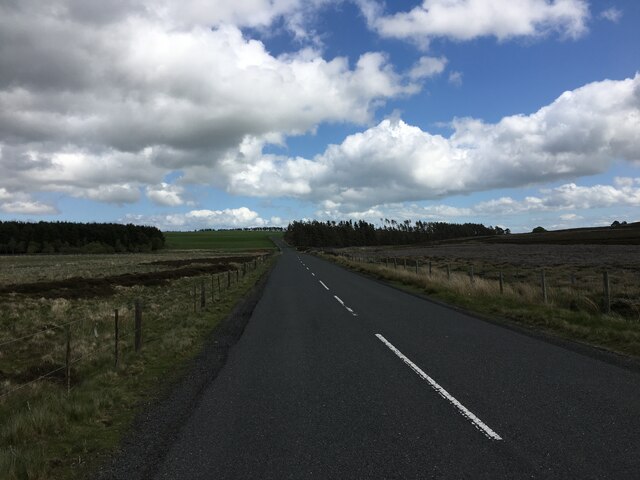
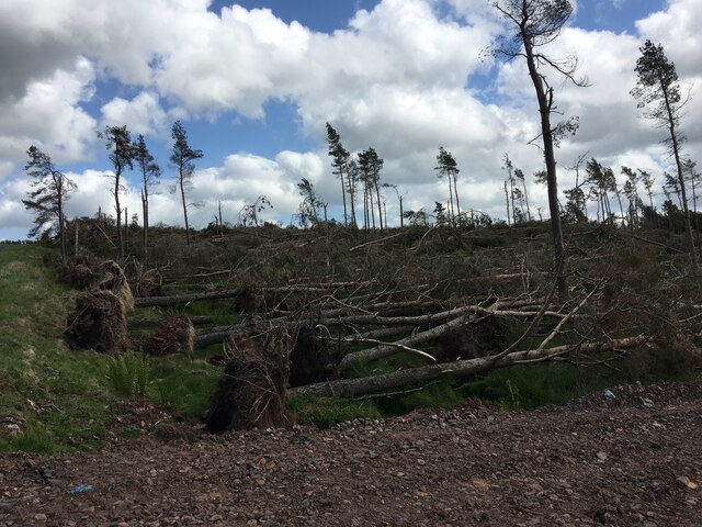
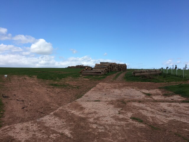
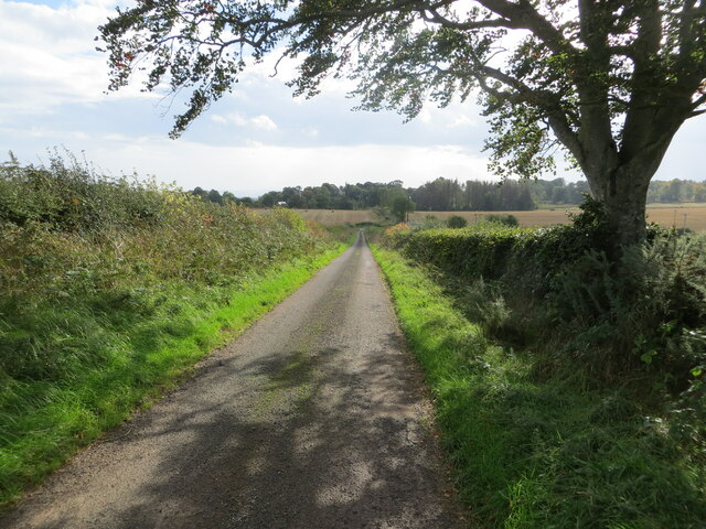
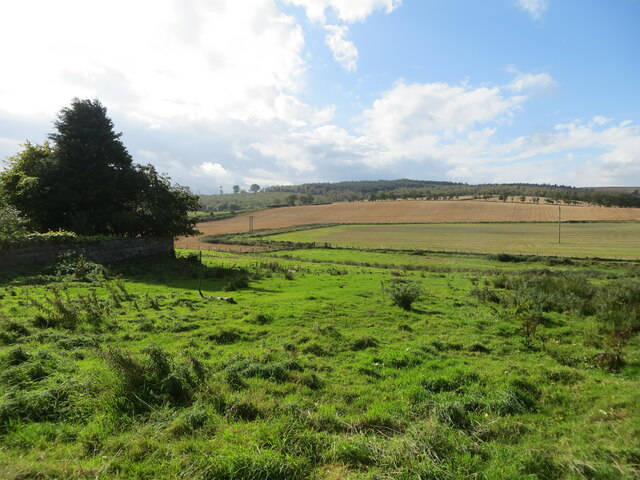
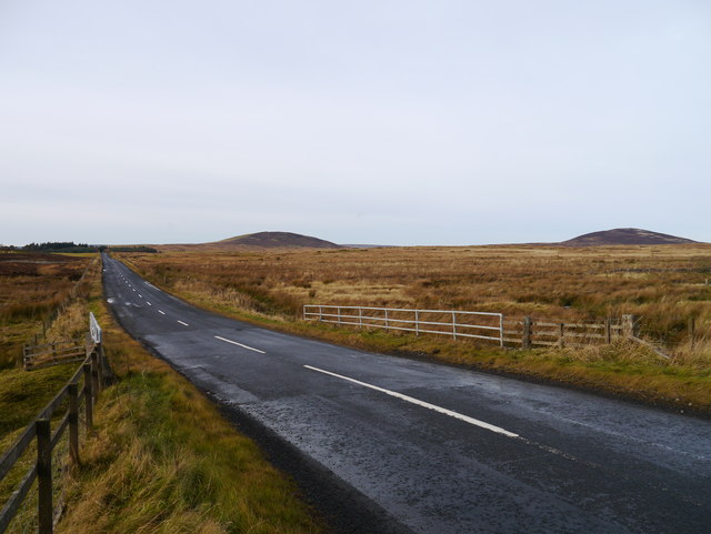
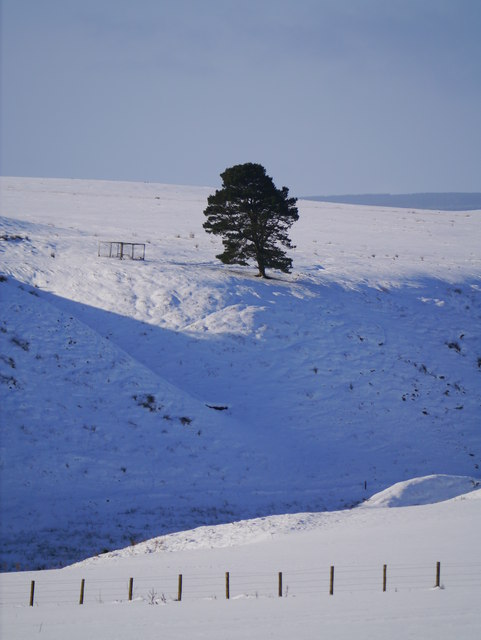
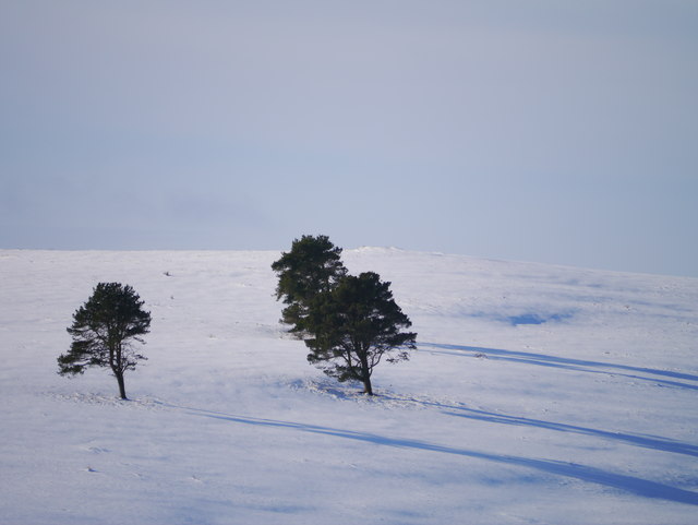
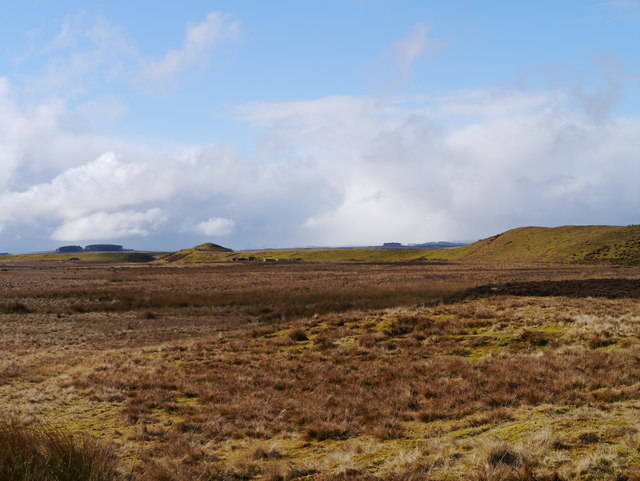
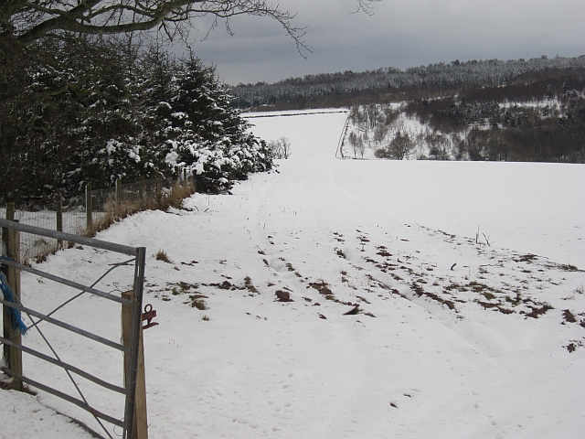
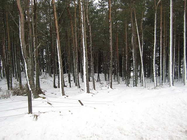
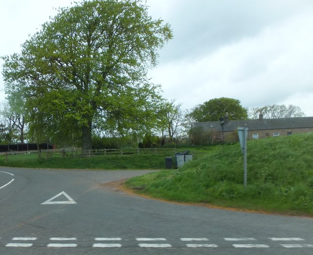
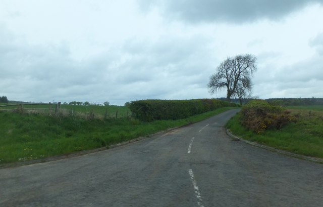
Camp Moor is a picturesque area located in Berwickshire, Scotland. Situated in the heart of the countryside, it is known for its stunning downs and moorland landscapes that stretch as far as the eye can see. The moorland is characterized by its vast open spaces, heather-covered hills, and scattered pockets of woodland.
Covering an area of approximately 1,500 acres, Camp Moor offers a rich diversity of flora and fauna. Visitors can expect to encounter a variety of wildlife, including birds such as grouse, curlew, and peregrine falcons, as well as mammals like red deer and mountain hares. The moorland is also home to a range of plant species, with vibrant purple heather dominating the landscape during the summer months.
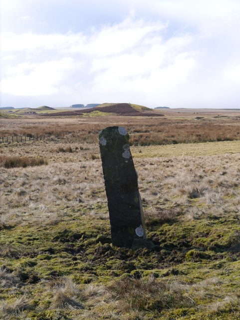
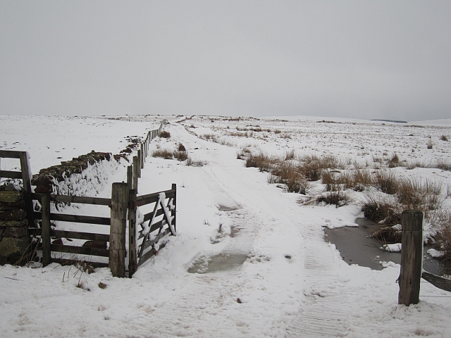
The area is a haven for outdoor enthusiasts, providing ample opportunities for activities such as walking, hiking, and bird-watching. There are several well-marked trails that traverse the moor, offering breathtaking views of the surrounding countryside. For those interested in history, Camp Moor is steeped in archaeological significance, with ancient settlements and burial sites dating back thousands of years.
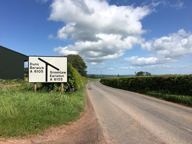
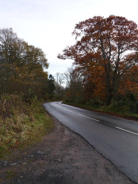
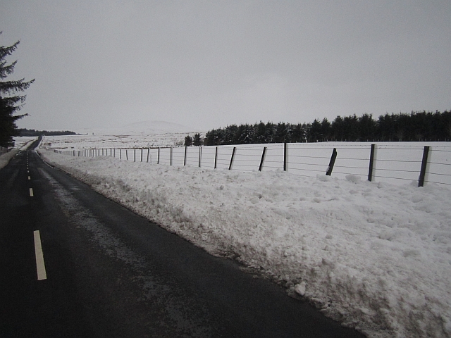
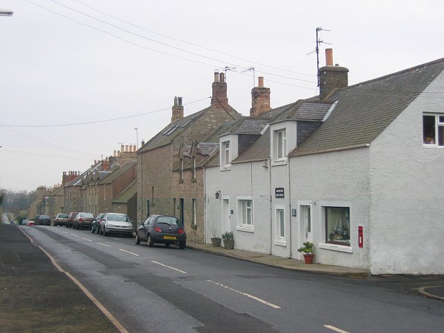
Camp Moor is easily accessible, with a network of roads leading to the area. There are also designated parking areas and information boards to guide visitors. It is important to note that the moorland can be unpredictable, with weather conditions changing rapidly, so appropriate clothing and footwear are recommended.
Overall, Camp Moor offers a serene and captivating experience for nature lovers and outdoor enthusiasts alike, with its expansive downs, moorland vistas, and abundant wildlife.
If you have any feedback on the listing, please let us know in the comments section below.
Camp Moor Images
Images are sourced within 2km of 55.757612/-2.4312732 or Grid Reference NT7351. Thanks to Geograph Open Source API. All images are credited.
Camp Moor is located at Grid Ref: NT7351 (Lat: 55.757612, Lng: -2.4312732)
Unitary Authority: The Scottish Borders
Police Authority: The Lothians and Scottish Borders
What 3 Words
///founders.mermaids.defining. Near Duns, Scottish Borders
Nearby Locations
Related Wikis

Polwarth, Scottish Borders
Polwarth (Scots: Polart) is a village and parish in the Scottish Borders area of Scotland. It is located at grid reference NT745502, between Greenlaw and...

Berwickshire, Roxburgh and Selkirk (UK Parliament constituency)
Berwickshire, Roxburgh and Selkirk is a constituency of the British House of Commons, located in the south of Scotland within the Scottish Borders council...

Polwarth Castle
Polwarth Castle was a castle, located near Polwarth, Scottish Borders in Scotland. == History == Held by the Polwarth family it passed by marriage of Elizabeth...
Polwarth Parish Church
Polwarth Parish Church was a member church (Scots: kirk) of the Church of Scotland before closing in 2004. It is situated atop a mound off a minor...

Langton Castle
Langton Castle is a now destroyed medieval fortress at Langton, near the burgh of Duns, Berwickshire, Scotland. Little remains of the structure. ��2�...

Marchmont House
Marchmont House lies on the east side of the village of Greenlaw, and near to a church in Polwarth in Berwickshire, in the Scottish Borders area of Scotland...
Marchmont railway station
Marchmont railway station served the estate of Marchmont, Scottish Borders, Scotland from 1863 to 1948 on the North British Railway. == History == The...
Gavinton
Gavinton is a small settlement in the Scottish Borders area of Scotland, 2 kilometres (1.2 mi) south-west of Duns, the former county town of Berwickshire...
Nearby Amenities
Located within 500m of 55.757612,-2.4312732Have you been to Camp Moor?
Leave your review of Camp Moor below (or comments, questions and feedback).