Alston Moor

Downs, Moorland in Cumberland Eden

England

Alston Moor

Fields below Bleagate Across the valley of the South Tyne towards the side valley that contains Black Burn, a considerable stream and a main feeder for the South Tyne. Rain moving in from over the fells.
Fields below Bleagate Credit: Gordon Hatton

Alston Moor is a picturesque region located in the administrative county of Cumberland, England. Nestled in the northern part of the Pennines, it is a rural area encompassing a mix of downs and moorland landscapes. With a population of around 2,000 people, the region is known for its serene and unspoiled beauty.

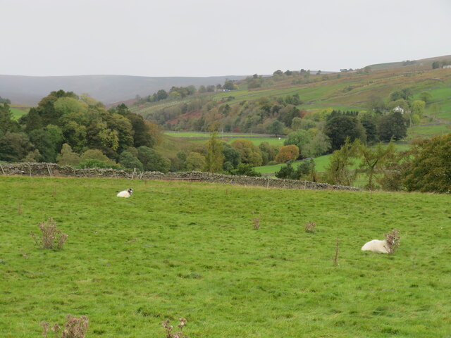
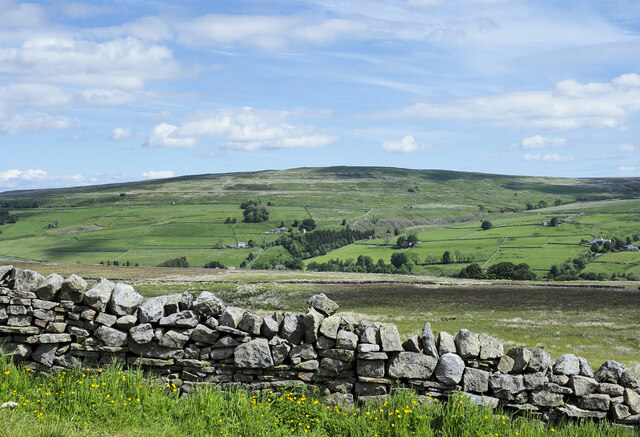
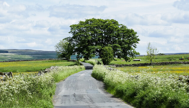
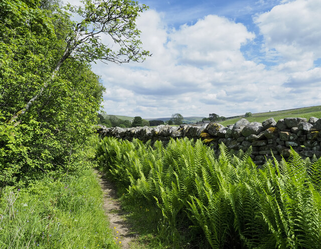
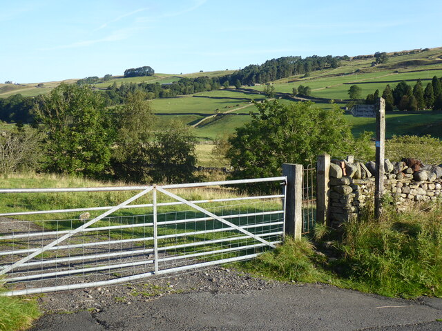
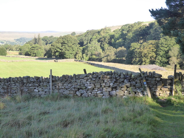
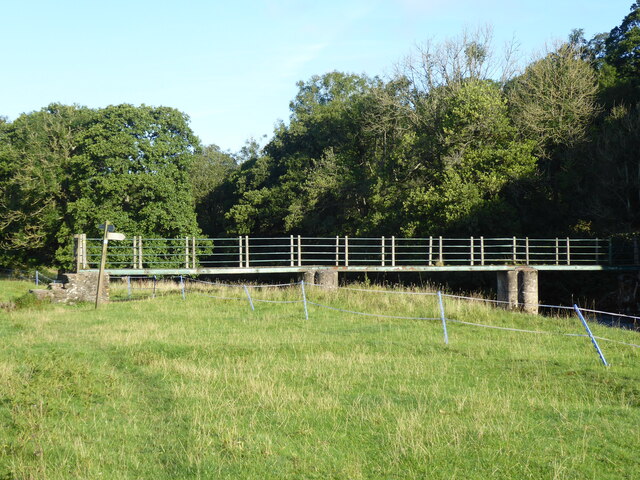
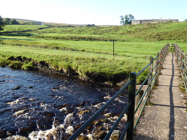
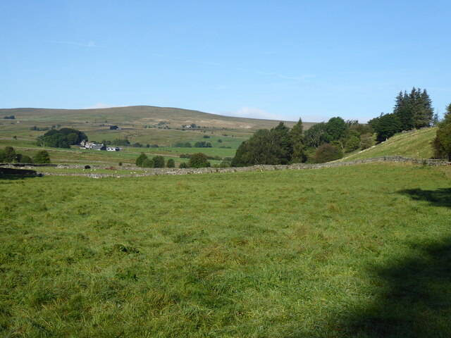
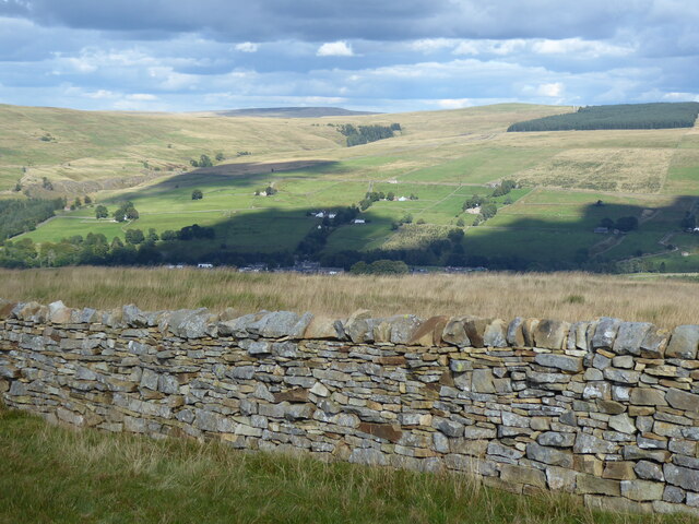
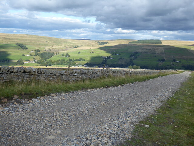
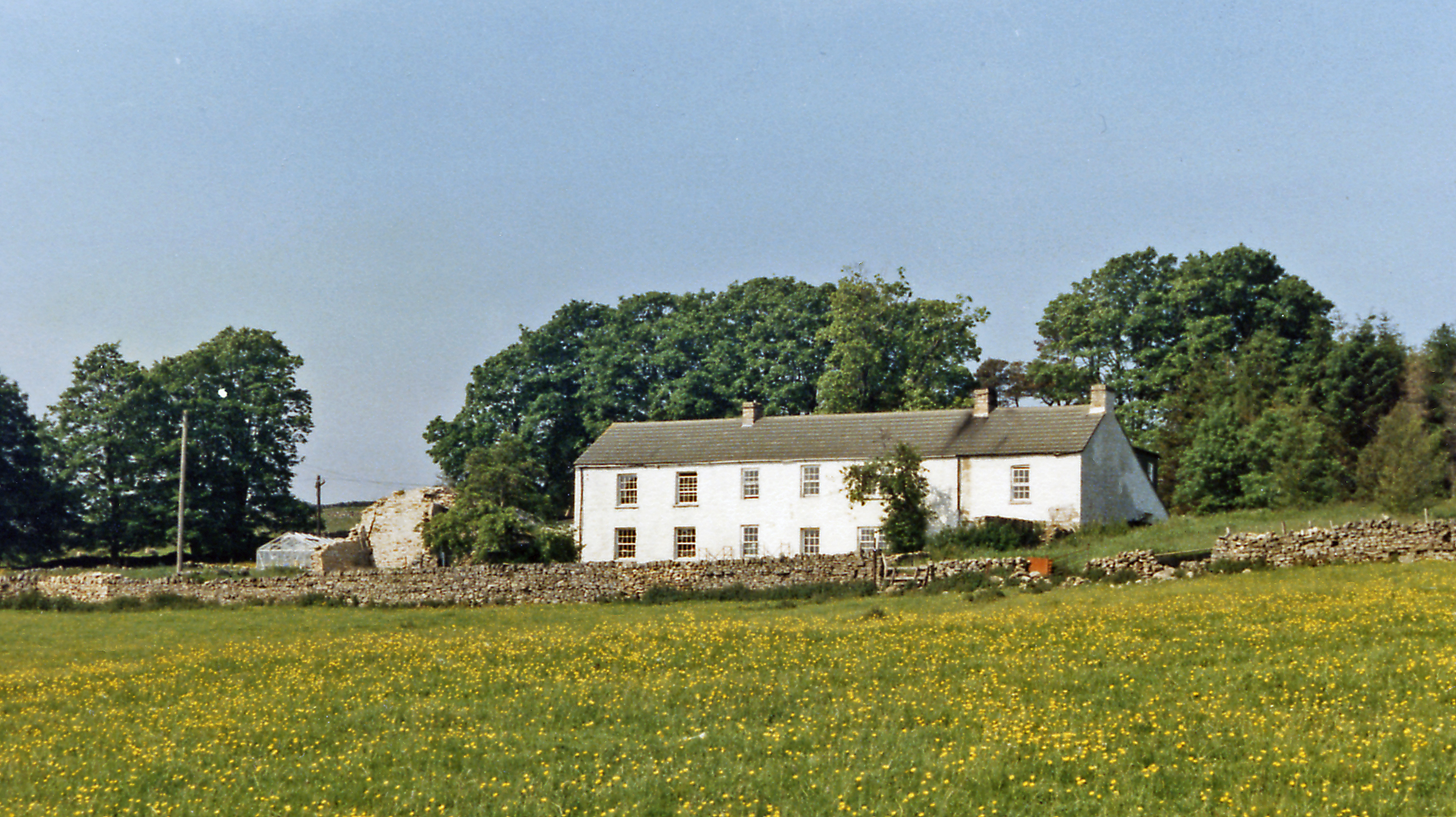
The downs of Alston Moor are characterized by gently rolling hills and green pastures, providing ideal grazing land for livestock farming. The pastoral scenery is dotted with quaint villages and scattered farmhouses, offering a sense of tranquility to residents and visitors alike.

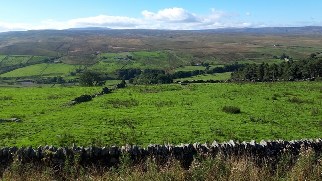
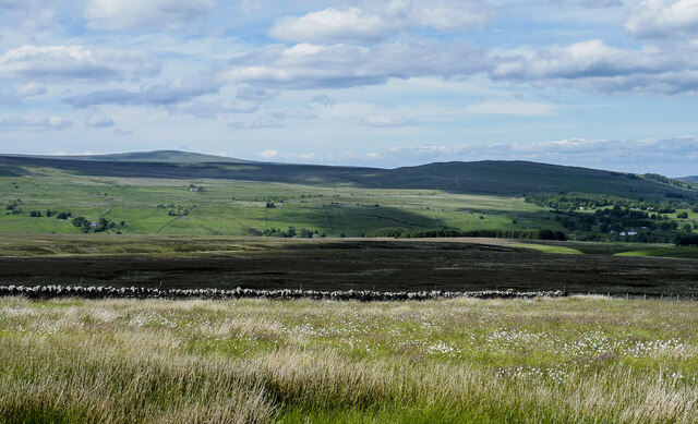
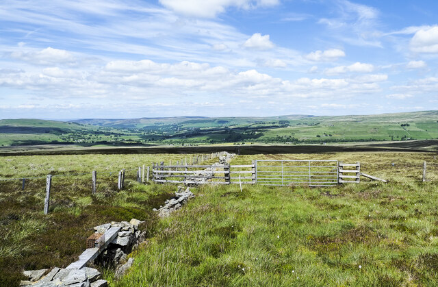
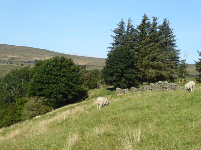
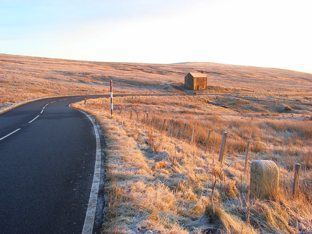
In contrast, the moorland areas of Alston Moor present a wilder and more rugged terrain. Here, heather-covered hills, rocky outcrops, and vast stretches of open land dominate the landscape. The moorlands are home to a diverse range of wildlife, including birds of prey, sheep, and grouse, making it a popular destination for nature enthusiasts and birdwatchers.

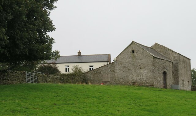
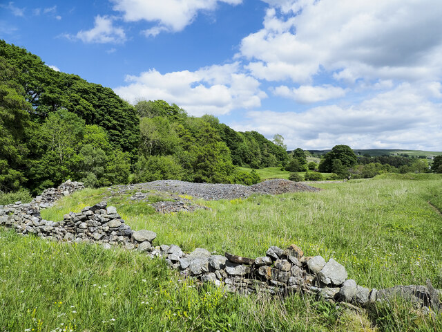
Alston Moor has a rich history, with evidence of human settlement dating back to Roman times. The region was once a thriving mining community, with lead mining being the primary industry. Today, remnants of this past mining heritage can still be seen in the form of old mine workings and buildings, adding an element of historical charm to the area.

Visitors can explore the region's natural beauty by hiking along numerous trails that crisscross the downs and moorland. Additionally, Alston Moor offers a range of activities such as fishing, cycling, and horse riding, ensuring there is something for everyone to enjoy in this tranquil corner of Cumberland.

If you have any feedback on the listing, please let us know in the comments section below.
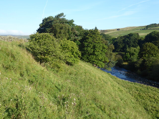
Alston Moor Images

Images are sourced within 2km of 54.772232/-2.4290388 or Grid Reference NY7242. Thanks to Geograph Open Source API. All images are credited.

Fields below Bleagate Across the valley of the South Tyne towards the side valley that contains Black Burn, a considerable stream and a main feeder for the South Tyne. Rain moving in from over the fells.
Fields below Bleagate
Across the valley of the South Tyne towards the side valley that contains Black Burn, a considerable stream and a main feeder for the South Tyne. Rain moving in from over the fells.
Approaching Bleagate Stone barns and white rendered house at Bleagate, where many barking dogs reside in kennels.
Approaching Bleagate
Stone barns and white rendered house at Bleagate, where many barking dogs reside in kennels.
Alston Moor View from the B6277.
Alston Moor
View from the B6277.
Corner of enclosure with cotton-grass Seed heads of one of the Eriophorum species of sedge, (it's not a grass), in this corner of an enclosure on Rotherhope Fell which curiously does not qualify as access land under the year 2000 CROW Act.
Grey Nag is the distant hill at the left side of the image. Park Fell is cloud-shadowed to the right.
Corner of enclosure with cotton-grass
Seed heads of one of the Eriophorum species of sedge, (it's not a grass), in this corner of an enclosure on Rotherhope Fell which curiously does not qualify as access land under the year 2000 CROW Act. Grey Nag is the distant hill at the left side of the image. Park Fell is cloud-shadowed to the right.
Grassy moorland beyond dry stone wall The wall is on the north side of the road which carries the route of the Pennine Way. The moorland beyond it is named vaguely and broadly on OS maps as Alston Moor.
The hill dome in the distance lies beyond the valley of the River South Tyne and is also named vaguely on OS Maps as (part of ) Alston Moor, and / or as Middle Fell.
Grassy moorland beyond dry stone wall
The wall is on the north side of the road which carries the route of the Pennine Way. The moorland beyond it is named vaguely and broadly on OS maps as Alston Moor. The hill dome in the distance lies beyond the valley of the River South Tyne and is also named vaguely on OS Maps as (part of ) Alston Moor, and / or as Middle Fell.
Trees beside minor road - summer version The road is heading towards the village at Garrigill. An image made just over four years earlier from an almost identical position conveys a quite different feeling with snow remnants on the distant moorland slopes - <a title="https://www.geograph.org.uk/photo/5716864" href="https://www.geograph.org.uk/photo/5716864">Link</a> .
Trees beside minor road - summer version
The road is heading towards the village at Garrigill. An image made just over four years earlier from an almost identical position conveys a quite different feeling with snow remnants on the distant moorland slopes - Link .
Path, ferns and wall close to River South Tyne The footpath is the route of the Pennine Way, here heading towards Garrigill. The river lies to the left, beyond bushes and trees.
Path, ferns and wall close to River South Tyne
The footpath is the route of the Pennine Way, here heading towards Garrigill. The river lies to the left, beyond bushes and trees.
Mine spoil heap beside Pennine Way The amount of spoil is relatively small but it's greater than just the exposed stony material. It extends to the right where it's grassed over and ends at what must be a mine level which is almost hidden and is flooded to its roof.
Mine spoil heap beside Pennine Way
The amount of spoil is relatively small but it's greater than just the exposed stony material. It extends to the right where it's grassed over and ends at what must be a mine level which is almost hidden and is flooded to its roof.
Wall and fences crossing moorland on Staneshaw Rigg Curiously the wall in the image appears to have been built in something of a groove! Is also appears to have been 'robbed' of stone. It continues ahead where grouse butts have been constructed against it at its full height - presumably, that's where the removed stone went.
Wall and fences crossing moorland on Staneshaw Rigg
Curiously the wall in the image appears to have been built in something of a groove! Is also appears to have been 'robbed' of stone. It continues ahead where grouse butts have been constructed against it at its full height - presumably, that's where the removed stone went.
The Pennine Way near Garrigill
The Pennine Way near Low Redwing
The Pennine Way near High Skydes
The Pennine Way near Dryburn
The Pennine Way near Meadow Flat
The Pennine Way near Low Scilly Hall
View towards Garrigill from the Pennine Way
The Pennine Way near Black Band
Show me another place!

Alston Moor is located at Grid Ref: NY7242 (Lat: 54.772232, Lng: -2.4290388)

Administrative County: Cumbria

District: Eden

Police Authority: Cumbria

What 3 Words

///rejoins.passion.view. Near Alston, Cumbria

Nearby Locations

Alston Moor

Related Wikis

Nearby Amenities

Located within 500m of 54.772232,-2.4290388
Abandoned: yes
Man Made: mineshaft
Lat/Long: 54.7734155/-2.4315192
Abandoned: yes
Man Made: mineshaft
Lat/Long: 54.7692173/-2.4309465
Abandoned: yes
Man Made: mineshaft
Lat/Long: 54.7696944/-2.4322179
Abandoned: yes
Man Made: mineshaft
Lat/Long: 54.7695244/-2.43302
Abandoned: yes
Man Made: mineshaft
Lat/Long: 54.7691627/-2.4339363
Abandoned: yes
Man Made: mineshaft
Lat/Long: 54.7689757/-2.4343585
The data included in this document is from www.openstreetmap.org. The data is made available under ODbL.

Have you been to Alston Moor?

Leave your review of Alston Moor below (or comments, questions and feedback).