Barney Shaw
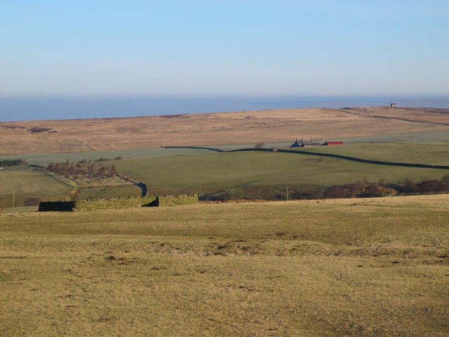
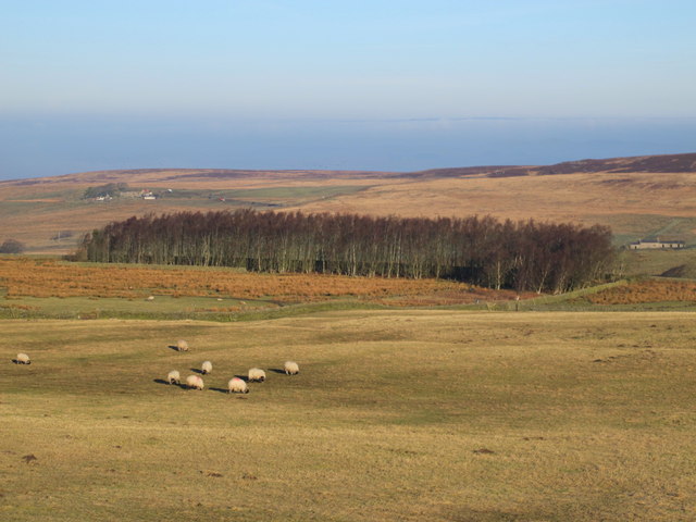
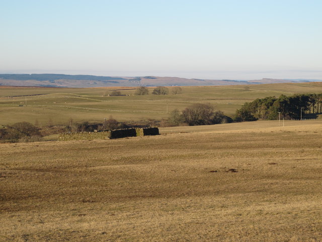
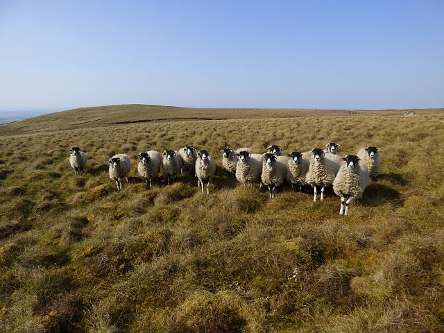
Downs, Moorland in Northumberland
England
Barney Shaw

Barney Shaw is a picturesque village located in the Northumberland region of England. Situated amidst the stunning landscapes of the Northumberland Downs, Moorland, and countryside, it offers residents and visitors alike a tranquil and idyllic setting to enjoy.
The village is known for its charming and well-preserved architecture, with traditional stone cottages lining the streets. The friendly and close-knit community of Barney Shaw adds to its charm, making it a welcoming place for people of all ages.
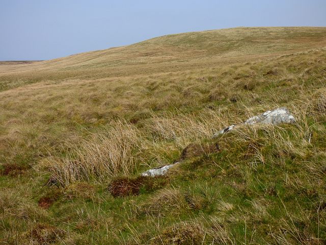
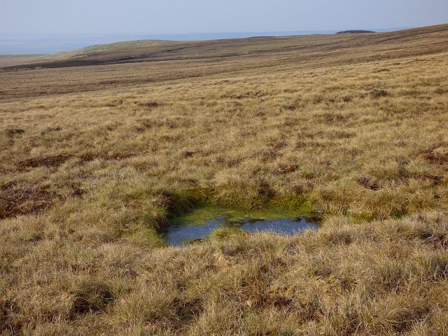
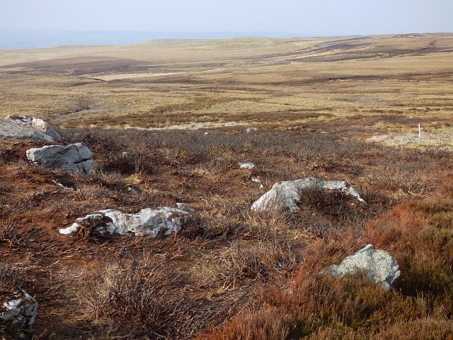
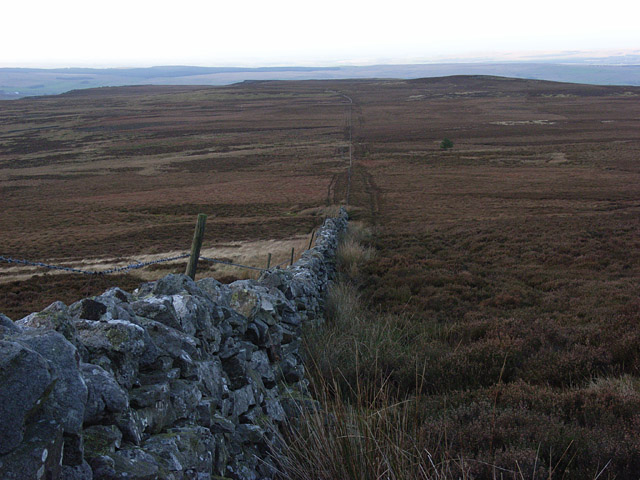
Nature lovers will be delighted by the surrounding area, as Barney Shaw is nestled within the Northumberland Downs, Moorland, and countryside. Rolling hills, green meadows, and extensive moorlands provide ample opportunities for outdoor activities such as hiking, cycling, and birdwatching.
The village itself boasts a range of amenities to cater to the needs of its residents. A local pub, village shop, and post office serve as focal points for socializing and meeting neighbors. The community also takes pride in its well-maintained village hall, which hosts a variety of events and activities throughout the year, fostering a strong sense of community spirit.
Barney Shaw is conveniently located near several notable attractions. The historic town of Alnwick, famous for its stunning castle and beautiful gardens, is just a short drive away. Additionally, the Northumberland National Park, Hadrian's Wall, and the Northumberland Coast are within easy reach, offering visitors a wealth of natural and cultural wonders to explore.
In summary, Barney Shaw is a charming village situated amidst the stunning landscapes of the Northumberland Downs, Moorland, and countryside. With its friendly community, well-preserved architecture, and access to beautiful natural surroundings, it is a delightful place to live or visit.
If you have any feedback on the listing, please let us know in the comments section below.
Barney Shaw Images
Images are sourced within 2km of 54.906871/-2.4306106 or Grid Reference NY7256. Thanks to Geograph Open Source API. All images are credited.


Barney Shaw is located at Grid Ref: NY7256 (Lat: 54.906871, Lng: -2.4306106)
Unitary Authority: Northumberland
Police Authority: Northumbria
What 3 Words
///loitering.listening.balconies. Near Haltwhistle, Northumberland
Nearby Locations
Related Wikis

Coanwood Friends Meeting House
Coanwood Friends Meeting House is a redundant Quaker meeting house under the care of the Historic Chapels Trust. It stands in an isolated, sparsely populated...

Coanwood
Coanwood is a village in Northumberland, England, and is part of the Parish of Haltwhistle. It is about four miles (6 km) to the south-west of Haltwhistle...

Coanwood railway station
Coanwood was a railway station on the Alston Branch Line, which ran between Haltwhistle and Alston. The station, situated 4 miles (6 km) south-west of...

Lambley railway station
Lambley was a railway station on the Alston Branch Line, which ran between Haltwhistle and Alston. The station, situated 4+3⁄4 miles (8 km) south-west...

Lambley, Northumberland
Lambley, formerly known as Harper Town, is a village and former civil parish, now in the parish of Coanwood, in Northumberland, England about four miles...

Whitfield, Northumberland
Whitfield is a village and former civil parish, now in the parish of Plenmeller with Whitfield, in the county of Northumberland, England about 10 miles...

Rowfoot
Rowfoot is a hamlet in Northumberland, England at grid reference NY6849860722. == External links == Media related to Rowfoot at Wikimedia Commons
Unthank, Haltwhistle
Unthank is a village near Haltwhistle in Northumberland, England. It is first mentioned in writing as Unthanc around 1200. == Governance == Unthank is...
Nearby Amenities
Located within 500m of 54.906871,-2.4306106Have you been to Barney Shaw?
Leave your review of Barney Shaw below (or comments, questions and feedback).