Bridle Green

Downs, Moorland in Northumberland

England

Bridle Green

Stile near High Ramshaw Clearly nobody has walked this way since the snowfall of some days previously.
Stile near High Ramshaw Credit: Oliver Dixon

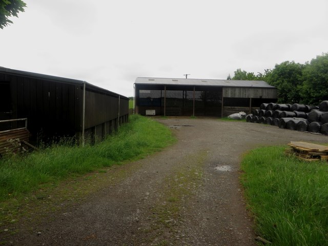
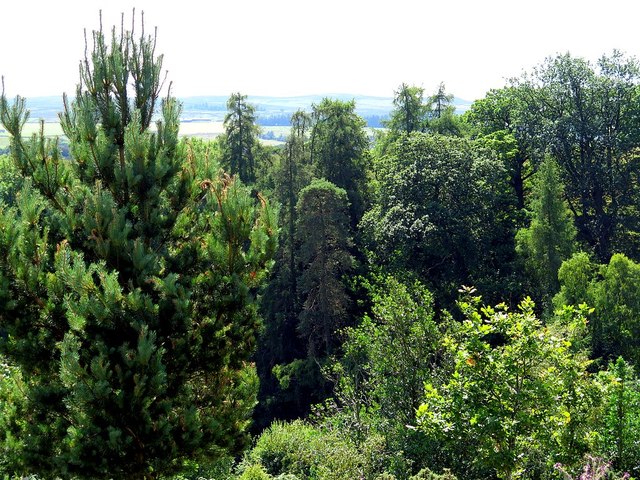
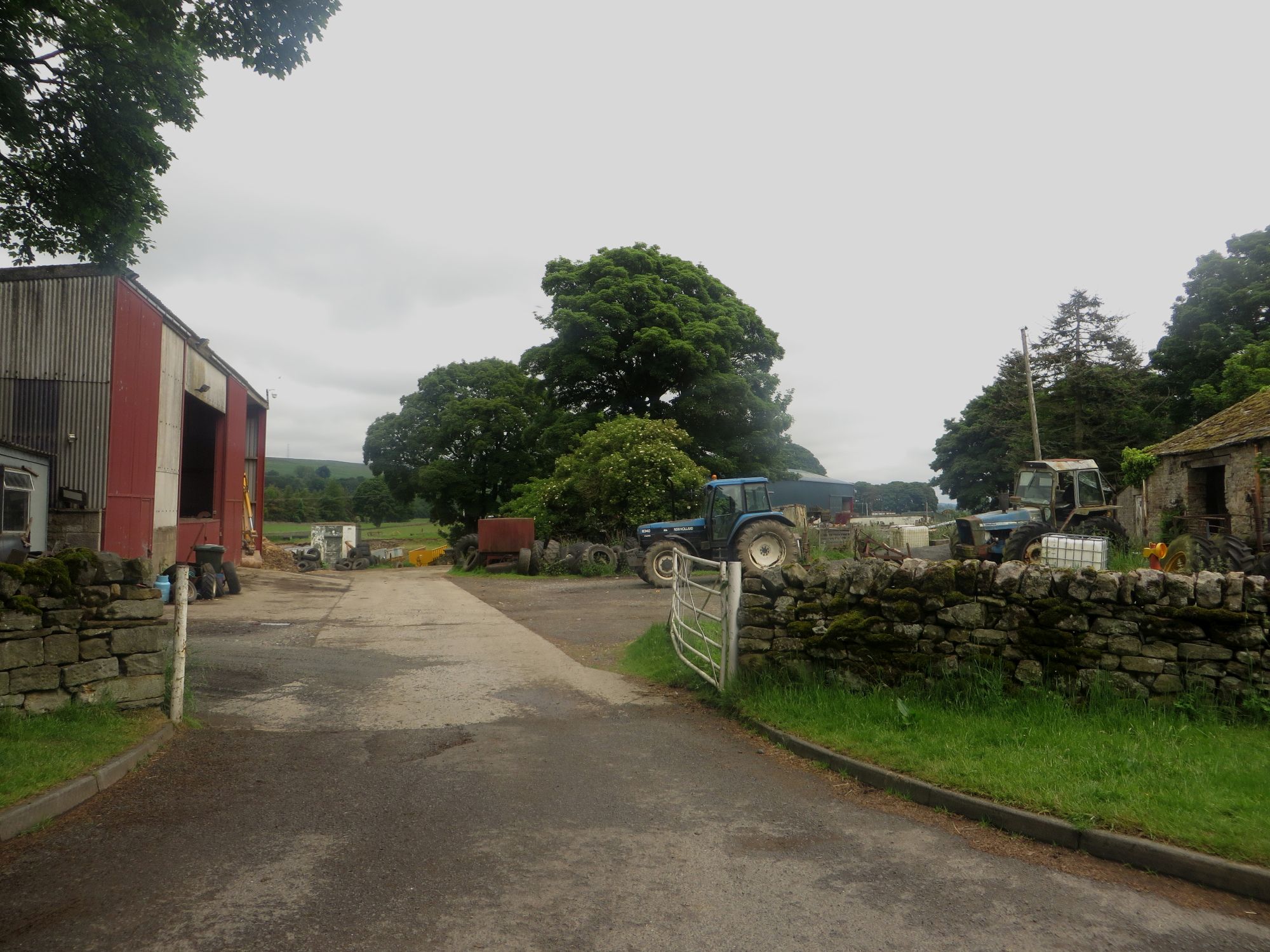
Bridle Green is a picturesque region located in the heart of Northumberland, encompassing both downs and moorland landscapes. Situated amidst the stunning Northumberland National Park, this area boasts breathtaking natural beauty and is a haven for outdoor enthusiasts and nature lovers.

The downs of Bridle Green offer rolling hills and expansive meadows, providing a tranquil setting for leisurely walks and scenic picnics. Visitors can revel in the panoramic views of the surrounding countryside, dotted with charming farmhouses and grazing livestock. The downs are known for their rich biodiversity, with a wide variety of plant and animal species inhabiting the area.

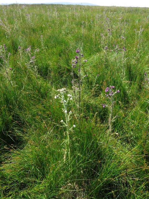
In contrast, the moorland of Bridle Green presents a wild and rugged terrain, characterized by vast stretches of heather and peat bogs. This unique landscape is home to a multitude of bird species, including the iconic red grouse, which can often be spotted darting between the heather. The moorland also offers a sense of tranquility and solitude, making it an ideal location for those seeking a peaceful retreat from the hustle and bustle of daily life.

Bridle Green is not only a haven for nature enthusiasts but also offers a range of outdoor activities. Hiking and cycling trails crisscross the region, allowing visitors to explore the diverse landscapes at their own pace. Additionally, the area is renowned for its excellent fishing opportunities, with several rivers and lakes teeming with trout and salmon.

In summary, Bridle Green in Northumberland is a captivating region that showcases the beauty of downs and moorland landscapes. With its stunning vistas, diverse wildlife, and abundance of outdoor activities, this area is a true gem for both locals and tourists alike.

If you have any feedback on the listing, please let us know in the comments section below.
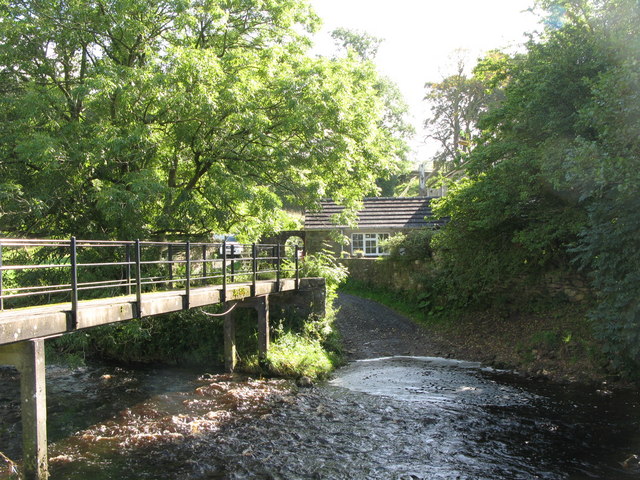
Bridle Green Images

Images are sourced within 2km of 54.950452/-2.4462526 or Grid Reference NY7161. Thanks to Geograph Open Source API. All images are credited.

Stile near High Ramshaw Clearly nobody has walked this way since the snowfall of some days previously.
Stile near High Ramshaw
Clearly nobody has walked this way since the snowfall of some days previously.
Footpath through Bellister Bank Wood
Farm buildings at Broomhouse A couple of modern agricultural buildings at Broomhouse farm. A stack of wrapped bales, possibly haylage sits in the corner of the yard.
Farm buildings at Broomhouse
A couple of modern agricultural buildings at Broomhouse farm. A stack of wrapped bales, possibly haylage sits in the corner of the yard.
Stone farm buildings at Broomhouse One part of the traditional range of farm buildings at Broomhouse.
Stone farm buildings at Broomhouse
One part of the traditional range of farm buildings at Broomhouse.
The South Tyne Trail near Broomhouse The South Tyne Trail is also part of National Cycle Network Route 68 and follows the course of the former Haltwhistle to Alston railway
The South Tyne Trail near Broomhouse
The South Tyne Trail is also part of National Cycle Network Route 68 and follows the course of the former Haltwhistle to Alston railway
Riverside footpath below Bellister Bank
Valley-side above Park Burn
Wooded valley of Park Burn near Lynnshield
Footpath to Broomhouse Common east of Lynnshield
Stoutdyke Head A small ruined farmstead on hilltop west of Broomhouse Common halfway between Lynnshield and Broomhouse farms.

The National Trust Heritage Record (HBSMR: MNA161716) describes the site as:
"Partly tumbled walling of a rectangular building and the footings of walls from a yard on the north side mark the site of a herds cottage or simple steading shown as Stoutdyke Head on the older Ordnance Survey maps. A boundary cast, which may have given the site its name, runs up to the site."
<span class="nowrap"><a title="https://heritagerecords.nationaltrust.org.uk/HBSMR/MonRecord.aspx?uid=MNA161716" rel="nofollow ugc noopener" href="https://heritagerecords.nationaltrust.org.uk/HBSMR/MonRecord.aspx?uid=MNA161716">Link</a><img style="margin-left:2px;" alt="External link" title="External link - shift click to open in new window" src="https://s1.geograph.org.uk/img/external.png" width="10" height="10"/></span>
Stoutdyke Head
A small ruined farmstead on hilltop west of Broomhouse Common halfway between Lynnshield and Broomhouse farms. The National Trust Heritage Record (HBSMR: MNA161716) describes the site as: "Partly tumbled walling of a rectangular building and the footings of walls from a yard on the north side mark the site of a herds cottage or simple steading shown as Stoutdyke Head on the older Ordnance Survey maps. A boundary cast, which may have given the site its name, runs up to the site." LinkExternal link
White-flowered thistle near Stoutdyke Head
Unenclosed pasture woodland, Bellister Estate
Field walls south of Broomhouse Farm
Forest clearing south of Broomhouse Selective felling of a proportion of Norway Spruce in enclosed plantation retaining original native species including pedunculate oak with aim of restoring native woodland by replanting and natural regeneration <a href="https://www.geograph.org.uk/photo/5840891">NY6962 : Restored native woodland near Broomhouse</a>
Forest clearing south of Broomhouse
Selective felling of a proportion of Norway Spruce in enclosed plantation retaining original native species including pedunculate oak with aim of restoring native woodland by replanting and natural regeneration NY6962 : Restored native woodland near Broomhouse
Restored native woodland near Broomhouse See description here <a href="https://www.geograph.org.uk/photo/5840888">NY6962 : Forest clearing south of Broomhouse</a>
Restored native woodland near Broomhouse
Selective felling near Broomhouse Tubes protect natural regeneration of native species.
Selective felling near Broomhouse
Tubes protect natural regeneration of native species.
Farm access track south of Broomhouse
Show me another place!

Bridle Green is located at Grid Ref: NY7161 (Lat: 54.950452, Lng: -2.4462526)

Unitary Authority: Northumberland

Police Authority: Northumbria

What 3 Words

///helping.hoot.overheard. Near Haltwhistle, Northumberland

Nearby Locations

Bridle Green

Related Wikis

Unthank, Haltwhistle

Unthank is a village near Haltwhistle in Northumberland, England. It is first mentioned in writing as Unthanc around 1200. == Governance == Unthank is...

Plenmeller

Plenmeller is a village and former civil parish, now in the parish of Plenmeller with Whitfield, in Northumberland, England about a mile (1½ km) southeast...

Haltwhistle Burn

The Haltwhistle Burn is a river which lies to the east of the Northumbrian town of Haltwhistle. Rising in the peaty uplands below the ridge of the Whin...

Bellister Castle

Bellister Castle is a National Trust owned castellated 19th-century mansion house attached to the ruinous remains of a 14th-century tower house, near...

Unthank Hall

Unthank Hall is a Grade II listed property now serving as commercial offices, situated on the southern bank of the River South Tyne east of Plenmeller...

Tipalt Burn

Tipalt Burn is a burn which lies to the east of Greenhead, Northumberland. The burn passes several historical sites such as Thirlwall Castle and discharges...

Haltwhistle railway station

Haltwhistle is a railway station on the Tyne Valley Line, which runs between Newcastle and Carlisle via Hexham. The station, situated 22 miles 66 chains...

Haltwhistle Castle

Haltwhistle Castle Hill is a ruined Norman earth and timber ringwork fortress in Haltwhistle, Northumberland, England. There are no extant stone remains...

Nearby Amenities

Located within 500m of 54.950452,-2.4462526
Hirst Top
Place: locality
Lat/Long: 54.9535696/-2.4435652
Bridle Green
Place: locality
Lat/Long: 54.9499795/-2.4466285
Barrier: cattle_grid
Lat/Long: 54.9530663/-2.4419348
The data included in this document is from www.openstreetmap.org. The data is made available under ODbL.

Have you been to Bridle Green?

Leave your review of Bridle Green below (or comments, questions and feedback).