Badgers Walk
Downs, Moorland in Worcestershire Malvern Hills
England
Badgers Walk

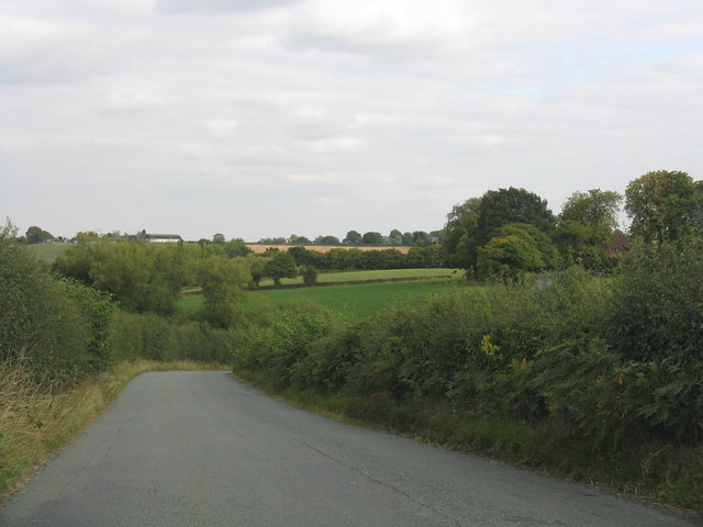
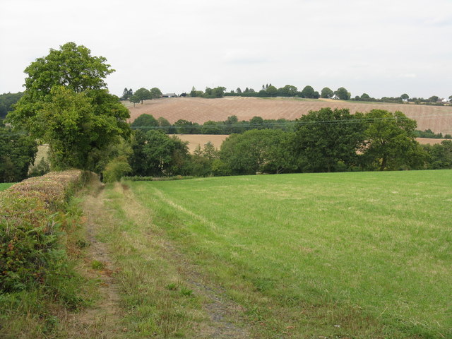
Badgers Walk is a picturesque area located in Worcestershire, known for its stunning downs and moorland landscape. Spanning approximately 10 square miles, this region is a haven for nature enthusiasts and those seeking a peaceful retreat in the heart of the English countryside.
The downs of Badgers Walk are characterized by their rolling hills and expansive grasslands, offering breathtaking panoramic views of the surrounding area. The landscape is dotted with patches of vibrant wildflowers, adding a touch of color to the otherwise green expanse. Visitors can enjoy leisurely walks or hikes along the well-maintained trails, immersing themselves in the tranquility of nature.
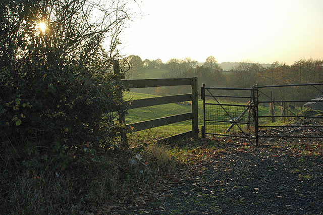
In addition to the downs, Badgers Walk is also home to vast moorland areas. These wild and untamed spaces are characterized by their rough and rugged terrain, featuring heather-covered hills and scattered clusters of trees. The moorland provides a unique habitat for a variety of wildlife, including birds of prey, deer, and, of course, badgers. Nature lovers often flock to this area for birdwatching and wildlife spotting opportunities.
Badgers Walk is well-equipped to accommodate visitors, with several picnic areas and rest spots along the trails. There are also information boards and signposts, providing details about the local flora and fauna, as well as the history of the area. Whether one is a seasoned hiker or simply looking for a peaceful escape from the city, Badgers Walk offers a truly idyllic setting to connect with nature and unwind.
If you have any feedback on the listing, please let us know in the comments section below.
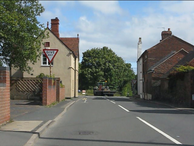
Badgers Walk Images
Images are sourced within 2km of 52.352328/-2.4202771 or Grid Reference SO7172. Thanks to Geograph Open Source API. All images are credited.


Badgers Walk is located at Grid Ref: SO7172 (Lat: 52.352328, Lng: -2.4202771)
Administrative County: Worcestershire
District: Malvern Hills
Police Authority: West Mercia
What 3 Words
///lollipop.occur.instant. Near Cleobury Mortimer, Shropshire
Nearby Locations
Related Wikis

Clows Top
Clows Top is a village in north Worcestershire, England. There is a village shop/post office, a butcher's, a village hall (named the "Victory Hall") and...
Bayton
Bayton is a village and civil parish in the Malvern Hills District of Worcestershire, England. According to the 2021 census it had a population of 535...

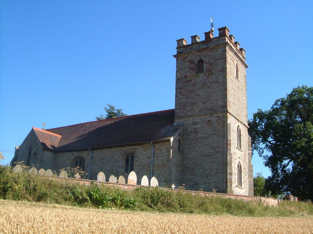
Church of St Peter and St Paul, Rock
The Church of St Peter and St Paul is an Anglican church in the village of Rock, in Worcestershire, England. It is in the parish of Rock with Heightington...

Far Forest
Far Forest is a small village in north Worcestershire, England, approximately 3.5 miles (5.6 km) west of Bewdley, and next to the border with Shropshire...

Rock moated site and medieval village
Rock moated site and medieval village is an archaeological site, including a deserted medieval village, in Worcestershire, England, near the village of...

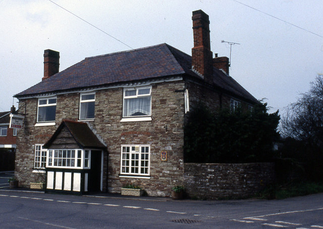
Fingerpost, Worcestershire
Fingerpost is a hamlet and road junction in north Worcestershire, England, approximately 3 miles (4.8 km) west of Bewdley. It is located at the junction...
Rock, Worcestershire
Rock is a village and civil parish in the Wyre Forest District of Worcestershire, England, which lies south-west of Bewdley. It had a population of 2,366...

Hunthouse Wood
Hunthouse Wood is a nature reserve of the Worcestershire Wildlife Trust, situated near the villages of Clows Top and Mamble, in Worcestershire, England...
Nearby Amenities
Located within 500m of 52.352328,-2.4202771Have you been to Badgers Walk?
Leave your review of Badgers Walk below (or comments, questions and feedback).