Handsacre
Settlement in Staffordshire Lichfield
England
Handsacre

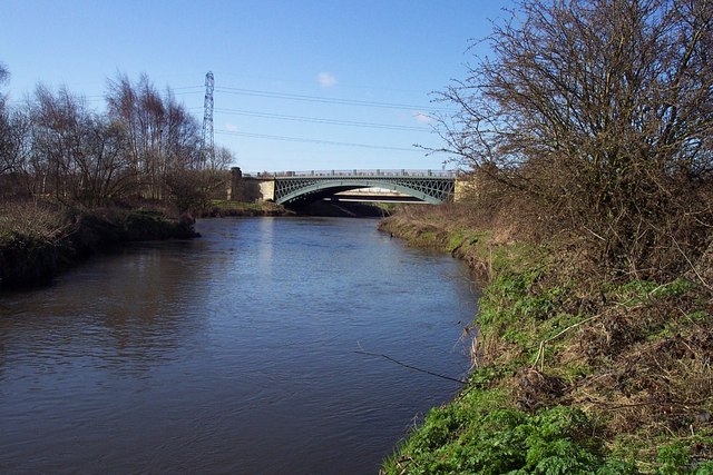
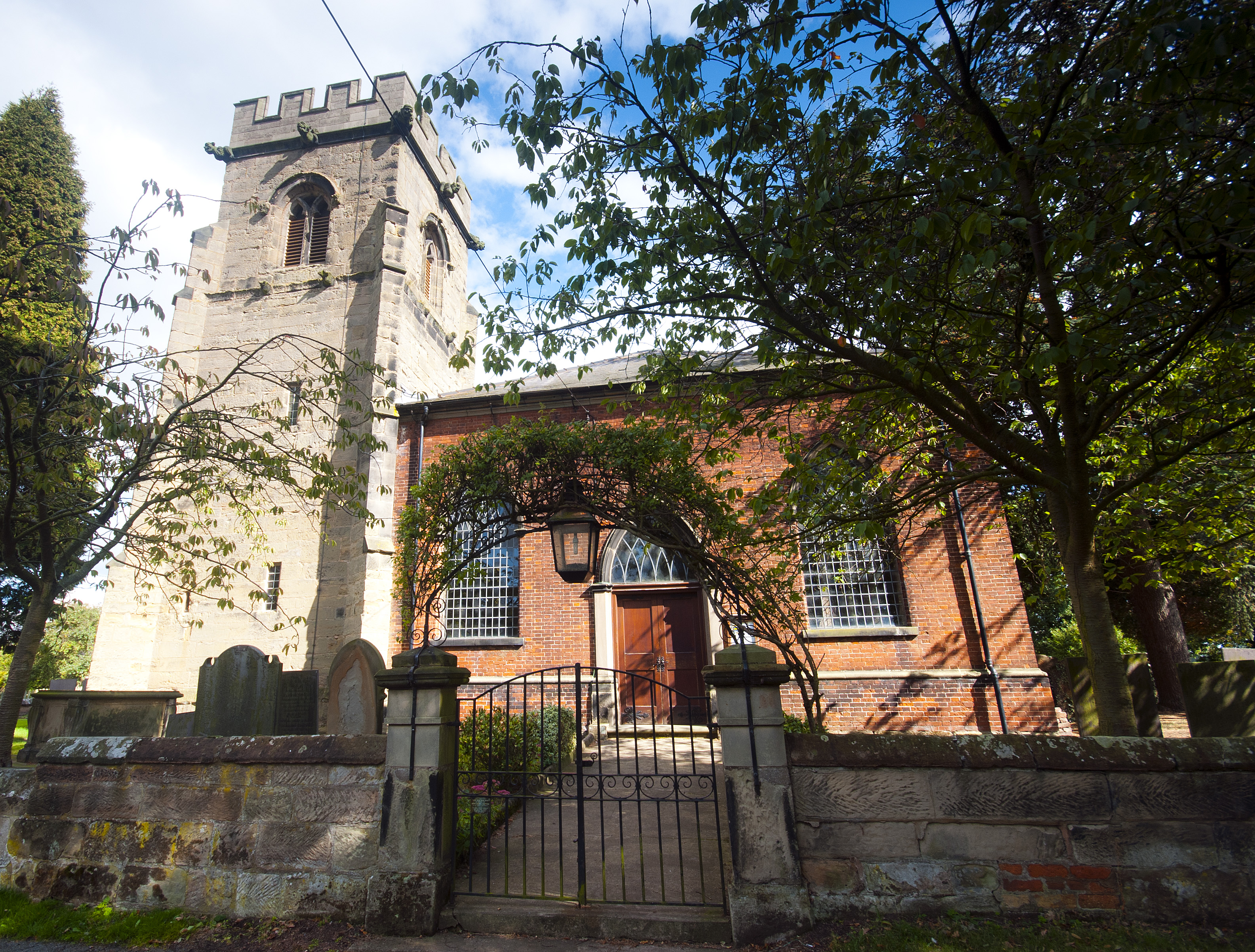
Handsacre is a small village located in Staffordshire, England. Situated on the outskirts of the town of Rugeley, Handsacre is a picturesque rural community with a population of around 2,000 residents. The village is positioned on the banks of the River Trent, offering stunning views of the surrounding countryside.
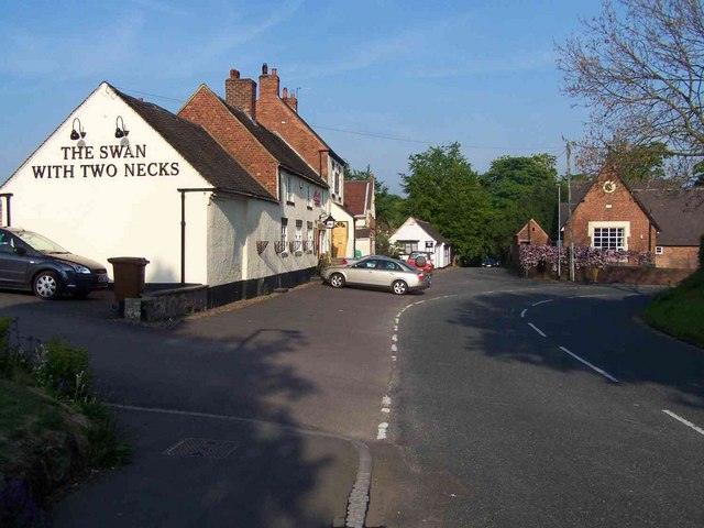
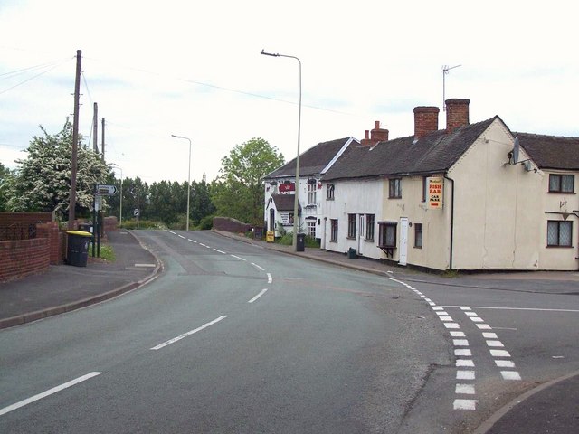
Handsacre is known for its peaceful and friendly atmosphere, making it an ideal place for families and those seeking a tranquil lifestyle. The village features a range of amenities, including a primary school, a post office, a convenience store, and several local businesses. Additionally, there are several pubs and restaurants in the area, providing residents with options for dining and socializing.
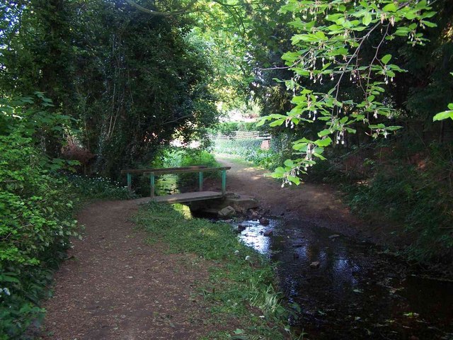
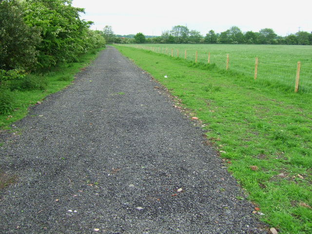
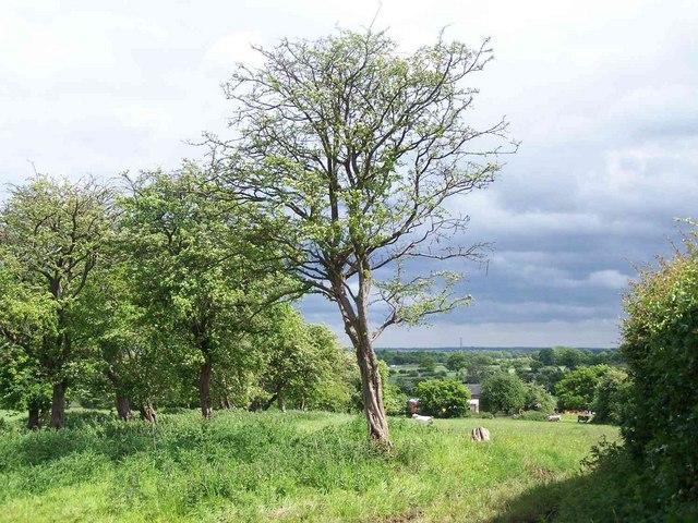
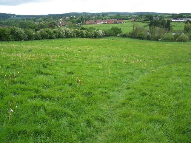
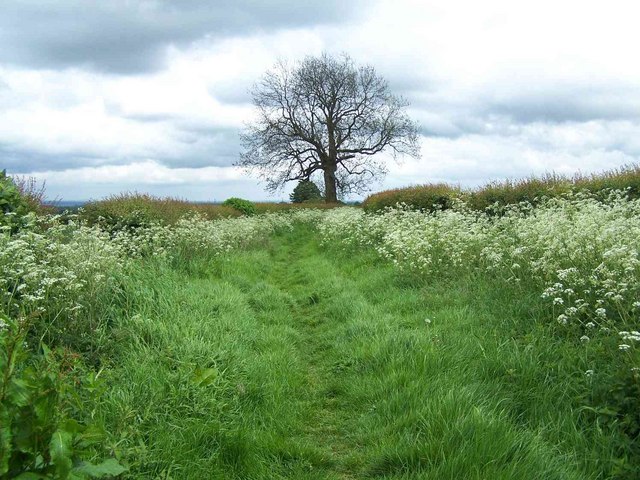
Nature enthusiasts will appreciate the abundance of outdoor spaces in Handsacre. The nearby Cannock Chase, an Area of Outstanding Natural Beauty, offers opportunities for hiking, cycling, and wildlife spotting. The village is also surrounded by farmland and picturesque fields, providing a serene environment for countryside walks.
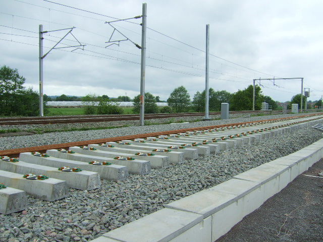
Transport links in Handsacre are convenient, with regular bus services connecting the village to neighboring towns and cities. The nearest train station is in Rugeley, providing easy access to larger urban areas such as Birmingham, Stafford, and Derby.
Overall, Handsacre offers a charming and tranquil setting, making it an attractive place to live for those seeking a close-knit community surrounded by beautiful countryside.
If you have any feedback on the listing, please let us know in the comments section below.
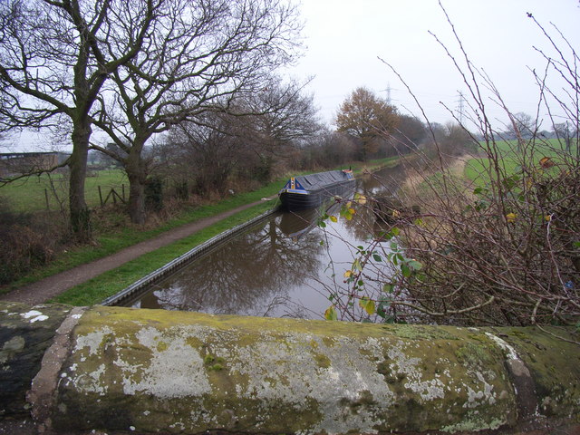
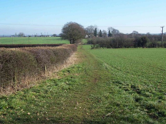
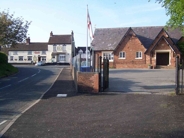
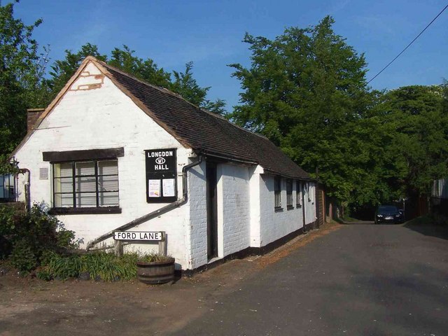
Handsacre Images
Images are sourced within 2km of 52.74027/-1.866586 or Grid Reference SK0915. Thanks to Geograph Open Source API. All images are credited.


Handsacre is located at Grid Ref: SK0915 (Lat: 52.74027, Lng: -1.866586)
Administrative County: Staffordshire
District: Lichfield
Police Authority: Staffordshire
What 3 Words
///convey.matter.contain. Near Armitage, Staffordshire
Nearby Locations
Related Wikis
Handsacre
Handsacre is a village in the English county of Staffordshire. Population details taken at the 2011 census can be found under Armitage with Handsacre...

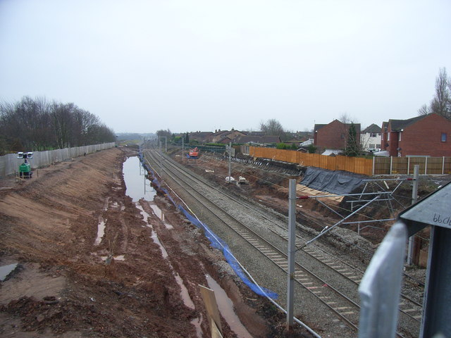
Armitage railway station
Armitage railway station was a station on the Trent Valley Line, part of what is now known as the West Coast Main Line, and served the village of Armitage...

Armitage with Handsacre
Armitage with Handsacre or just Armitage is a civil parish in the Lichfield district of Staffordshire, England. It includes the villages of Armitage and...

Armitage
Armitage is a village in Staffordshire, England on the south side of the Trent and Mersey Canal south just outside of the market town of Rugeley and north...
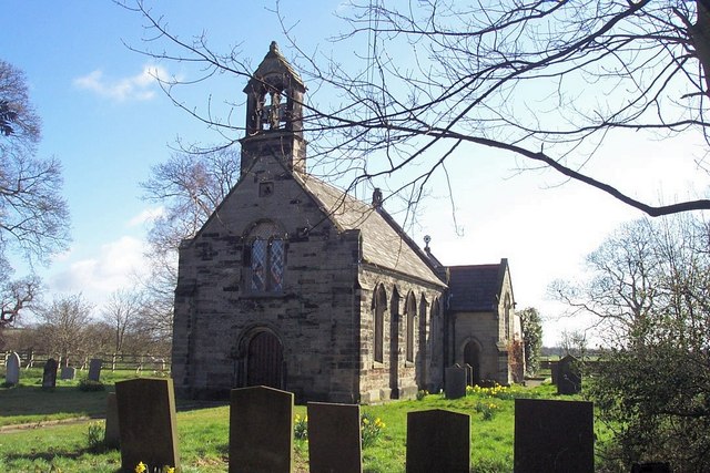
Church of St Nicholas, Mavesyn Ridware
The Church of St Nicholas is a Grade I listed parish church in the village of Mavesyn Ridware, Staffordshire, England. The church is situated at the eastern...

Mavesyn Ridware
Mavesyn Ridware is a village and civil parish in Lichfield District, Staffordshire, England. The parish had a population of 1,048 in 2001, increasing to...

Longdon, Staffordshire
Longdon is a village and civil parish in the District of Lichfield, Staffordshire, England. == Location == The village is situated midway between the town...

Hill Ridware
Hill Ridware is a small village in the civil parish of Mavesyn Ridware in the Lichfield District of Staffordshire, England. It is the largest settlement...
Nearby Amenities
Located within 500m of 52.74027,-1.866586Have you been to Handsacre?
Leave your review of Handsacre below (or comments, questions and feedback).