Dewley Field
Downs, Moorland in Northumberland
England
Dewley Field
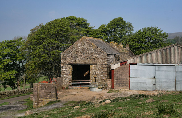
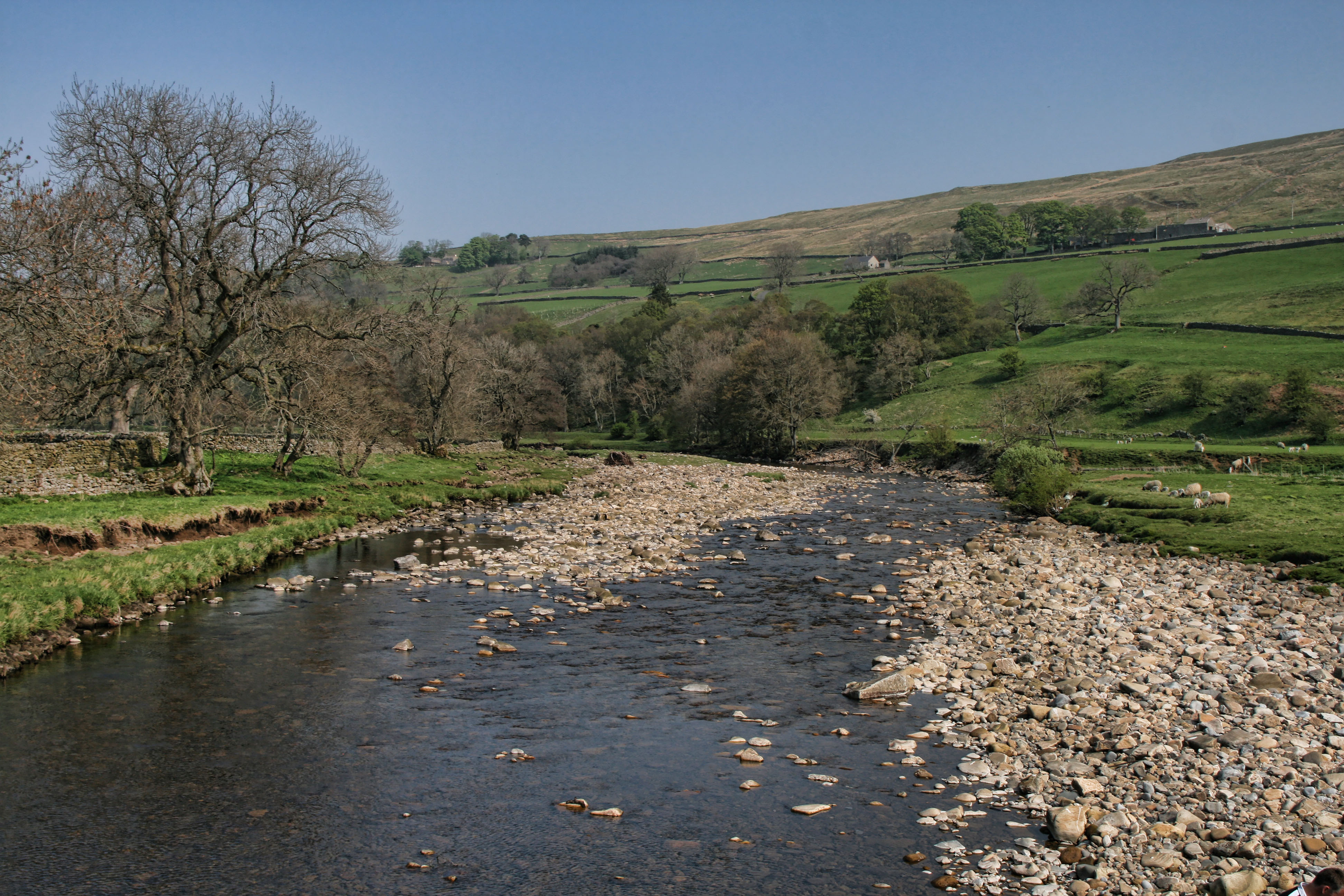
Dewley Field is a picturesque area located in Northumberland, England. Nestled amidst the stunning landscape of Northumberland Downs and Moorland, this charming field offers visitors an idyllic retreat from the hustle and bustle of city life.
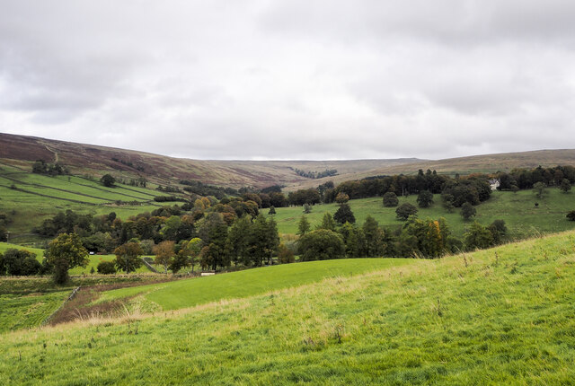
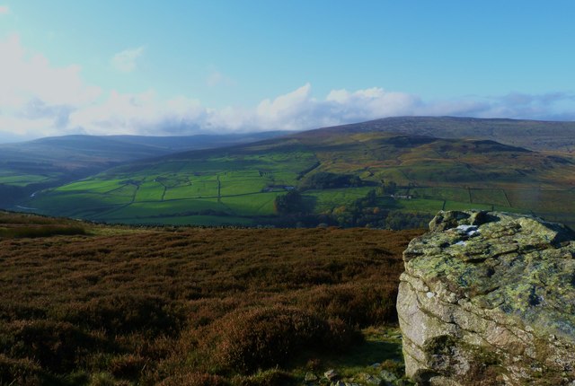
Covering an expansive area, Dewley Field is known for its rolling hills, lush greenery, and breathtaking panoramic views. The field is adorned with vibrant wildflowers during the summer months, creating a colorful and vibrant atmosphere. The rich biodiversity of the region is evident in the diverse range of flora and fauna that call Dewley Field their home.
The tranquil ambiance of Dewley Field makes it a popular spot for nature enthusiasts and outdoor lovers. Visitors can enjoy leisurely walks or embark on hiking trails that wind through the field, providing an opportunity to immerse oneself in the natural beauty of the surroundings. The field also offers ample space for picnics, allowing families and friends to enjoy a day out in a serene setting.
Dewley Field is also a haven for birdwatchers, as it attracts a wide variety of avian species. From the majestic red kites soaring through the sky to the chirping of skylarks, the field offers a unique opportunity to observe and appreciate the region's avifauna.
Additionally, Dewley Field is conveniently located near several quaint villages and towns, offering visitors the chance to explore the local culture and heritage. The field is easily accessible by car and provides parking facilities for visitors.
Overall, Dewley Field in Northumberland is a captivating natural area that boasts stunning landscapes, diverse wildlife, and a peaceful atmosphere, making it a must-visit destination for nature enthusiasts and those seeking a tranquil escape.
If you have any feedback on the listing, please let us know in the comments section below.
Dewley Field Images
Images are sourced within 2km of 54.861562/-2.4622509 or Grid Reference NY7051. Thanks to Geograph Open Source API. All images are credited.


Dewley Field is located at Grid Ref: NY7051 (Lat: 54.861562, Lng: -2.4622509)
Unitary Authority: Northumberland
Police Authority: Northumbria
What 3 Words
///cherish.informs.outnumber. Near Alston, Cumbria
Nearby Locations
Related Wikis

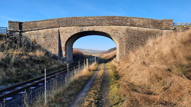
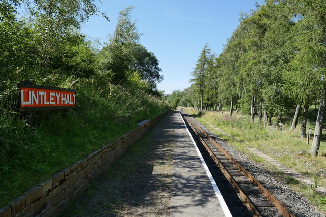
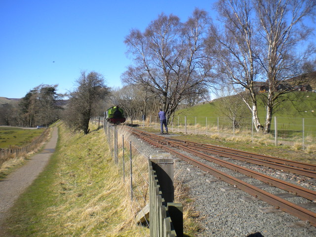
Lintley Halt railway station
Lintley Halt is a railway station on the South Tynedale Railway, which runs between Slaggyford and Alston. The station is located about 1+1⁄4 miles (2...
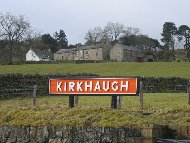
Kirkhaugh
Kirkhaugh is a very small village and former civil parish, now in the parish of Knaresdale with Kirkhaugh, adjacent to the River South Tyne in Northumberland...
Kirkhaugh railway station
Kirkhaugh is a railway station on the South Tynedale Railway, which runs between Slaggyford and Alston. The station serves the hamlet of Kirkhaugh in Northumberland...

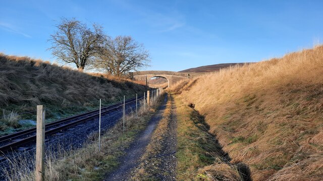
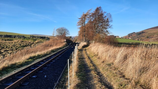
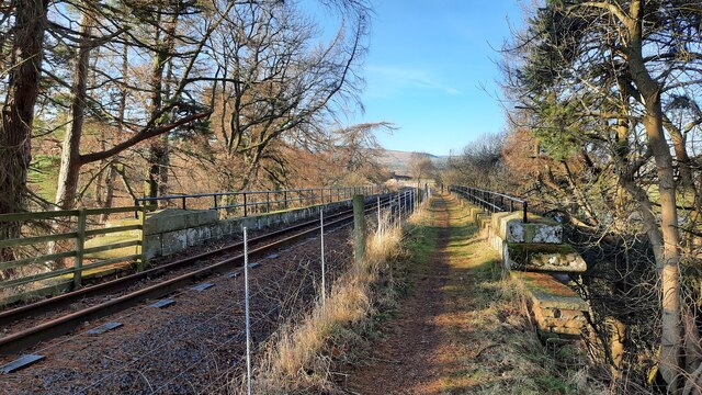
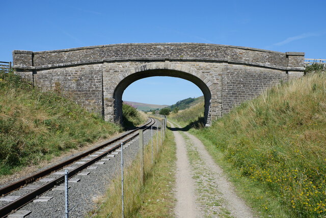
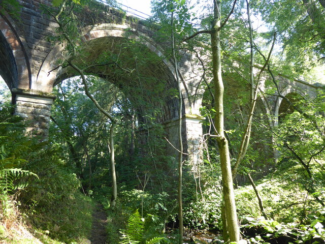
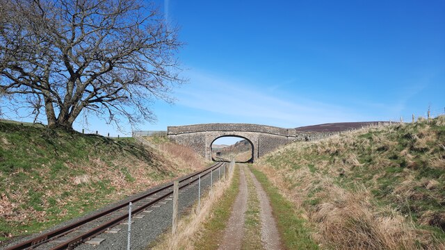
South Tynedale Railway
The South Tynedale Railway is a preserved, 2 ft (610 mm) narrow gauge heritage railway in Northern England and at 875ft is England's second highest narrow...
Nearby Amenities
Located within 500m of 54.861562,-2.4622509Have you been to Dewley Field?
Leave your review of Dewley Field below (or comments, questions and feedback).