Wennington Moss

Downs, Moorland in Yorkshire Craven

England

Wennington Moss

Greystonegill Lane approaching High Barn Looking southward. The rounded outline of Burn Moor can be seen in the far distance.
Greystonegill Lane approaching High Barn Credit: Peter Wood

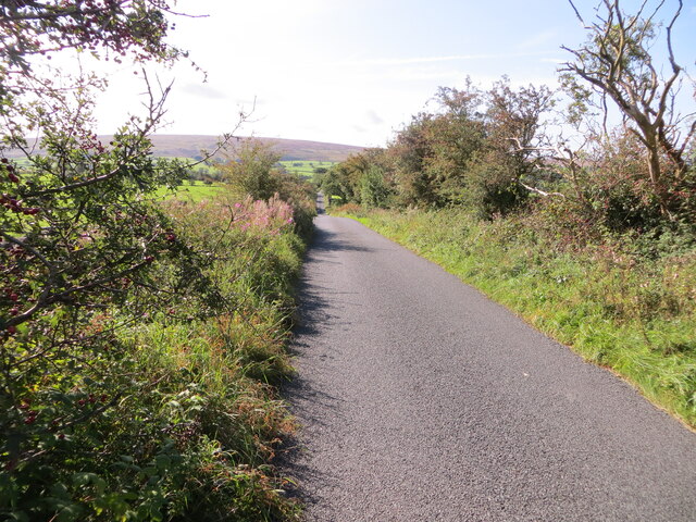
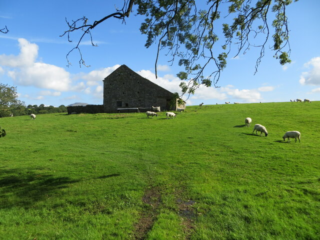
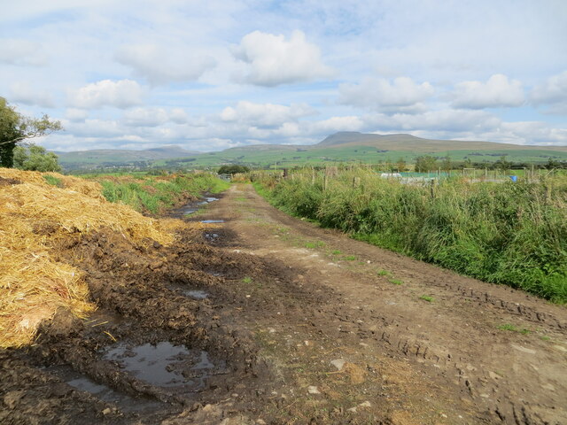
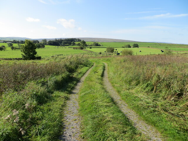
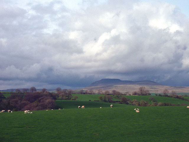
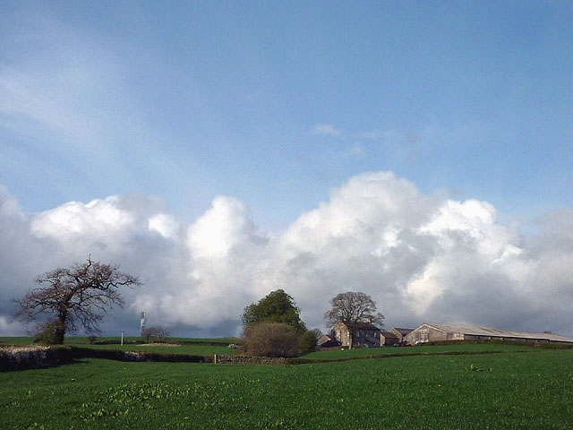
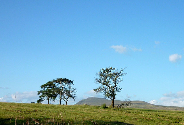
Wennington Moss is a picturesque area located in Yorkshire, England. Situated in the heart of the Yorkshire Downs, this region is known for its stunning natural beauty and diverse landscapes. The moss is nestled amidst rolling hills and expansive moorlands, making it a haven for nature enthusiasts and outdoor lovers.

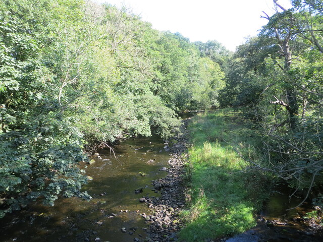
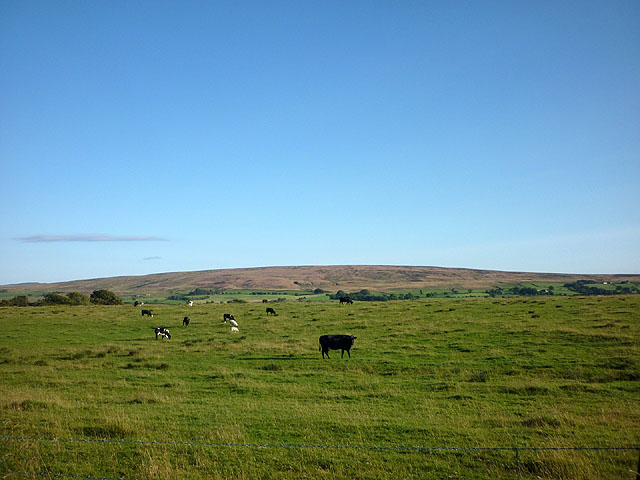
Covering an area of approximately 5 square miles, Wennington Moss is characterized by its unique ecosystem, consisting of marshes, wetlands, and heathlands. The land is rich in biodiversity, hosting a variety of plant and animal species, some of which are rare and protected.

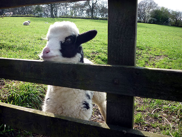
Visitors to Wennington Moss can expect to witness a stunning array of wildlife, including wading birds, waterfowl, and reptiles. The wetlands provide the perfect habitat for these creatures, and birdwatchers can often spot species such as curlews, lapwings, and herons.

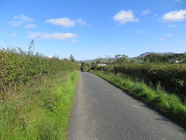
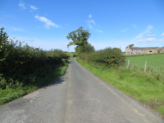
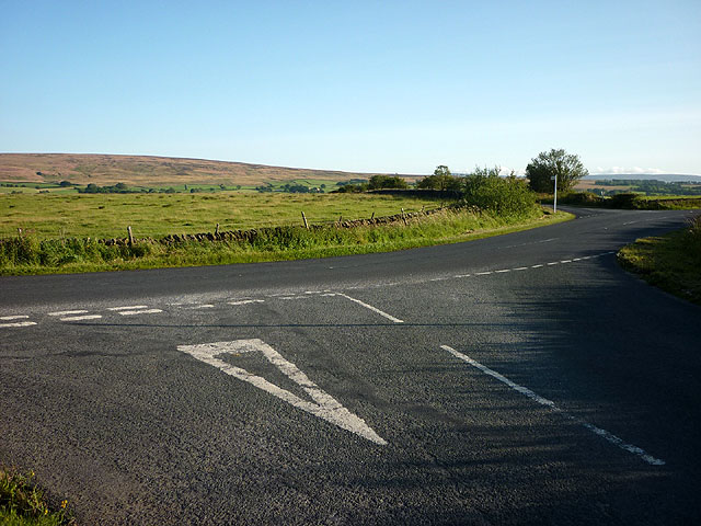
For those looking to explore the area, there are several walking trails and footpaths that meander through the moss, offering breathtaking views of the surrounding countryside. The peaceful and tranquil atmosphere makes it an ideal destination for those seeking refuge from the hustle and bustle of city life.

Additionally, Wennington Moss is a popular spot for anglers, as the moss is home to a number of fishing lakes stocked with a variety of fish species. This makes it a favorite destination for fishing enthusiasts seeking a quiet and serene location to cast their lines.

Overall, Wennington Moss is a hidden gem in Yorkshire, offering visitors a chance to immerse themselves in the beauty of nature and experience the tranquility of the countryside.

If you have any feedback on the listing, please let us know in the comments section below.

Wennington Moss Images

Images are sourced within 2km of 54.123159/-2.4583046 or Grid Reference SD7069. Thanks to Geograph Open Source API. All images are credited.

Greystonegill Lane approaching High Barn Looking southward. The rounded outline of Burn Moor can be seen in the far distance.
Greystonegill Lane approaching High Barn
Looking southward. The rounded outline of Burn Moor can be seen in the far distance.
River Wenning at Greystonegill Bridge Looking north-eastward upstream.
River Wenning at Greystonegill Bridge
Looking north-eastward upstream.
Pastureland and field barn on Buffet Hill Looking north-eastward.
Pastureland and field barn on Buffet Hill
Looking north-eastward.
Track between piles of maure and Triangulation Pillar at Lingshaw Cross Looking north-eastward.
Track between piles of maure and Triangulation Pillar at Lingshaw Cross
Looking north-eastward.
Farm track giving access to hay field and pastureland at Bolderber Looking south-westward.
Farm track giving access to hay field and pastureland at Bolderber
Looking south-westward.
Hedge enclosed lane near Chesters Looking north-eastward towards Kiln Lodge. In the far distance (right) Ingleborough can be seen.
Hedge enclosed lane near Chesters
Looking north-eastward towards Kiln Lodge. In the far distance (right) Ingleborough can be seen.
Hedge and fence enclosed lane at Chesters Looking westward.
Hedge and fence enclosed lane at Chesters
Looking westward.
Greystonegill Bridge near High Bentham Carrying a minor road over the River Wenning.
Greystonegill Bridge near High Bentham
Carrying a minor road over the River Wenning.
Hello! This young lamb ran over as I passed, seemingly desperate to be fed. As its fleece didn't match any of the other sheep in the fields I thought it may be an orphan which the farmer might have fostered out to another mother?
Hello!
This young lamb ran over as I passed, seemingly desperate to be fed. As its fleece didn't match any of the other sheep in the fields I thought it may be an orphan which the farmer might have fostered out to another mother?
Large barn on Buffet Hill, valley of the Wenning Looking towards Ingleborough.
Large barn on Buffet Hill, valley of the Wenning
Looking towards Ingleborough.
Sheep on Buffet Hill Looking towards Ingleborough across the valley of the Wenning.
Sheep on Buffet Hill
Looking towards Ingleborough across the valley of the Wenning.
Large barn on Buffet Hill above the Wenning
Linghaw Farm The telecom mast at Linghaw Cross can be seen on the skyline further left.
Linghaw Farm
The telecom mast at Linghaw Cross can be seen on the skyline further left.
Cattle grazing by Greystonegill Lane Looking towards the Bowland moors from the B6480 just east of High Bentham.
Cattle grazing by Greystonegill Lane
Looking towards the Bowland moors from the B6480 just east of High Bentham.
The junction of Greystonegill and Nutgill Lanes with the B6480 This stunning landmark is just east of High Bentham.
The junction of Greystonegill and Nutgill Lanes with the B6480
This stunning landmark is just east of High Bentham.
Trees by Nutgill Lane Ingleborough visible beyond.
Trees by Nutgill Lane
Ingleborough visible beyond.
Shortly to be closed for repair Greystonegill Bridge (note the workman in the river!)
Shortly to be closed for repair
Greystonegill Bridge (note the workman in the river!)
Old biscuit van - 'By Appointment' A McVitie & Price van.
Old biscuit van - 'By Appointment'
A McVitie & Price van.
Show me another place!

Wennington Moss is located at Grid Ref: SD7069 (Lat: 54.123159, Lng: -2.4583046)

Division: West Riding

Administrative County: North Yorkshire

District: Craven

Police Authority: North Yorkshire

What 3 Words

///furniture.hoped.paces. Near Ingleton, North Yorkshire

Related Wikis

Keasden Beck

Keasden Beck is a stream in Yorkshire (formerly the West Riding) rising near Keasden Head, joining the River Wenning south west of Clapham. == References... ==

Ingleton Coalfield

The Ingleton Coalfield is in North Yorkshire, close to its border with Lancashire in north-west England. Isolated from other coal-producing areas, it is...

Ingleton, North Yorkshire

Ingleton is a village and civil parish in the Craven district of North Yorkshire, England. The village is 19 miles (30 km) from Kendal and 17 miles (28...

Ingleton railway station (Midland Railway)

Ingleton (Midland) railway station was one of two stations serving the village of Ingleton, North Yorkshire, England. It was originally open for just ten...

St Margaret's Church, High Bentham

St Margaret's Church is in Station Road, High Bentham, North Yorkshire, England. It is an Anglican parish church in the deanery of Ewecross, the archdeaconry...

Bentham, North Yorkshire

Bentham is a civil parish in North Yorkshire, England, with a population of 3,027 at the 2011 Census. The parish includes the town of High Bentham, occasionally...

River Twiss

The River Twiss is a river in the county of Yorkshire, England. The source of the river is Kingsdale Beck which rises at Kingsdale Head at the confluence...

River Doe

The River Doe is a river in North Yorkshire, England. The river's source is near God's Bridge close to the settlement of Chapel-le-Dale and flows through...

Nearby Amenities

Located within 500m of 54.123159,-2.4583046
Newby Moor
Created By: Potlatch 0.10f
Is In: Craven, North Yorkshire, Yorkshire, England, UK
Place: locality
Source: npe
Lat/Long: 54.1235494/-2.4507598
Power: pole
Lat/Long: 54.1213382/-2.4518412
Power: pole
Lat/Long: 54.121505/-2.4531724
Power: pole
Lat/Long: 54.1215653/-2.454269
Power: pole
Lat/Long: 54.1216502/-2.4556212
Power: pole
Lat/Long: 54.1217321/-2.4570157
Power: pole
Lat/Long: 54.1218078/-2.4583469
Power: pole
Lat/Long: 54.121885/-2.4596649
Power: pole
Lat/Long: 54.1219592/-2.4610066
Power: pole
Lat/Long: 54.1220503/-2.4625039
Power: pole
Lat/Long: 54.1221338/-2.4639405
Power: pole
Lat/Long: 54.1222141/-2.465277
Power: pole
Lat/Long: 54.1210693/-2.4558717
Power: pole
Lat/Long: 54.1202953/-2.4561801
Power: pole
Lat/Long: 54.1196279/-2.456449
Power: pole
Lat/Long: 54.1190486/-2.4566757
Power: pole
Lat/Long: 54.119037/-2.4552857
The data included in this document is from www.openstreetmap.org. The data is made available under ODbL.

Have you been to Wennington Moss?

Leave your review of Wennington Moss below (or comments, questions and feedback).