Bayles Moss
Downs, Moorland in Cumberland Eden
England
Bayles Moss
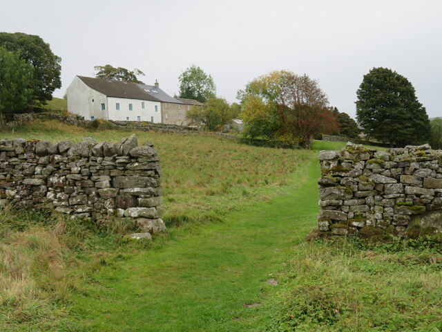
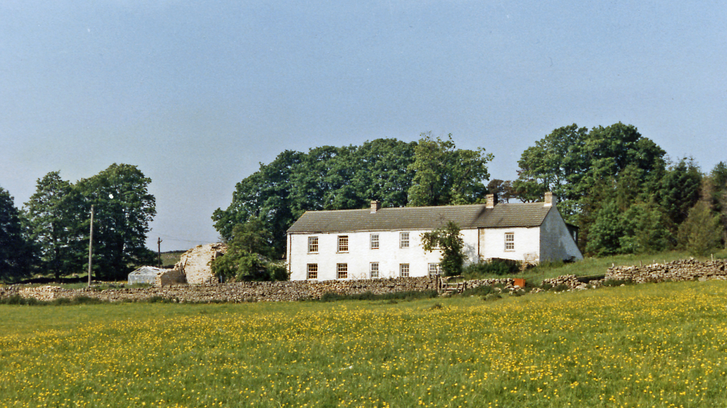
Bayles Moss is a picturesque area located in Cumberland, England. It is part of the larger Cumberland Downs, known for its stunning natural beauty and diverse wildlife. Bayles Moss is specifically situated in the moorland region of Cumberland Downs, providing a unique landscape and ecosystem.
The moss is characterized by its vast expanses of wet, peaty ground, adorned with patches of heather, grasses, and small shrubs. The combination of the damp moss and the surrounding hills creates a truly breathtaking sight. The area is often shrouded in mist, adding to its mystical aura.
The Cumberland Downs, including Bayles Moss, are home to a variety of bird species, making it a popular spot for birdwatchers. Visitors can expect to see species such as curlews, lapwings, and skylarks, among others. The moss also supports a diverse range of plant life, including sphagnum moss, cotton grass, and bog rosemary.
In addition to its natural beauty, Bayles Moss has historical significance. It was once used for peat cutting, which provided fuel for the local community. Although peat cutting is no longer practiced, the remnants of the old peat stacks can still be seen scattered across the moss, serving as a reminder of the area's past.
Overall, Bayles Moss in Cumberland Downs offers a serene and captivating experience for nature lovers and history enthusiasts alike. Its unique landscape, thriving wildlife, and rich history make it an ideal destination for those seeking a tranquil escape in the heart of rural England.
If you have any feedback on the listing, please let us know in the comments section below.
Bayles Moss Images
Images are sourced within 2km of 54.79682/-2.4723214 or Grid Reference NY6944. Thanks to Geograph Open Source API. All images are credited.


Bayles Moss is located at Grid Ref: NY6944 (Lat: 54.79682, Lng: -2.4723214)
Administrative County: Cumbria
District: Eden
Police Authority: Cumbria
What 3 Words
///league.issuer.obligated. Near Alston, Cumbria
Nearby Locations
Related Wikis
Bayles, Cumbria
Bayles is a hamlet near Alston in Cumbria, England.
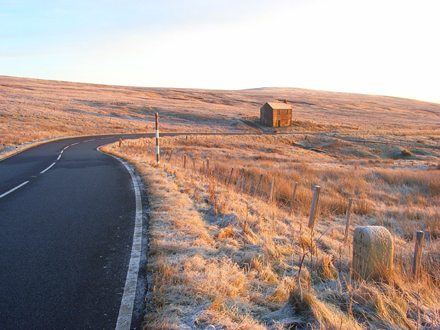
A686 road
The A686 is a road in Northern England. It runs from Penrith in Cumbria to Haydon Bridge in Northumberland. AA Magazine named the A686 as one of their...

Leadgate, Cumbria
Leadgate is a small hamlet located at the foot of Hartside Fell between the town of Alston and the village of Garrigill in the parish of Alston Moor in...

Alston, Cumbria
Alston is a town in Westmorland and Furness, Cumbria, England, within the civil parish of Alston Moor on the River South Tyne. It shares the title of the...

Samuel King's School
Samuel King's School is a mixed secondary school located in Alston in the English county of Cumbria. As of 2017 it had 73 students on roll. It is a comprehensive...

Alston Moor
Alston Moor, formerly known as Alston with Garrigill, is a civil parish and electoral ward in the Westmorland and Furness district, in the ceremonial county...

Alston Town Hall
Alston Town Hall is a municipal building in Front Street, Alston, Cumbria, England. The town hall, which is currently used as a public library, is a Grade...
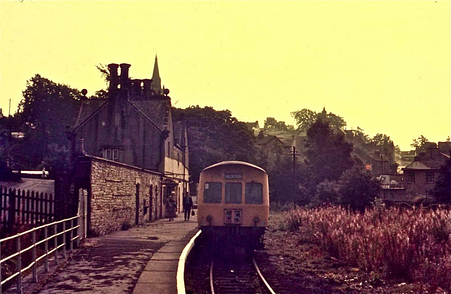
Alston railway station
Alston is a heritage railway station on the South Tynedale Railway. The station, situated 13 miles (21 km) south of Haltwhistle, is in the market town...
Nearby Amenities
Located within 500m of 54.79682,-2.4723214Have you been to Bayles Moss?
Leave your review of Bayles Moss below (or comments, questions and feedback).