Badley Wood Common
Downs, Moorland in Herefordshire
England
Badley Wood Common

Badley Wood Common is a picturesque expanse of land located in the county of Herefordshire, England. Covering an area of approximately 150 acres, it is nestled amidst the stunning countryside and offers a diverse range of natural habitats. The common is primarily characterized by its rolling downs and expansive moorland, providing a unique landscape that attracts both locals and tourists alike.
The common is home to a rich and varied array of flora and fauna, making it an ideal spot for nature enthusiasts. The downs are covered in a patchwork of vibrant wildflowers during the spring and summer months, including rare orchids and various species of grasses. Meanwhile, the moorland is a haven for wildlife, with an abundance of bird species such as skylarks, stonechats, and kestrels, as well as small mammals like rabbits and voles.
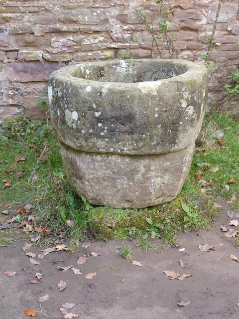
In addition to its natural beauty, Badley Wood Common has a rich history dating back many centuries. It was once part of a larger medieval hunting ground and has remnants of ancient stone structures, which serve as reminders of its past. The common also offers a network of walking trails and bridleways, allowing visitors to explore its picturesque surroundings while enjoying the fresh air and tranquility.
Badley Wood Common is a cherished natural gem in Herefordshire, offering a peaceful retreat for those seeking a moment of respite from the hustle and bustle of modern life. With its diverse ecosystems, captivating landscapes, and historical significance, it is a place that truly captures the essence of the English countryside.
If you have any feedback on the listing, please let us know in the comments section below.
Badley Wood Common Images
Images are sourced within 2km of 52.214264/-2.4447903 or Grid Reference SO6957. Thanks to Geograph Open Source API. All images are credited.


Badley Wood Common is located at Grid Ref: SO6957 (Lat: 52.214264, Lng: -2.4447903)
Unitary Authority: County of Herefordshire
Police Authority: West Mercia
What 3 Words
///continued.grips.woke. Near Bromyard, Herefordshire
Nearby Locations
Related Wikis
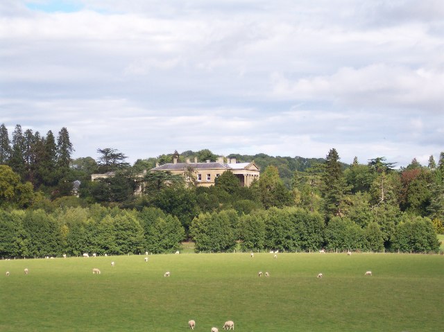
Whitbourne Hall
Whitbourne Hall is a Grade II* listed Greek Revival country house located in the village of Whitbourne in Herefordshire (near the Worcestershire border...

Tedstone Delamere
Tedstone Delamere is a village and civil parish in Herefordshire, England, 3.5 miles (6 km) north-east of Bromyard. The population of the parish at the...
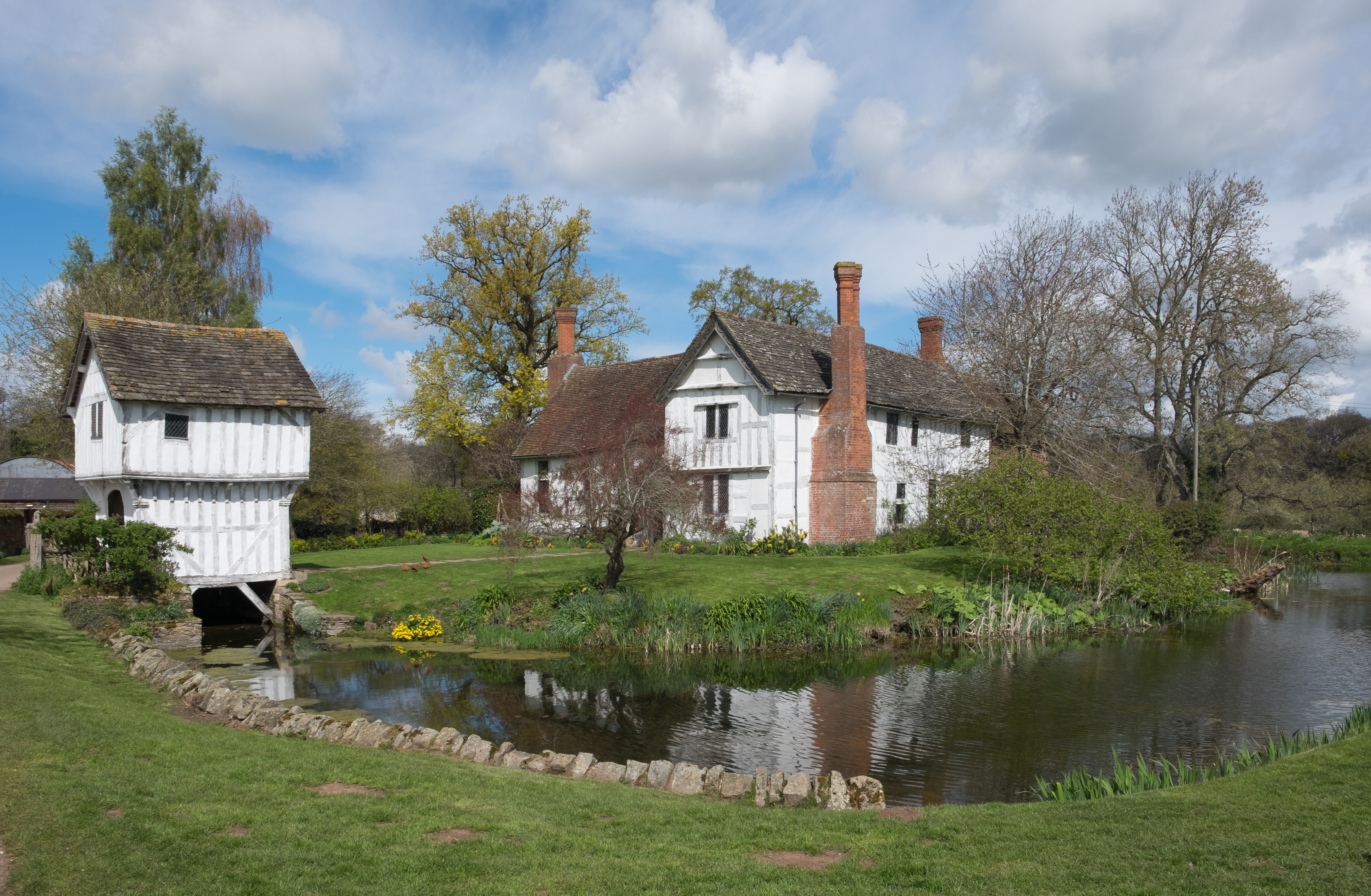
Brockhampton Estate
The Brockhampton Estate is a National Trust property in Herefordshire, England, and is to the north of the A44 Bromyard to Worcester road, opposite the...

Tedstone Wafer
Tedstone Wafer is a village and civil parish 16 miles (26 km) north east of Hereford, in the county of Herefordshire, England. In 2011 the parish had a...
Nearby Amenities
Located within 500m of 52.214264,-2.4447903Have you been to Badley Wood Common?
Leave your review of Badley Wood Common below (or comments, questions and feedback).