Badley Wood

Wood, Forest in Herefordshire

England

Badley Wood

Thrift Farm Farm buildings at Thrift Farm near Tedstone Delamere.
Thrift Farm Credit: Philip Halling

Badley Wood is a picturesque woodland located in the county of Herefordshire, England. This enchanting forest covers an area of approximately 100 acres and is known for its diverse range of flora and fauna, making it a popular destination for nature enthusiasts and hikers.

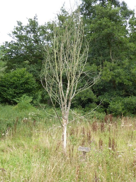
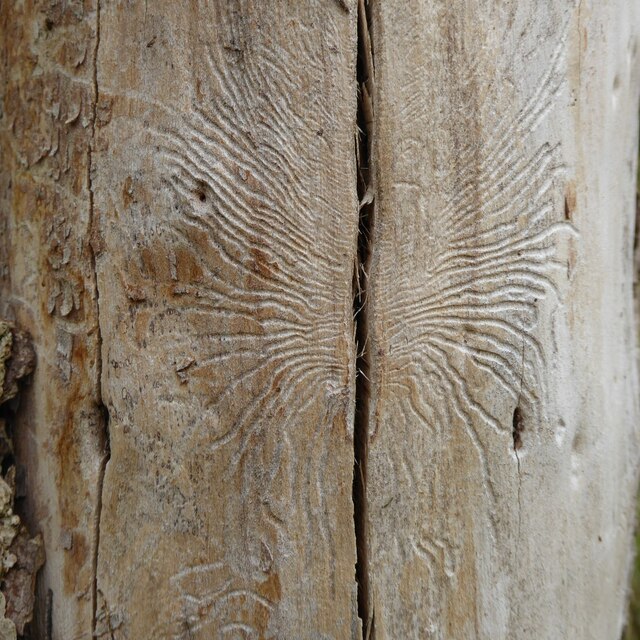
The woodland is primarily composed of broadleaf trees such as oak, ash, and beech, which create a dense canopy that filters sunlight and creates a cool, shady atmosphere throughout the forest. The forest floor is covered in a rich carpet of mosses, ferns, and wildflowers, adding to the overall beauty of the woodland.

Badley Wood is home to a variety of wildlife species, including deer, foxes, badgers, and a wide array of bird species. Birdwatchers can spot woodpeckers, owls, and various songbirds as they explore the forest trails. The woodland also provides a habitat for several rare and protected species, making it an important site for conservation efforts.

The forest is crisscrossed with a network of well-maintained trails, allowing visitors to explore the woodland at their own pace. These paths offer visitors the opportunity to witness the changing seasons, with vibrant displays of bluebells in spring and a tapestry of autumn colors in the fall.

Badley Wood is a place of tranquility and natural beauty, offering visitors a chance to escape the hustle and bustle of everyday life and immerse themselves in the wonders of the natural world. Whether it's a leisurely stroll or an adventurous hike, this woodland is a true treasure in the heart of Herefordshire.

If you have any feedback on the listing, please let us know in the comments section below.
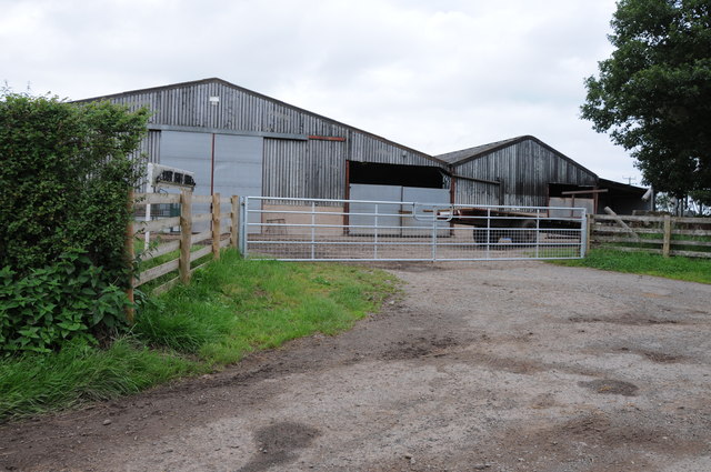
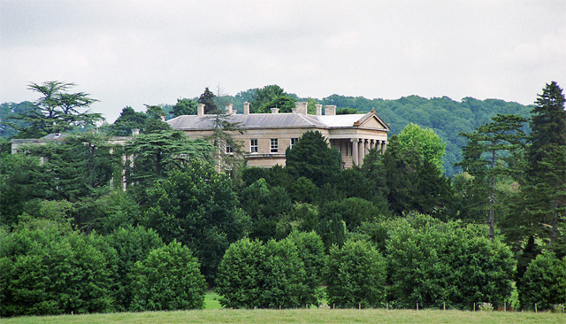
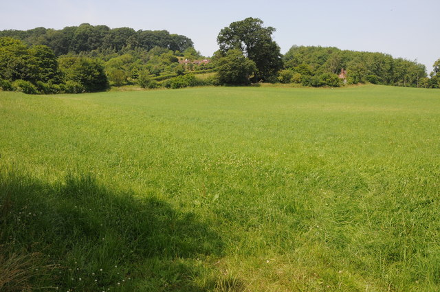
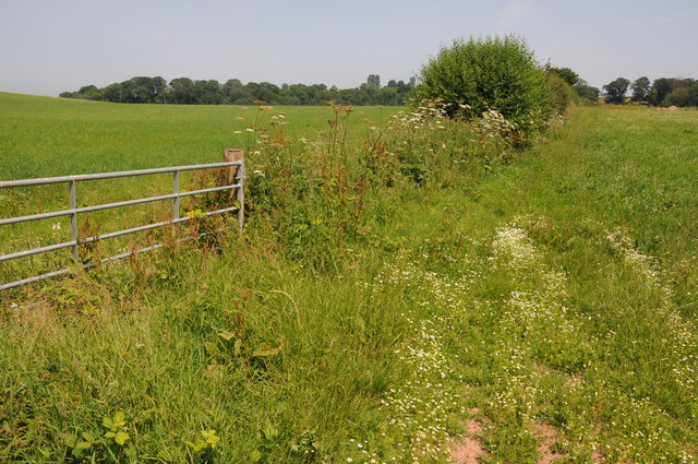
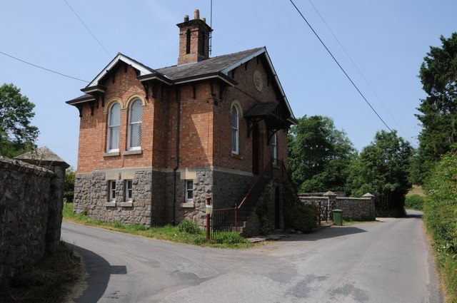
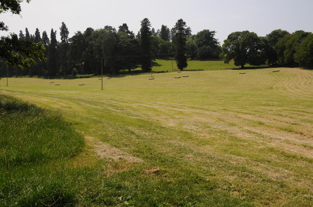
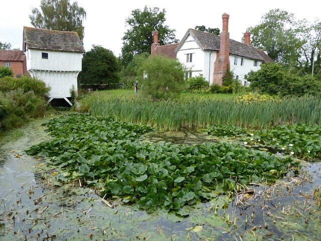
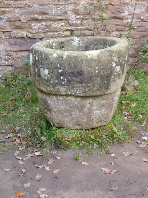
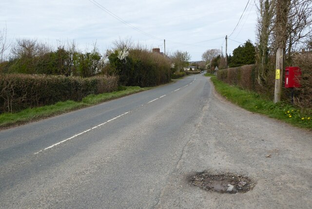
Badley Wood Images

Images are sourced within 2km of 52.217364/-2.4475585 or Grid Reference SO6957. Thanks to Geograph Open Source API. All images are credited.

Thrift Farm Farm buildings at Thrift Farm near Tedstone Delamere.
Thrift Farm
Farm buildings at Thrift Farm near Tedstone Delamere.
Sheep near Lamb Green Sheep near Lamb Green to the east of Tedstone Delamere.
Sheep near Lamb Green
Sheep near Lamb Green to the east of Tedstone Delamere.
Whitbourne Hall, Whitbourne Actually only a distant view of part of the imposing Greek Ionic portico, inspired by the Erechtheum in Athens. All the work of E.W. Elmslie, 1860-62, for Edward Bickerton Evans, banker, wine and vinegar brewer, and amateur archaeologist. The date is late for such a revival building. Grade II* listed.
A closer view: <a href="https://www.geograph.org.uk/photo/688419">SO7056 : Whitbourne Hall</a>.
Whitbourne Hall, Whitbourne
Actually only a distant view of part of the imposing Greek Ionic portico, inspired by the Erechtheum in Athens. All the work of E.W. Elmslie, 1860-62, for Edward Bickerton Evans, banker, wine and vinegar brewer, and amateur archaeologist. The date is late for such a revival building. Grade II* listed. A closer view: SO7056 : Whitbourne Hall.
Farmland near Bradley Wood Common
Farmland near Whitbourne
Lodge to Whitbourne Hall
Baled hay Baled hay in a field at Whitbourne.
Baled hay
Baled hay in a field at Whitbourne.
Long grass, Whitbourne Long vegetation here is unexpected, there has not been any grazing for a while.
Long grass, Whitbourne
Long vegetation here is unexpected, there has not been any grazing for a while.
Lower Brockhampton  Lower Brockhampton is a moated half-timbered manor house dating from the late 14th century, complete with a timber-framed gatehouse straddling the moat. The Brockhampton Estate was bequeathed to the National Trust in 1946 by Colonel John Talbot Lutley. The house is Grade I listed.
Lower Brockhampton
Lower Brockhampton is a moated half-timbered manor house dating from the late 14th century, complete with a timber-framed gatehouse straddling the moat. The Brockhampton Estate was bequeathed to the National Trust in 1946 by Colonel John Talbot Lutley. The house is Grade I listed.
A dead wych elm I remember elm trees being a common tree before Dutch elm disease wiped them out in the 1970s.  Three years ago I was surprised to see a young wych elm tree growing here <a href="https://www.geograph.org.uk/photo/5786065">SO6856 : A wych elm at Lower Brockhampton</a> and sadly as appears to happen the young trees still succumb to this disease.
A dead wych elm
I remember elm trees being a common tree before Dutch elm disease wiped them out in the 1970s. Three years ago I was surprised to see a young wych elm tree growing here SO6856 : A wych elm at Lower Brockhampton and sadly as appears to happen the young trees still succumb to this disease.
Dutch elm disease This pattern on the trunk of a dead wych elm tree was caused by the elm bark beetle which carries the fungi which causes Dutch elm disease and killed the tree.
Dutch elm disease
This pattern on the trunk of a dead wych elm tree was caused by the elm bark beetle which carries the fungi which causes Dutch elm disease and killed the tree.
Lower Brockhampton Lower Brockhampton is a moated half-timbered manor house dating from the late 14th century, complete with a timber-framed gatehouse straddling the moat. The Brockhampton Estate was bequeathed to the National Trust in 1946 by Colonel John Talbot Lutley. The house is Grade I listed.
Lower Brockhampton
Lower Brockhampton is a moated half-timbered manor house dating from the late 14th century, complete with a timber-framed gatehouse straddling the moat. The Brockhampton Estate was bequeathed to the National Trust in 1946 by Colonel John Talbot Lutley. The house is Grade I listed.
Rowan berries Rowan berries at Lower Brockhampton.
Rowan berries
Rowan berries at Lower Brockhampton.
Font at Lower Brockhampton Font in the abandoned church at Lower Brockhampton.
Font at Lower Brockhampton
Font in the abandoned church at Lower Brockhampton.
Brockhampton medieval manor house Compiled by Brian Robert Marshall

The Brockhampton Estate centred on Lower Brockhampton is a National Trust property and has been since 1946 when it was bequeathed to the Trust by the last owner Colonel John Lutley. It was and remains a working farm and the ancient buildings were occupied as late as the 1980s. The two main buildings are the farmhouse and the gatehouse which date to the 14th and 16th centuries respectively. In 2010 the farmhouse was comprehensively restored following earlier restoration and repair programmes in 1871, 1947 and the 1990s <span class="nowrap"><a title="http://www.malverngazette.co.uk/news/8289513.Historic_building_repair_project_is_completed/" rel="nofollow ugc noopener" href="http://www.malverngazette.co.uk/news/8289513.Historic_building_repair_project_is_completed/">Link</a><img style="margin-left:2px;" alt="External link" title="External link - shift click to open in new window" src="https://s1.geograph.org.uk/img/external.png" width="10" height="10"/></span> 

The gatehouse has also recently been restored.

The third building of interest is the ruin of a Norman chapel used for storage purposes from the late 18th century until the 1980s.

The farmhouse is listed Grade I <span class="nowrap"><a title="http://www.imagesofengland.org.uk/Details/default.aspx?pid=2&id=150962" rel="nofollow ugc noopener" href="http://www.imagesofengland.org.uk/Details/default.aspx?pid=2&id=150962">Link</a><img style="margin-left:2px;" alt="External link" title="External link - shift click to open in new window" src="https://s1.geograph.org.uk/img/external.png" width="10" height="10"/></span> as is the gatehouse <span class="nowrap"><a title="http://www.imagesofengland.org.uk/Details/default.aspx?pid=2&id=150963" rel="nofollow ugc noopener" href="http://www.imagesofengland.org.uk/Details/default.aspx?pid=2&id=150963">Link</a><img style="margin-left:2px;" alt="External link" title="External link - shift click to open in new window" src="https://s1.geograph.org.uk/img/external.png" width="10" height="10"/></span>

The chapel is Grade II* <span class="nowrap"><a title="http://www.imagesofengland.org.uk/Details/default.aspx?pid=2&id=150964" rel="nofollow ugc noopener" href="http://www.imagesofengland.org.uk/Details/default.aspx?pid=2&id=150964">Link</a><img style="margin-left:2px;" alt="External link" title="External link - shift click to open in new window" src="https://s1.geograph.org.uk/img/external.png" width="10" height="10"/></span>
Brockhampton medieval manor house
Compiled by Brian Robert Marshall The Brockhampton Estate centred on Lower Brockhampton is a National Trust property and has been since 1946 when it was bequeathed to the Trust by the last owner Colonel John Lutley. It was and remains a working farm and the ancient buildings were occupied as late as the 1980s. The two main buildings are the farmhouse and the gatehouse which date to the 14th and 16th centuries respectively. In 2010 the farmhouse was comprehensively restored following earlier restoration and repair programmes in 1871, 1947 and the 1990s LinkExternal link The gatehouse has also recently been restored. The third building of interest is the ruin of a Norman chapel used for storage purposes from the late 18th century until the 1980s. The farmhouse is listed Grade I LinkExternal link as is the gatehouse LinkExternal link The chapel is Grade II* LinkExternal link
Damson orchard, Brockhampton
View to the orchard at Brockhampton Looking through a window in the C15 half-timbered gatehouse of Lower Brockhampton, towards the moat and orchard of damson trees in full blossom.
View to the orchard at Brockhampton
Looking through a window in the C15 half-timbered gatehouse of Lower Brockhampton, towards the moat and orchard of damson trees in full blossom.
Tedstone Wafre The B4203 at Tedstone Wafre.  Viewing this scene today you would have no idea a telephone box once stood here, see <a href="https://www.geograph.org.uk/photo/978962">SO6758 : Still connected!</a>.
Tedstone Wafre
The B4203 at Tedstone Wafre. Viewing this scene today you would have no idea a telephone box once stood here, see SO6758 : Still connected!.
Show me another place!

Badley Wood is located at Grid Ref: SO6957 (Lat: 52.217364, Lng: -2.4475585)

Unitary Authority: County of Herefordshire

Police Authority: West Mercia

What 3 Words

///porch.branching.support. Near Bromyard, Herefordshire

Related Wikis

Tedstone Delamere

Tedstone Delamere is a village and civil parish in Herefordshire, England, 3.5 miles (6 km) north-east of Bromyard. The population of the parish at the...
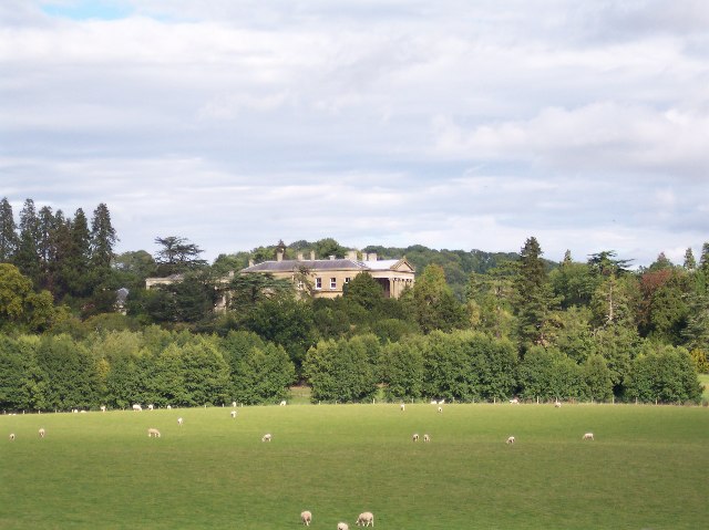
Whitbourne Hall

Whitbourne Hall is a Grade II* listed Greek Revival country house located in the village of Whitbourne in Herefordshire (near the Worcestershire border...
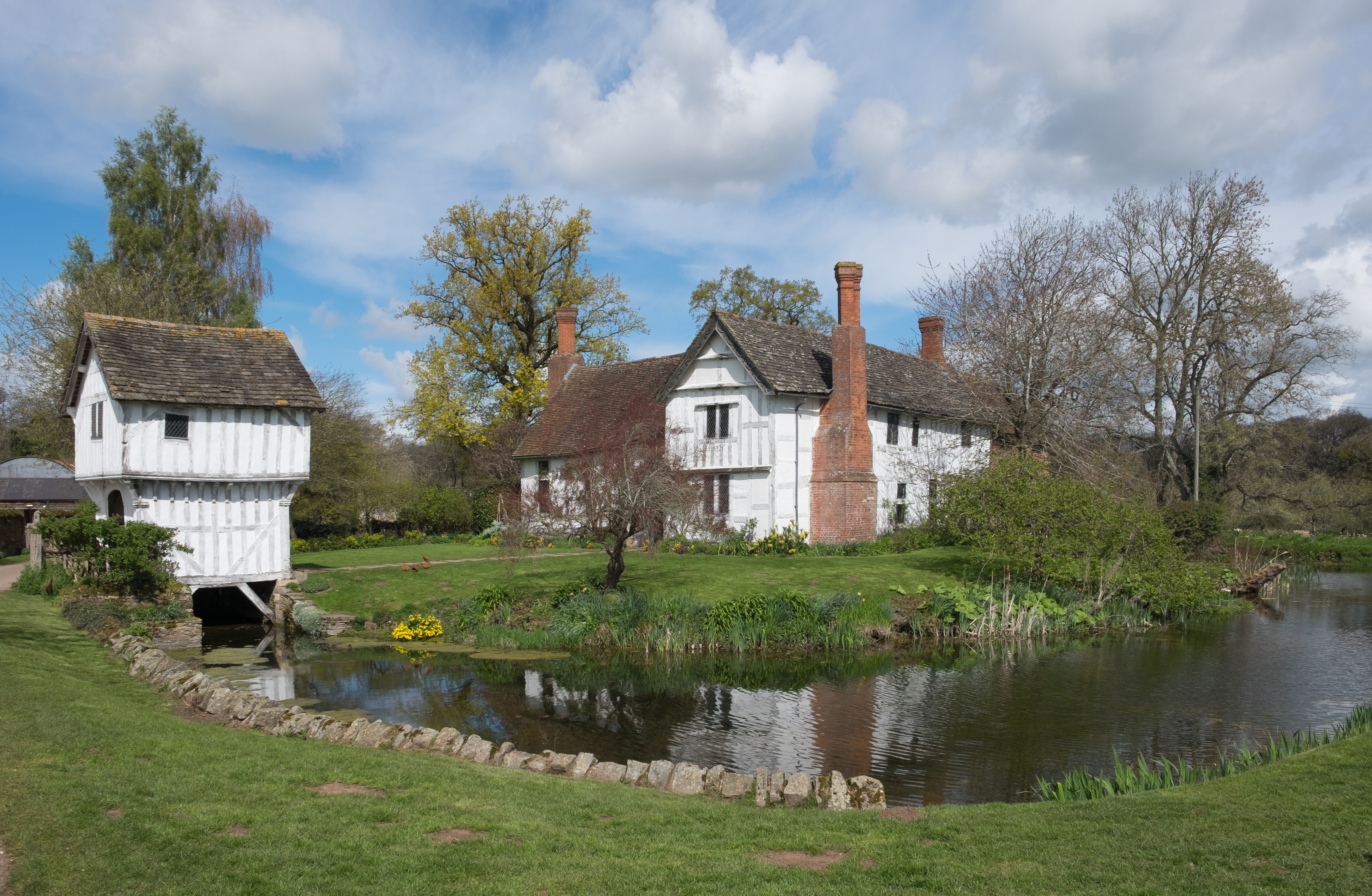
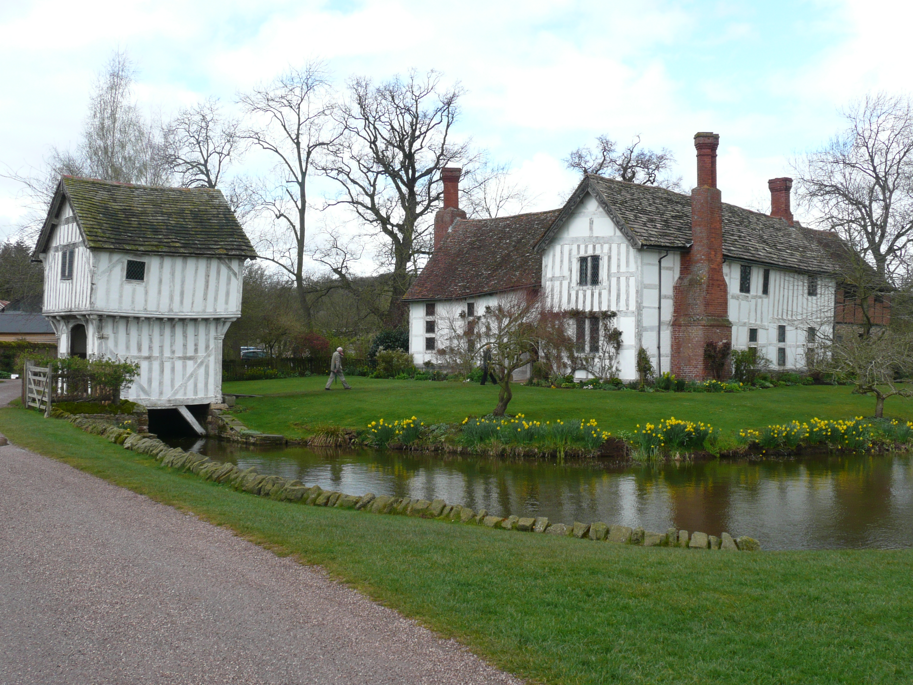
Brockhampton Estate

The Brockhampton Estate is a National Trust property in Herefordshire, England, and is to the north of the A44 Bromyard to Worcester road, opposite the...

Tedstone Wafer

Tedstone Wafer is a village and civil parish 16 miles (26 km) north east of Hereford, in the county of Herefordshire, England. In 2011 the parish had a...

Old St Bartholomew's Church, Lower Sapey

Old St Bartholomew's Church is a redundant Anglican church near the village of Lower Sapey, Worcestershire, England. It is recorded in the National Heritage...

Bringsty Common

Bringsty Common is a scattered settlement and 220 acres (89 ha) of common land in Herefordshire, England, spanning the A44. It lies close to the Worcestershire...

Whitbourne, Herefordshire

Whitbourne (Anglo-Saxon for "white stream") is a village in Eastern Herefordshire, England on the banks of the River Teme and close to the A44. It is close...

Brockhampton (near Bromyard)

Brockhampton is a civil parish in Herefordshire, England, about 4 km (2 mi) east of Bromyard. The parish comprises the National Trust property of Brockhampton...

Nearby Amenities

Located within 500m of 52.217364,-2.4475585
Elcocks
Fixme: Self-catering not sure how to tag
Tourism: guest_house
Lat/Long: 52.2161972/-2.4425503
Fixme: continue
Lat/Long: 52.2155824/-2.4440117
Old Linceter
Power: pole
Transformer: distribution
Voltage Primary: 11000
Lat/Long: 52.2168135/-2.4534394
Power: pole
Lat/Long: 52.2164479/-2.453493
Power: pole
Lat/Long: 52.2155925/-2.4536325
Power: pole
Lat/Long: 52.2150034/-2.4537197
Power: pole
Lat/Long: 52.2134684/-2.4487147
Power: pole
Lat/Long: 52.2136139/-2.4478845
Power: pole
Lat/Long: 52.2132786/-2.4467111
Power: pole
Lat/Long: 52.2138711/-2.4470919
Power: pole
Lat/Long: 52.2141628/-2.4462779
Power: pole
Lat/Long: 52.2144158/-2.4455269
Power: pole
Lat/Long: 52.2151882/-2.445256
Summers Place
Power: pole
Transformer: distribution
Voltage Primary: 11000
Lat/Long: 52.2157577/-2.446699
Power: pole
Lat/Long: 52.2154988/-2.4460204
Power: pole
Lat/Long: 52.2148185/-2.4442716
Power: pole
Lat/Long: 52.2151274/-2.4432886
Power: pole
Lat/Long: 52.2155638/-2.4419273
Badley Wood Common North
Power: pole
Transformer: distribution
Voltage Primary: 11000
Lat/Long: 52.2167014/-2.4410999
Power: pole
Lat/Long: 52.215839/-2.4412259
Power: pole
Lat/Long: 52.2156854/-2.4415599
Power: pole
Lat/Long: 52.215558/-2.4413574
Pixhill
Power: pole
Transformer: distribution
Voltage Primary: 11000
Lat/Long: 52.2202216/-2.446117
Power: pole
Lat/Long: 52.2202344/-2.4467788
Power: pole
Lat/Long: 52.2202348/-2.447395
Power: pole
Lat/Long: 52.2202368/-2.4480052
Power: pole
Lat/Long: 52.2202381/-2.4485564
Power: pole
Lat/Long: 52.2204615/-2.4488997
Power: pole
Lat/Long: 52.2209956/-2.4498734
The data included in this document is from www.openstreetmap.org. The data is made available under ODbL.

Have you been to Badley Wood?

Leave your review of Badley Wood below (or comments, questions and feedback).