Moss of Redhills
Downs, Moorland in Aberdeenshire
Scotland
Moss of Redhills
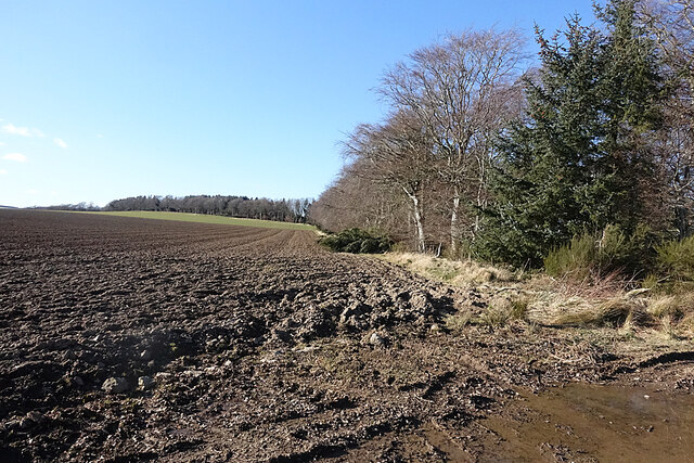
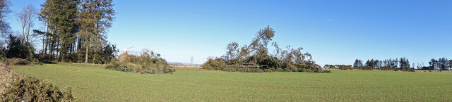
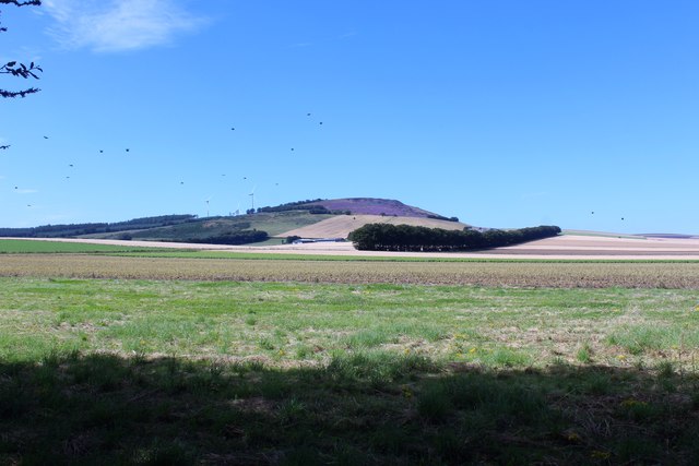
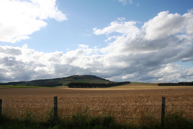
Moss of Redhills is a vast expanse of moorland located in Aberdeenshire, Scotland. Stretching across an area of about 500 acres, it is renowned for its unique landscape and rich biodiversity. The moorland is situated at an elevation of around 400 meters above sea level, offering breathtaking views of the surrounding countryside.
Characterized by its distinctive red hue, the moss is covered in a thick carpet of vibrant heather, which blooms in brilliant shades of purple during the summer months. The terrain is predominantly flat, with occasional undulations and small hills adding to its charm.
The moss is home to a diverse range of flora and fauna. Various species of grasses, sedges, and mosses thrive in this environment, creating a delicate ecosystem. Additionally, the area is populated by numerous bird species, including the iconic red grouse, curlews, and lapwings, making it a popular destination for birdwatching enthusiasts.
Moss of Redhills is a designated Site of Special Scientific Interest (SSSI) due to its ecological significance. The peat soil found here stores vast amounts of carbon and plays a crucial role in mitigating climate change.
Visitors to Moss of Redhills can enjoy peaceful walks amidst the tranquil beauty of the moorland. The area is crisscrossed with well-maintained footpaths, allowing visitors to explore and appreciate the unique landscape. Its remote location provides an opportunity to immerse oneself in nature and escape the hustle and bustle of daily life.
If you have any feedback on the listing, please let us know in the comments section below.
Moss of Redhills Images
Images are sourced within 2km of 57.41253/-2.5328138 or Grid Reference NJ6835. Thanks to Geograph Open Source API. All images are credited.


Moss of Redhills is located at Grid Ref: NJ6835 (Lat: 57.41253, Lng: -2.5328138)
Unitary Authority: Aberdeenshire
Police Authority: North East
What 3 Words
///dripped.underline.enrolling. Near Rothienorman, Aberdeenshire
Nearby Locations
Related Wikis

Badenscoth
Badenscoth (Scottish Gaelic: Bad nan Sgoth) is a rural area near Auchterless in Aberdeenshire, Scotland. == References ==

Ythan Wells
Ythan Wells, also known as Glenmailen, is the site of a Roman military camp, near the farm of Glenmellan, 2.1 kilometres (1.3 mi) east of the village of...

Rothienorman
Rothienorman is a village in Aberdeenshire in north east Scotland. The local economy is based primarily on farming, whilst services are provided by a mobile...
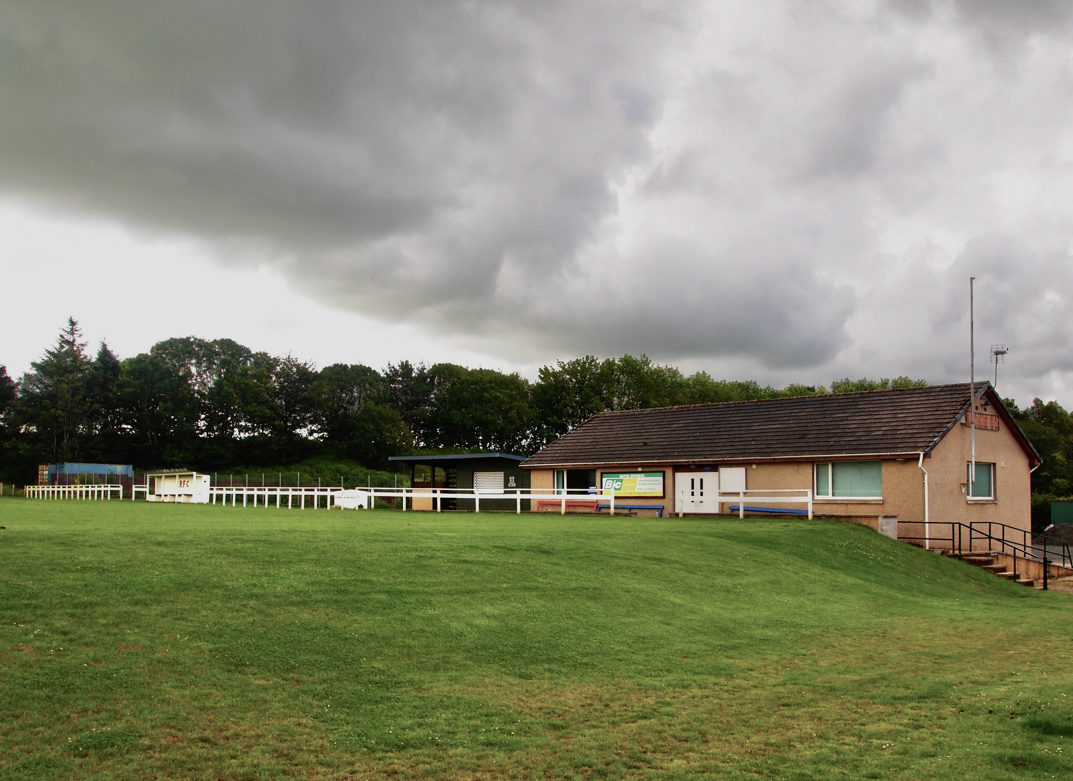
Rothie Rovers F.C.
Rothie Rovers are a Scottish football club from the village of Rothienorman in Aberdeenshire. They are members of the North Region of the Scottish Junior...
Have you been to Moss of Redhills?
Leave your review of Moss of Redhills below (or comments, questions and feedback).