Birkett Fell
Downs, Moorland in Yorkshire Ribble Valley
England
Birkett Fell

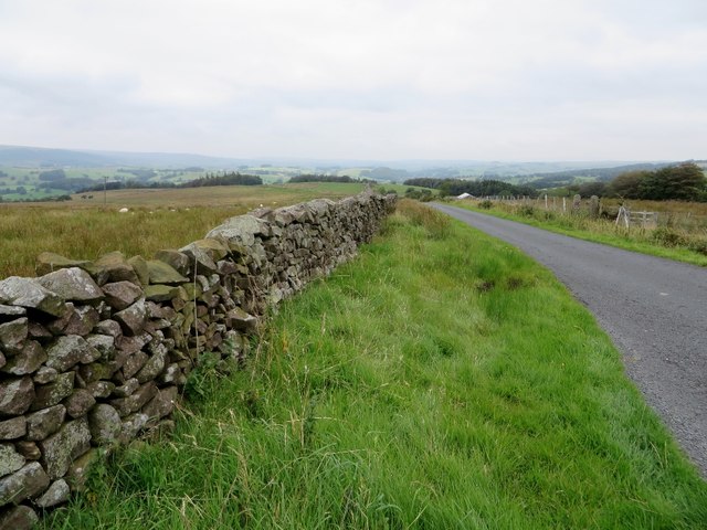
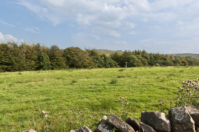
Birkett Fell is a picturesque area located in the county of Yorkshire, England. It is situated within the Yorkshire Dales National Park, known for its stunning landscapes and rich biodiversity. Birkett Fell is specifically found within the region known as the Yorkshire Downs, characterized by rolling hills and expansive moorland.
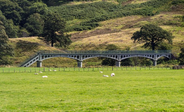
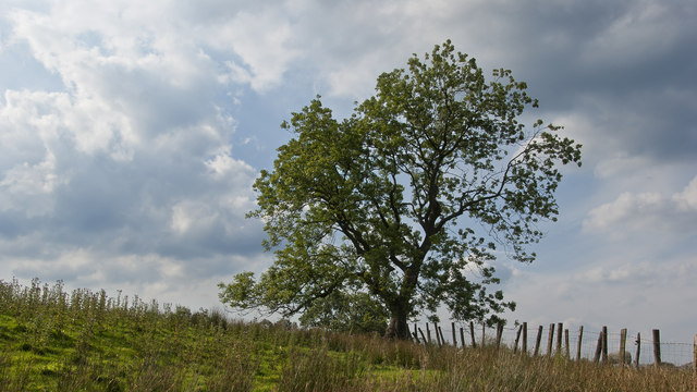
The fell itself offers breathtaking views of the surrounding countryside, with its gentle slopes covered in heather and grasses that change color with the seasons. The area is home to a variety of wildlife, including birds, such as curlews and lapwings, as well as mammals like hares and deer. Visitors may also spot the occasional red grouse, a bird species native to the moorland.
The terrain of Birkett Fell is ideal for outdoor enthusiasts who enjoy activities such as hiking, walking, and nature photography. There are several well-marked trails that wind through the area, catering to both leisurely strolls and more challenging hikes. These paths often lead to scenic viewpoints, offering panoramic vistas of the surrounding countryside.
Birkett Fell is a tranquil and serene location, perfect for those seeking a peaceful retreat away from the hustle and bustle of city life. The area is relatively untouched by human development, allowing visitors to truly connect with nature and enjoy the untouched beauty of the Yorkshire Downs. Whether you are an avid hiker, a wildlife enthusiast, or simply someone in search of natural beauty, Birkett Fell is a must-visit destination in Yorkshire.
If you have any feedback on the listing, please let us know in the comments section below.
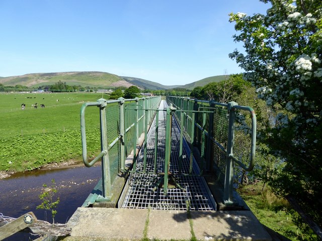
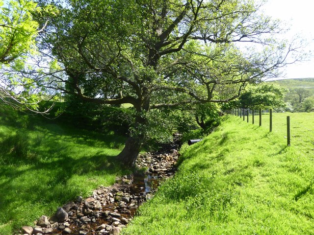
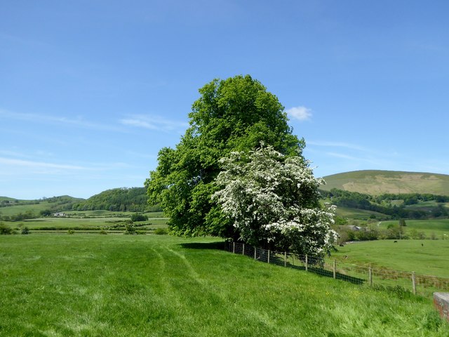
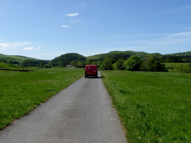
Birkett Fell Images
Images are sourced within 2km of 53.92876/-2.493422 or Grid Reference SD6748. Thanks to Geograph Open Source API. All images are credited.


Birkett Fell is located at Grid Ref: SD6748 (Lat: 53.92876, Lng: -2.493422)
Division: West Riding
Administrative County: Lancashire
District: Ribble Valley
Police Authority: Lancashire
What 3 Words
///machinery.bystander.fictional. Near Waddington, Lancashire
Nearby Locations
Related Wikis

Bowland Rural District
Bowland was a rural district in the West Riding of Yorkshire from 1894 to 1974. It was named after the Forest of Bowland, which it included. It was formed...

Langden Brook
Langden Brook is a watercourse in the Trough of Bowland, Lancashire, England. A tributary of the River Hodder, its source is near the summit of Hawthornthwaite...

Bowland Forest Low
Bowland Forest Low is a civil parish in the Ribble Valley district of Lancashire, England, covering some 5,500 acres (22 km2) of the Forest of Bowland...

Whitewell Hotel
Whitewell Hotel is an historic building in the English parish of Bowland Forest Low, Lancashire. It is Grade II listed, built in 1836, and is in sandstone...
Have you been to Birkett Fell?
Leave your review of Birkett Fell below (or comments, questions and feedback).