Burholme Moor
Downs, Moorland in Yorkshire Ribble Valley
England
Burholme Moor

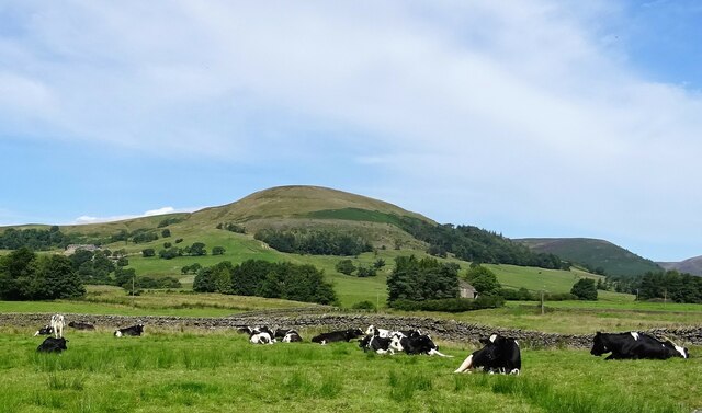
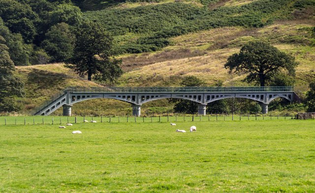
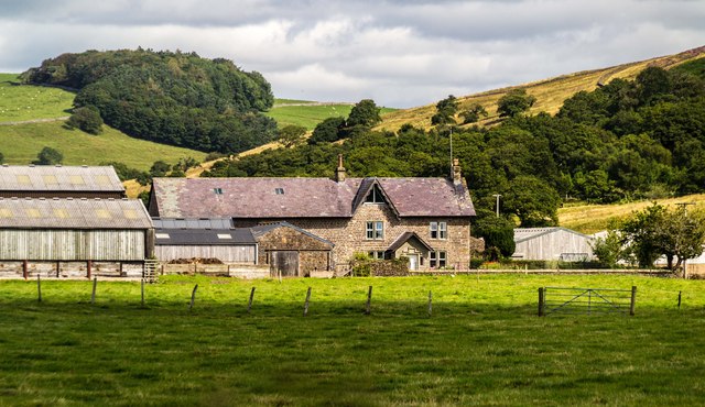
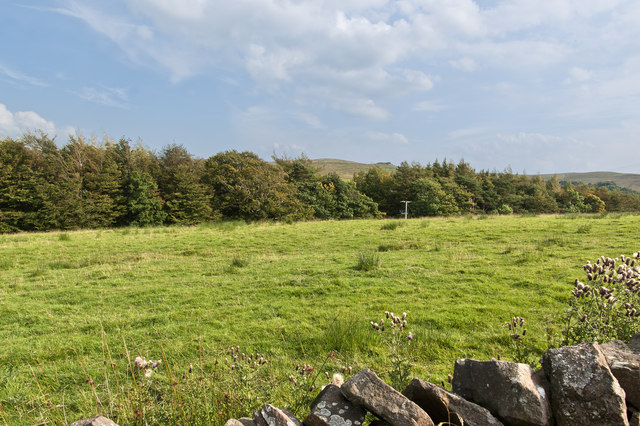
Burholme Moor is a picturesque area located in the Yorkshire Downs, a region renowned for its captivating natural beauty. The moorland, stretching over an expansive area, is characterized by its rolling hills, heather-covered landscapes, and scattered patches of boggy areas. This captivating scenery attracts nature enthusiasts, hikers, and photographers from far and wide.
The moorland is home to a diverse range of flora and fauna, making it an important ecological site. The heather that blankets the moorland bursts into a vibrant purple hue during the summer months, creating a breathtaking sight. It provides a haven for various bird species, including red grouse and curlews, which can be spotted gracefully gliding across the moor.
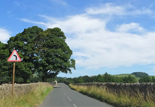
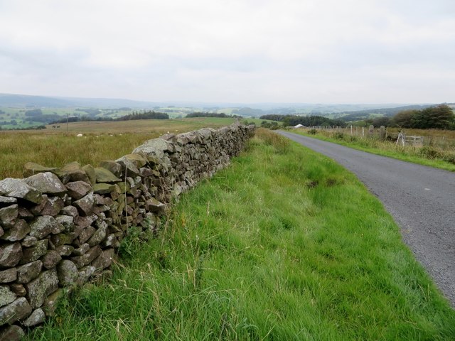
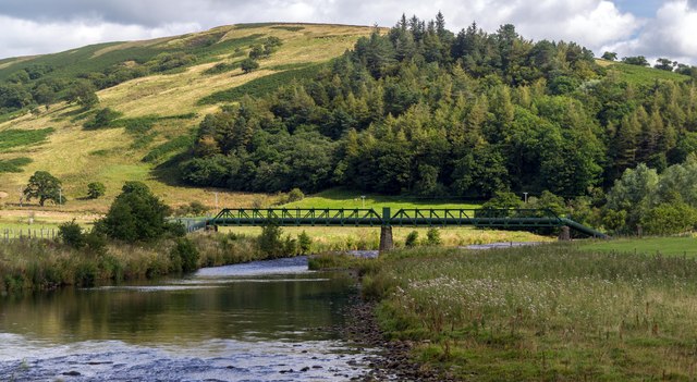
Burholme Moor offers a tranquil escape from the hustle and bustle of daily life, with its peaceful ambience and vast open spaces. The moorland is crisscrossed by a network of footpaths and trails, making it an ideal destination for hikers and walkers of all abilities. These paths lead visitors through stunning landscapes, revealing panoramic views of the surrounding countryside. Along the way, one may encounter ancient stone circles, remnants of a rich historical past.
Visitors to Burholme Moor can also explore the nearby villages, which offer a glimpse into the local culture and heritage. The warm hospitality of the locals, coupled with traditional pubs and quaint shops, provides an authentic Yorkshire experience.
In conclusion, Burholme Moor in Yorkshire Downs is a captivating moorland, offering breathtaking views, diverse wildlife, and a sense of tranquility. It is a must-visit destination for nature enthusiasts and those seeking a peaceful retreat in the heart of the Yorkshire countryside.
If you have any feedback on the listing, please let us know in the comments section below.
Burholme Moor Images
Images are sourced within 2km of 53.926496/-2.5039486 or Grid Reference SD6747. Thanks to Geograph Open Source API. All images are credited.


Burholme Moor is located at Grid Ref: SD6747 (Lat: 53.926496, Lng: -2.5039486)
Division: West Riding
Administrative County: Lancashire
District: Ribble Valley
Police Authority: Lancashire
What 3 Words
///contrived.dragons.tripped. Near Waddington, Lancashire
Nearby Locations
Related Wikis

Whitewell Hotel
Whitewell Hotel is an historic building in the English parish of Bowland Forest Low, Lancashire. It is Grade II listed, built in 1836, and is in sandstone...

Langden Brook
Langden Brook is a watercourse in the Trough of Bowland, Lancashire, England. A tributary of the River Hodder, its source is near the summit of Hawthornthwaite...

Bowland Rural District
Bowland was a rural district in the West Riding of Yorkshire from 1894 to 1974. It was named after the Forest of Bowland, which it included. It was formed...

Whitewell
Whitewell is a village within the civil parish of Bowland Forest Low and Ribble Valley borough of Lancashire, England. It is in the Forest of Bowland Area...

Bowland Forest Low
Bowland Forest Low is a civil parish in the Ribble Valley district of Lancashire, England, covering some 5,500 acres (22 km2) of the Forest of Bowland...

River Dunsop
The River Dunsop is a river in the Forest of Bowland in Northern England. It flows into the River Hodder at Dunsop Bridge.It begins at the confluence of...

Dunsop Bridge (structure)
Dunsop Bridge is a bridge in the English village of the same name. The structure, which dates to the early 19th century, crosses the River Dunsop. A Grade...

Bowland Forest High milestone
The Bowland Forest High milestone is an historic milestone marker in the English parish of Bowland Forest High, in the Trough of Bowland, Lancashire. A...
Nearby Amenities
Located within 500m of 53.926496,-2.5039486Have you been to Burholme Moor?
Leave your review of Burholme Moor below (or comments, questions and feedback).