Rodway Moor
Downs, Moorland in Shropshire
England
Rodway Moor

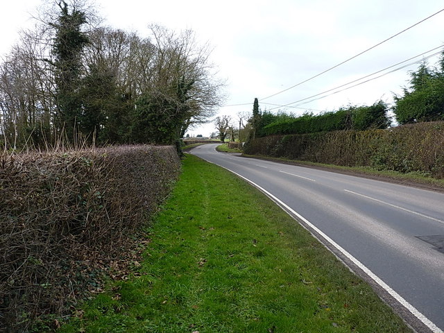
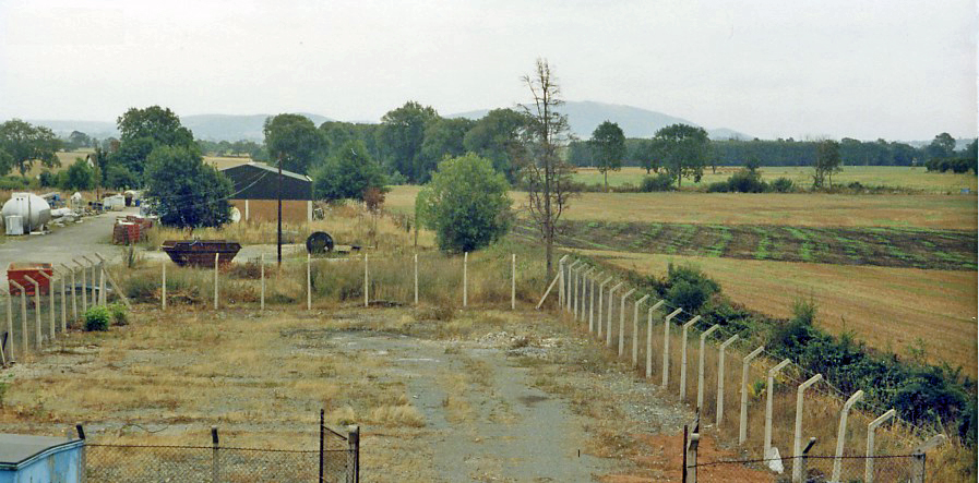
Rodway Moor is a vast expanse of downs and moorland located in the county of Shropshire, England. Spanning over a hundred acres, it is renowned for its picturesque landscapes and diverse flora and fauna.
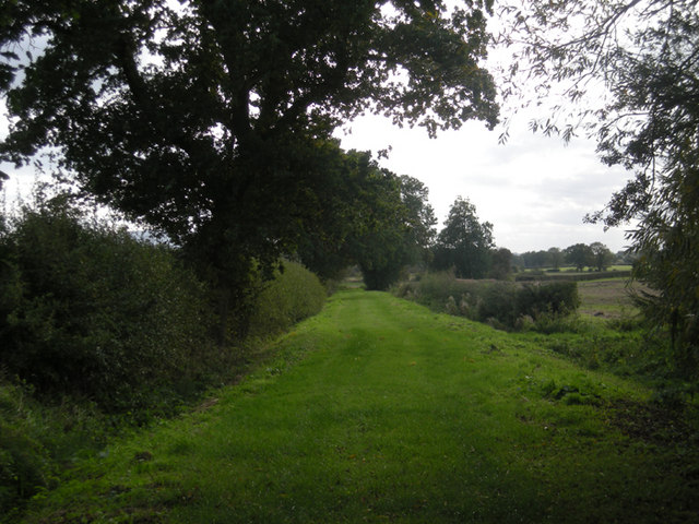
Situated in the heart of the Shropshire Hills Area of Outstanding Natural Beauty, Rodway Moor offers visitors a unique opportunity to immerse themselves in the unspoiled beauty of the countryside. The moorland is characterized by its undulating terrain, covered in heather, grasses, and wildflowers, creating a colorful tapestry that changes with the seasons. Visitors can explore the area through a network of footpaths and trails, allowing them to discover hidden valleys, ancient woodlands, and stunning panoramic views.
Rodway Moor is home to a rich variety of wildlife, making it a haven for nature enthusiasts. It is a known habitat for several rare bird species, including merlins, hen harriers, and red grouse. The moorland also supports a diverse range of insects, reptiles, and mammals, such as adders, grasshoppers, and rabbits.
For those interested in history, Rodway Moor boasts several archaeological sites, including Bronze Age burial mounds and ancient settlements. These remnants of the past offer a glimpse into the area's rich cultural heritage.
Rodway Moor provides a tranquil escape from the hustle and bustle of modern life, offering visitors the opportunity to connect with nature and enjoy the beauty of the Shropshire countryside. Whether it's a leisurely stroll, bird-watching, or simply appreciating the stunning vistas, this moorland is a must-visit destination for nature lovers and history enthusiasts alike.
If you have any feedback on the listing, please let us know in the comments section below.
Rodway Moor Images
Images are sourced within 2km of 52.756413/-2.5060088 or Grid Reference SJ6517. Thanks to Geograph Open Source API. All images are credited.


Rodway Moor is located at Grid Ref: SJ6517 (Lat: 52.756413, Lng: -2.5060088)
Unitary Authority: Telford and Wrekin
Police Authority: West Mercia
What 3 Words
///swooned.mailboxes.itself. Near Eyton upon the Weald Moors, Shropshire
Nearby Locations
Related Wikis
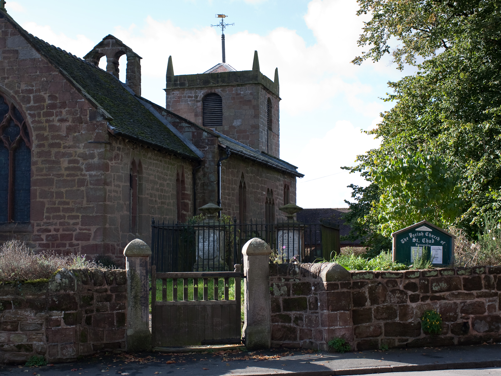
Kynnersley
Kynnersley is a village in Shropshire, England. Kynnersley lies in the borough of Telford and Wrekin, in a remote, rural location north of Telford. The...

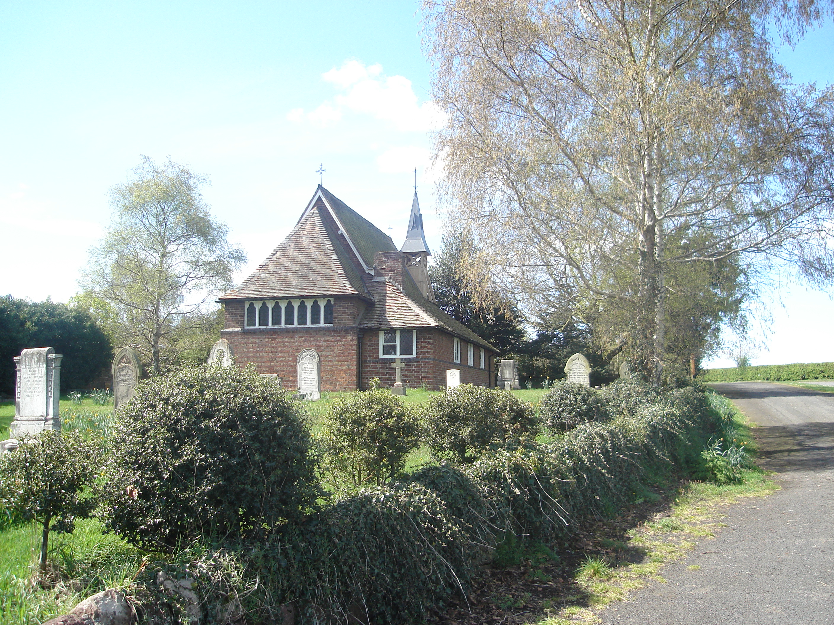
Cherrington
Cherrington is a village and former civil parish, now in the parish of Tibberton and Cherrington, in the Telford and Wrekin district, in the ceremonial...

Weald Moors
The Weald Moors are located in the ceremonial county of Shropshire north of Telford, stretching from north and west of the town of Newport towards Wellington...
Tibberton and Cherrington
Tibberton and Cherrington is a parish in the Telford and Wrekin borough of Shropshire, England. It consists of the villages of Tibberton and Cherrington...
Crudgington
Crudgington is a village in the borough of Telford and Wrekin and ceremonial county of Shropshire, England. It is situated in the civil parish of Waters...

Waters Upton
Waters Upton is a small village and civil parish in the Telford and Wrekin district, in the county of Shropshire, England. The population of the civil...

River Strine
The River Strine is a 3.4-mile-long (5.4 km) tributary of the River Tern flowing through the Telford and Wrekin district of Shropshire in England. The...
Crudgington railway station
Crudgington railway station was a station in Crudgington, Shropshire, England. The station was opened in 1867 and closed in 1963. == References == ��2...
Nearby Amenities
Located within 500m of 52.756413,-2.5060088Have you been to Rodway Moor?
Leave your review of Rodway Moor below (or comments, questions and feedback).