Asby Winderwath Common
Downs, Moorland in Westmorland Eden
England
Asby Winderwath Common
Asby Winderwath Common is a captivating area located in the district of Westmorland, Cumbria, England. It encompasses a diverse landscape comprising both downs and moorland, offering visitors a unique and picturesque experience. Spanning an approximate area of 2,000 acres, this common is a haven for nature enthusiasts and hikers alike.
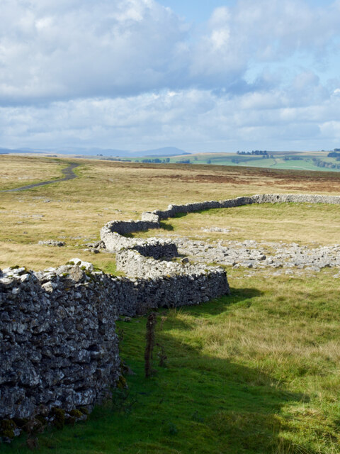
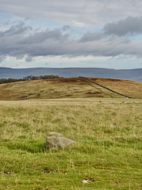
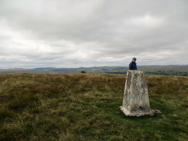
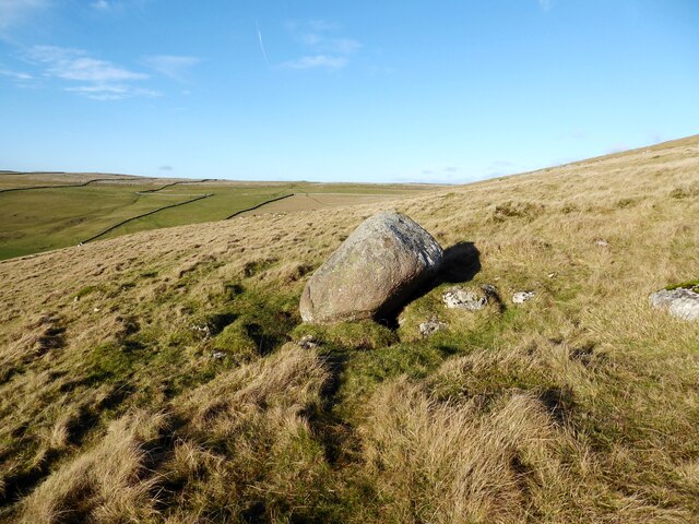
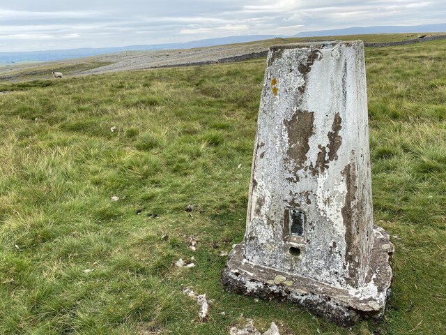
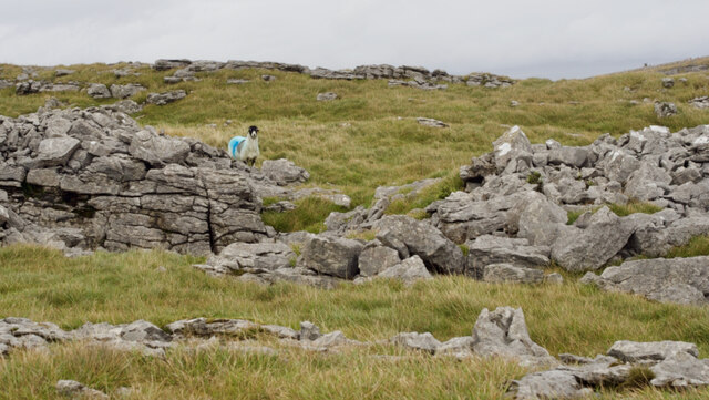
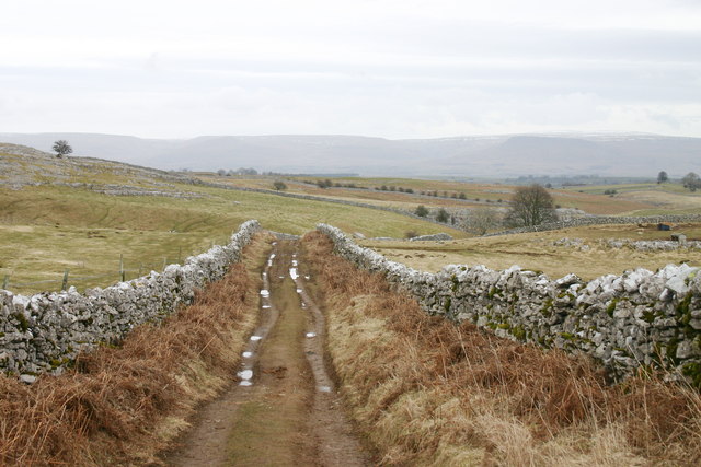
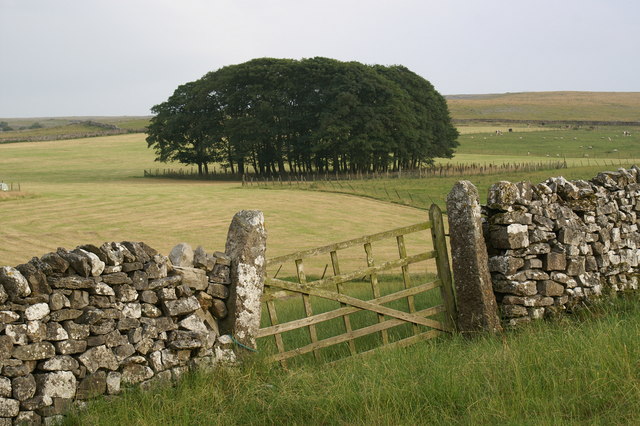
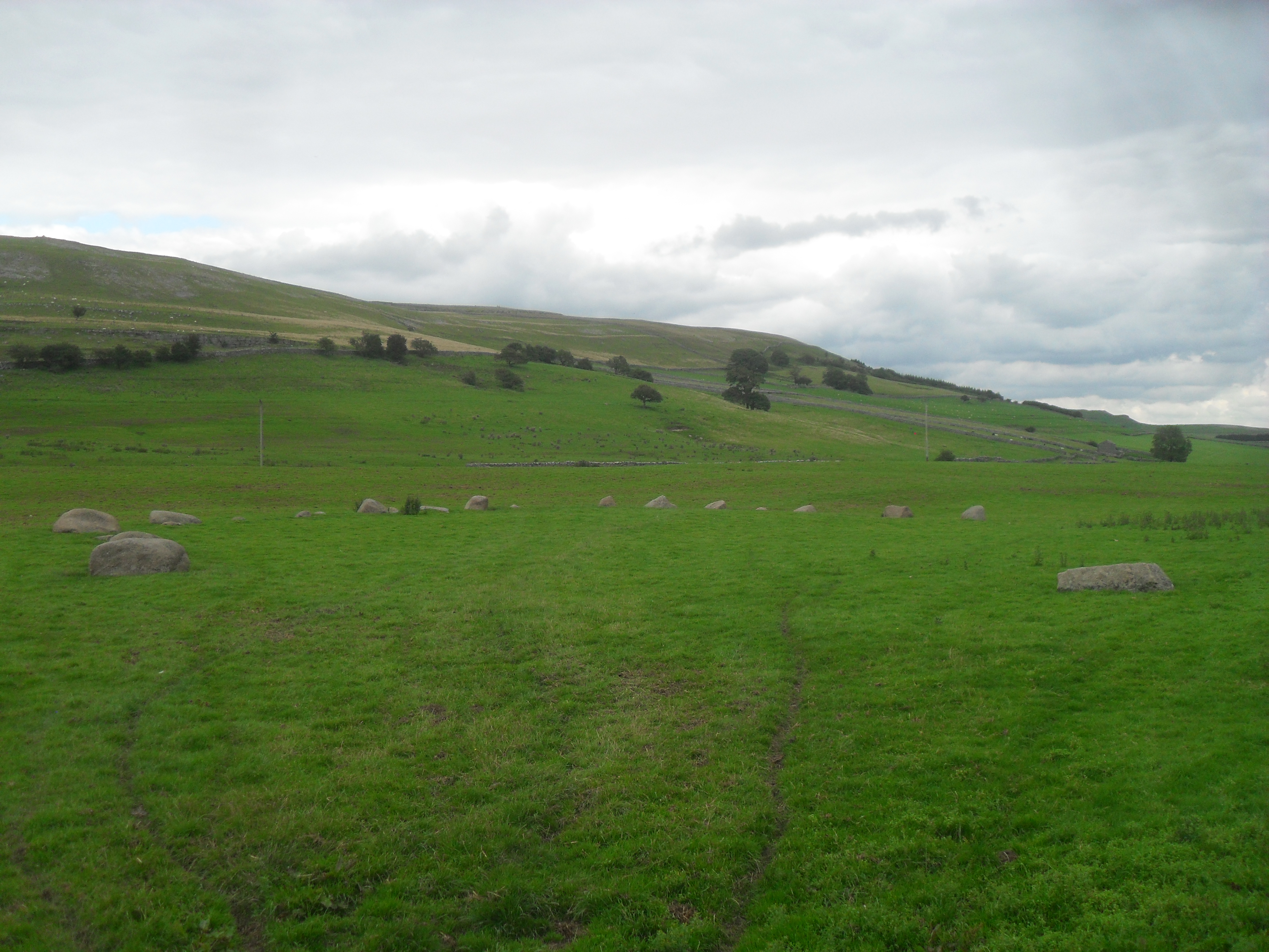
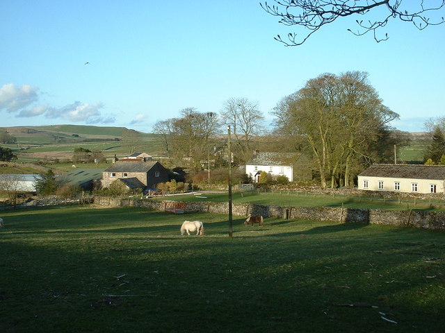
The downs of Asby Winderwath Common are characterized by their gently rolling hills, covered with lush green grasses and scattered with wildflowers during the warmer months. The area provides breathtaking panoramic views of the surrounding countryside, making it a popular spot for photographers and picnickers. The tranquil atmosphere is further enhanced by the presence of grazing sheep, adding to the charm of the rural landscape.
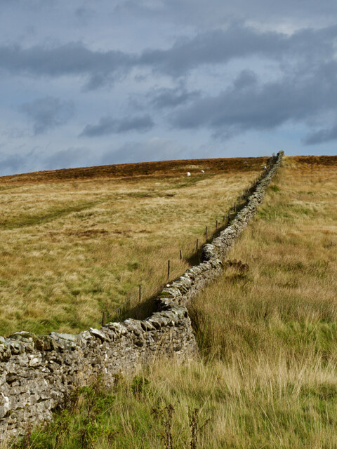
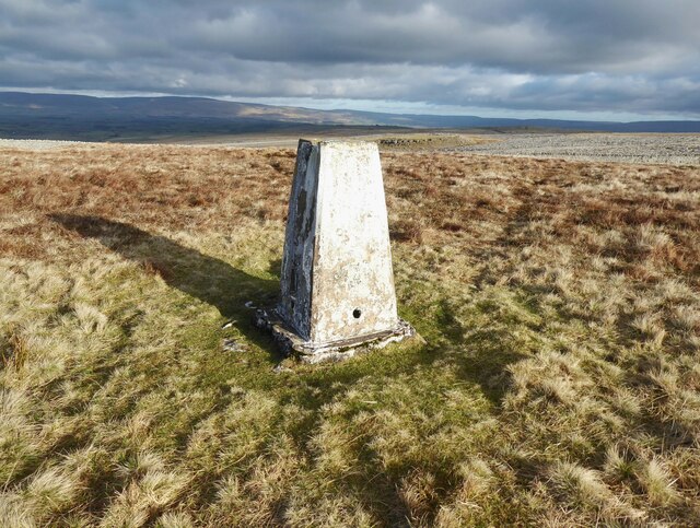
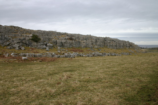
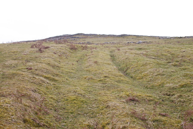
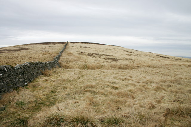
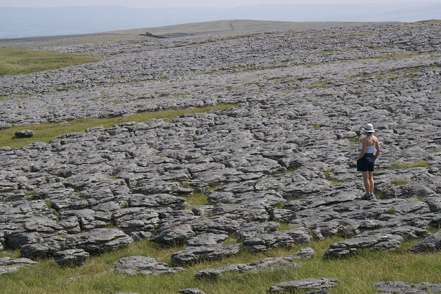
On the other hand, the moorland section of the common showcases a more rugged and wild terrain. With its vast expanses of heather and bracken, the moorland offers a stark contrast to the downs. Visitors can explore the numerous footpaths and trails that meander through the moors, taking in the stunning vistas and encountering an array of wildlife, such as red grouse and curlews.
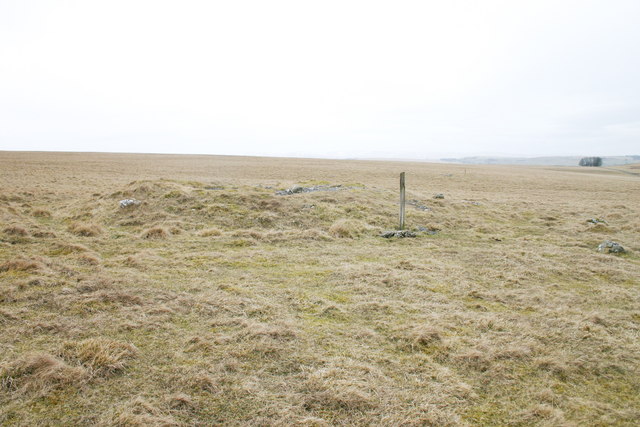
Asby Winderwath Common is steeped in history, with evidence of human habitation dating back to the Neolithic period. Ancient remains, including burial mounds and stone circles, can still be found scattered across the common, adding an element of intrigue and mystery to the area.
Overall, Asby Winderwath Common in Westmorland is a captivating destination, offering a harmonious blend of downs and moorland landscapes, rich history, and abundant wildlife. It is a place where visitors can immerse themselves in the beauty of nature and explore the remnants of the past.
If you have any feedback on the listing, please let us know in the comments section below.
Asby Winderwath Common Images
Images are sourced within 2km of 54.490753/-2.5275243 or Grid Reference NY6510. Thanks to Geograph Open Source API. All images are credited.
![Castle Folds &quot;Stone-built remains of a Romano-British enclosed settlement containing hut circles, reused as a Medieval shieling.&quot;
‘Heritage Gateway - Results’. 2012. Heritagegateway.org.uk &lt;<span class="nowrap"><a title="https://www.heritagegateway.org.uk/Gateway/Results_Single.aspx?uid=19a56ff5-bd5e-466f-9fd9-70ab22490715&amp;resourceID=19191" rel="nofollow ugc noopener" href="https://www.heritagegateway.org.uk/Gateway/Results_Single.aspx?uid=19a56ff5-bd5e-466f-9fd9-70ab22490715&amp;resourceID=19191">Link</a><img style="margin-left:2px;" alt="External link" title="External link - shift click to open in new window" src="https://s1.geograph.org.uk/img/external.png" width="10" height="10"/></span> &gt; [accessed 12 October 2022]](https://s2.geograph.org.uk/geophotos/07/31/08/7310862_f049424e.jpg)

Asby Winderwath Common is located at Grid Ref: NY6510 (Lat: 54.490753, Lng: -2.5275243)
Administrative County: Cumbria
District: Eden
Police Authority: Cumbria
What 3 Words
///headsets.strictest.arriving. Near Appleby-in-Westmorland, Cumbria
Nearby Locations
Related Wikis
Great Asby Scar
Great Asby Scar is a Site of Special Scientific Interest (SSSI) and National Nature Reserve in Cumbria, UK. It is an area of limestone pavement, south...

Sunbiggin
Sunbiggin is a hamlet in the civil parish of Orton, in the Westmorland and Furness district, in the ceremonial county of Cumbria, England. == Location... ==

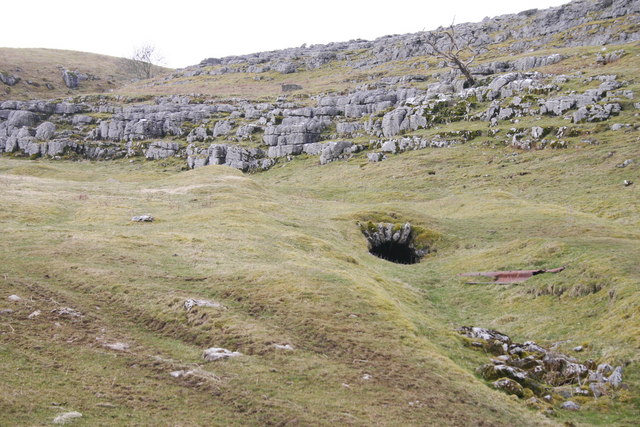
Pate Hole
Pate Hole is a solutional cave located adjacent to Asby Gill 1 kilometre (0.62 mi) south of Great Asby in Cumbria, England. It is 970 metres (3,180 ft...
Gamelands stone circle
Gamelands stone circle (or Orton stone circle) is a stone circle at the foot of Knott Hill in Cumbria, England. The stones are mostly made of red granite...

Great Asby
Great Asby is a village in Cumbria, England. Historically part of Westmorland, it is located approximately 15 miles (24 km) south east of Penrith and approximately...

Sunbiggin Tarn
Sunbiggin Tarn is a tarn near Sunbiggin in Cumbria. It is in a Site of Special Scientific Interest (SSSI) which also includes the surrounding moorland...
Raisbeck
Raisbeck is a hamlet in the civil parish of Orton, in the Westmorland and Furness district of Cumbria, England. The surname Raisbeck originates from the...

Asby, Eden
Asby is a civil parish in the Eden district of Cumbria, England. Historically part of Westmorland, it includes the villages of Great Asby and Little Asby...
Nearby Amenities
Located within 500m of 54.490753,-2.5275243Have you been to Asby Winderwath Common?
Leave your review of Asby Winderwath Common below (or comments, questions and feedback).