Brant Fell
Downs, Moorland in Yorkshire South Lakeland
England
Brant Fell
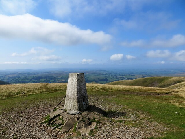
Brant Fell is a prominent hill located in the county of Yorkshire, England. Situated in the picturesque Yorkshire Dales, this natural landmark is part of the Yorkshire Downs and Moorland region. Rising to an elevation of approximately 629 feet (192 meters), Brant Fell offers breathtaking views of the surrounding countryside.
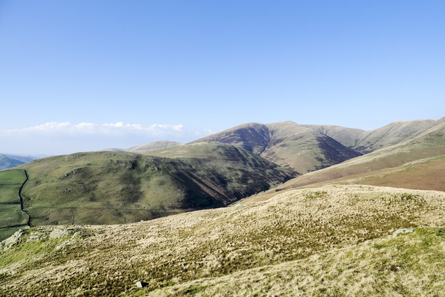
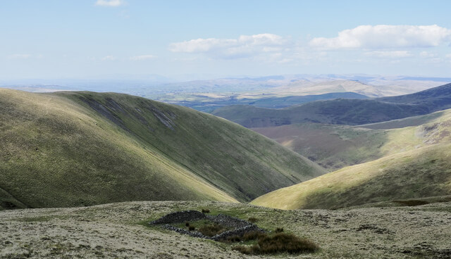
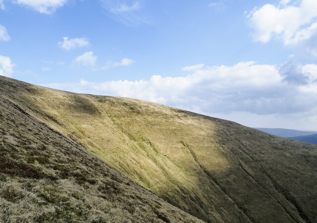
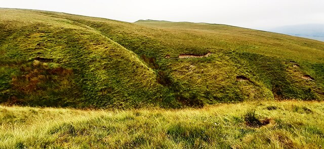
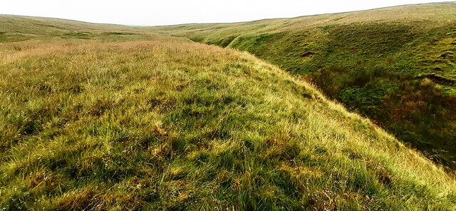
The hill is characterized by its gently sloping sides, covered in vibrant green grasses and scattered with rocky outcrops. Brant Fell is predominantly composed of limestone, which gives the area a unique geological identity. The limestone formations found here are a testament to the area's ancient history, with fossils and other remnants dating back millions of years.
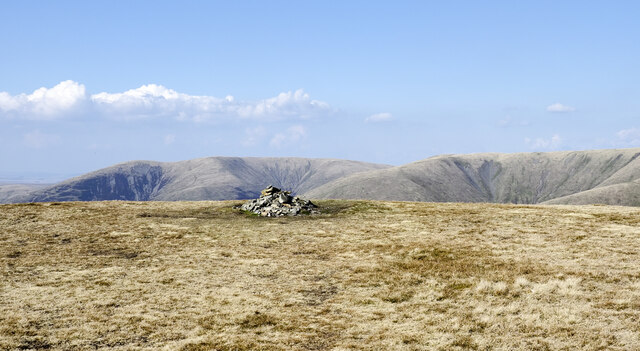
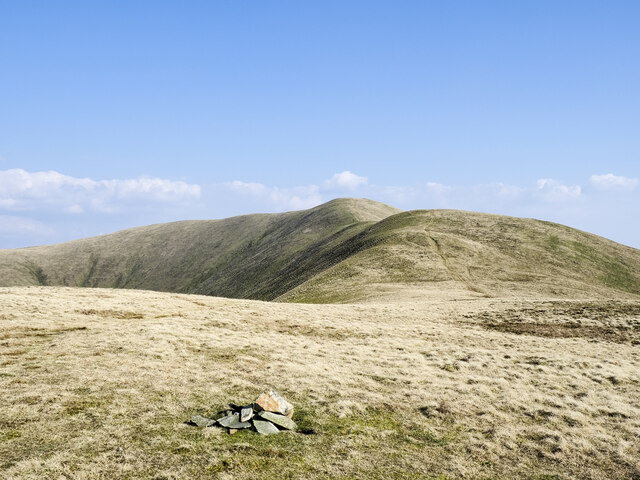
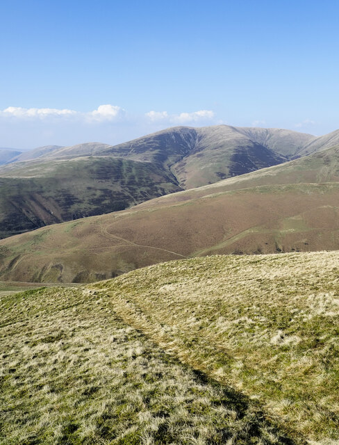
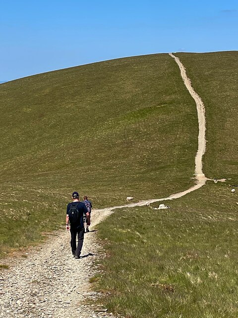
The hill is a popular destination for hikers and nature enthusiasts, with several well-maintained trails leading to its summit. These paths wind through the rolling countryside, passing by charming villages, meandering streams, and lush woodlands. Along the way, visitors can spot a variety of flora and fauna, including wildflowers, birds, and small mammals.
At the top of Brant Fell, visitors are rewarded with panoramic views of the surrounding Yorkshire Dales. On a clear day, one can see for miles, taking in the patchwork of farmland, quaint villages, and distant hills. The hilltop also offers a peaceful and serene atmosphere, making it an ideal spot for a picnic or simply to unwind and soak in the beauty of nature.
Overall, Brant Fell is a stunning natural landmark in the Yorkshire Downs and Moorland region, providing visitors with a glimpse into the diverse and captivating landscape of Yorkshire.
If you have any feedback on the listing, please let us know in the comments section below.
Brant Fell Images
Images are sourced within 2km of 54.353605/-2.5286269 or Grid Reference SD6595. Thanks to Geograph Open Source API. All images are credited.


Brant Fell is located at Grid Ref: SD6595 (Lat: 54.353605, Lng: -2.5286269)
Division: West Riding
Administrative County: Cumbria
District: South Lakeland
Police Authority: Cumbria
What 3 Words
///eggplants.lamps.status. Near Sedbergh, Cumbria
Nearby Locations
Related Wikis

Calders (Yorkshire Dales)
Calders is a summit of 2,211 feet (674 m) in the Howgill Fells, Cumbria, England. It lies about 2⁄3 mile (1 km) south east of the summit of The Calf and...

The Calf
The Calf, at an elevation of 676 metres (2,218 ft), is the highest point in the Howgill Fells, an area of high ground in north-west England. It is in the...

Holy Trinity Church, Howgill
Holy Trinity Church stands in a country lane near the hamlet of Howgill, between Sedbergh and Tebay, Cumbria, England. It is an active Anglican church...

Sedbergh People's Hall
Sedbergh People's Hall is a village hall in Sedbergh, unique because it was built by the people, for the people. == Land and lease == The land on which...
Nearby Amenities
Located within 500m of 54.353605,-2.5286269Have you been to Brant Fell?
Leave your review of Brant Fell below (or comments, questions and feedback).