Burton Common
Downs, Moorland in Dorset
England
Burton Common
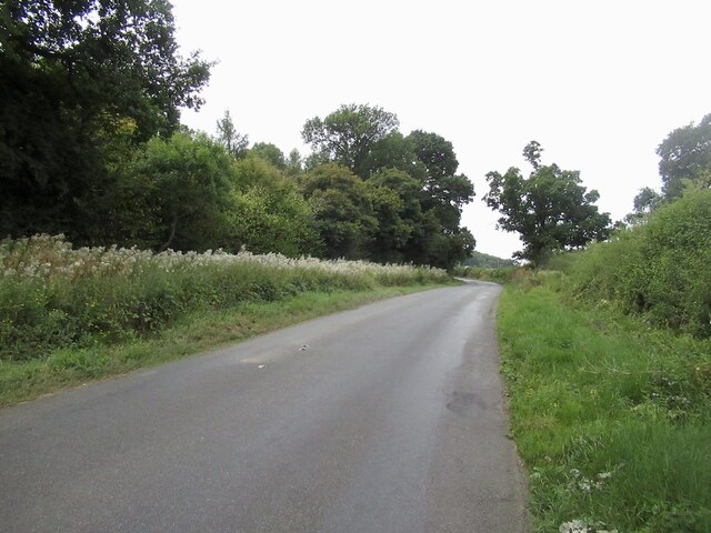
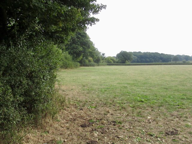
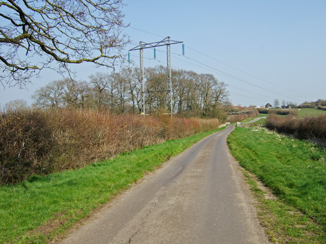
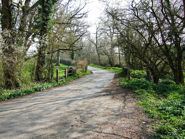
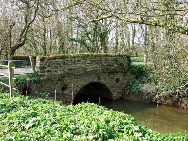
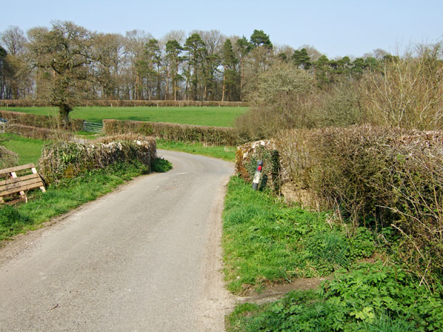
Burton Common is a picturesque area located in the county of Dorset, England. Situated between the villages of Burton Bradstock and Abbotsbury, it covers an expansive stretch of land spanning over 200 acres. The common is renowned for its diverse landscape, which includes both downs and moorland.
The downs of Burton Common are characterized by rolling hills covered in lush grasses and scattered with vibrant wildflowers. These open grasslands offer stunning panoramic views of the surrounding countryside and the nearby coastline. The area is home to a variety of wildlife, including rabbits, hares, and numerous bird species, making it a popular destination for nature enthusiasts and birdwatchers.
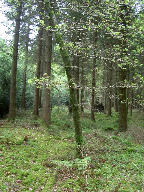
In contrast, the moorland section of Burton Common boasts a more rugged and untamed terrain. Here, visitors can explore heathlands covered in heather and gorse bushes, interspersed with pockets of dense woodland. This diverse habitat provides a sanctuary for an array of plant and animal species, such as lizards, adders, and rare orchids.
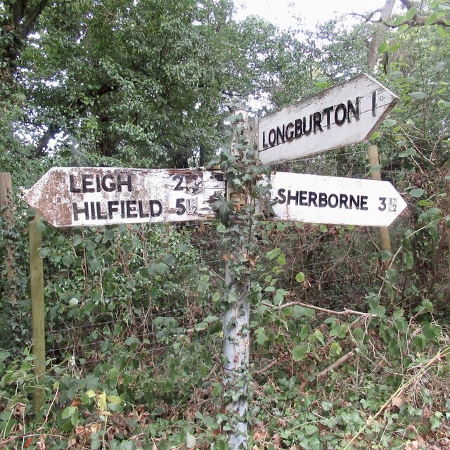
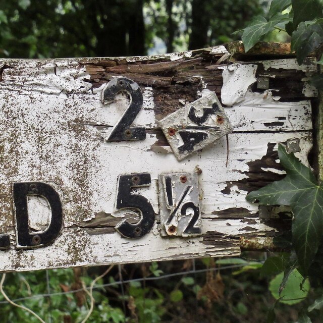
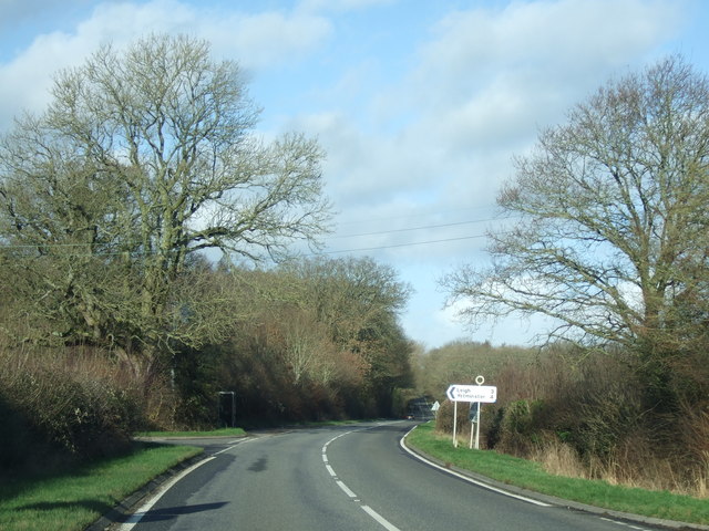
The common is crisscrossed by a network of footpaths and trails, allowing visitors to fully immerse themselves in its natural beauty. These paths lead to various points of interest, including the iconic Burton Bradstock beach and the historic Abbotsbury Swannery, which is the only managed colony of nesting mute swans in the world.
Burton Common offers a tranquil escape from the bustle of everyday life, providing visitors with the opportunity to explore and appreciate the unique landscapes and biodiversity that Dorset has to offer.
If you have any feedback on the listing, please let us know in the comments section below.
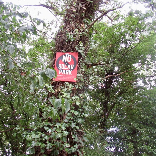
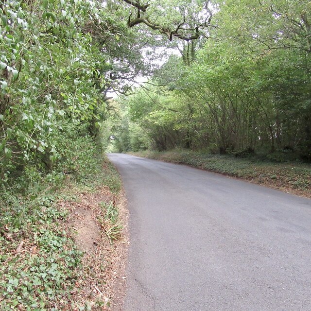
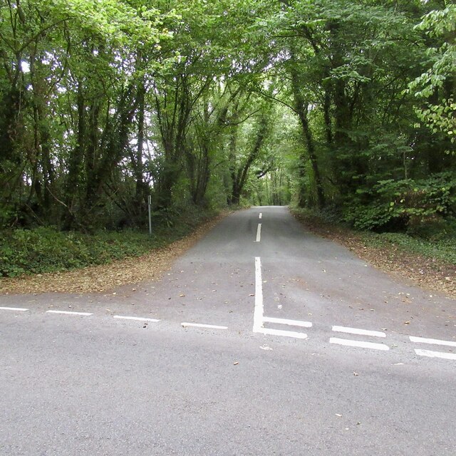
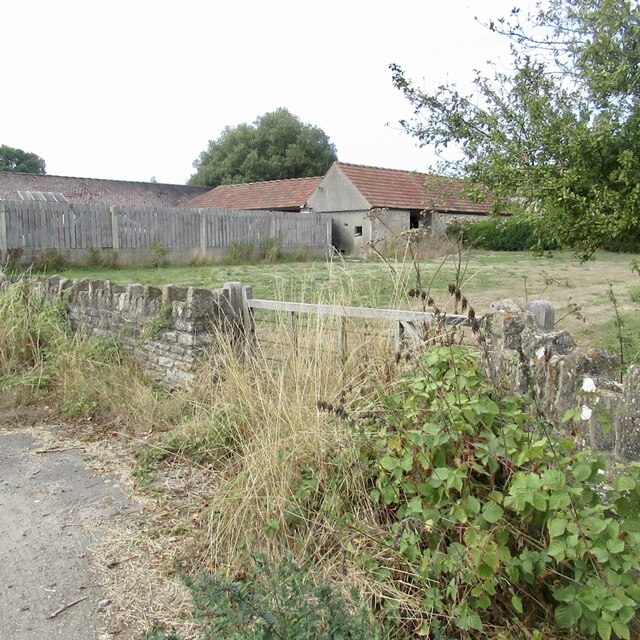
Burton Common Images
Images are sourced within 2km of 50.9006/-2.4889754 or Grid Reference ST6511. Thanks to Geograph Open Source API. All images are credited.

Burton Common is located at Grid Ref: ST6511 (Lat: 50.9006, Lng: -2.4889754)
Unitary Authority: Dorset
Police Authority: Dorset
What 3 Words
///increases.boldest.mango. Near Sherborne, Dorset
Nearby Locations
Related Wikis

Holnest SSSI, Dorset
Holnest SSSI, Dorset (grid reference ST667106) is a 54.83 hectare biological Site of Special Scientific Interest in Dorset, notified in 2004.The site has...
Longburton
Longburton or Long Burton is a village in Dorset, England, three miles (5 km) south of Sherborne. It is sited on a narrow outcrop of Cornbrash limestone...

Holnest
Holnest is a village and civil parish in the county of Dorset in southern England. It lies in the Blackmore Vale 4 miles (6.4 km) south of Sherborne. It...
Folke Wood
Folke Wood is a wood near Folke in Dorset, England. It was planted by the Woodland Trust in 1985. It consists of native broadleaved trees as well as apple...

Folke
Folke is a parish in the county of Dorset in southern England, situated in the Blackmore Vale, approximately 3.5 miles (5.6 km) south-east of Sherborne...

Alweston
Alweston is a village in Dorset, England, situated roughly 3.5 miles (5.6 km) southeast of Sherborne. Historically it belonged to the Parish of Folke,...
Leweston School
Leweston School is an independent day and boarding school near Sherborne in Dorset, England. The school is co-educational in the Nursery and Preparatory...

St Peter and St Paul's Church, Caundle Marsh
St Peter and St Paul's Church is a Church of England parish church in Caundle Marsh, Dorset, England. It was designed by Robert Howard Shout and built...
Nearby Amenities
Located within 500m of 50.9006,-2.4889754Have you been to Burton Common?
Leave your review of Burton Common below (or comments, questions and feedback).