Arbikie Moor
Downs, Moorland in Angus
Scotland
Arbikie Moor
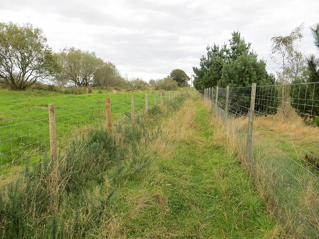
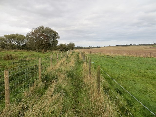
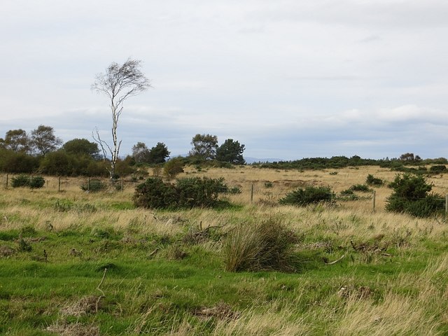
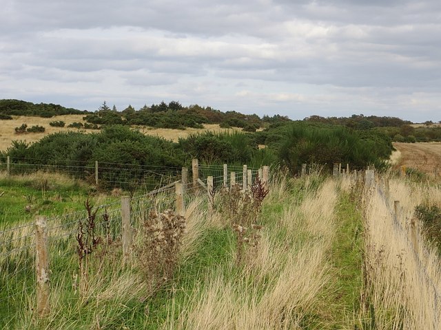
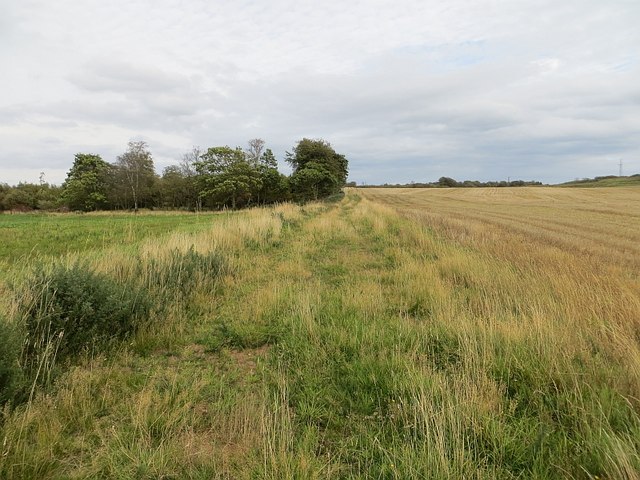
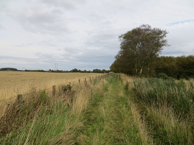
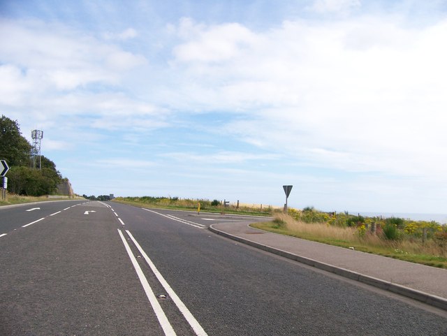
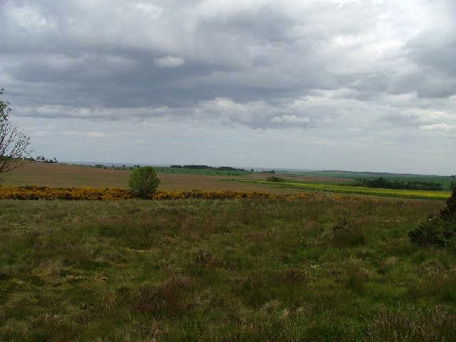
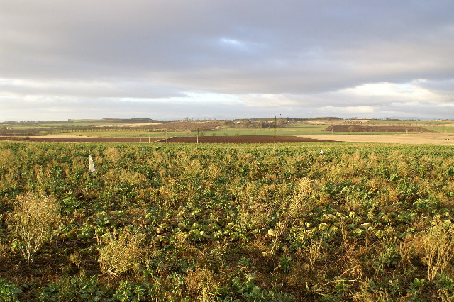
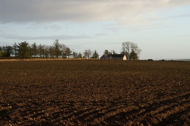
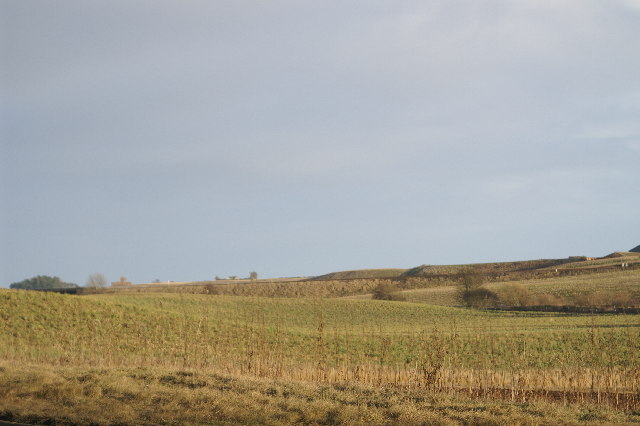
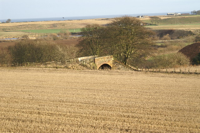
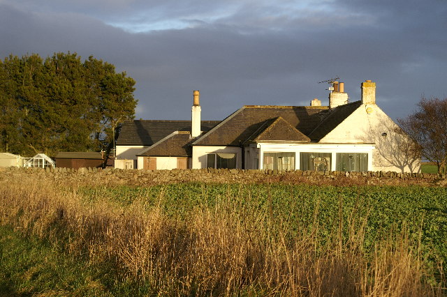
Arbikie Moor, located in Angus, Scotland, is a captivating area of downs and moorland that stretches across a vast expanse of approximately 1,000 acres. Nestled amidst the picturesque landscape of the eastern coast of Scotland, this area offers visitors a unique and breathtaking experience.
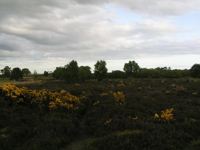
The moorland of Arbikie Moor boasts a diverse range of flora and fauna, making it a haven for nature enthusiasts. The rolling downs are covered with a rich tapestry of heather, grasses, and wildflowers, creating a vibrant and colorful vista. Rare plant species such as the Scottish primrose and bog myrtle can also be found here, adding to the region's ecological significance.
The area is home to a variety of bird species, including the elusive hen harrier and the iconic red grouse. These birds thrive in the open moorland, which provides them with an abundance of food and suitable nesting sites. It is not uncommon to spot soaring buzzards or hear the distinctive call of the curlew while exploring the moor.
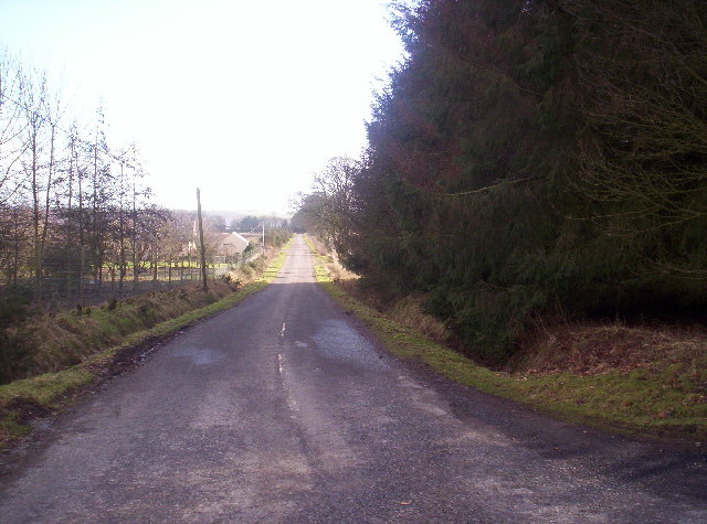
Arbikie Moor offers visitors a chance to immerse themselves in the tranquility of nature. The moorland is crisscrossed by a network of paths and trails, allowing hikers and walkers to explore its stunning vistas and appreciate its natural beauty. The undulating terrain offers a moderate challenge, making it an ideal location for outdoor enthusiasts of all levels of fitness.
For those interested in the history and heritage of the area, Arbikie Moor also features remnants of ancient settlements and burial mounds, providing a glimpse into the lives of the people who once called this landscape home.
Overall, Arbikie Moor in Angus is a captivating destination that combines natural beauty, biodiversity, and cultural significance, making it a must-visit location for anyone seeking a true Scottish countryside experience.
If you have any feedback on the listing, please let us know in the comments section below.
Arbikie Moor Images
Images are sourced within 2km of 56.657977/-2.5611039 or Grid Reference NO6551. Thanks to Geograph Open Source API. All images are credited.
Arbikie Moor is located at Grid Ref: NO6551 (Lat: 56.657977, Lng: -2.5611039)
Unitary Authority: Angus
Police Authority: Tayside
What 3 Words
///release.gardens.bolsters. Near Friockheim, Angus
Nearby Locations
Related Wikis

Arbikie distillery
Arbikie distillery is a scotch whisky, vodka and gin distillery in Inverkeilor, Angus, Scotland. == History == The distillery was built in 2013 on the...
Inverkeilor
Inverkeilor is a village and parish in Angus, Scotland. It lies near the North Sea coast, midway between Arbroath and Montrose. The A92 road now bypasses...

Inverkeilor railway station
Inverkeilor railway station served the village of Inverkeilor, Angus, Scotland from 1883 to 1930 on the North British, Arbroath and Montrose Railway....
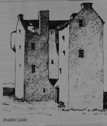
Braikie Castle
Braikie Castle is a late 16th century Scottish tower house, midway between Arbroath and Brechin, east of the village of Friockheim in the parish of Kinnell...

Lunan, Angus
Lunan is a hamlet in Angus, Scotland, in the parish of the same name, 6 kilometres (3.7 mi) south of Montrose. The hamlet overlooks Lunan Bay, which is...

Red Castle, Angus
Red Castle of Lunan is a ruined fortified house on the coast of Angus, Scotland. It is about 4 miles (6.4 km) south-southwest of Montrose. == History... ==

Lunan Bay railway station
Lunan Bay railway station served the village of Lunan, Angus, Scotland from 1883 to 1964 on the North British, Arbroath and Montrose Railway. == History... ==
Lunan Water
The Lunan Water is an easterly flowing river in Angus, Scotland, that discharges to the North Sea 11 kilometres (6.8 mi) north of the town of Arbroath...
Nearby Amenities
Located within 500m of 56.657977,-2.5611039Have you been to Arbikie Moor?
Leave your review of Arbikie Moor below (or comments, questions and feedback).